-
-
SafeZone.os
-
Page_one
-
-
-
-
-
Inspiration
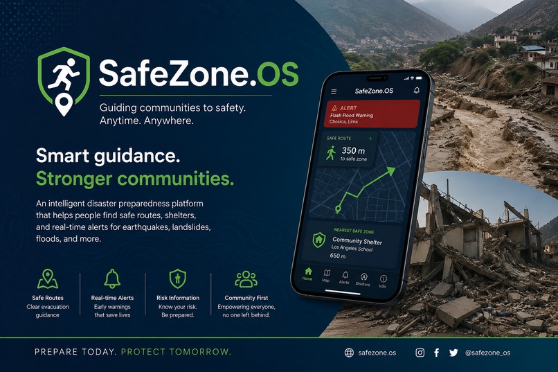
Our inspiration comes from real-world experience in Disaster Risk Management. As members of a disaster response and preparedness team, we have witnessed firsthand how earthquakes, landslides, and flash floods repeatedly threaten vulnerable communities, especially in areas like Chosica, Peru. We realized that the greatest risk is often not the disaster itself, but the lack of accessible information that helps people make life-saving decisions in the critical first minutes. We believe that everyone, regardless of their economic situation, deserves equal access to safety.
What it does
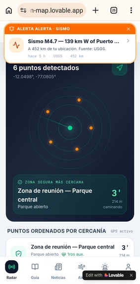
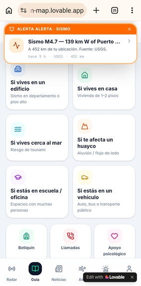
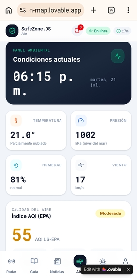
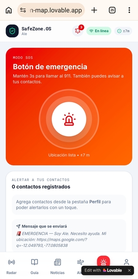
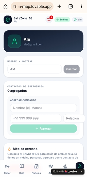
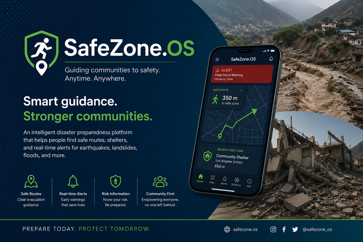
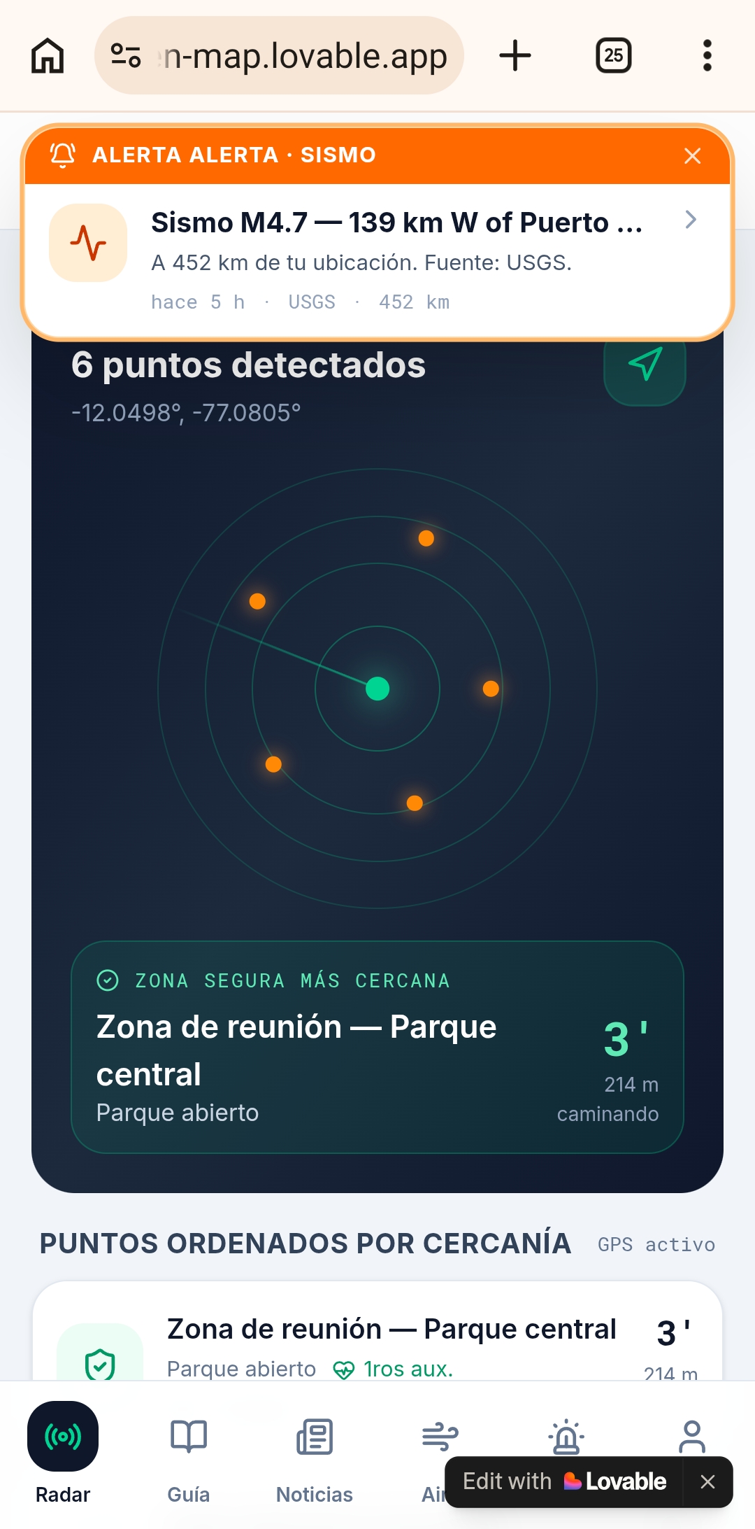
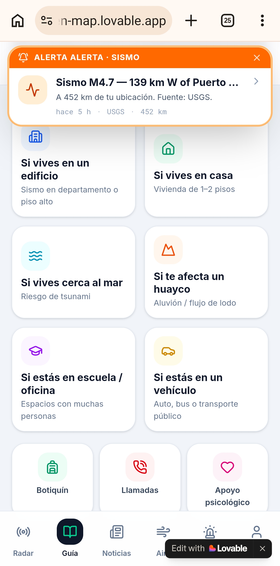
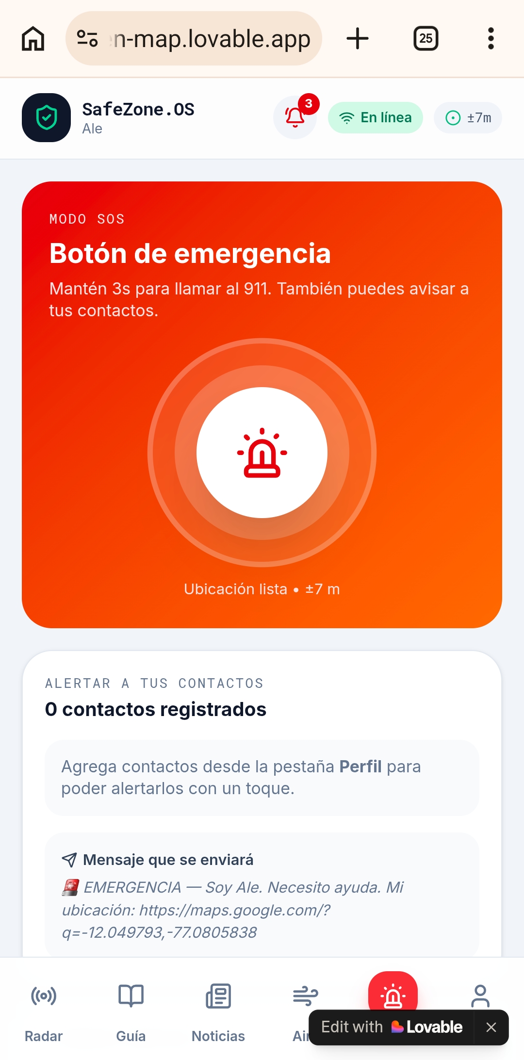
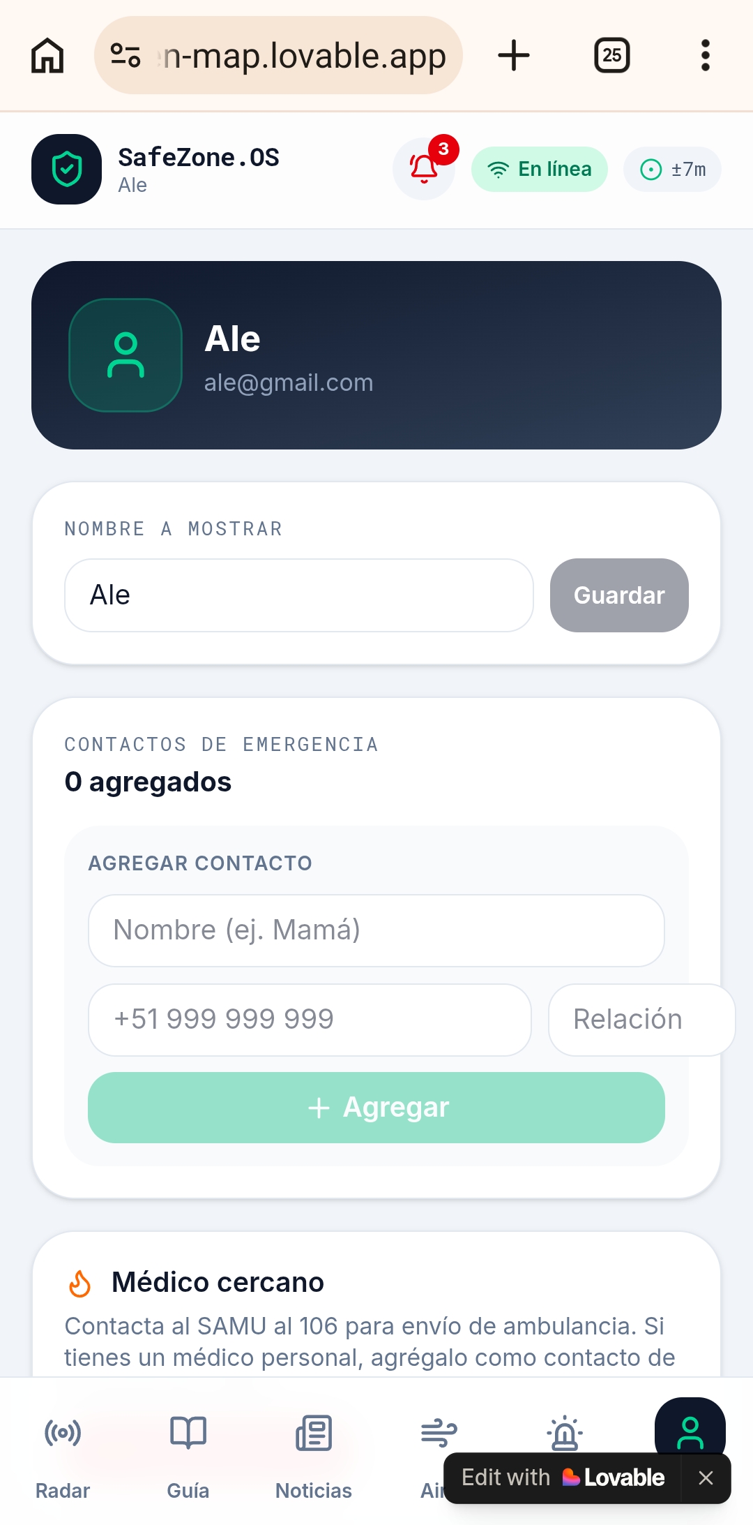
\textbf{Safe Zone} is an intelligent disaster preparedness platform that helps people identify the safest evacuation routes and shelters during natural hazards such as earthquakes, landslides, and floods. By combining geospatial information, real-time alerts, and risk analysis, the platform provides clear guidance that enables users to react quickly, reducing confusion and preventing fatal accidents.
How we built it
We developed Safe Zone by integrating hazard maps, geospatial data, and emergency preparedness guidelines into an intuitive platform. Our solution leverages modern technologies for mapping, data visualization, and location-based services to provide reliable recommendations that remain accessible even for vulnerable communities with limited resources.
Challenges we ran into
One of our greatest challenges was designing a solution that remains useful during emergencies, when connectivity, power, and communication infrastructure may be compromised. We also faced the challenge of making complex risk information easy to understand for users without technical knowledge, while ensuring that the system could adapt to multiple disaster scenarios.
Accomplishments that we're proud of
We are proud of creating a solution driven by real community needs rather than assumptions. Safe Zone transforms disaster preparedness into an accessible experience that empowers people instead of overwhelming them. Most importantly, our project demonstrates that technology can become a practical tool for protecting lives, particularly for underserved populations that are often overlooked.
What we learned
Throughout this journey, we learned that resilience begins long before a disaster occurs. Technology alone cannot save lives; it must be designed with empathy, accessibility, and the realities of the communities it serves. We also discovered the importance of interdisciplinary collaboration, where engineering, geospatial intelligence, and disaster risk management come together to create meaningful social impact.
What's next for SafeZone.os
Our next milestone is to transform SafeZone.OS from a prototype into a scalable disaster resilience platform that can support vulnerable communities across Peru and beyond.
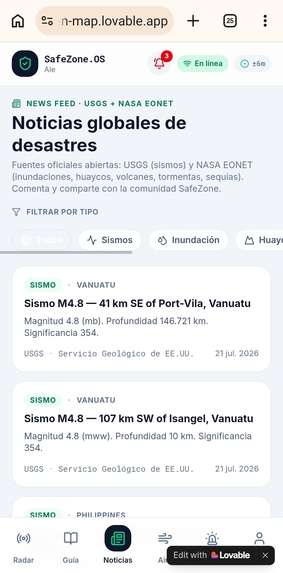
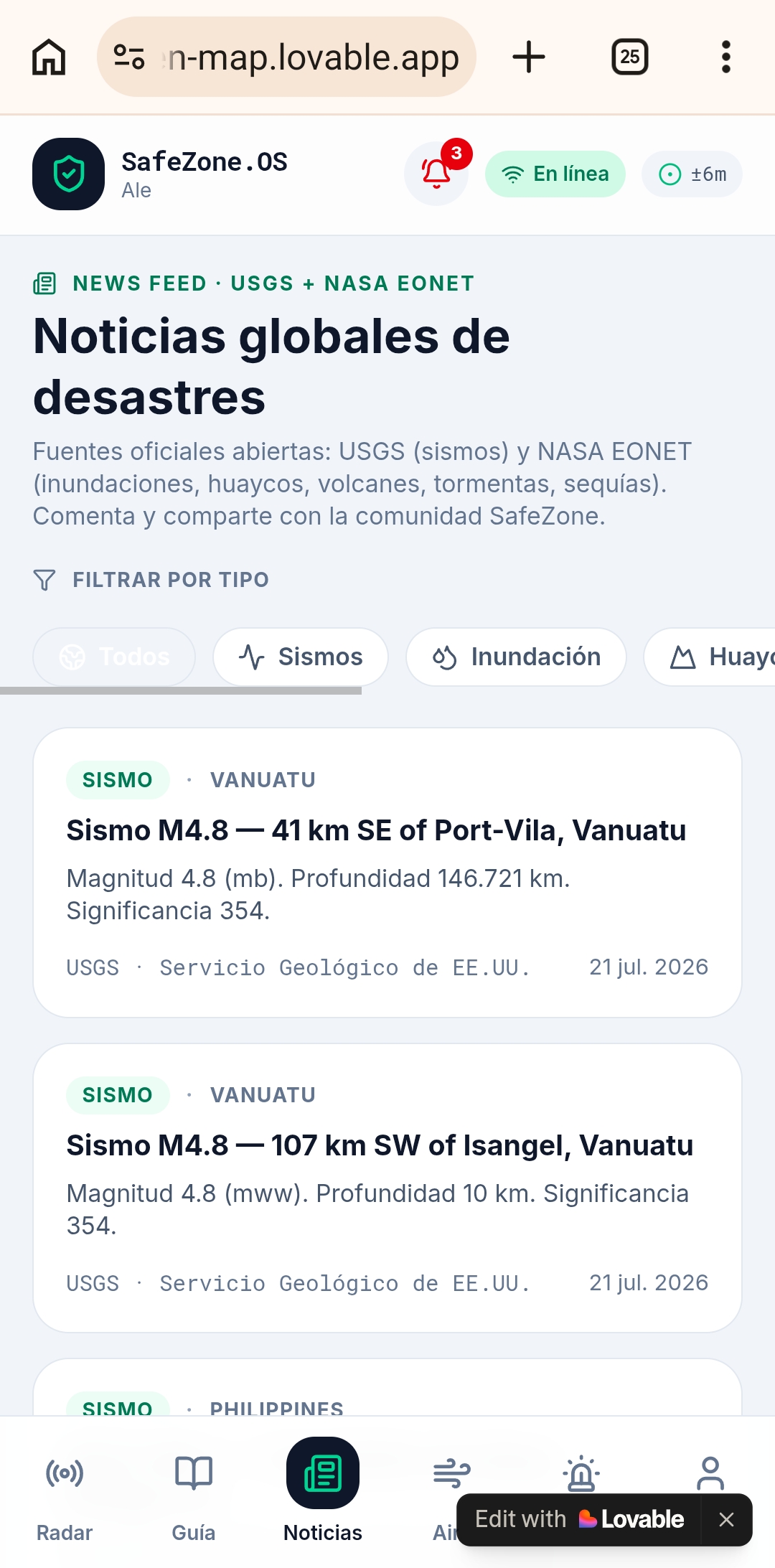
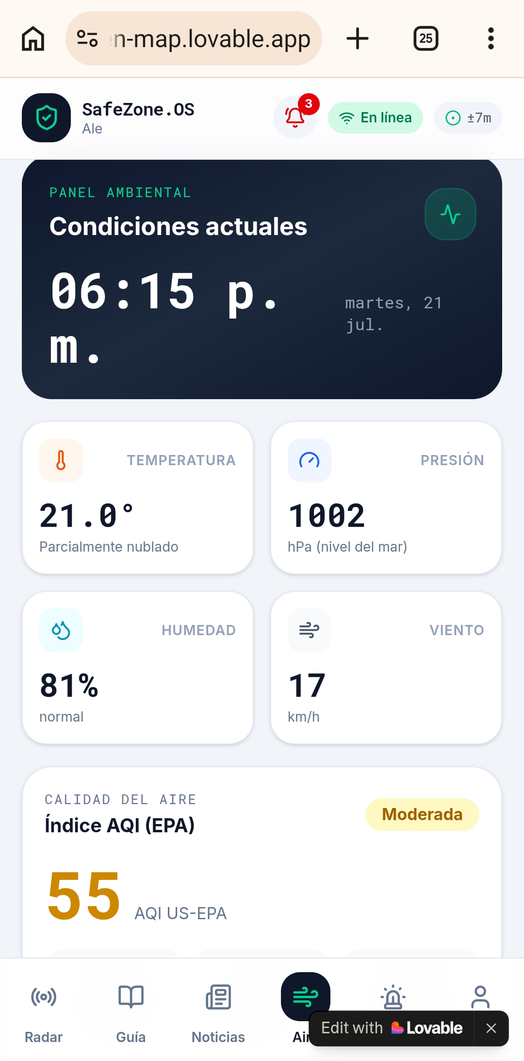
We plan to integrate real-time data from seismic, meteorological, and hydrological monitoring systems to provide faster and more reliable risk alerts. We also aim to develop offline capabilities, ensuring that critical evacuation guidance remains available even when internet connectivity fails during emergencies.
Beyond technology, we seek to partner with local governments, emergency response agencies, NGOs, and community leaders to validate our solution through pilot deployments in high-risk areas such as Chosica. These collaborations will allow us to continuously improve the platform using real-world feedback while promoting a culture of preparedness.
In the long term, our vision is for SafeZone.OS to become an open, AI-powered disaster preparedness ecosystem that combines predictive analytics, geospatial intelligence, and community participation to help people make informed decisions before, during, and after natural disasters.
Our ultimate goal is simple yet ambitious: to ensure that no one loses their life because they didn't know where safety was.
Built With
- claude
- google-maps
- ia
- lovable
- python





Log in or sign up for Devpost to join the conversation.