
Inspiration
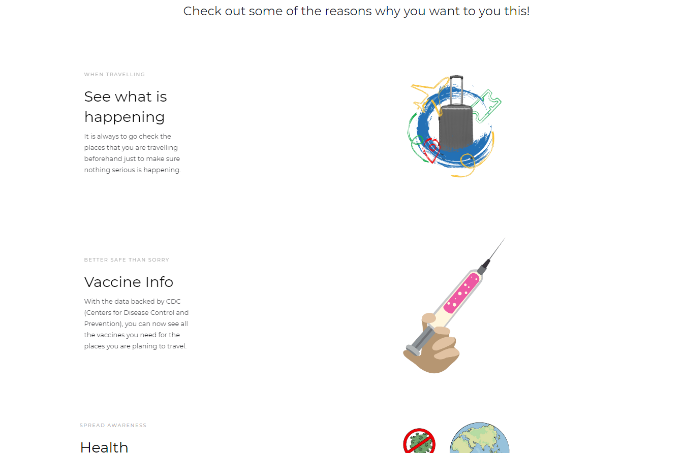
It is important to be aware of the places that you are traveling to. There is a lot of data and websites that one can look up to see the information regarding the places they plan to travel to. However, it is so hard to find. SafeTravels is here to bridge those frustrations.
What it does
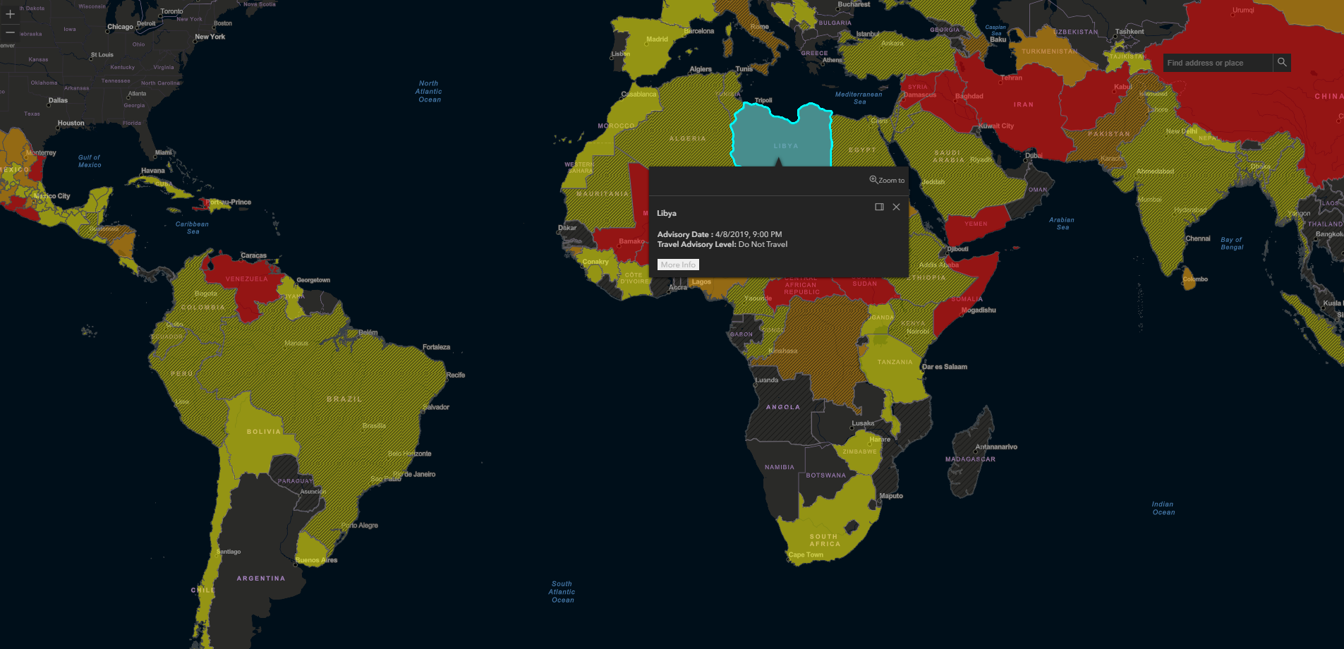
SafeTravels present the latest information about the travel and health data from the CDC(Center for Disease Control) travel advisory data from the U.S. Department of the State. Users can use the interactive map provided by Arcgis Map to quickly view what you want to search about. Just click on the map or use the search bar to look for the countries. Once you clicked on the selected country you will then see all the data you needed to know about your safety journey.
How I built it
I used web crawler (scrapy) from CDC and populate to JSON files, HTML, CSS, Javascript and also design with Webflow to create the front-end and backend of the web application while incorporating map widgets from ArcGIS API and then hosted on the Google Firebase.
Challenges I ran into
It was really challenging mainly incorporating the ArcGIS data and learn how to use a web crawler and then to convert to JSON files and renaming the strings. Firebase was a good learning experience.
Accomplishments that I'm proud of
Visually appealing!
Built With
- arcgis-api
- css3
- esri
- google-app-engine
- html5
- javascript
- python
- scrapy

Log in or sign up for Devpost to join the conversation.