-
-
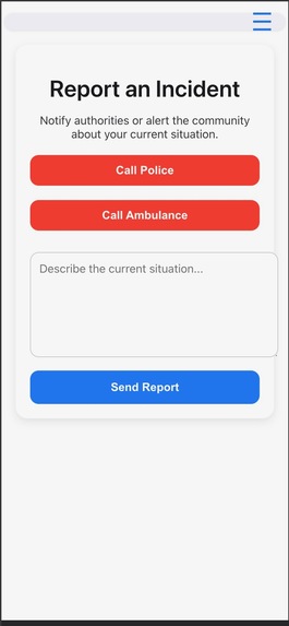
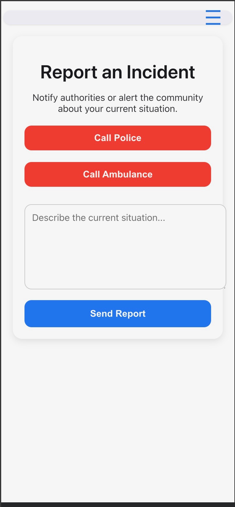
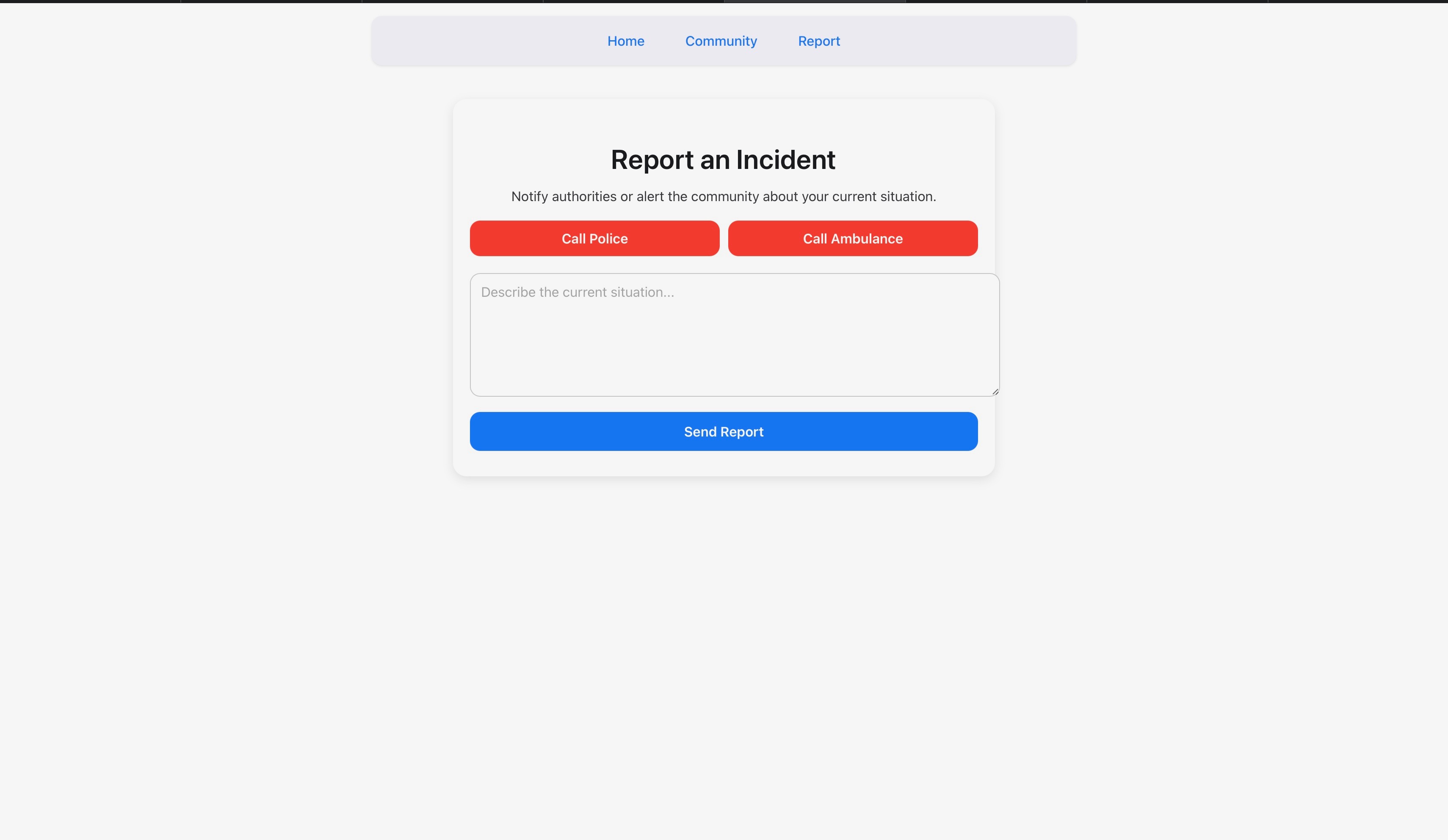
Report to the police/Rate a road!
-
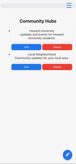
Community hubs - Users may join a hub to interact with fellow users (Mobile View)
-
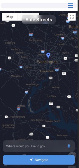
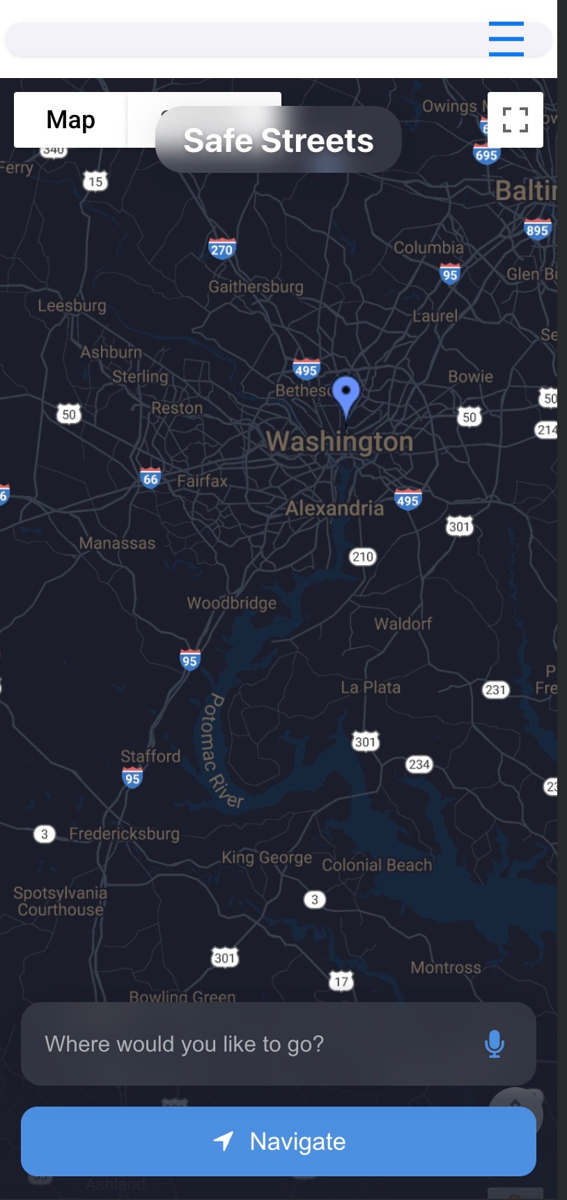
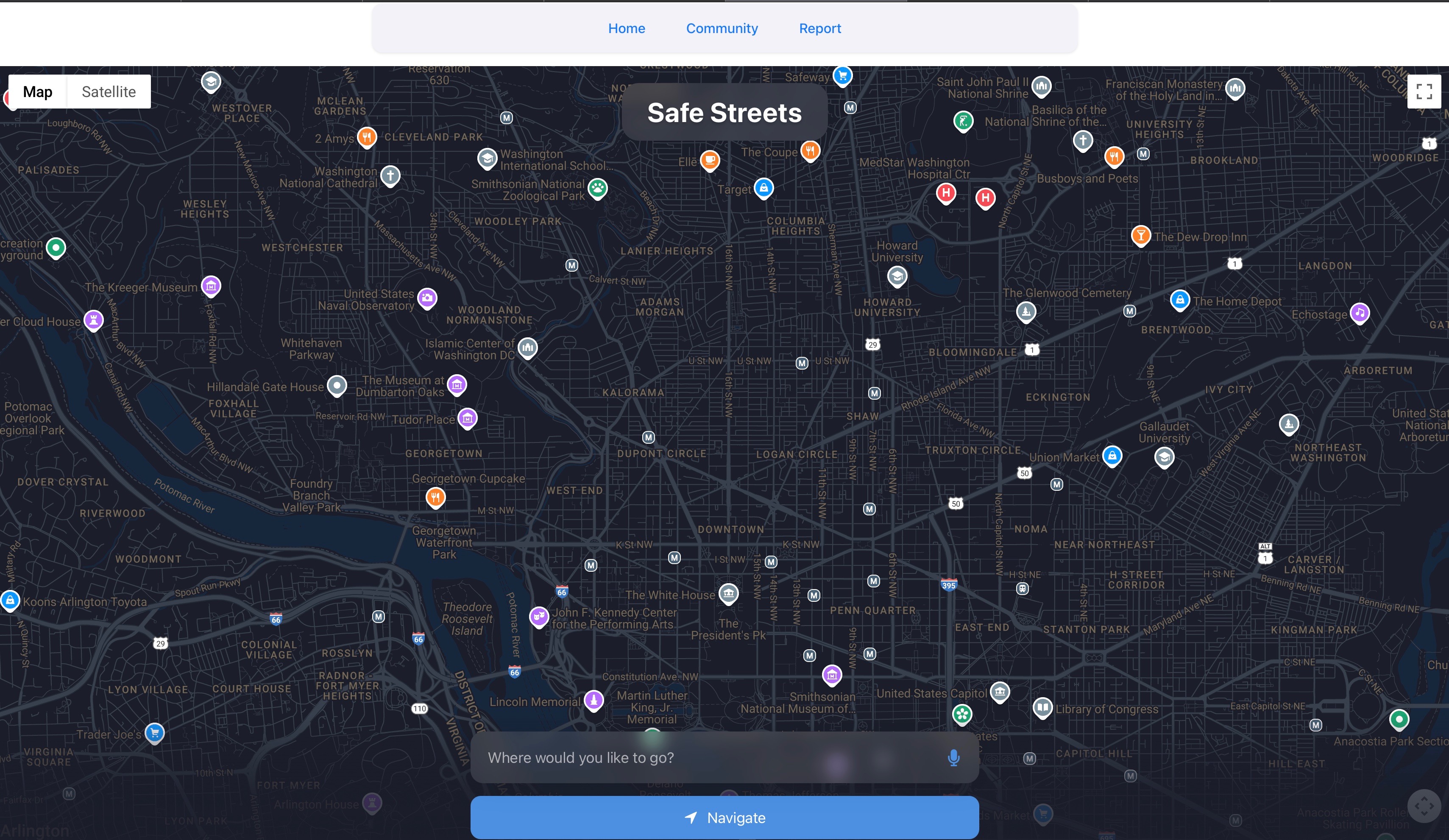
Landing Page with map and user location (mobile view)
-
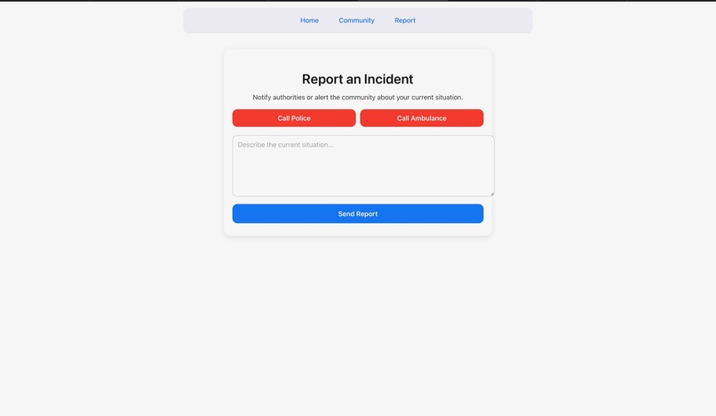
Report to the police/Rate a road!
-
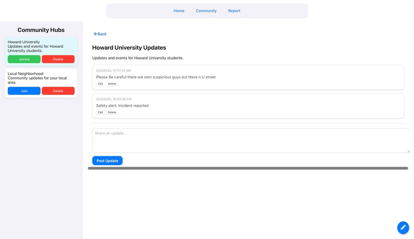
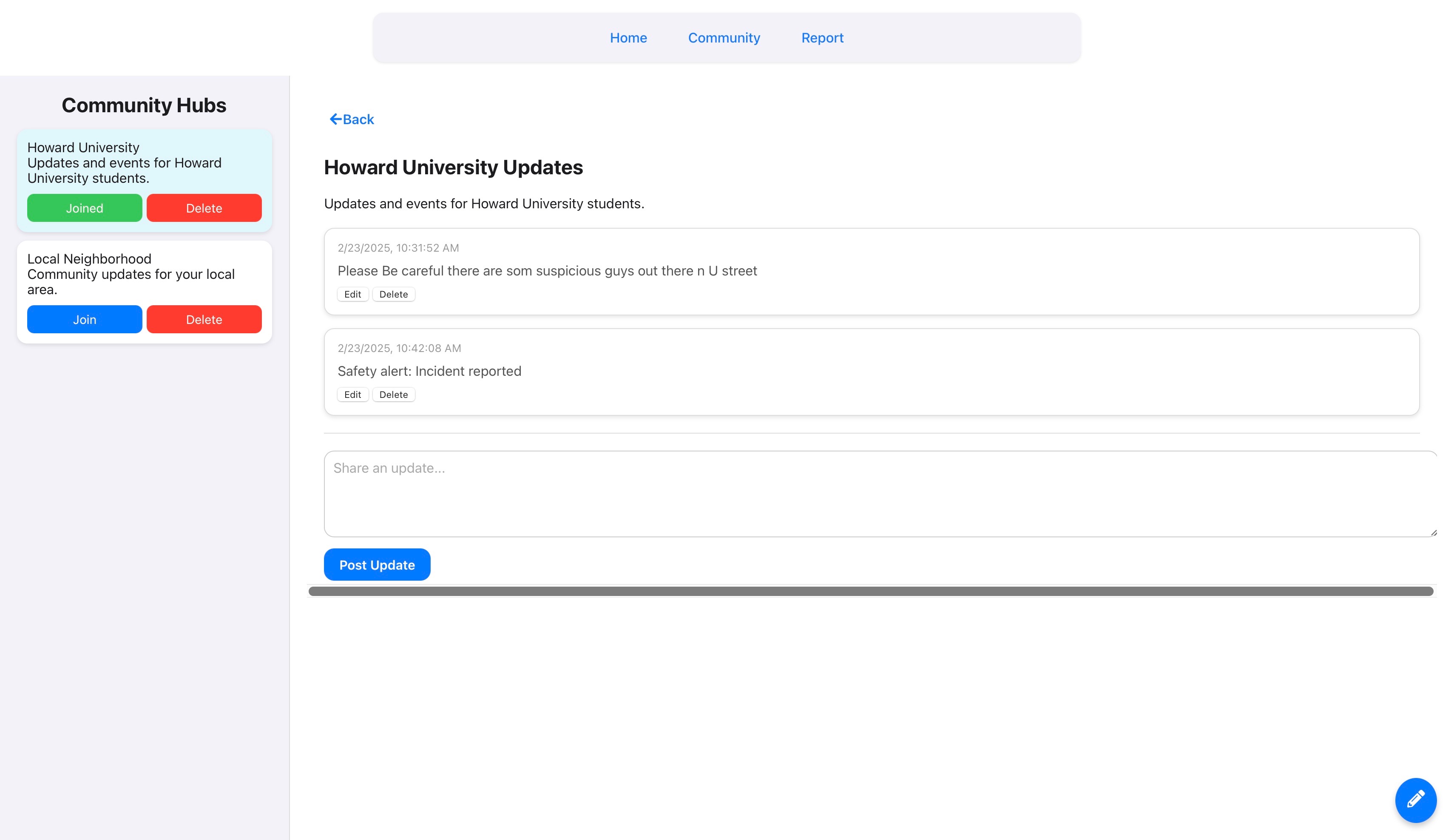
Community hubs - Users may join a hub to interact with fellow users (Desktop View) View)
-

Landing Page with map and user location (desktop view)

About the Project
🔥 Inspiration
Urban navigation is more than just speed—it’s about safety. Around Howard University, students have faced robberies, harassment, and unsafe encounters while walking at night. But this isn’t just a Howard problem—it’s a nationwide issue affecting travelers, students, and city dwellers alike.
Most navigation apps optimize for the fastest route, not the safest. SafeStreets was built to change that. It prioritizes security over speed, ensuring people reach their destinations safely, not just quickly.
🛠️ What It Does
SafeStreets allows users to:
- Enter their destination via text or voice.
- Generate the safest route using crime data, crowdsourced reports, and AI analysis.
- Receive real-time spoken guidance for hands-free navigation.
- View safety scores of different routes, helping users make informed decisions.
The mission is clear: Empower people with data to move safely through urban spaces.
🚀 What We Learned
- Mapping safety is difficult—crime data is inconsistent, making real-time updates crucial.
- Text-to-speech integration matters—clear verbal guidance enhances accessibility.
- Usability vs. complexity—balancing data accuracy while keeping the experience seamless.
🏆 Challenges We Faced
- Mapping Safe Streets – Representing safety data accurately on a Google Maps interface was a major challenge. Getting the safest path to display properly required significant backend and frontend adjustments.
- Text-to-Speech (TTS) Issues – Converting route summaries into natural-sounding speech wasn't straightforward. Debugging and improving TTS responsiveness was key.
- Reliable Data Sources – Finding consistent, structured crime data to determine safe vs. unsafe areas required filtering multiple sources and using AI to refine scores.
- Live Safety Scoring – Calculating safety scores dynamically based on crime patterns and user reports while keeping the app fast and responsive.
🌍 The Future
SafeStreets starts with Howard University, but its impact extends far beyond campus.
Future improvements include:
- Scaling to other urban communities—bringing SafeStreets to more cities nationwide.
- Crowdsourced safety ratings—allowing users to report safety concerns in real time.
- Emergency alerts & live reporting—integrating features to warn users of sudden dangers.
- AI-powered route adjustments—dynamically rerouting based on real-time safety data.
The streets aren’t always safe—but with SafeStreets, we can make them safer—one route at a time.
Built With
- express.js
- google-maps
- llama-2.0
- node.js
- react
- webkit-speech-recognition

Log in or sign up for Devpost to join the conversation.