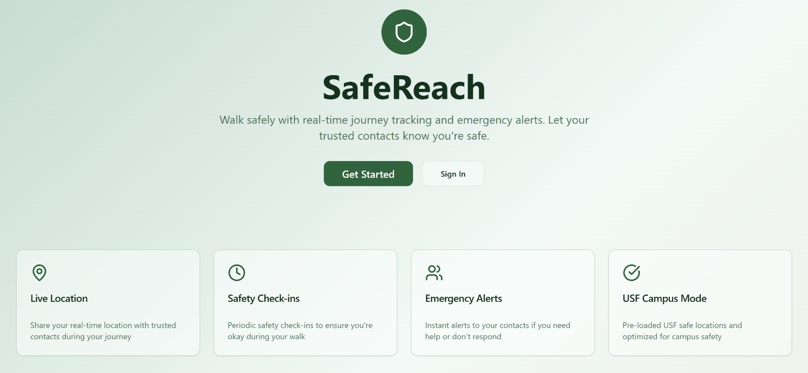
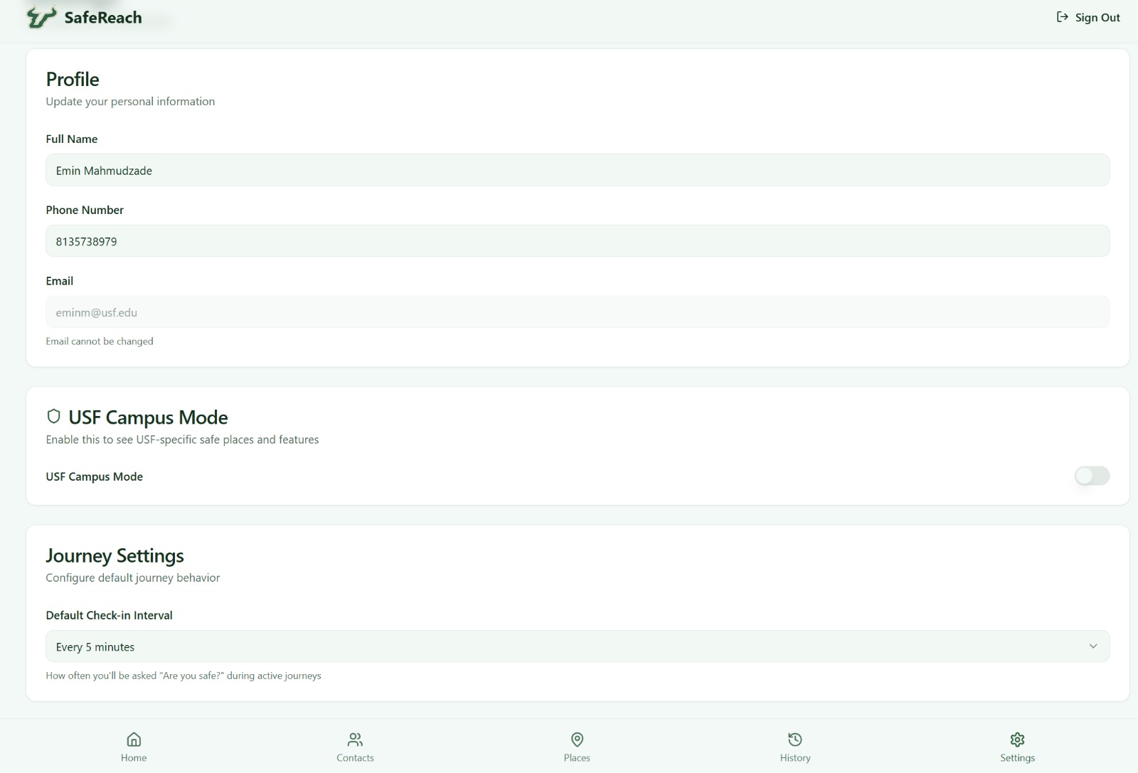
SafeReach was inspired by a simple, real need: students often walk around campus late at night, and many routes feel unsafe, poorly lit, or confusing. We wanted to create something that helps students feel more secure moving around campus, while also giving them awareness of their surroundings and quick access to help if needed.
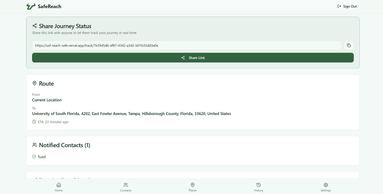
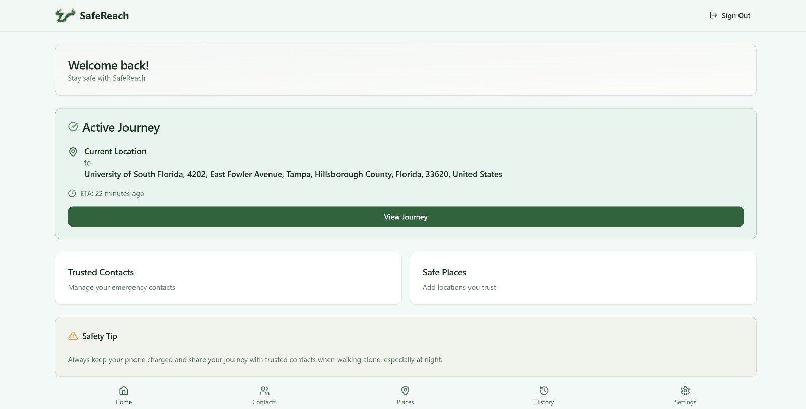
The app provides live walking routes, safety alerts submitted by the community, safe buildings with verified operating hours, a heatmap of recent activity, and real-time location sharing with trusted contacts. The goal was to make the experience simple — just pick a destination, follow a safe route, and let your contacts know you’re okay.
We built SafeReach using React, TypeScript, Leaflet for mapping, Firebase for user data, and Mapbox for walking-mode routing. Setting up the map and routing took most of the effort. APIs frequently failed, returned no walking routes, or defaulted to car routing. At one point the app kept drawing straight lines because hidden fallback code overrode real routes. We also dealt with environment variable issues, broken route layers stacking on top of each other, and difficulty mapping pedestrian paths that weren’t well-defined in campus data. Despite the rough parts, solving these issues made the project much stronger.
We’re proud that, within the limited time, we delivered a working safety tool with clean UI, real-time routing, live tracking, and a functional safety reporting system. We learned how challenging real-time map systems really are — especially when dealing with walking navigation, token handling, and merging multiple map layers while keeping the interface user-friendly.
Next, we want to add push notifications for nearby incidents, integrate official alerts from campus police, build smarter risk scoring for different routes, and turn SafeReach into a mobile app so students can use it anywhere on campus.

Log in or sign up for Devpost to join the conversation.