Inspiration
Our inspiration or main goal is to make traveling by car safetier and lower the incidents that occur every day. As we can actually decrease the amount of casualties.
What it does
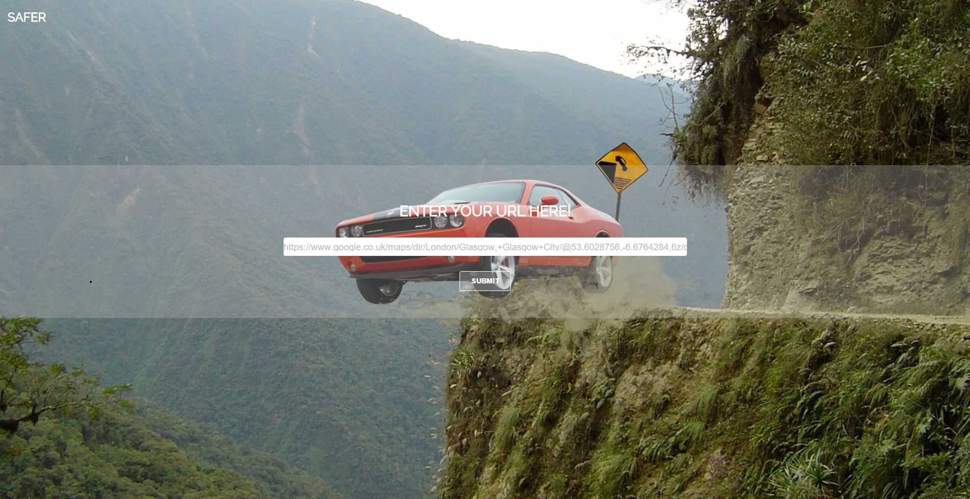
We thought it would be a great idea to add a new feature to google maps, based on the type of route you want to travel on. There is shortest path, fastest path but there is no safest path. So we created an application to give you choice of safest and most dangerous route to travel on.
How we built it
We use Google's maps API and CDL API which contains data of over 1.6 million entries, of all incidents with police presence on the territory of the United Kingdom since 1973. It includes number of hurt people, how bad they are hurt, the reason of the accident, and many other data on which basis we created a very accurate algorithm that splits that data in 3 categories. Slight incidents, Serious incidents and Fatal accidents. Then we extract the URL for a route lets say from point A to B in Google maps, we put it in our app. Then it runs the algorithm finds the safest path between these points, after that it draws it in a static google map in our app (we could have made it navigate you, but Google's navigation API is private and it has paid license). It then shows you statistics of how dangerous actually this road is.
Challenges we ran into
We had hard time figuring out the algorithm, we also ran in to a bug in our server so when we were near end our PHP just broke down so we had to re-write in python.
Accomplishments that we're proud of
We worked as a team, we had some fun and we actually built something that makes sense and can be useful.
What we learned
How to deal with problems on the goal and improvise.


Log in or sign up for Devpost to join the conversation.