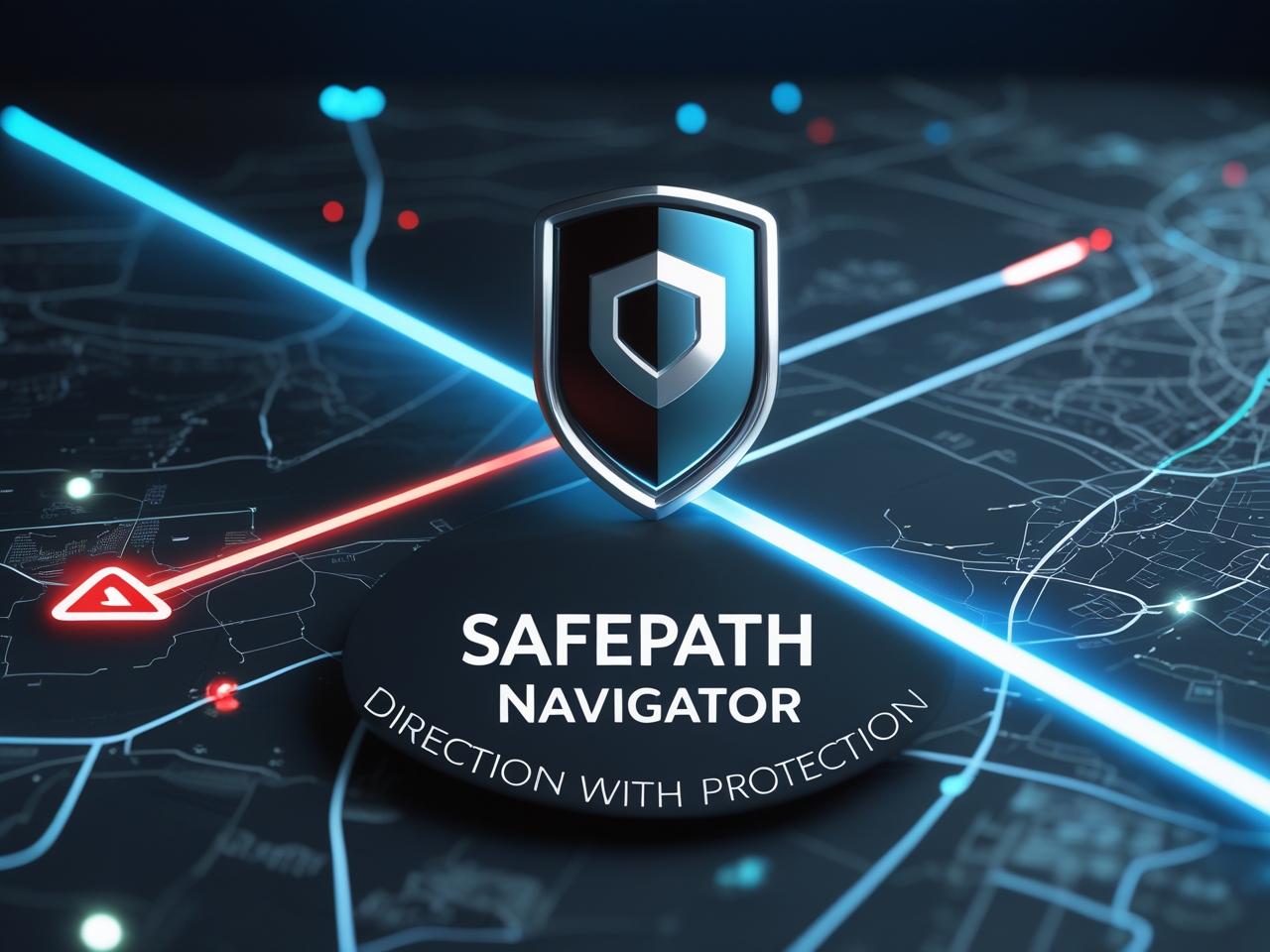
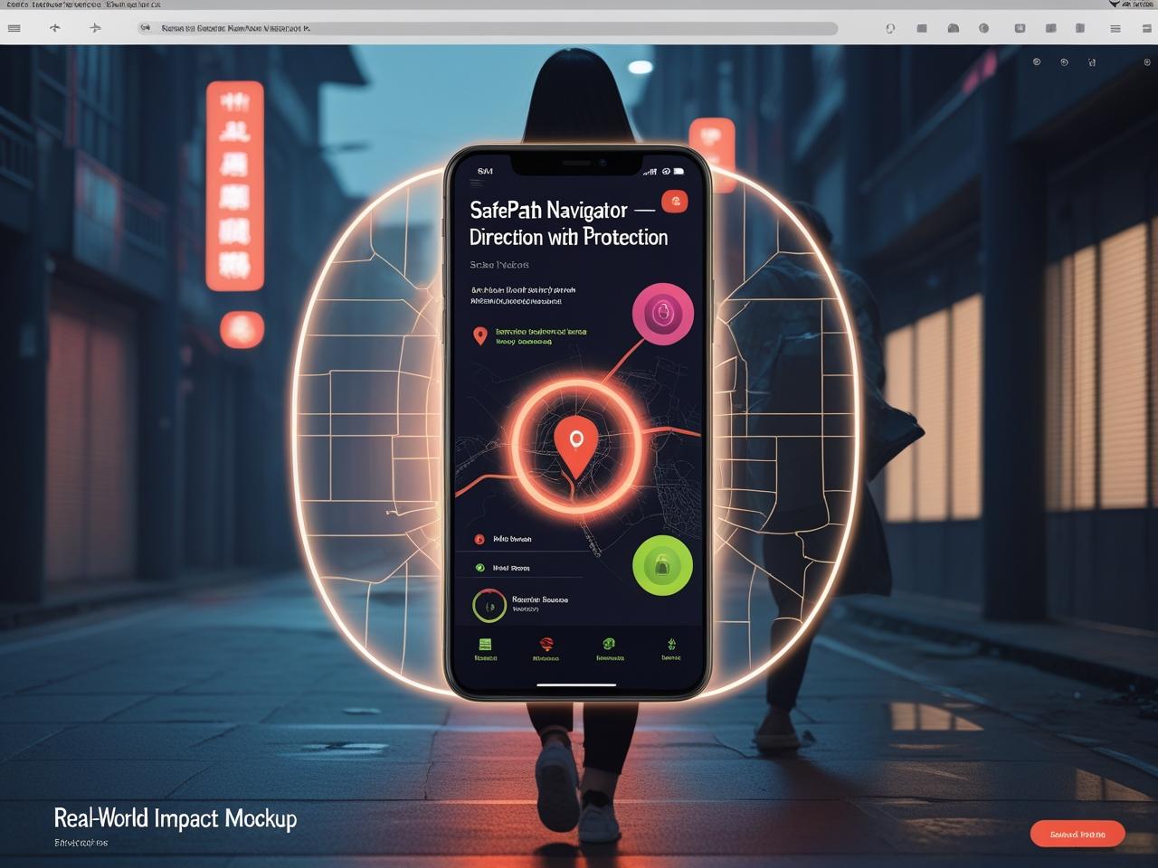
Inspiration
In today’s world, rising urban crimes, abductions, and late-night safety risks prevent people—especially women, students, and families—from moving freely. While digital maps show us the way, it don’t protect us from danger. As a physicist and safety strategist, I imagined something powerful & protective. SafePath Navigator is a powerful revelotizing concept that overlays real-time safety intelligence onto Google Maps—so every direction becomes a safe decision.
- Inspired by rising street-level crime and safety fears
- Designed to protect lives, not just guide them
- Reimagines maps as guardians, not just navigators
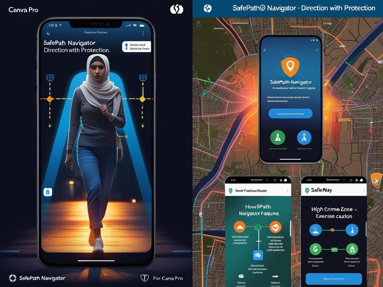
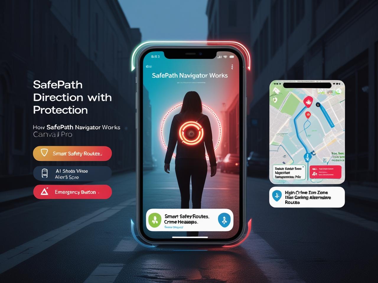
What It Does
SafePath Navigator transforms ordinary navigation into a proactive safety experience using real-time data and predictive intelligence.
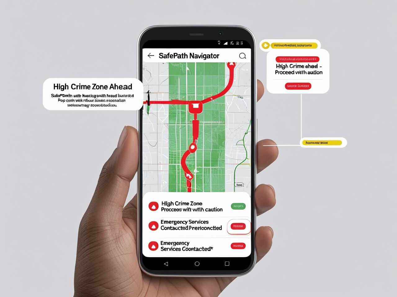
- Suggests the safest route using crime-aware AI
- Alerts users of nearby incidents from 911 feeds and public reports
- Provides safety scores for every street or neighbourhood
- Visualizes safe zones that change with time and risk levels
- Let's families, guardians, and institutions monitor loved ones
- Offers a one-tap SOS with automatic location-sharing
How It’s Built (Prototype Phase)
This project is currently in the prototyping and wireframing stage, built with cutting-edge tools and real-time APIs:
- Google Maps Platform APIs: Directions, Places, JavaScript
- Python engine for predictive risk analysis
- Firebase for instant safety notifications
- Designed using Figma and Android Studio
- Scalable to smartwatches, AR HUDs, and wearable tech
- Future integrations with city safety APIs and crowd-sourced alerts
Challenges I Ran Into
Designing a safety-focused app involves more than code—it means navigating complex emotional, technical, and social challenges.
- Aggregating live crime data across multiple regions
- Balancing performance with real-time data processing
- Building UI that informs without causing fear
- Ensuring the app respects privacy while offering protection
Accomplishments I’m Proud Of
I created SafePath Navigator not as a pitch, but as a personal mission—a tool I’d want for my own family and friends.
- Built a life-saving concept from scratch
- Designed an AI-powered system that adapts to real-time risk
- Garnered interest from developers, safety advocates, and educators
- Developed a roadmap ready for testing in vulnerable communities
What I Learned
Safety is not a luxury—it’s a fundamental need. And when we combine empathy with intelligence, technology can transform lives.
- Navigation without protection is a silent risk
- Emotional design multiplies the impact of smart apps
- The future of maps must be protective, not just directive
- AI is most powerful when used to safeguard humanity
What’s Next
We’re just getting started. SafePath will grow with the right support—powered by partnership, passion, and real-world testing.
- Collaborate with Google Maps and public safety departments
- Launch a working beta with AI-powered crime prediction
- Run pilot programs in universities, public transport systems, and women’s shelters
- Integrate more localized data from police, hospitals, and rescue networks
- Scale globally with region-specific intelligence
Will be Built With
- Google Maps API– Directions, Places, JavaScript
- Python – Predictive safety score engine
- Firebase – Real-time alerting system
- Figma– UI wireframes
- Android Studio – App design and compatibility
Built With
- ai
- alerts)
- api)
- engine)
- figma
- firebase
- google-maps-api-(directions-api
- javascript
- maps
- places-api
- python


Log in or sign up for Devpost to join the conversation.