
Inspiration: We were inspired by what Houston goes through every time the weather turns. Floods have caught families off guard again and again, and in 2024 Hurricane Beryl showed how quickly a storm can disrupt daily life, with people left making stressful decisions about whether to stay or go. In moments like these, alerts are hard to read, roads are uncertain, and nobody has time to figure out a plan from scratch. We wanted to build something calm and clear that helps people prepare early and get to safety, so they aren’t scrambling when the water rises.
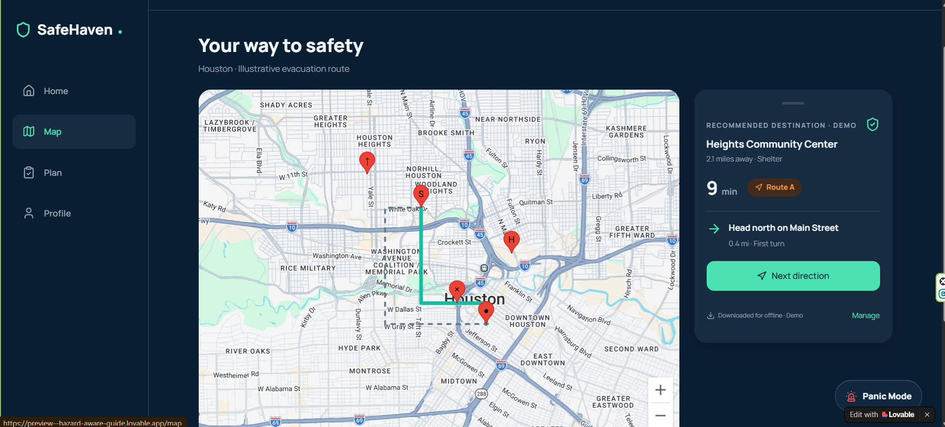
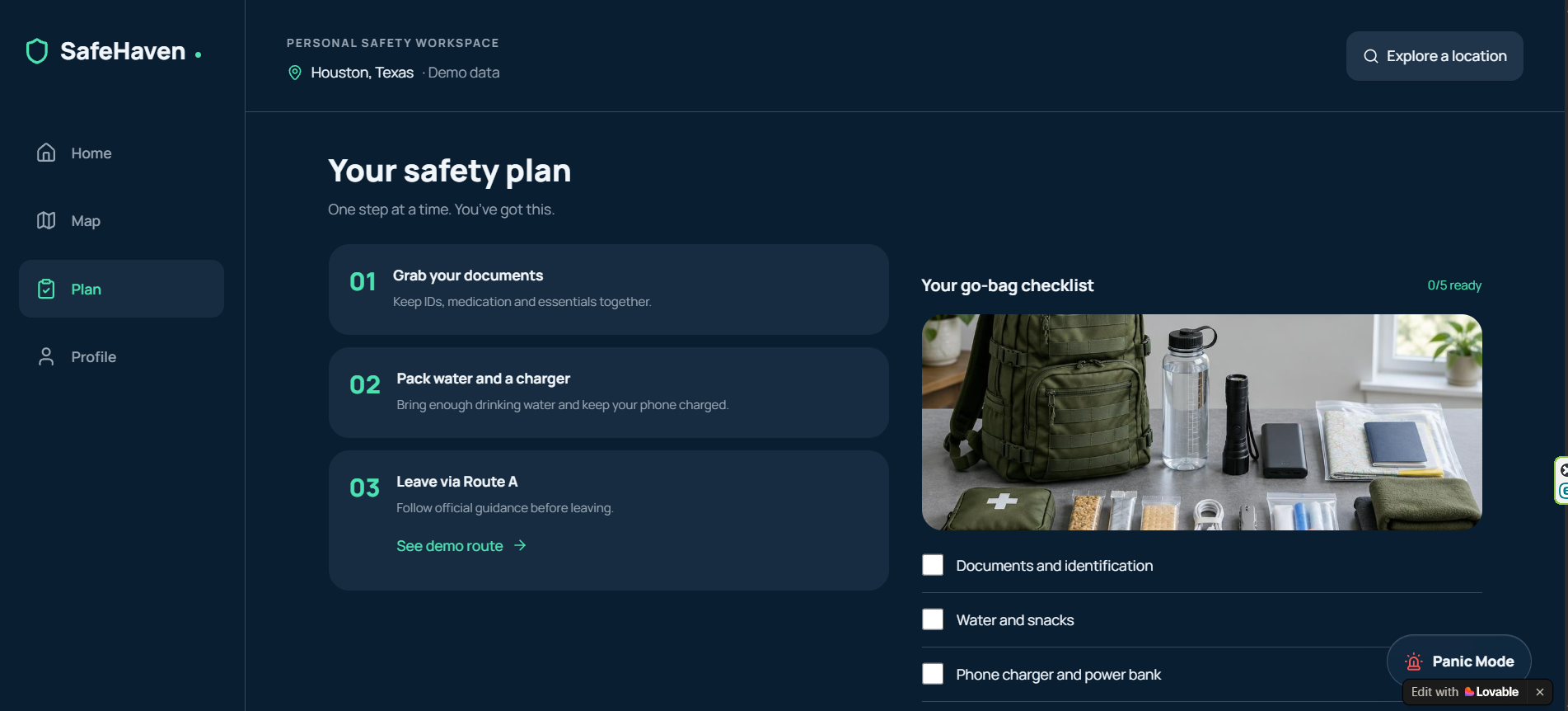
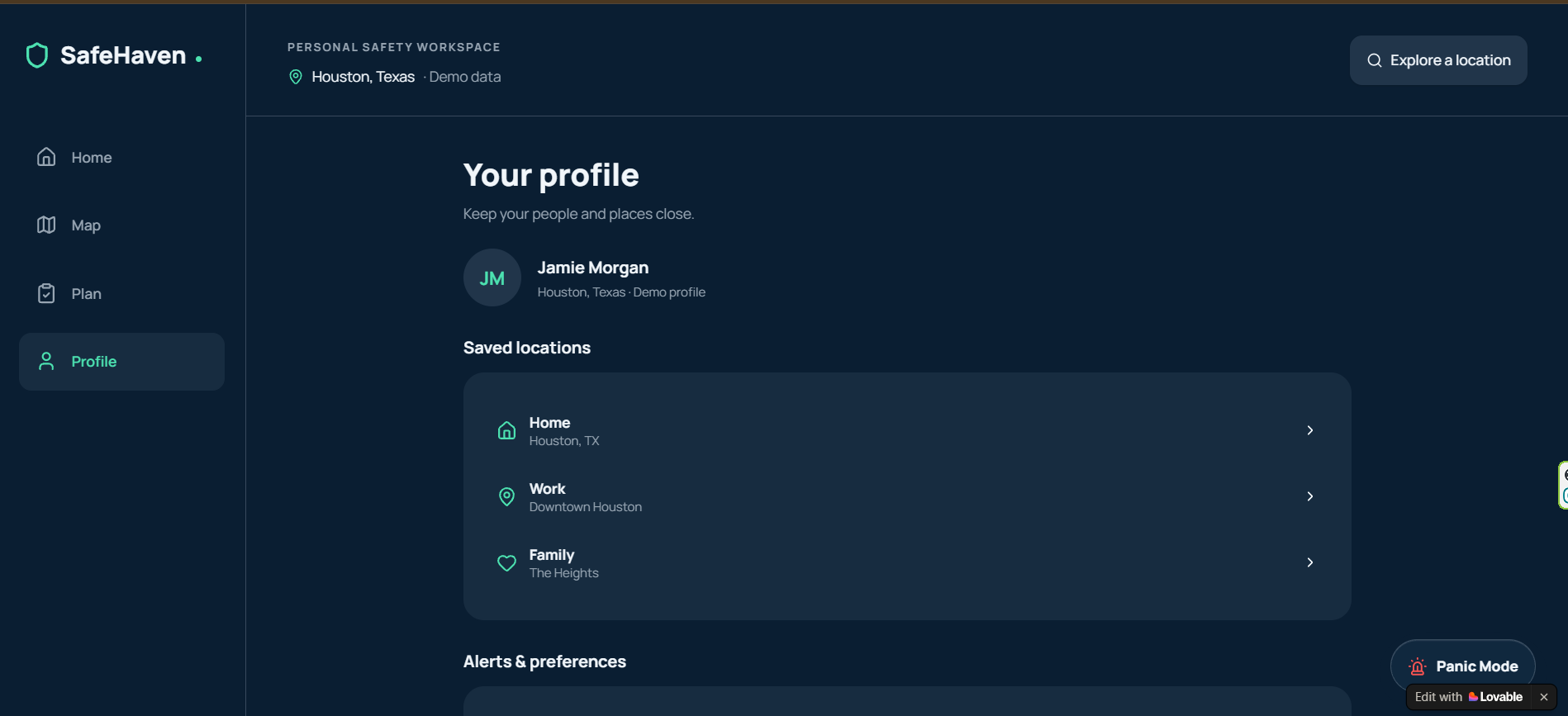
What it does: SafeHaven is a flood preparedness and evacuation app for Houston. It turns flood alerts into three simple things: A safety score for your location, with a plain label and a 72 hour outlook, an evacuation route to a nearby shelter, available offline, a safety plan with a step by step guide and a go bag checklist. It also has saved locations for home, work, and family, and a Panic Mode button for emergencies. Everything in this prototype runs on clearly labeled demo data.
How we built it: We learned how flood alerts are published, including the fact that many alerts have no map shape attached and must be matched to zones. We learned how a web API works, how to plan around a small team, and how to cut scope without losing the main idea. We also learned that a safety app has to be honest about its limits.
Challenges we ran into: Our biggest challenge was time. One of our four teammates, who was going to build the API and backend, never made it to the event, so we had to cut our plan from a full routing engine to a working prototype. None of us had used these APIs before, and we had to decide quickly what mattered most. We chose to finish a polished, honest demo instead of showing something half working.
Accomplishments that we're proud of: We shipped a complete, good looking prototype with four connected screens after losing a teammate
We designed it to be calm and clear for people under stress We were upfront about what is demo data and what is real We called the National Weather Service API successfully and confirmed that live flood polygons exist for our area
What we learned: We learned how flood alerts are published, including the fact that many alerts have no map shape attached and must be matched to zones. We learned how a web API works, how to plan around a small team, and how to cut scope without losing the main idea. We also learned that a safety app has to be honest about its limits.
What's next for SafeHaven: Connect live National Weather Service alerts and USGS river gauge readings
Check every route against live flood zones ourselves, instead of trusting a routing service to avoid water Add alerts on your phone when flooding appears near you or on your route Support more languages for Houston’s diverse communities Always support official guidance from the National Weather Service and Harris County, never replace it.
Built With
- apis
- python

Log in or sign up for Devpost to join the conversation.