🌍 Inspiration
In an era of increasing natural disasters and climate change, we witnessed how communities struggle to stay informed about real-time threats while keeping track of their loved ones' safety.
Traditional weather apps provide general forecasts, but they lack:
- Personalized location monitoring
- Real-time disaster tracking for the places that matter most
We were inspired to create a solution that combines live disaster data with personal location management, empowering users to proactively protect their families and communities.
🛡️ What It Does
SafeGuard is an interactive weather safety platform that provides:
🌀 Real-time Disaster Monitoring
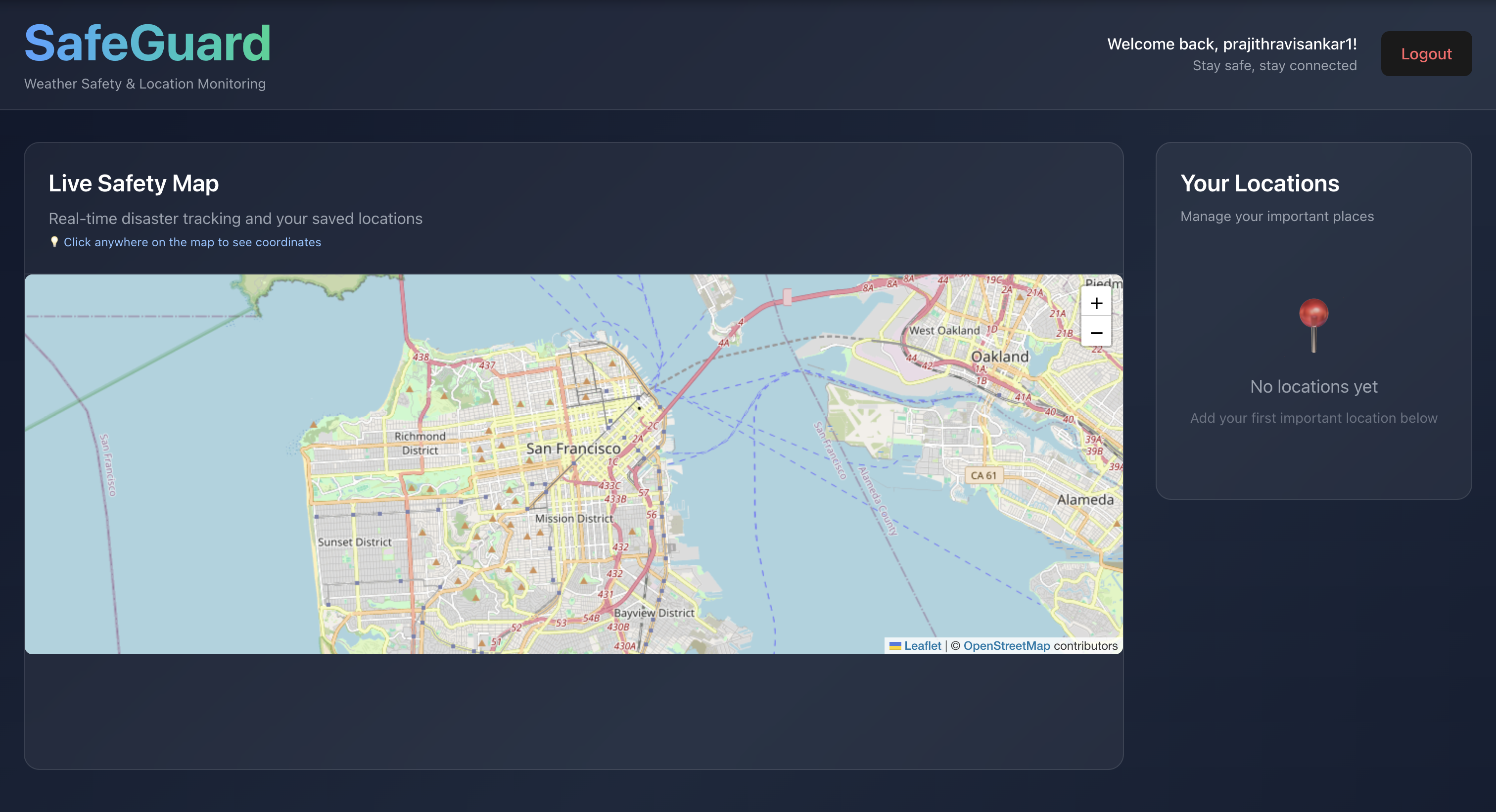
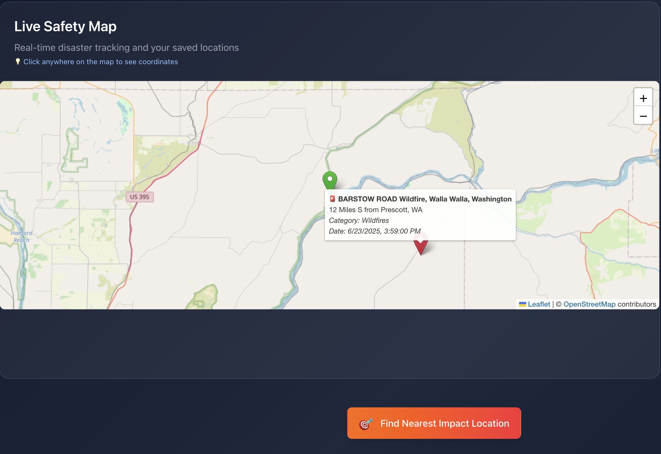
Live tracking of natural disasters, wildfires, storms, and other hazardous events using NASA's EONET API📍 Personal Location Management
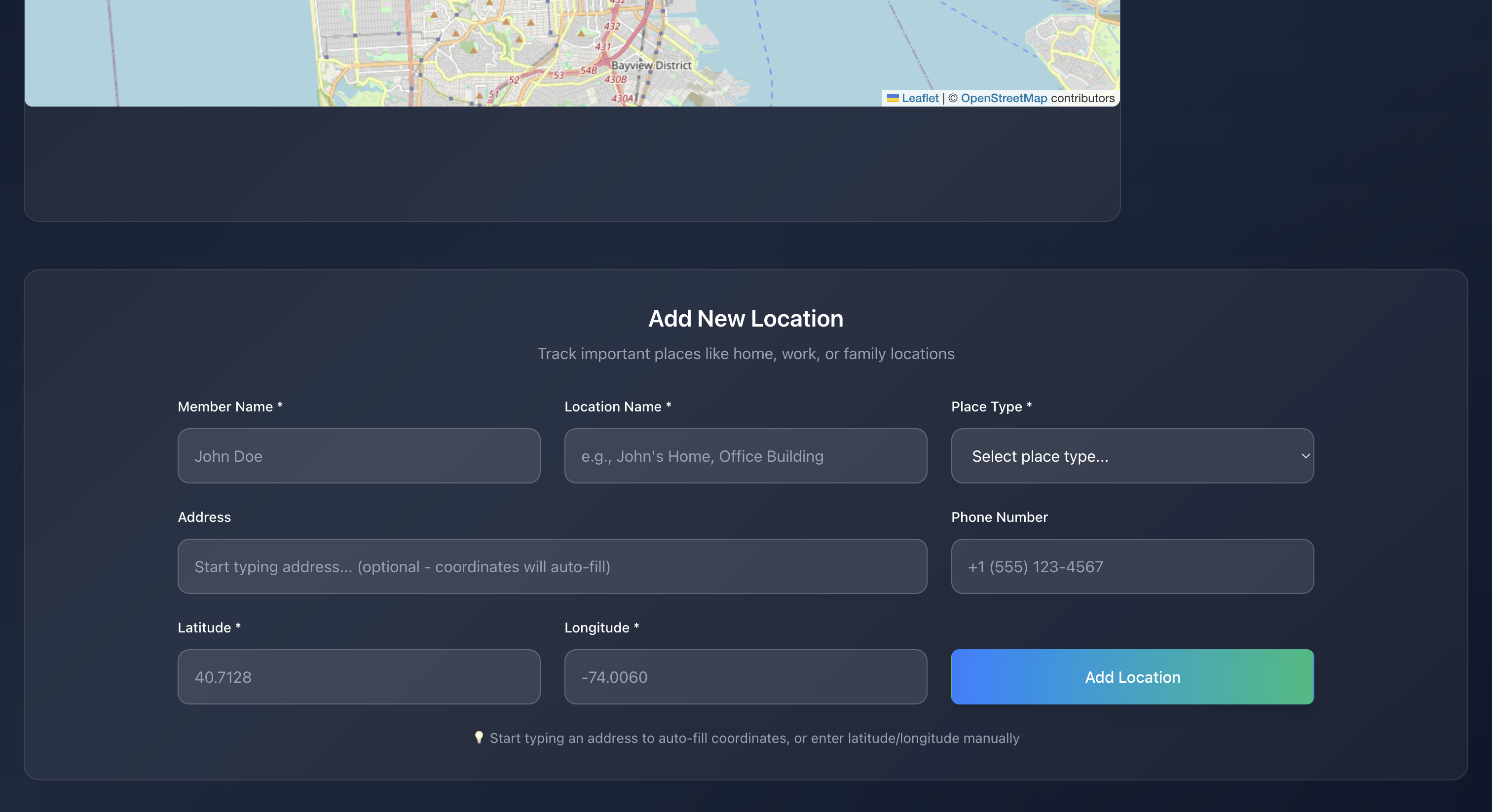
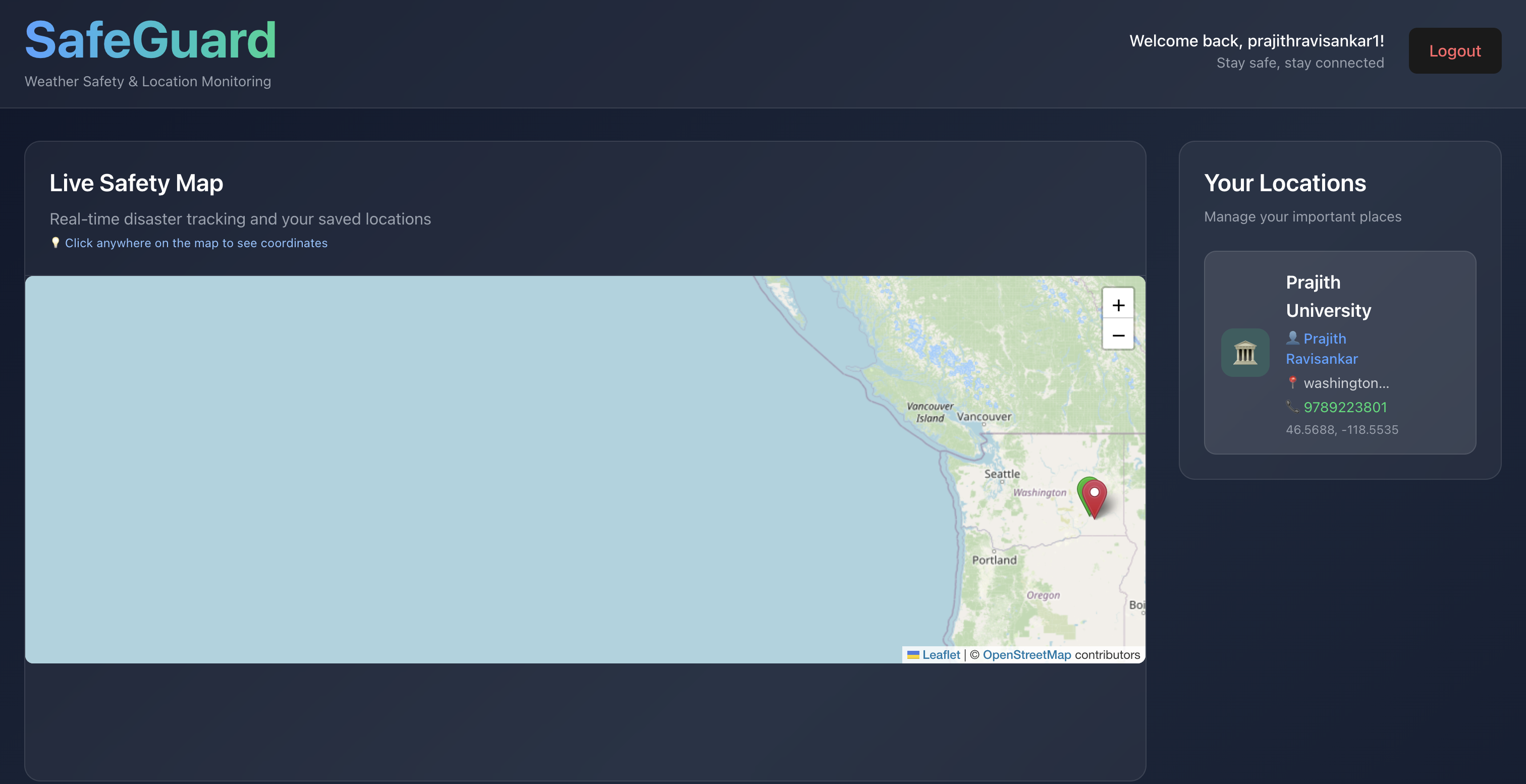
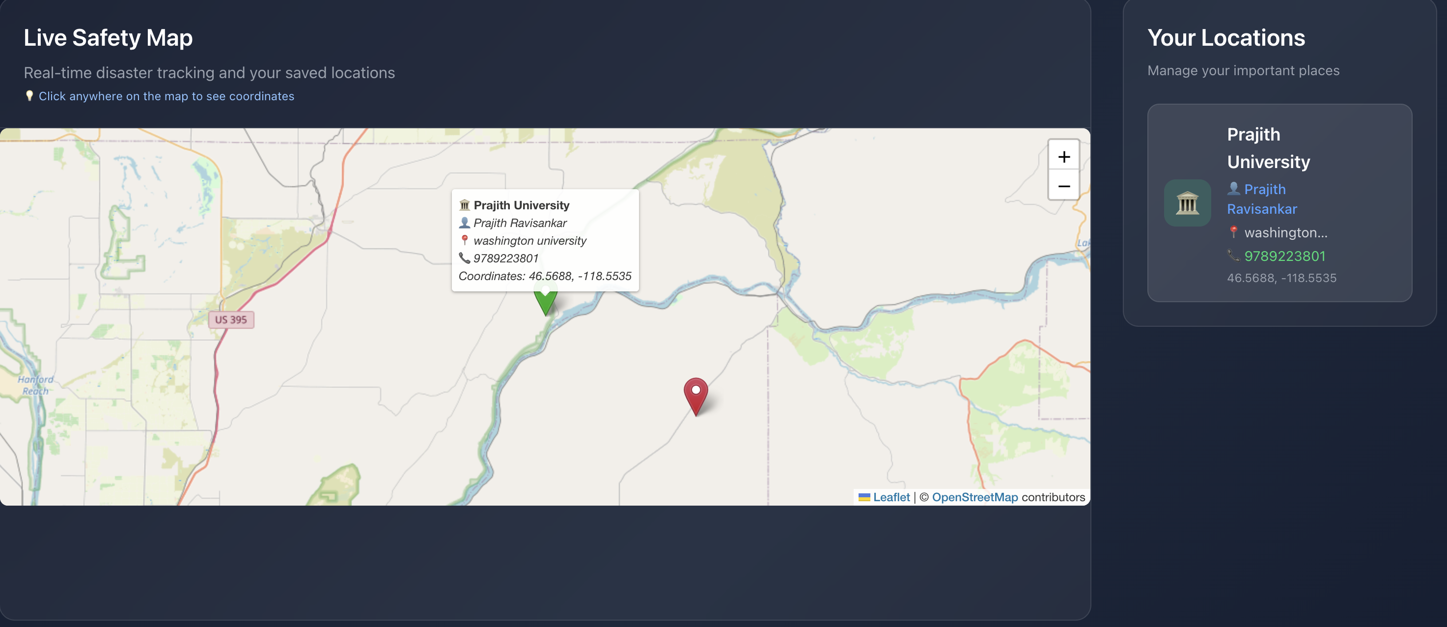
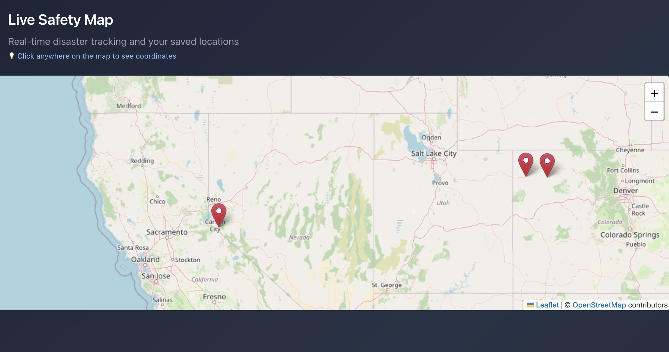
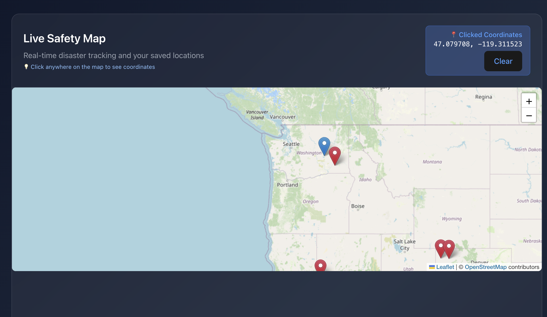
Save and monitor important locations (home, work, family members’ addresses) with custom names and contact information🗺️ Interactive Safety Mapping
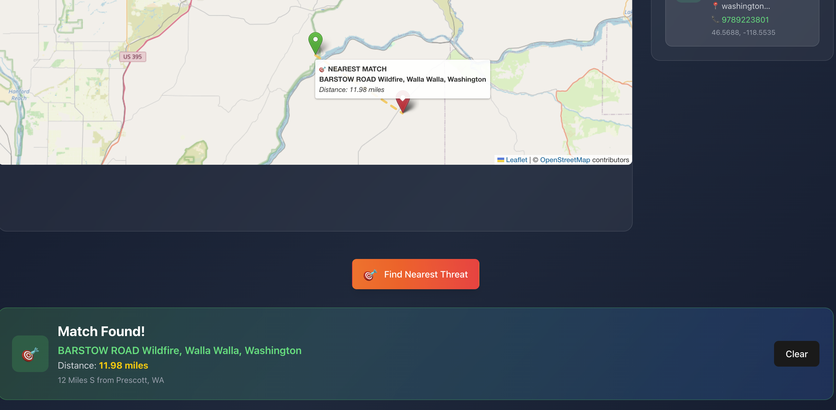
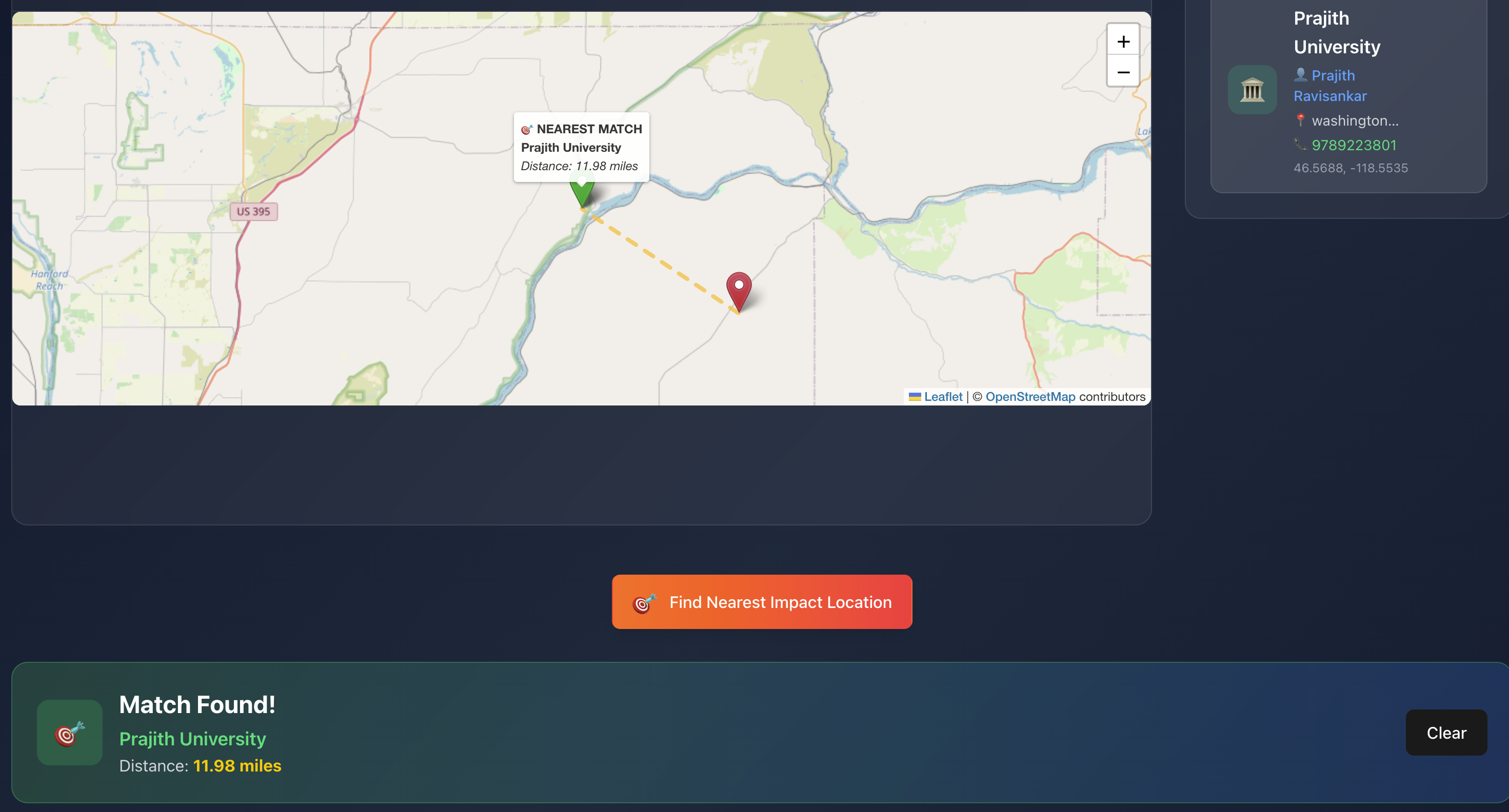
Visual representation of disasters and personal locations on an interactive map with weather overlay📏 Intelligent Proximity Search
Click any location to find the nearest threats (or safe zones within customizable radius distances – future work ongoing)📌 Coordinate Discovery
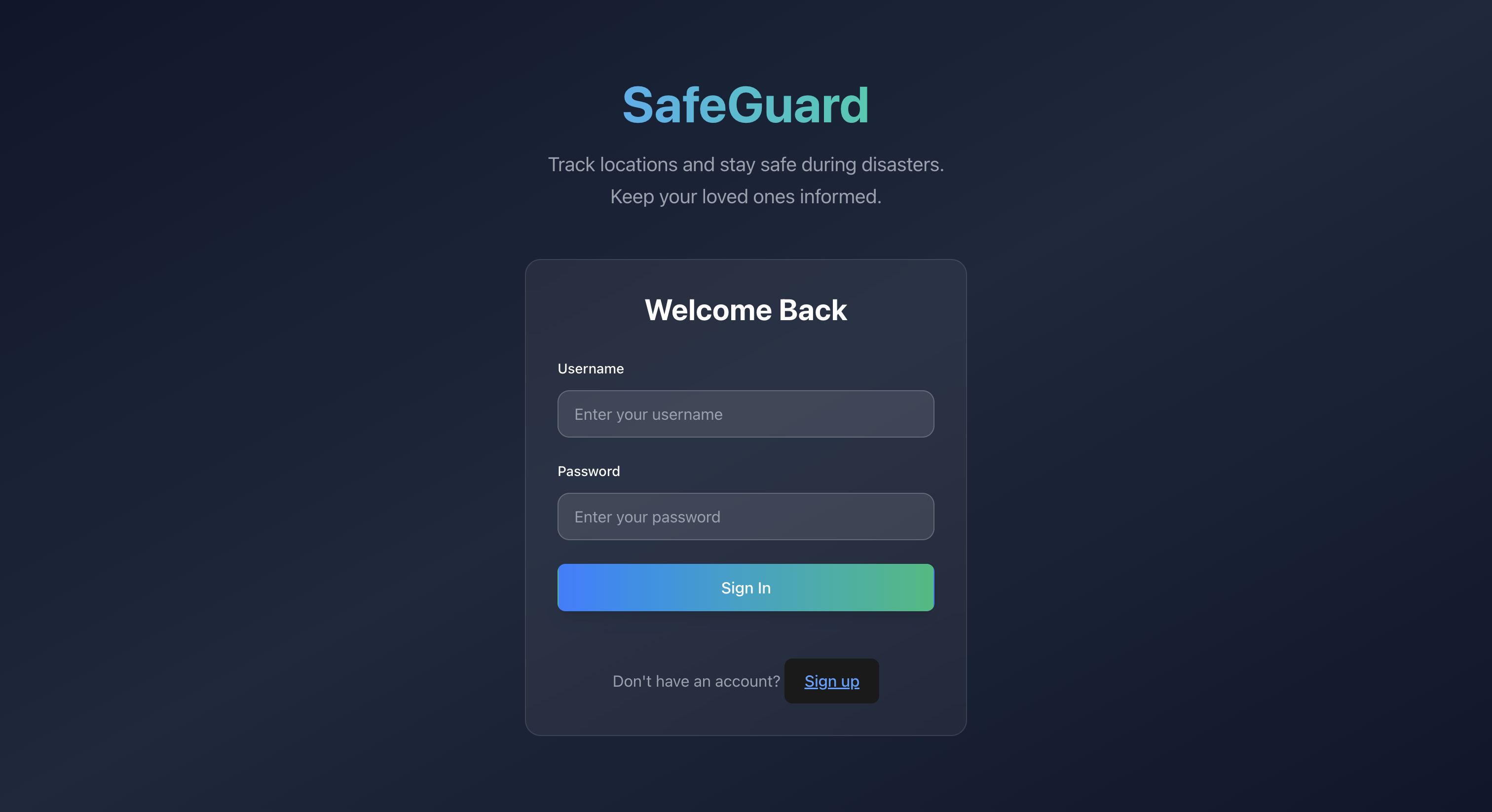
Click anywhere on the map to get precise GPS coordinates🔐 User Authentication
Secure personal location storage with individual user accounts📱 Responsive Design
Full desktop and mobile compatibility for safety monitoring on-the-go
🏗️ How We Built It
Frontend:
React.jswithVitefor fast developmentTailwind CSSfor modern responsive designLeaflet.jsfor interactive mapping
Backend:
Node.jswithExpress.jsserving RESTful APIs for authentication and location management
Data Sources:
NASA EONET: Real-time disaster dataOpenWeatherMap API: Weather overlays (pending implementation)OpenStreetMap: Base map tiles
Key Features:
- Real-time data fetching and caching
- Interactive map with custom markers and animations
- Haversine formula for accurate distance calculations
- Responsive grid layouts for all screen sizes
- Modular component structure
- Service layers for API logic and geospatial utilities
🚧 Challenges We Ran Into
API Integration Complexity
Parsing and normalizing diverse formats from NASA EONET with inconsistent coordinate systemsReal-time Performance
Optimizing map rendering with potentially hundreds of disaster markersResponsive Map Design
Scaling map elegantly from mobile to ultrawide screensGeographic Calculations
Accurate distance computations using the Haversine formulaState Management
Managing complex interactions: map clicks, marker selections, search animations, etc.Cross-browser Compatibility
Ensuring consistent behavior across browsers and devices
🏆 Accomplishments That We're Proud Of
Real-world Impact
Built a genuinely useful tool addressing real safety concernsTechnical Excellence
Smooth integration of multiple APIs with real-time processingUser Experience
Intuitive interface making complex geodata accessiblePerformance Optimization
Smooth map interactions even with large data setsResponsive Innovation
Full-width design that works on any screen sizeFeature Completeness
Production-ready app with login, data persistence, and full monitoring tools
📚 What We Learned
Geographic Data Processing
Coordinates, distance calculations, geospatial normalizationReal-time API Management
Efficient fetching, caching, and updating of live dataInteractive Mapping
AdvancedLeaflet.jsusage for custom markers and eventsResponsive Design at Scale
Truly adaptive layouts for extreme screen size variationsUser-Centered Safety Design
Clear visual hierarchy and intuitive interactions for emergenciesFull-Stack Integration
Strengthened connection between frontend logic and backend systems
🚀 What’s Next for SafeGuard
- 📲 Native iOS and Android app with push alerts
- 📊 Predictive analytics for disaster path forecasting
- 🧑🤝🧑 Neighborhood safety networks with real-time user updates
- ☎️ Emergency contact auto-alerts
- 📡 Offline maps and emergency data support
- 🏛️ Integration with local emergency services
- 🌐 IoT sensor compatibility for hyperlocal monitoring
- 🤖 AI-based risk assessment and personalized safety tips
Built With
- css
- express.js
- html5
- node.js
- react
- restful-api
- tailwind
- vite


Log in or sign up for Devpost to join the conversation.