Inspiration
We were inspired by the need to make cycling safer in our community. Seeing the real-life dangers cyclists face every day, from potholes to poor signage, drove us to create a practical, real-time solution.
What it does
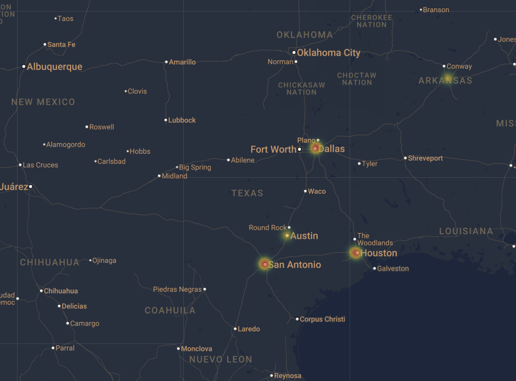
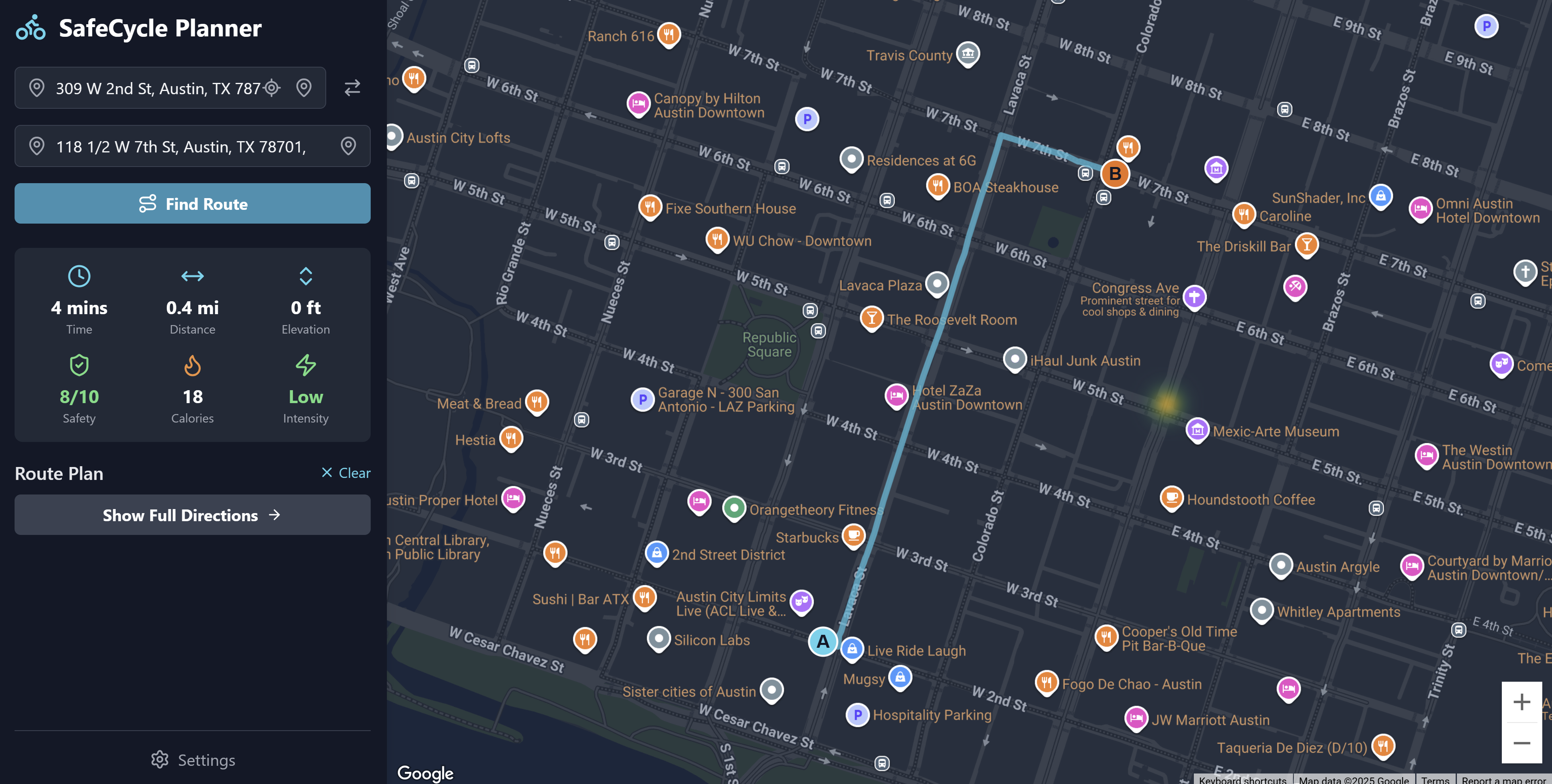
SafeCycle is a hazard-tracking web application that allows cyclists to easily view location-based dangers like road obstacles, construction zones, and dangerous intersections. It provides a database-driven map to help riders plan safer routes.
How we built it
We used Google's Vertex AI, Gemini's API, and Google Maps API to create easy to digest maps.
Challenges we ran into
The primary challenge was data accuracy and verification. We needed a way to manage the potential for false data or outdated reports.
Accomplishments that we're proud of
We're proud of our safety rating, with our hazard heatmaps and easy to use UI.
What we learned
We learned how to use Google's AI Vertex and Gemini API alongside reading from a dataset which we provided.
What's next for SafeCycle-Tidal2025
Upscaling to be used by your average consumer across the US

Log in or sign up for Devpost to join the conversation.