Inspiration
Allow travellers to determine a safe time to travel, using a data set for global earthquakes in the past 5 years.
What it does
Predicts level of safety of a city during a given month and if not safe, recommends a safer month. Our recommendation takes into account the number of earthquakes happened in a given month in the past 5 years (2013 - 2017 data), the magnitude of each earthquake, how close the chosen month is to a safer month.
How I built it
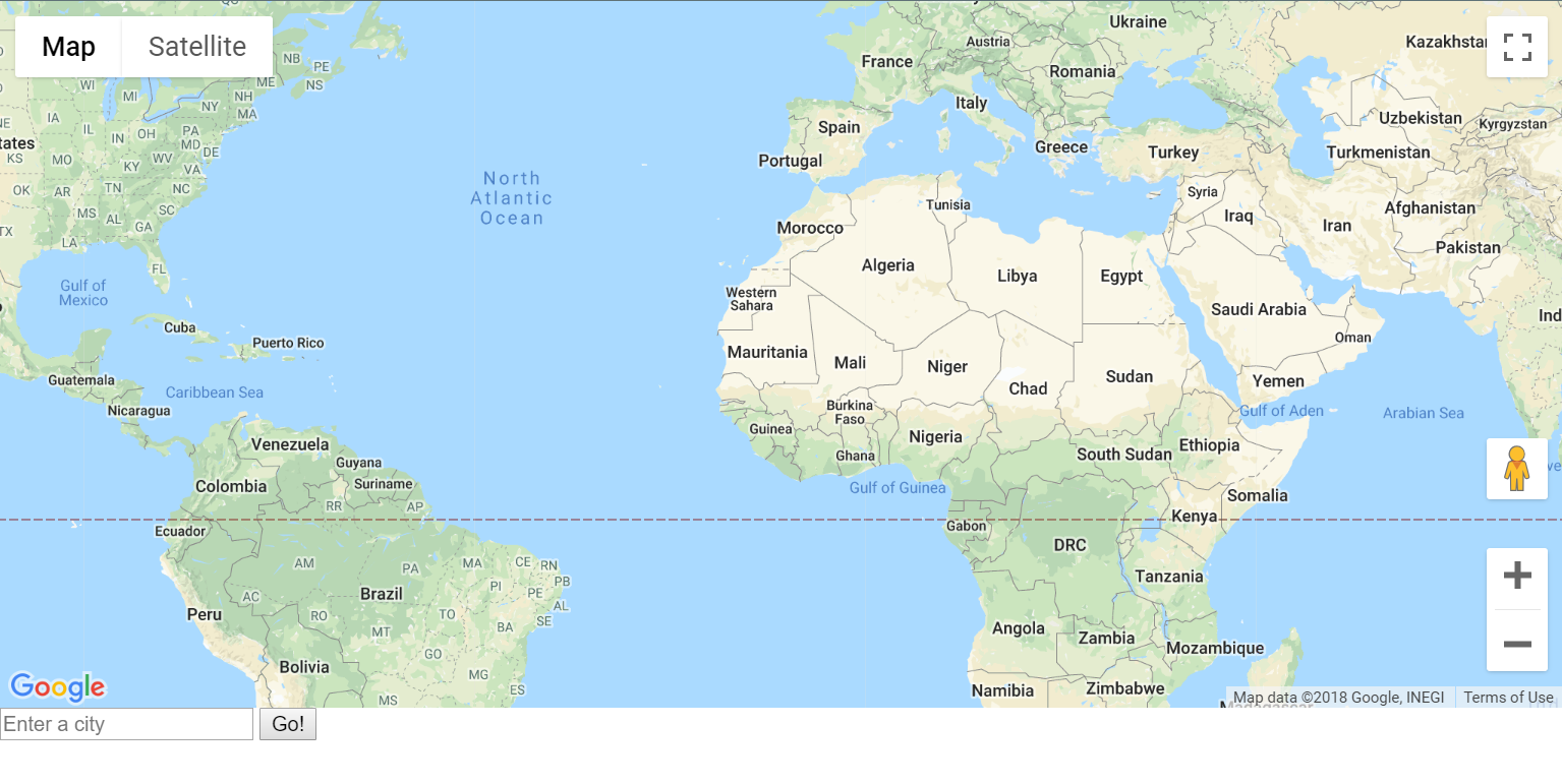
Chrome Dev Tools, Google Maps API, JavaScript, HTML, Open Street Map
Challenges I ran into
The difficulty with API and learning JavaScript
What we're proud of
A finished and useful project! Using APIs for the first time
What's next for Safe Travels
Integrating more natural disasters, creating a better front-end.
Built With
- google-maps
- html
- https://earthquake.usgs.gov
- javascript
Log in or sign up for Devpost to join the conversation.