Inspiration
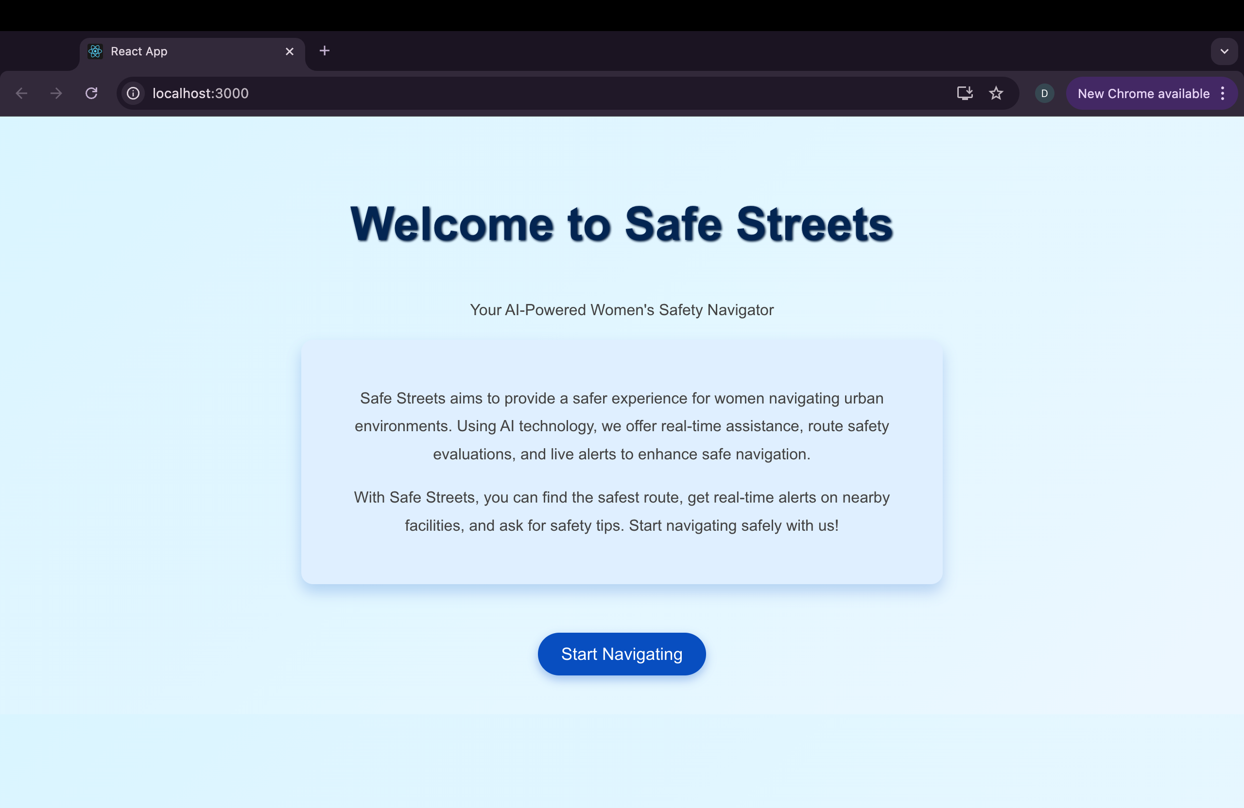
The idea for Safe Streets came to me after multiple conversations with my friends and family about the everyday challenges women face while navigating urban areas. Whether it's walking home late at night or taking public transportation, the anxiety around safety is always present. I realized that technology could do much more to address this issue and help guide women through safer paths in real-time. I wanted to build something that not only offers directions but considers safety as the highest priority, empowering users to feel confident when moving through cities.
What I Learned
This project taught me a lot about the intersection of urban safety, technology, and AI. I had to dive deep into how safety data is collected, processed, and visualized to make the app genuinely useful. I also learned the importance of real-time data in decision-making processes—this is crucial when suggesting safer routes based on the current situation on the streets. Another key learning was the ethical responsibility of developing such an app; ensuring that privacy and data protection were upheld was a priority.
How I Built It
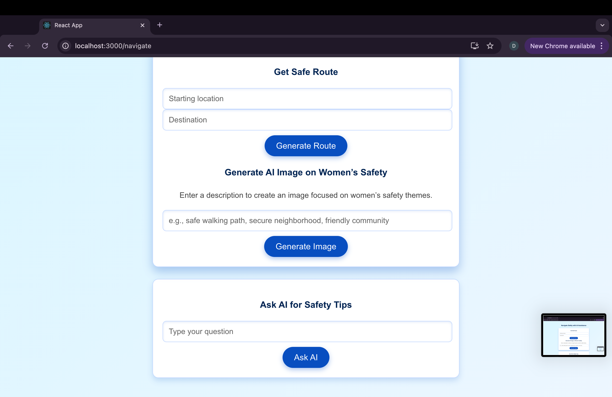
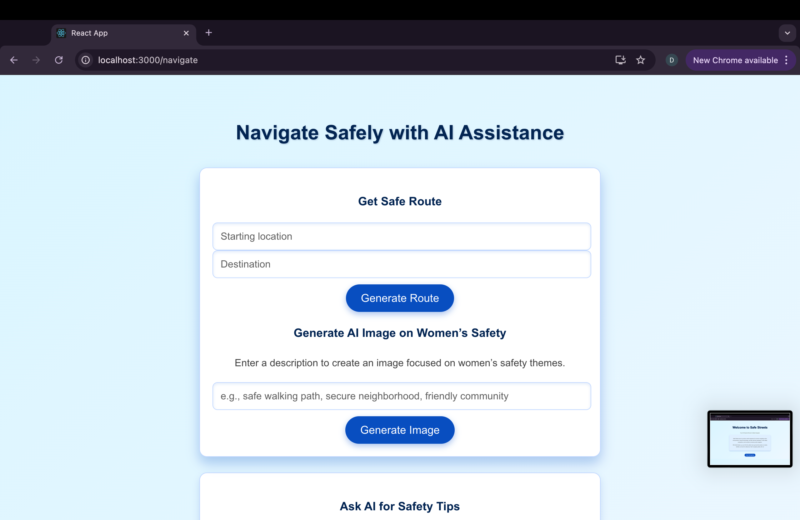
I began with the idea of integrating safety heatmaps with real-time route suggestions. The app leverages GPT-4 for natural language processing, offering not just routes but live advice in urgent situations. Here’s how I broke down the project:
Safety Heatmaps: I used public datasets to create heatmaps highlighting areas that are considered unsafe based on crime reports, lighting, and foot traffic. Route Suggestions: The core feature was building an algorithm that suggests the safest route instead of just the fastest. I used OpenRouteService for the routing engine, which I customized to prioritize safer streets. Live Assistance via GPT-4: To make the experience more interactive, GPT-4 provides live advice in critical situations. Users can ask for safety tips, report incidents, or even request immediate help from authorities. Real-Time Alerts: The app collects real-time data, such as nearby police stations, public facilities, and crowd density, to adjust route suggestions dynamically.
Challenges I Faced
This project wasn’t without its challenges. One of the biggest hurdles was data accuracy. Crime and safety data is often inconsistent across regions, and many areas lack proper reporting. Ensuring that the heatmaps were reliable enough to guide people was difficult.
Another challenge was optimizing the route suggestions. Safety had to be prioritized, but that could sometimes conflict with convenience. It was tricky to strike a balance between directing users through safe areas while ensuring they weren’t going out of their way unnecessarily.
Lastly, integrating GPT-4 to provide helpful, context-aware advice was a unique challenge. I had to make sure the responses were timely and relevant, particularly in urgent situations.
Built With
- fastapi
- google-maps
- gpt-4
- openrouteservice-api
- python
- react


Log in or sign up for Devpost to join the conversation.