Inspiration
As newcomers to Montreal, the confusing road design and driving during rush hour made for a frustrating experience, inspiring us to create something to help alleviate the pressure on drivers by informing them of areas they should probably pay more attention to.
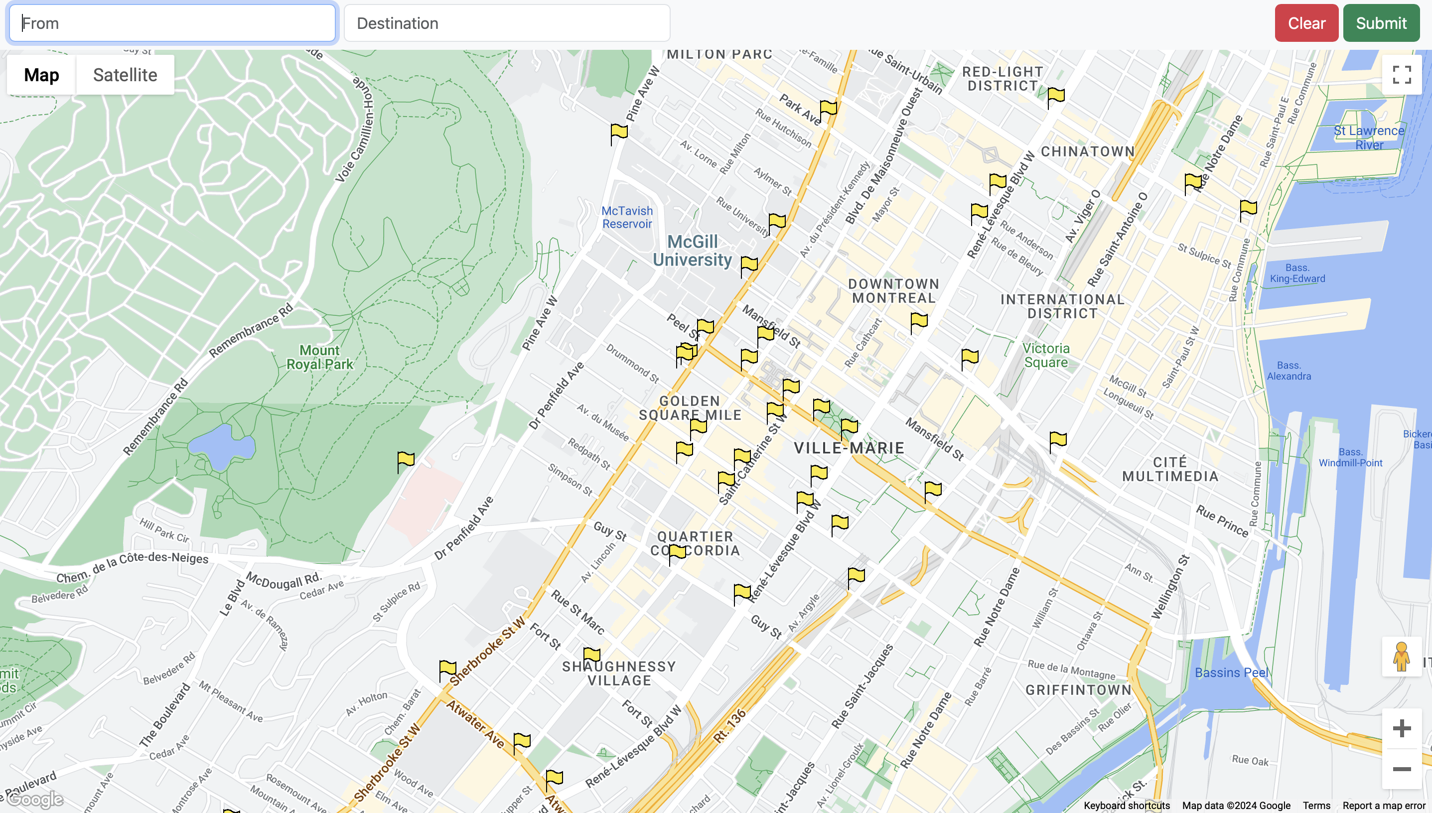
What it does
You input a start and end location of your trip, and the application will create a route, showing areas along and around the route which have had many collisions, indicating to the user on a dynamic navigable map. Common accident locations include ai generated insights based on patterns detected with the crashes in that area to help provide insight to the user about how they should proceed.
How we built it
Used Montreal Open Data Api to gather data about all road collisions in Montreal, parsing the useful information such as weather conditions, crash severity, time, and location. Crashes that occurred close to each other would be saved as one location, and locations that included many crashes would be deemed significant and stored.
With all the significant locations, used sophisticated mathematical algorithms to filter common crash locations into those near the route between the user's start and end location, including ai to find patterns within crash data and generate insights for the user.
Displayed on a webpage using the google maps Api
Challenges we ran into
Integrating the 3 Api's used caused lots of bugs with our code.
Accomplishments that we're proud of
Completing a somewhat working project.
What we learned
We learned how to combine multiple Api's to create a single impactful project.
What's next for Safe Route Guardian
3d google maps street view risk analysis.


Log in or sign up for Devpost to join the conversation.