-
Safer Eating
Inspiration
Wondered where the safest restaurants in town were hiding
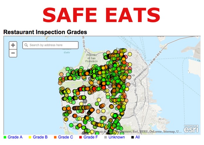
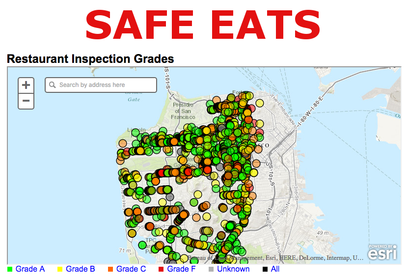
What it does
Takes San Francisco's Department of Health Data (e.g. Restaurant Name, Grade, GPS Coordinates) and lays it over an ESRI map
The fastest way to avoid food poisioning
Safer Eating
Wondered where the safest restaurants in town were hiding
Takes San Francisco's Department of Health Data (e.g. Restaurant Name, Grade, GPS Coordinates) and lays it over an ESRI map

Leave feedback in the comments!
Log in or sign up for Devpost to join the conversation.