Inspiration
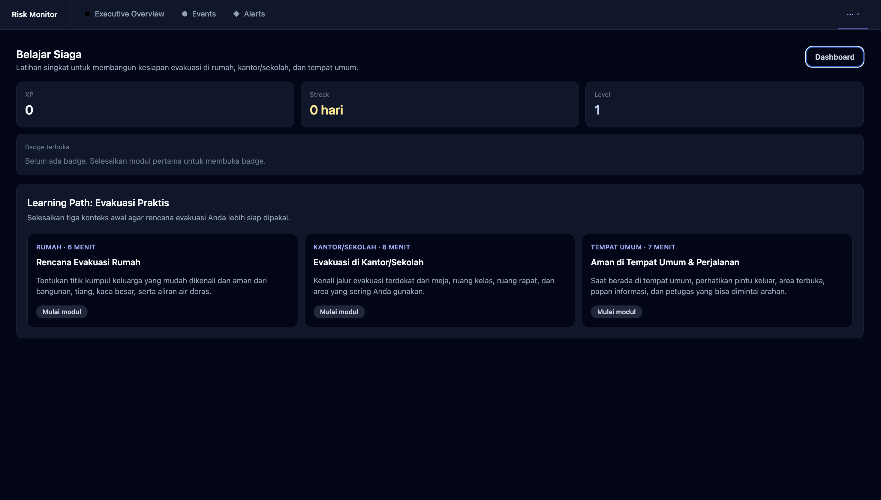
Disaster information is often fragmented across government agencies, scientific platforms, news outlets, social media, and weather services. During an emergency, decision-makers must open multiple websites and manually determine which information is current, relevant, and reliable. We built SadarBencana as a unified situational-awareness workspace where disaster events, news signals, alerts, maps, risk lists, and data-source reliability can be monitored through a single platform. Our goal is to help disaster-response teams, risk analysts, insurance and reinsurance companies, businesses, and the general public identify threats earlier and make faster, better-informed decisions.
What it does
SadarBencana continuously collects and organizes disaster information from multiple sources, including BMKG, USGS, NASA FIRMS, GDACS, PetaBencana, GVP, and trusted news providers.
The platform provides:
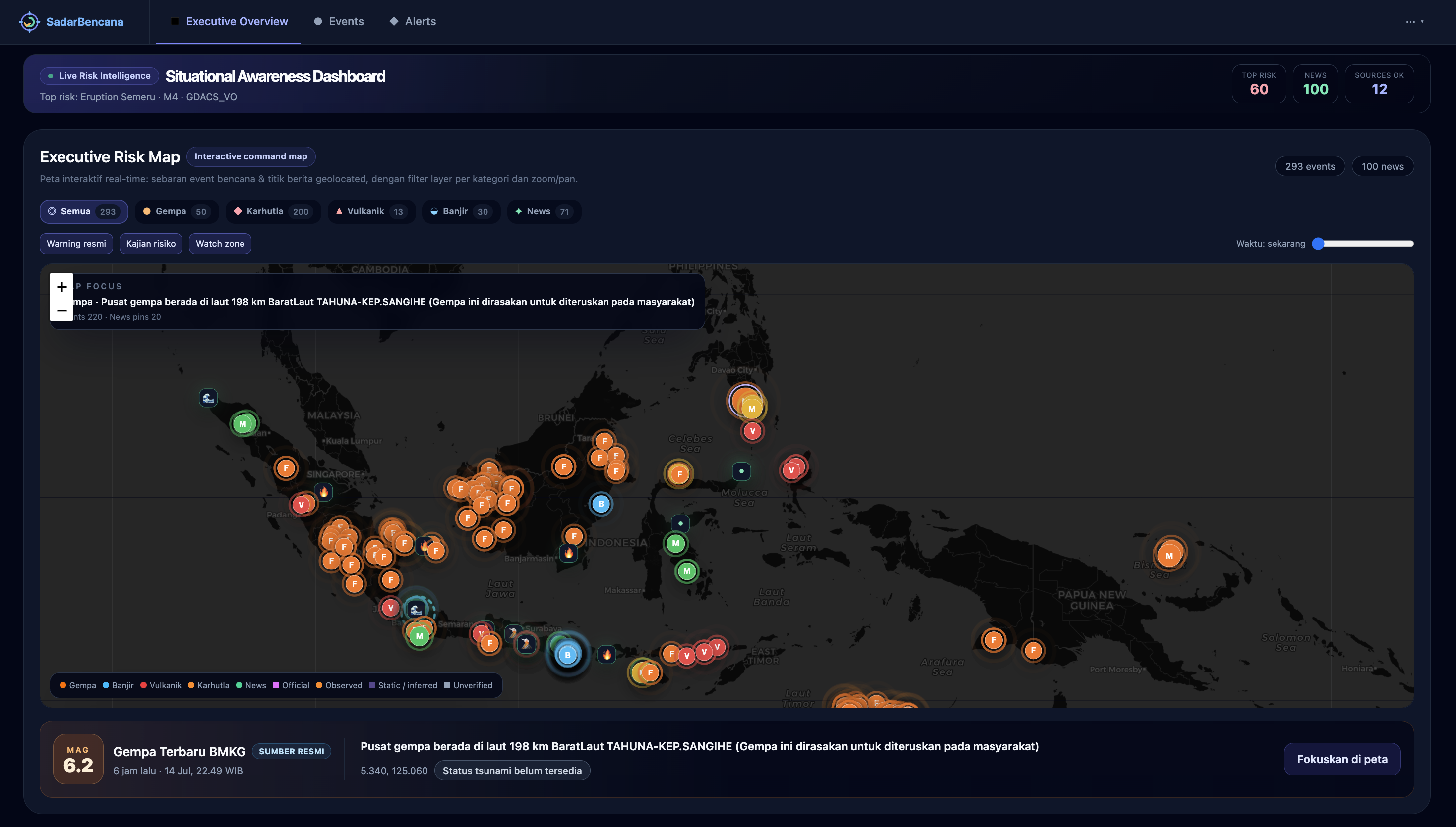
An interactive risk map for earthquakes, wildfires, floods, volcanic activity, and geolocated news
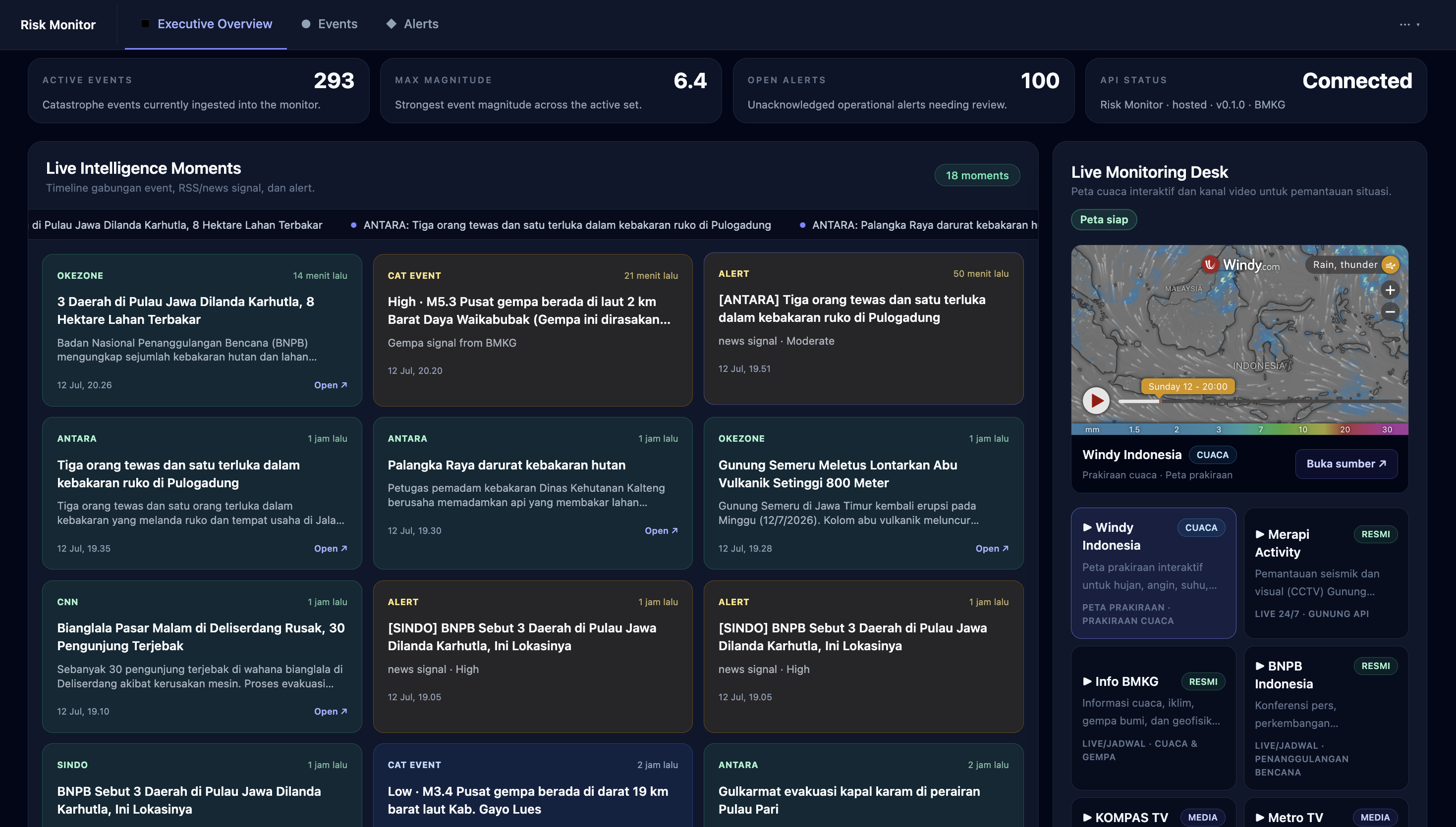
A unified timeline combining disaster events, news signals, and operational alerts
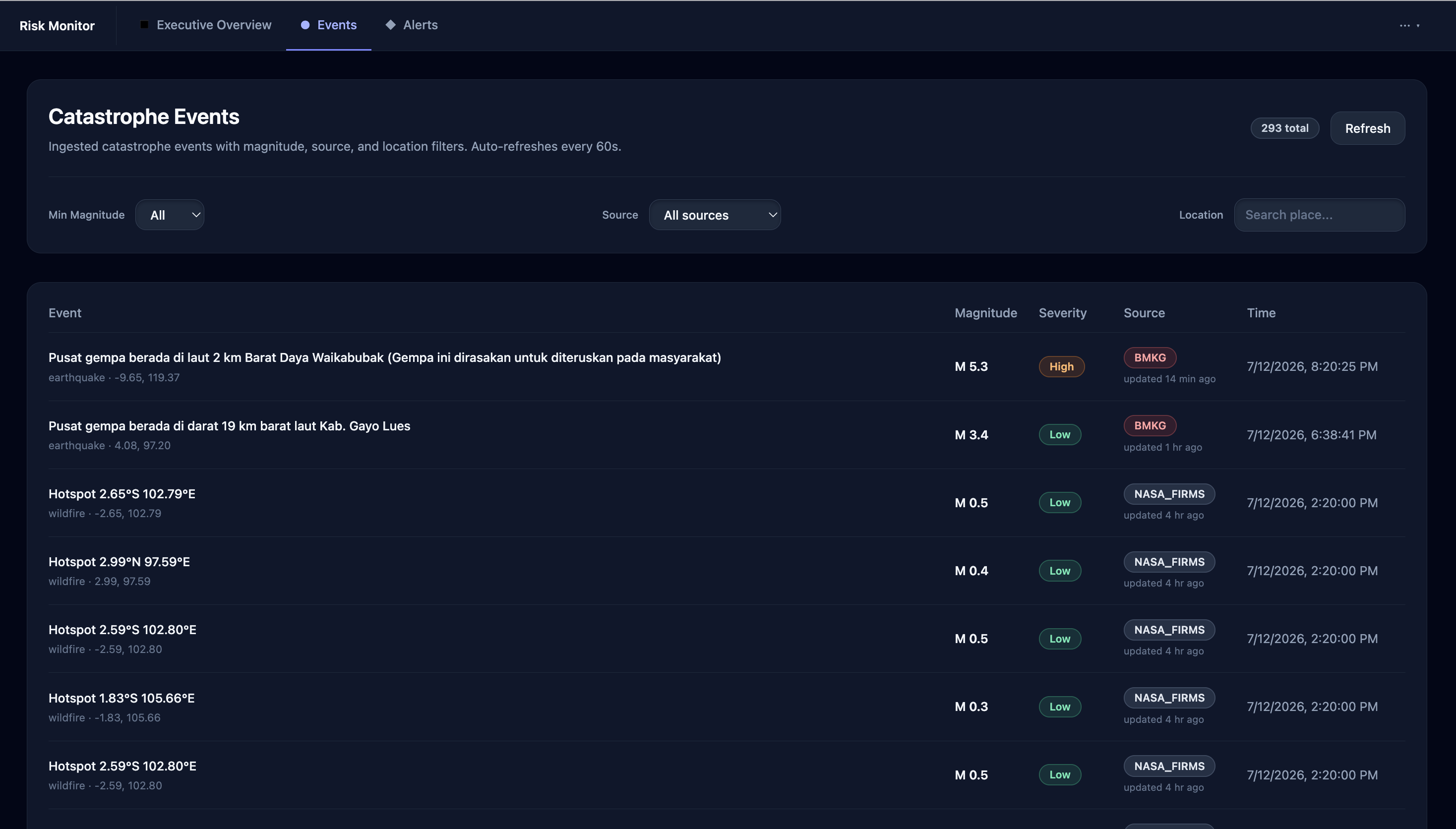
Event filtering by magnitude, source, location, category, and time range
Risk classification using Low, Moderate, High, and Critical severity levels
Multi-source corroboration for verifying disaster information
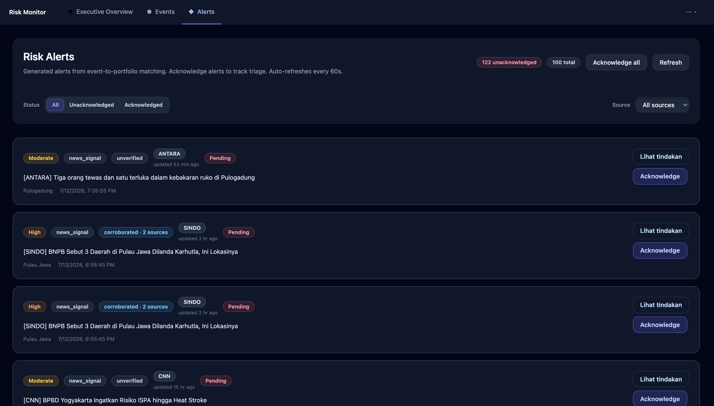
An acknowledgement workflow for operational triage
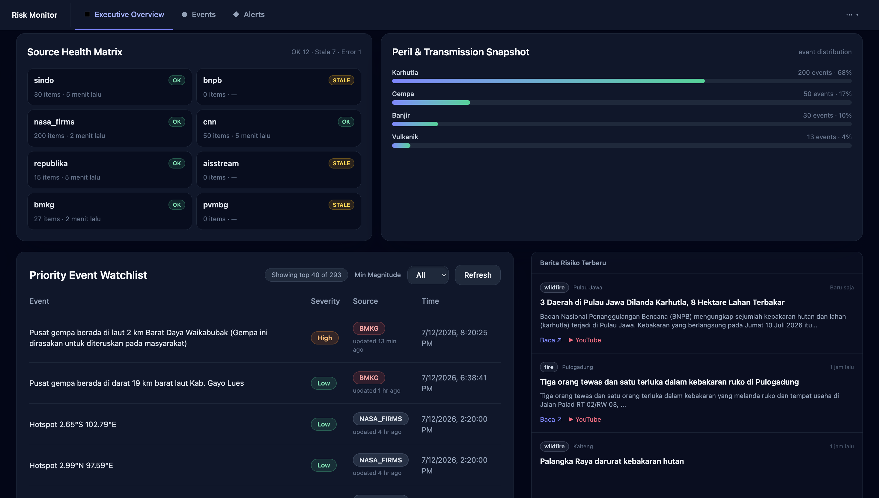
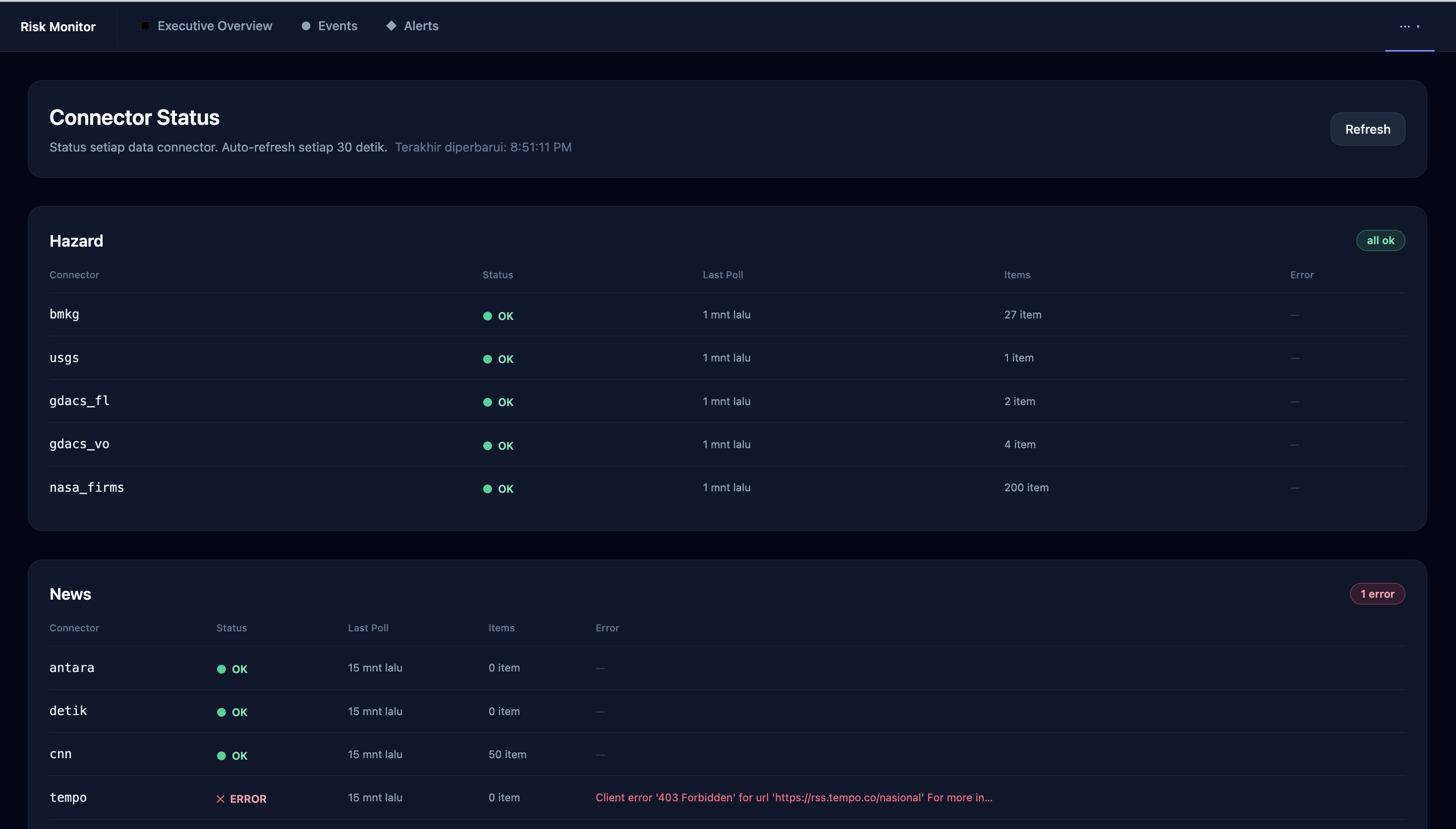
Source-health monitoring to identify stale, unavailable, or failing data connectors
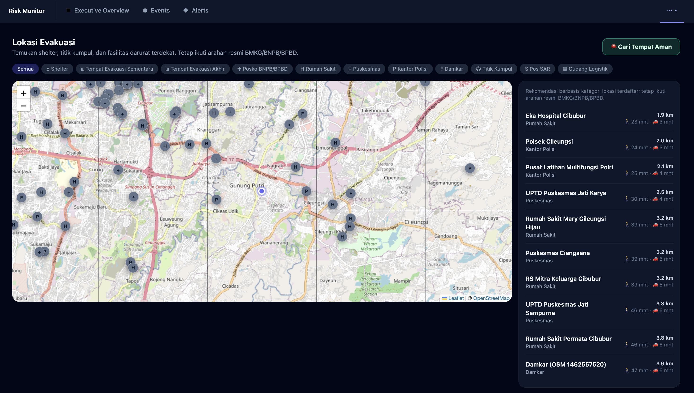
Direct access to weather maps, official monitoring channels, and emergency information
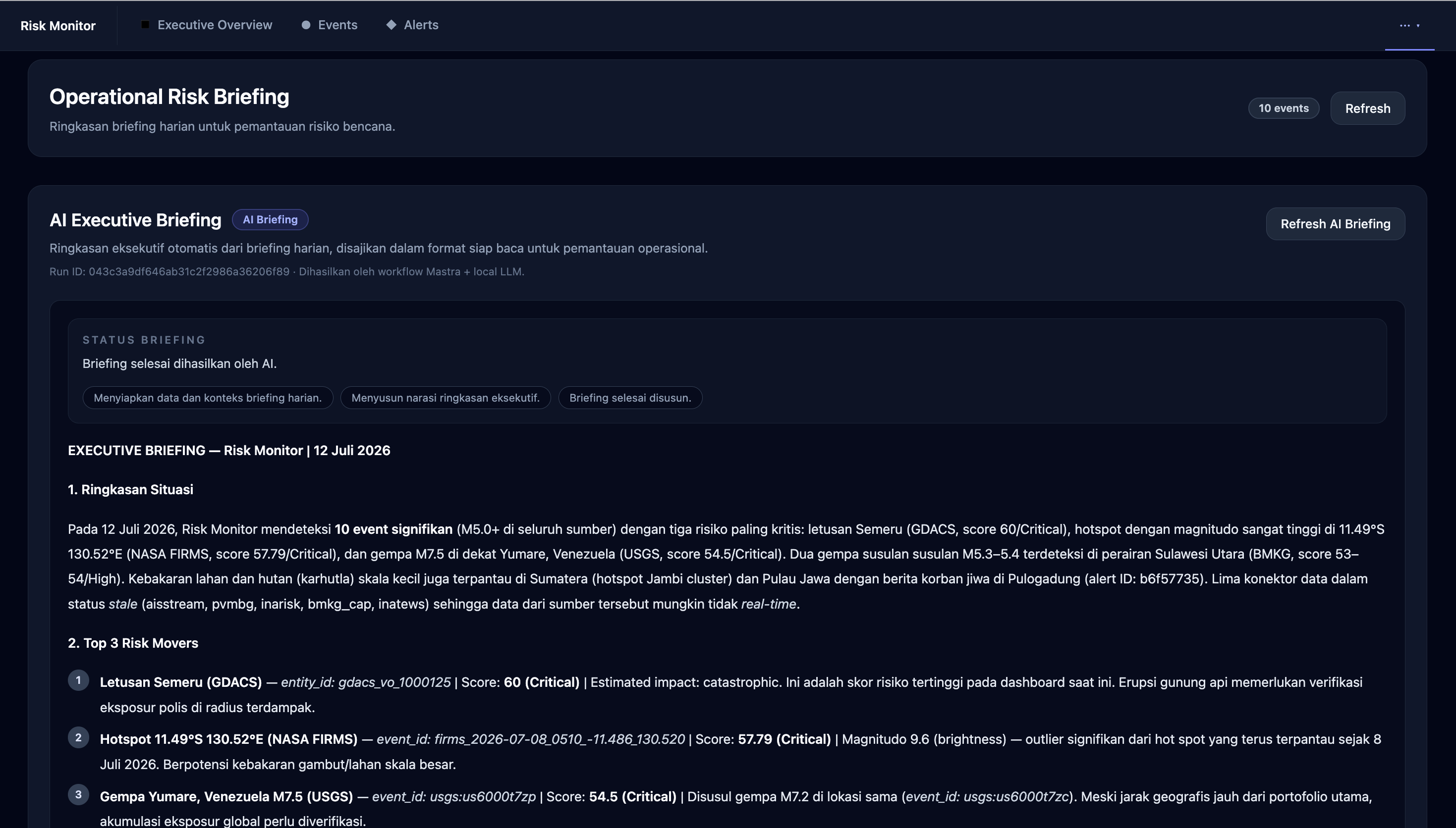
Executive indicators for active events, maximum magnitude, open alerts, and hazard distribution
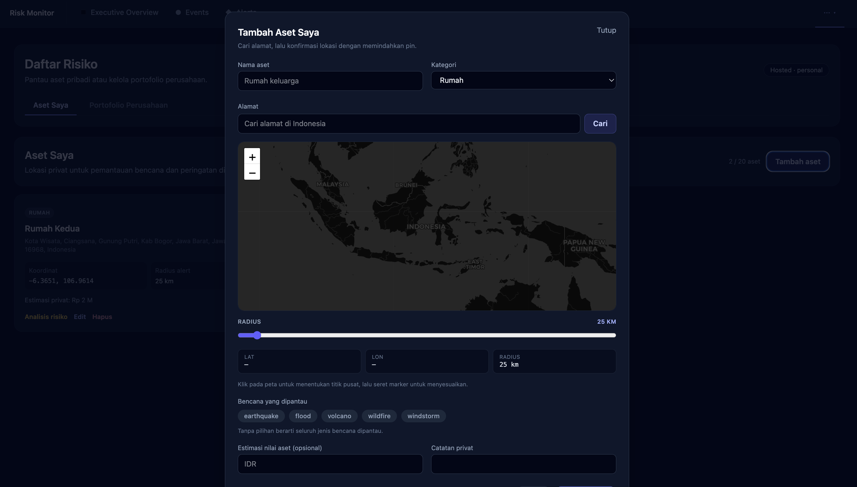
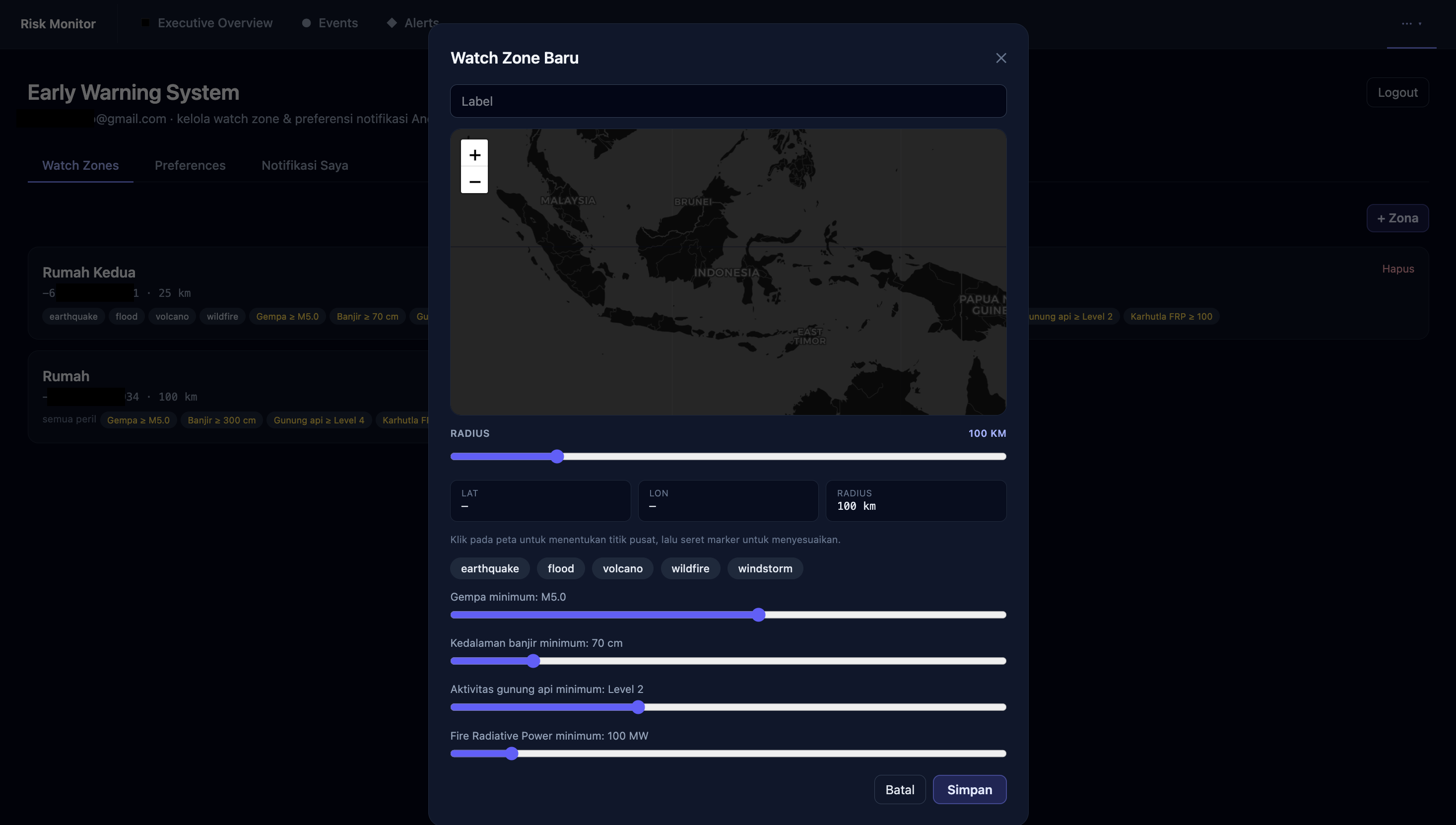
User-defined monitoring zones based on selected locations
Risk lists generated from threats detected within or near each monitoring zone
Alerts when a disaster may affect a user’s monitored area
Detailed information about the disaster type, severity, location, distance, occurrence time, and official source
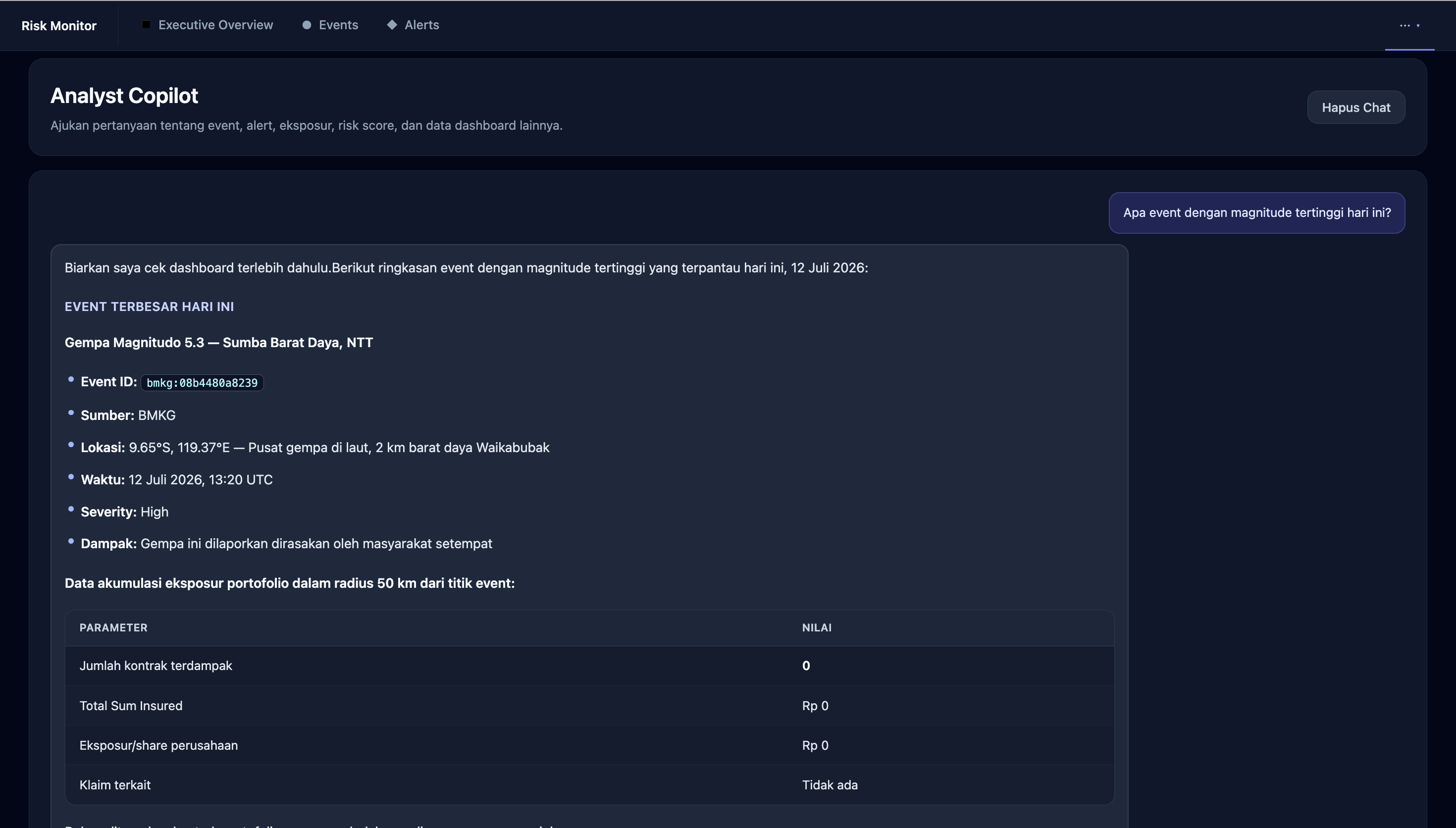
Exposure monitoring and indicative loss estimates for insurance and reinsurance companies
For the general public, monitoring zones provide relevant disaster information for locations such as homes, workplaces, family residences, or other areas they want to monitor.
For insurance and reinsurance companies, monitoring zones can be connected to insured portfolios or exposure data. The system can then identify potentially affected assets, risk concentrations, and indicative loss estimates when a disaster occurs.
How we built it
We designed SadarBencana as a modular, web-based disaster intelligence platform. Data-ingestion services collect information from multiple APIs and feeds, normalize different data formats, remove duplicates, classify events, and enrich them with geographic information.
The processed data is presented through a responsive dashboard containing interactive maps, event tables, alert cards, timelines, filters, risk lists, and source-health indicators. Automatic refresh mechanisms keep the operational view up to date.
SadarBencana uses geospatial matching to compare disaster locations with monitoring zones created by users. When an event occurs within or may affect a selected zone, the system adds it to the relevant risk list and generates a prioritized alert.
For insurance and reinsurance use cases, risk zones can be connected to portfolio and exposure values. The platform can then produce an indicative loss estimate based on the affected area, disaster type, severity level, and the value of insured assets within the zone.
The estimate is intended to support early response, portfolio monitoring, and triage. It does not represent a final claim value, official loss assessment, or loss-adjustment result.
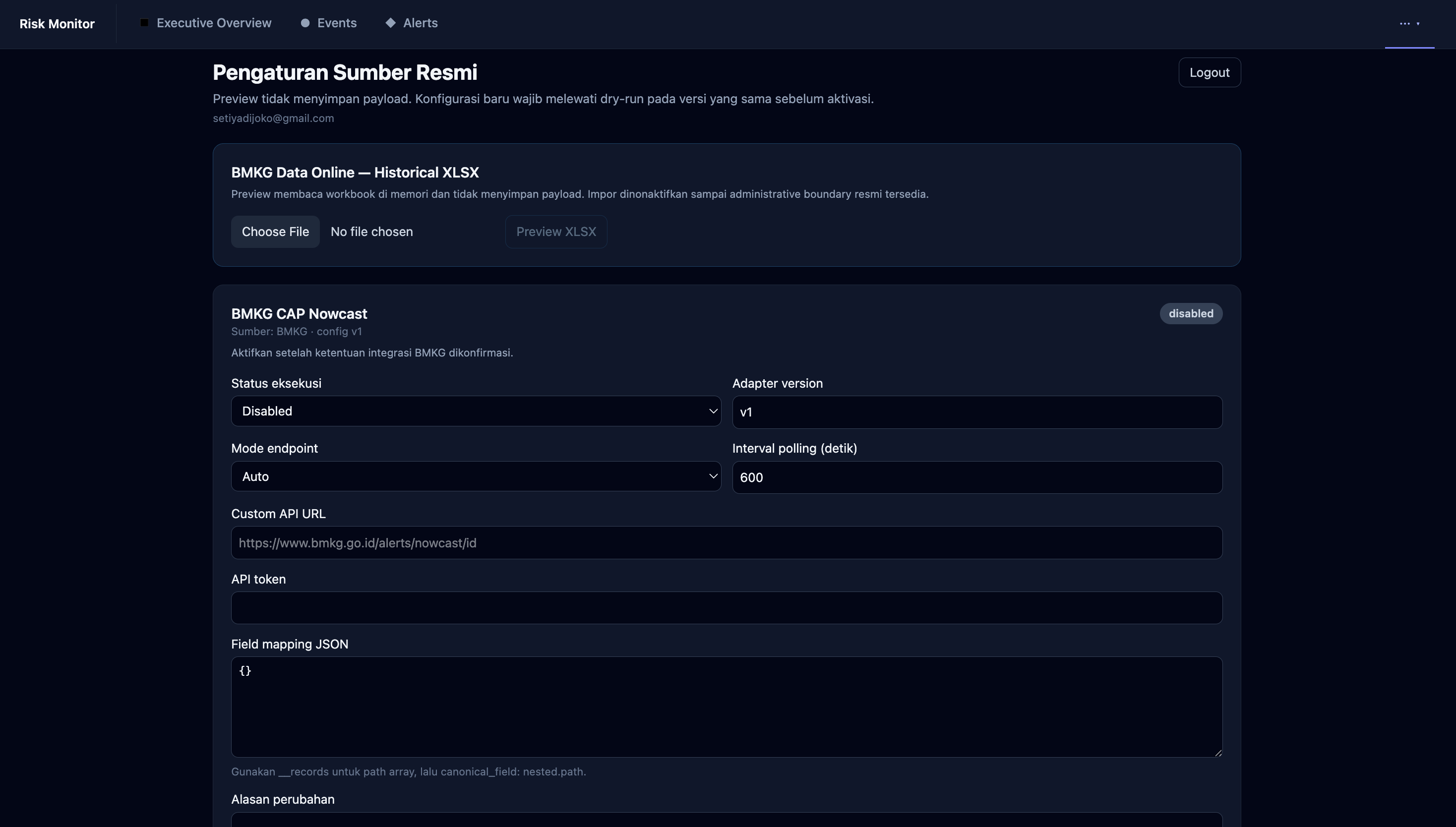
We also separate official information from third-party supporting visualizations so users can clearly distinguish authoritative warnings from contextual intelligence.
Challenges we ran into
The biggest challenge was combining data from sources with different formats, update frequencies, geographic coverage, and reliability levels. The same event may also appear in multiple feeds with different names, coordinates, or timestamps.
Other challenges included:
Reducing duplicate events and alerts
Geolocating news articles
Applying consistent severity levels across different disaster types
Matching disaster events with user-defined monitoring zones
Determining whether an event could realistically affect a selected area
Producing rapid indicative loss estimates without presenting them as final claim values
Monitoring connector health and source reliability
Presenting large amounts of information without overwhelming users
We addressed these challenges through data normalization, source attribution, event correlation, geospatial matching, severity classification, exposure modelling, filtering mechanisms, and an operationally focused dashboard design.
Accomplishments that we're proud of
We successfully created a unified disaster-monitoring experience that combines scientific event data, official information, news intelligence, weather visualization, monitoring zones, risk lists, and operational alert management.
We are especially proud of:
The interactive risk map
Multi-source event corroboration
The source-health matrix
Event filtering and correlation
User-defined monitoring zones
Location-based risk lists
The acknowledgement workflow for operational triage
Event-to-portfolio exposure matching
Indicative loss estimates for insurance and reinsurance companies
Together, these capabilities transform fragmented information into actionable situational awareness and risk intelligence.
What we learned
We learned that disaster intelligence is not simply about collecting more data. Its real value comes from validating sources, connecting related signals, understanding their impact on specific locations or portfolios, prioritizing important events, and presenting information in a form that supports rapid decision-making.
We also learned that different users have different needs. The general public needs simple, relevant, and location-based information. Insurance and reinsurance companies require information about exposure, risk accumulation, potential impact, and indicative loss estimates.
Transparency remains a core principle. Every alert should display its source, verification status, severity, location, occurrence time, and the basis of its impact estimate. Supporting intelligence must not replace official warnings from authorized agencies, while an indicative loss estimate must not be treated as a final claim value or official loss-adjustment result.
What's next for sadarbencana.id
Our next step is to transform SadarBencana from a monitoring dashboard into a comprehensive disaster-risk intelligence and decision-support platform.
We plan to expand the platform with:
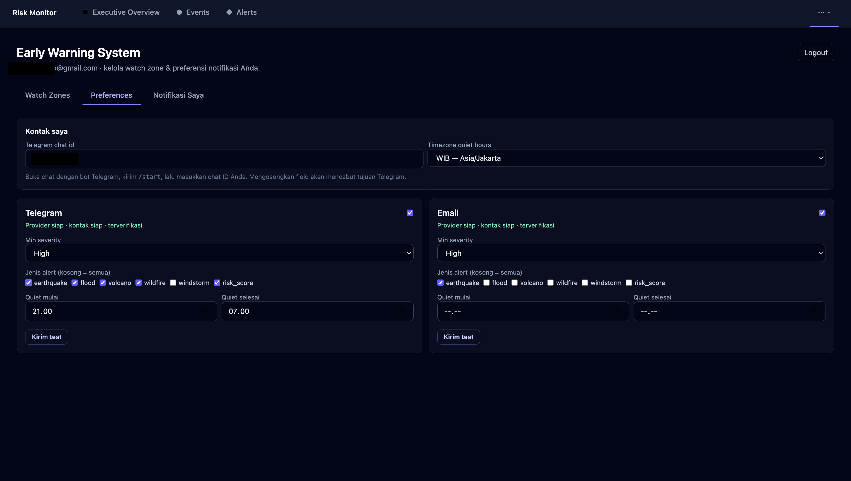
Personalized notifications through email, mobile devices, and messaging platforms
A Progressive Web App and mobile-friendly emergency experience
More detailed user-defined monitoring zones and multi-location risk lists
Community-based incident reporting with location, photo, and verification workflows
Additional official disaster, weather, satellite, and geospatial data sources
AI-assisted event correlation, source verification, and situation summaries
Disaster-impact forecasting based on hazard intensity and geographic conditions
Portfolio and exposure-data imports for insurance and reinsurance companies
Risk-accumulation analysis across regions, business lines, and insured portfolios
More advanced indicative loss estimates using exposure values, vulnerability assumptions, and historical disaster data
Scenario simulations for earthquakes, floods, wildfires, volcanic activity, and other hazards
Role-based dashboards for the public, emergency responders, risk managers, insurers, and reinsurers
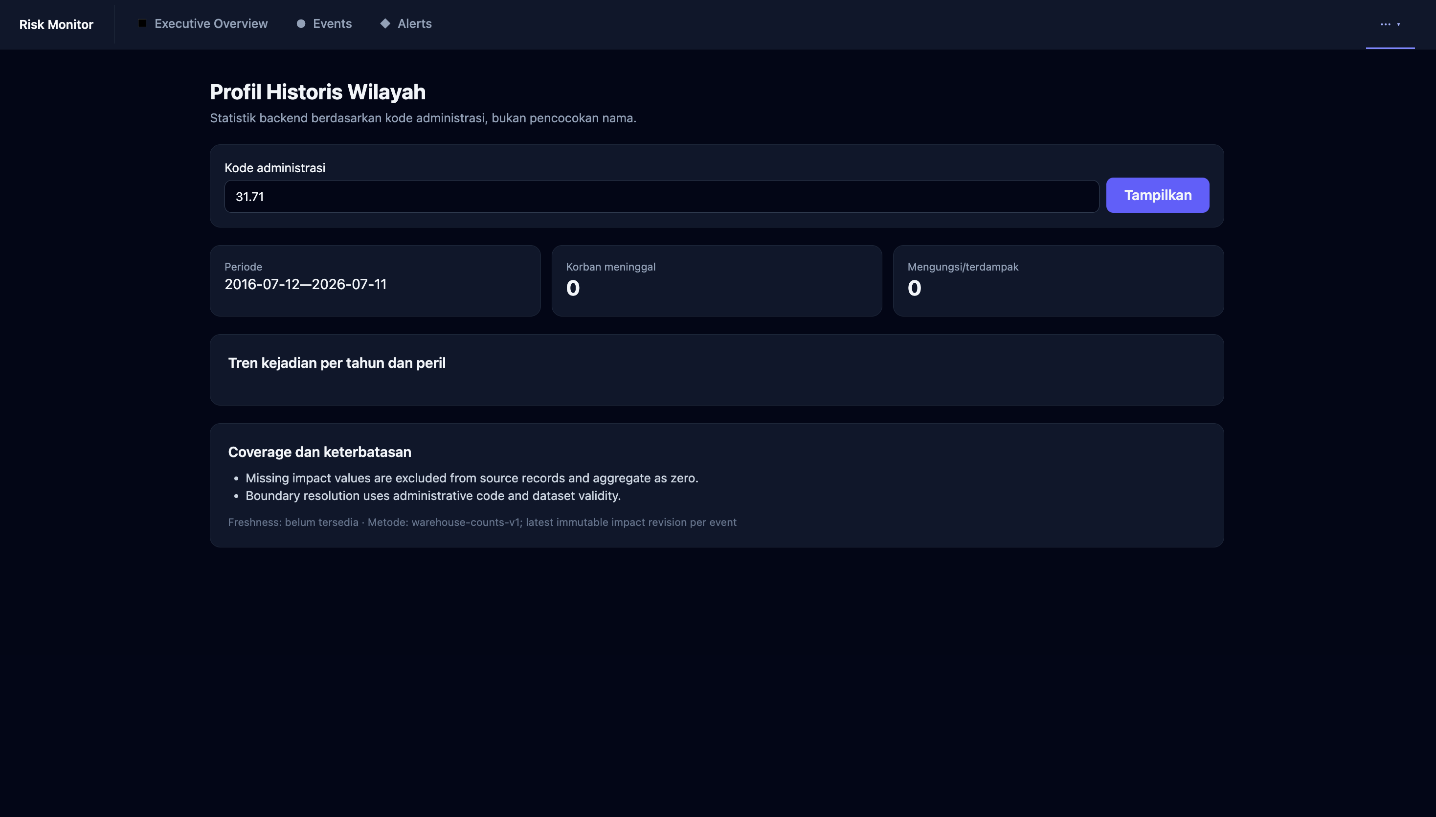
Historical analytics for identifying disaster patterns and high-risk areas
Integration APIs for government agencies, businesses, insurers, reinsurers, and other risk-management platforms
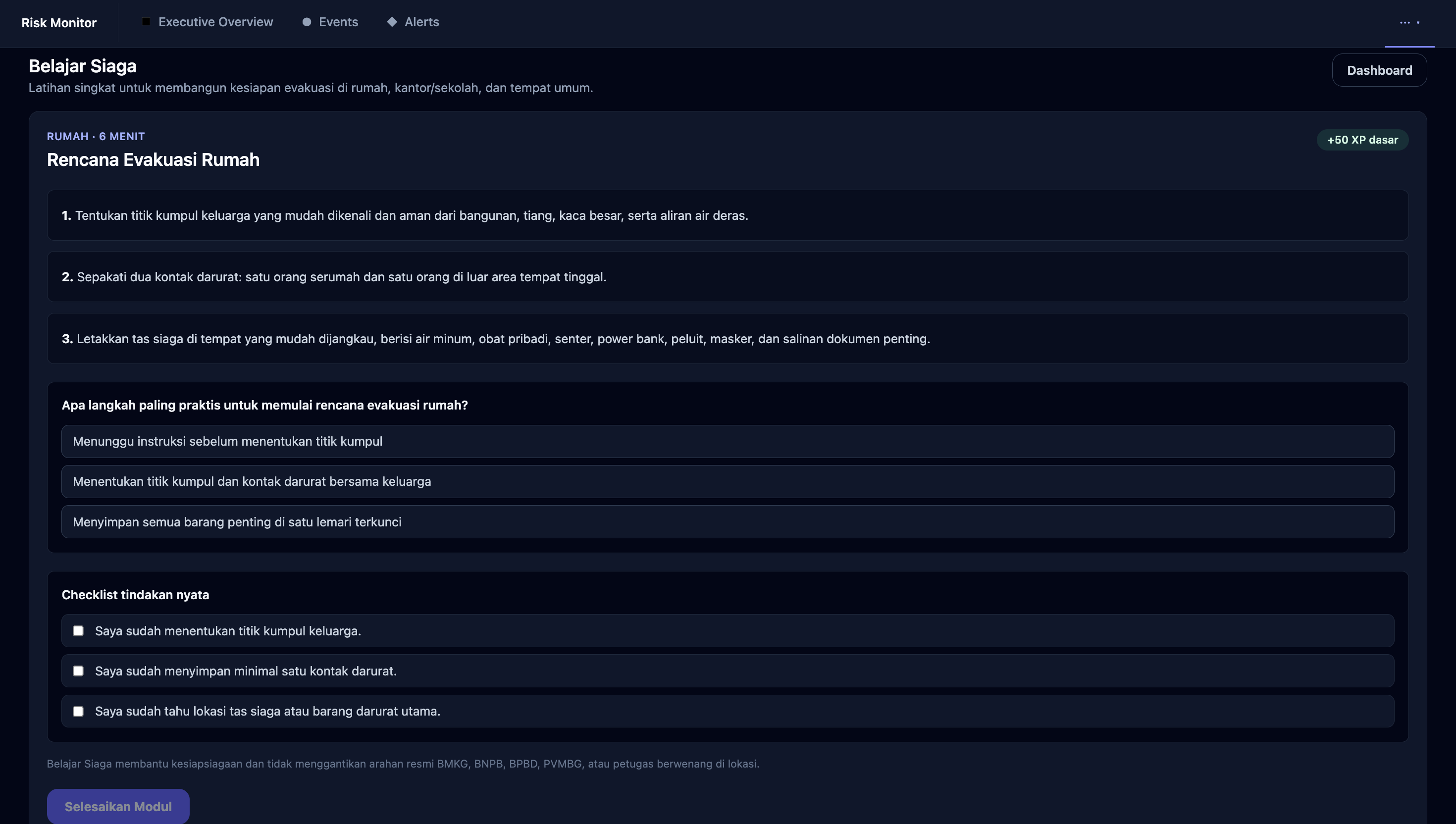
For the general public, we want SadarBencana to become a trusted personal disaster companion that provides clear, location-specific, and actionable information before, during, and after an emergency.
For insurance and reinsurance companies, we aim to develop stronger catastrophe-risk capabilities, including exposure mapping, portfolio accumulation monitoring, event-to-portfolio matching, impact scenarios, and indicative loss estimates. These capabilities will support faster initial assessments, operational triage, portfolio monitoring, and management reporting.
We also plan to collaborate with disaster-management agencies, researchers, insurance professionals, and local communities to validate our risk models and improve the quality of our data. Our long-term vision is for SadarBencana to become an open and reliable disaster-intelligence ecosystem that helps protect people, assets, businesses, and communities.

Log in or sign up for Devpost to join the conversation.