-
-
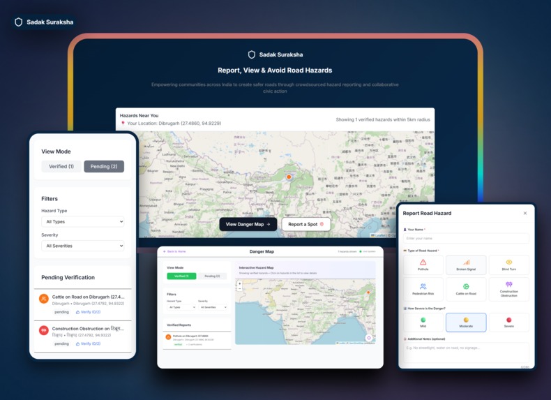
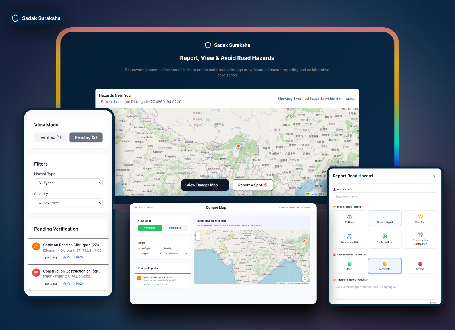
major screens from the app
-
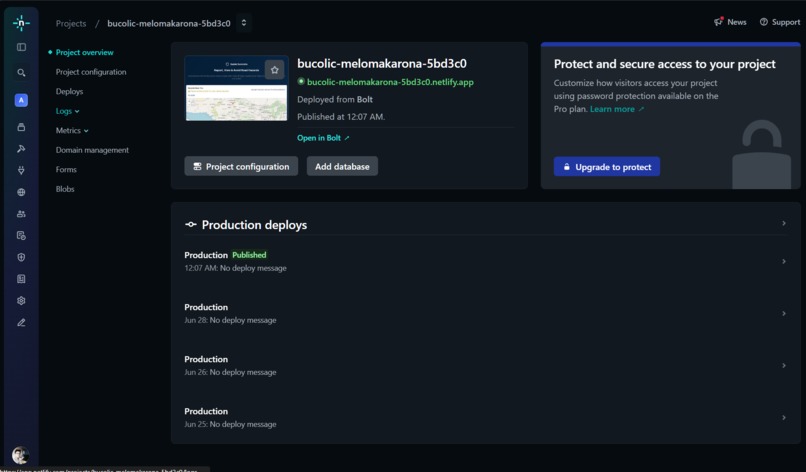
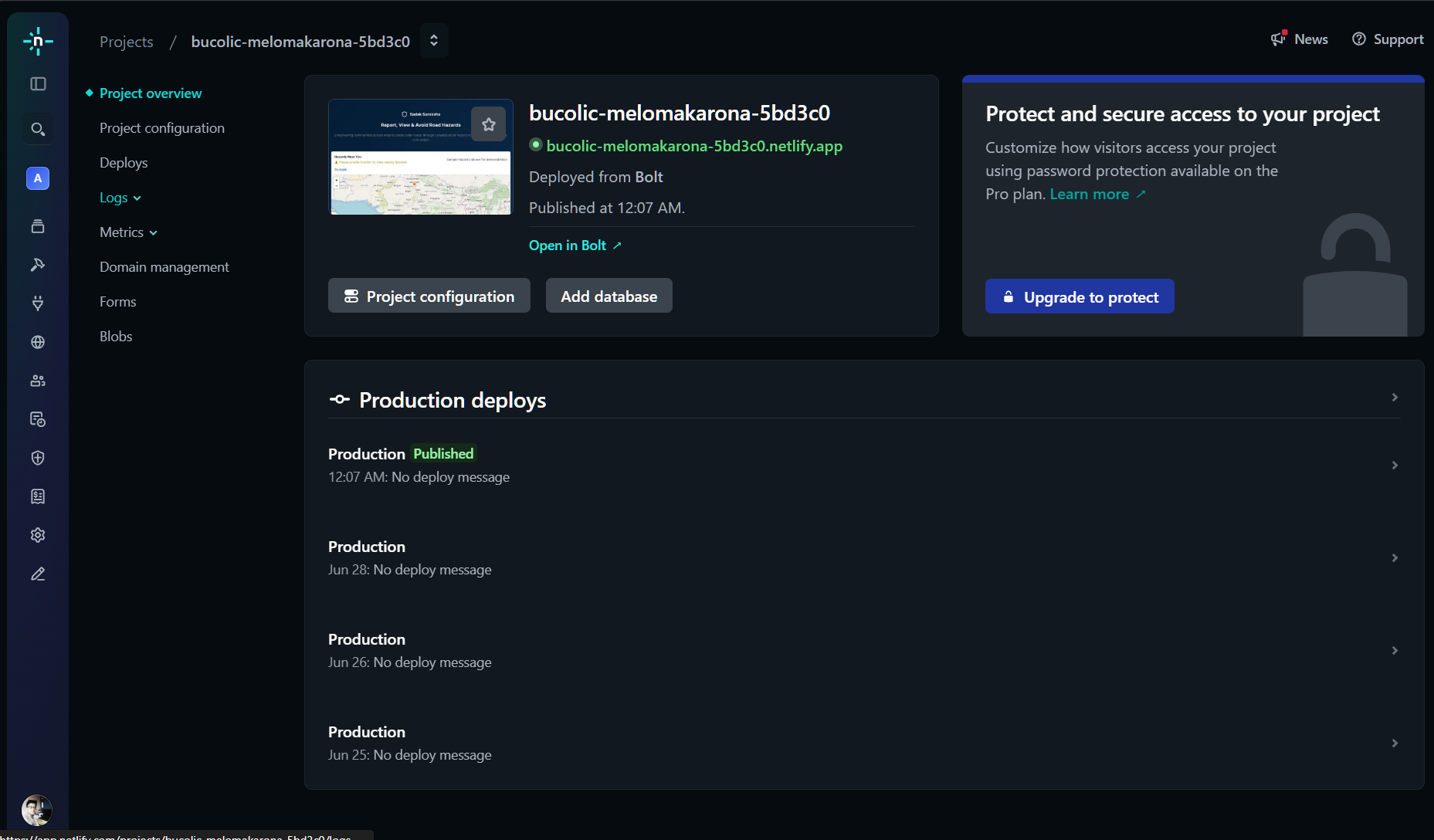
used netlify to deploy
-

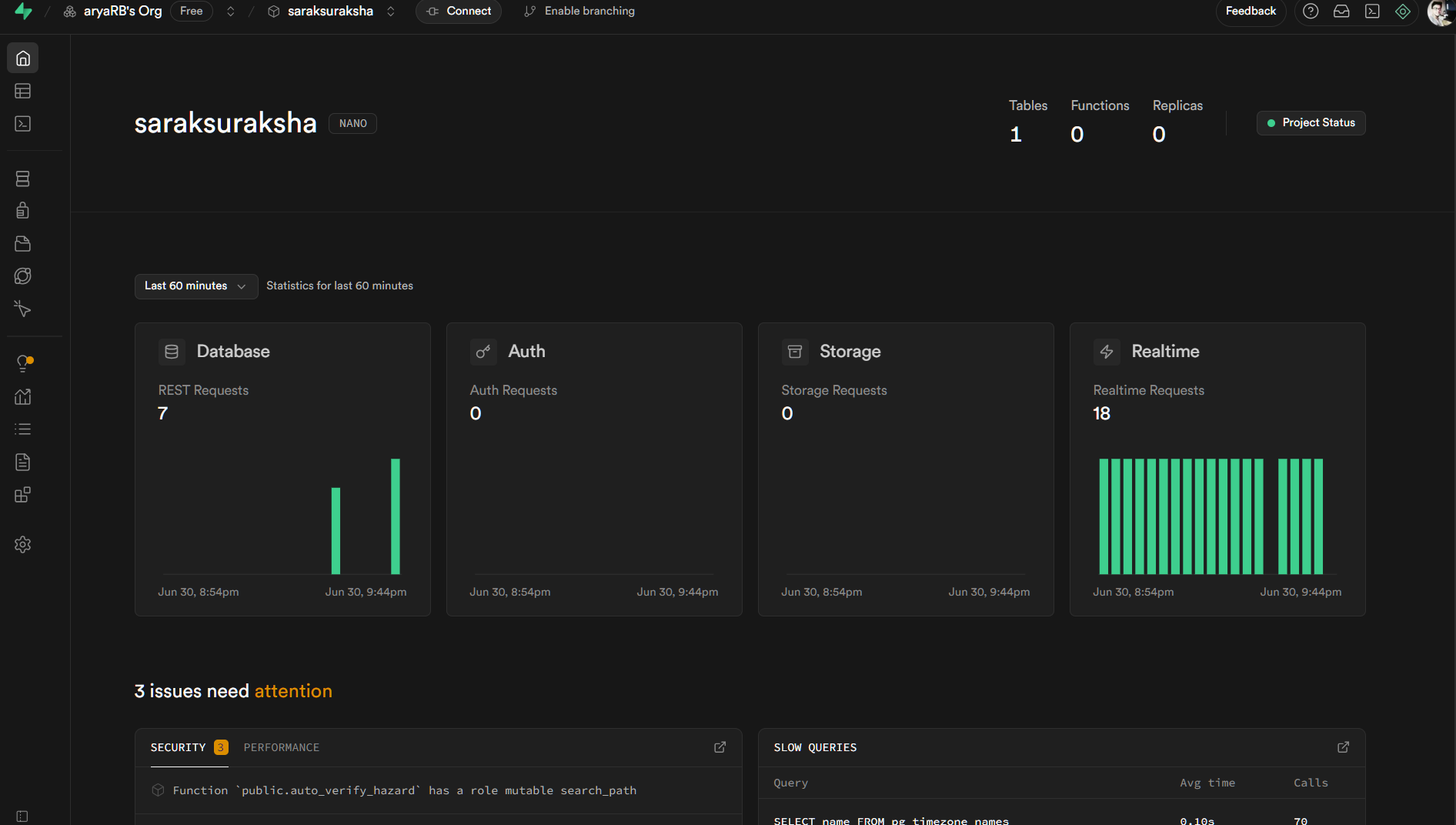
used supabase for database
-
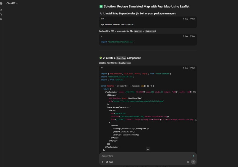
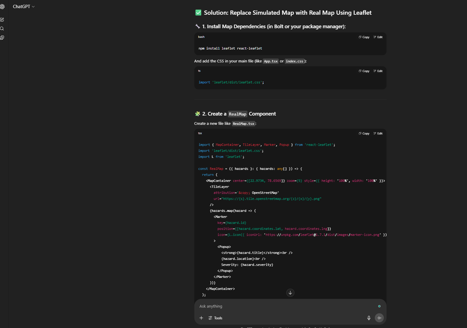
used Chat gpt for research and study
Inspiration
India sees over 4.6 lakh road accidents annually, but countless near-misses, potholes, blind turns, and broken signals go unreported—until a major incident occurs. The idea for Sadak Suraksha was born from the frustration of daily commuters who know where danger lies but have no outlet to report it or warn others. We aimed to build a community-powered danger map that makes roads safer through collective vigilance.
What it does
Sadak Suraksha is a crowdsourced road hazard heatmap that allows anyone to report a road hazard anonymously—no logins or apps required. Users can: -Submit danger spots (e.g., potholes, broken signals, blind turns) -Add severity, photos, and description -View a real-time interactive map of verified hazards near them -Confirm if they’ve seen an existing report to verify it -Filter hazards by type or severity
Only verified reports are shown publicly, and pending reports remain hidden until at least two people confirm them.
How I built it
I used a map-first homepage UI that asks for location access upfront. Users can anonymously report road hazards (like potholes or blind turns), which are marked as pending until verified by others. If at least 2 other users confirm a hazard from different IP and MAC address, it becomes verified and appears on the live map. The trust model relies entirely on community confirmation, rate-limiting, and UI signals (like severity color and status icons). I implemented mobile-first design, modal forms, and lightweight geofilters.
Challenges we ran into
- Preventing spam without authentication or OTPs is a tough case.
-Handling real-time geospatial filtering for hazards within 5km
-Designing a trustworthy and accessible UI for anonymous users
-Optimizing map rendering performance on slow connections
Balancing usability with responsible data reporting
Did everything in 4 days with 1.5-2M credits.
Accomplishments that we're proud of
-Built an anonymous, civic-minded tool with no signup barrier
-Real-time map with community-verified hazard reports
-Simple but powerful moderation system based on user trust
-Designed with a mobile-first, accessible experience
- Main functinalities are done with only 300k -400k credits.. few UX refinements took about 1.5M credits.
-Fully functional MVP in a short hackathon timeframe
What we learned
-Handling location data with privacy and fallback gracefully
-Importance of minimal friction UI in civic tools
-How to build trust in anonymous, crowdsourced systems
-Designing for impact in both urban and rural Indian contexts
-Making geospatial UIs accessible and performant
- Vibecoding experience, connecting to database was buttery smooth.
What's next for Sadak Suraksha
Integrated Car/ scooter app
Alert users about new hazards along their usual route
-Auto-generate fix requests to local authorities from reports
Partner with NGOs, schools, and delivery fleets for adoption
Launch a public dashboard for Smart Cities or CSR initiatives
-Translate interface into Hindi & regional languages
-Use AI clustering to identify high-risk intersections from reports
- Turn into a PWA for installable mobile experience
Built With
- auto-statustransition
- captcha
- community
- custom-components
- human
- ip/fingerprint
- languages:-javascript
- layout
- mobile-first
- netlify
- rate-limiting
- reverse-geocoding-(openstreetmap)-cloud:-supabase-+-vercel-ui/ux:-tailwind-css
- security:
- typescript-frameworks:-react-mapping:-leaflet.js-database:-supabase-(postgresql)-authentication:-none-(anonymous-+-fingerprint/ip-tagging)-storage:-supabase-storage-(for-image-uploads)-apis:-geolocation-api
- upvotes
- verification


Log in or sign up for Devpost to join the conversation.