-

Logo
-
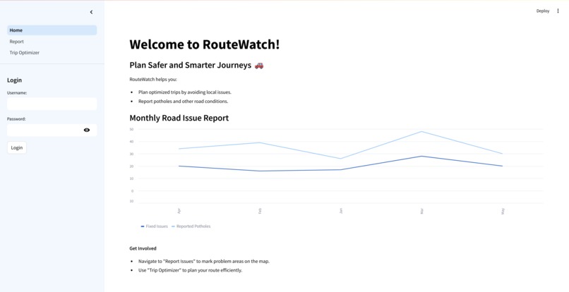
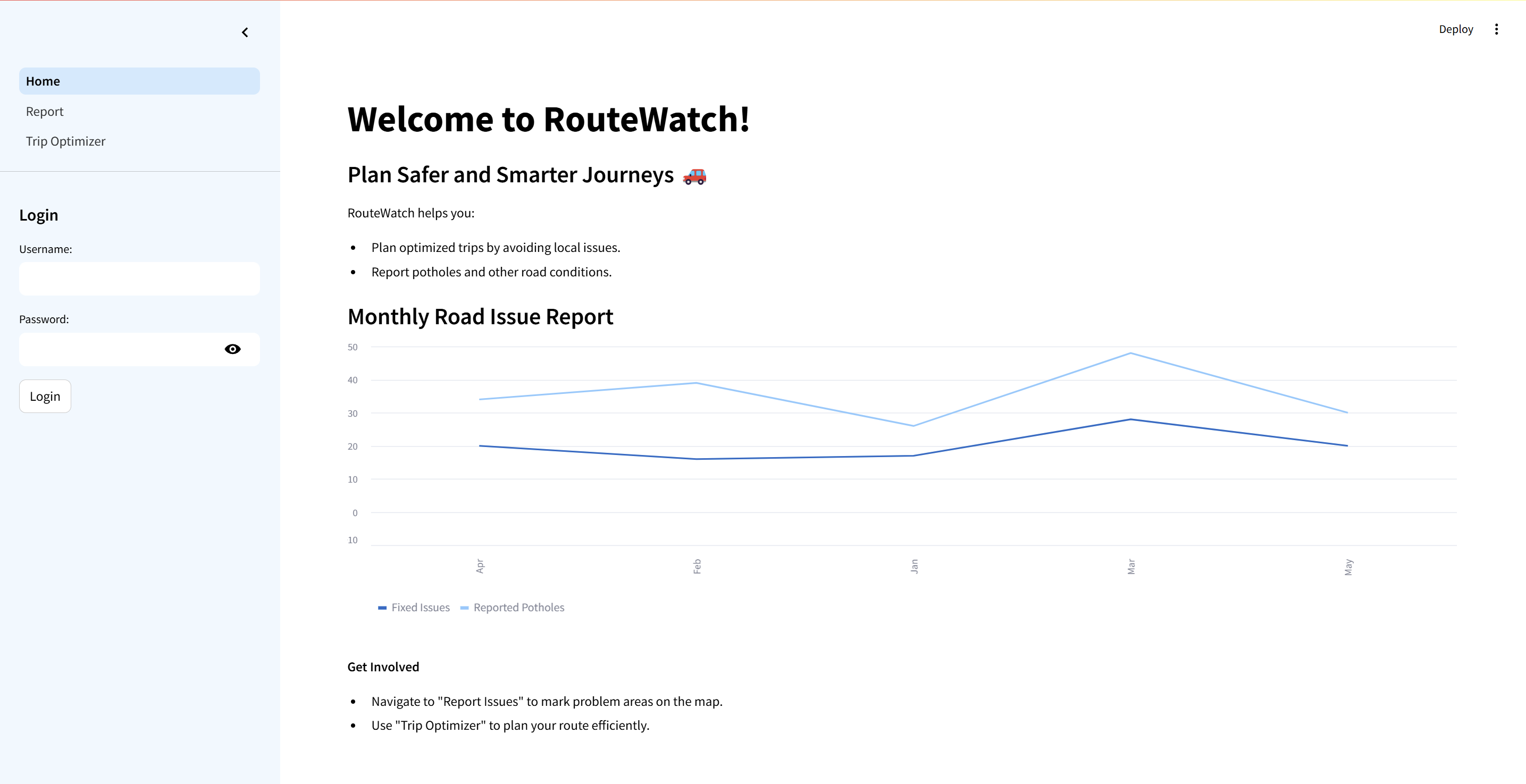
Home Page
-

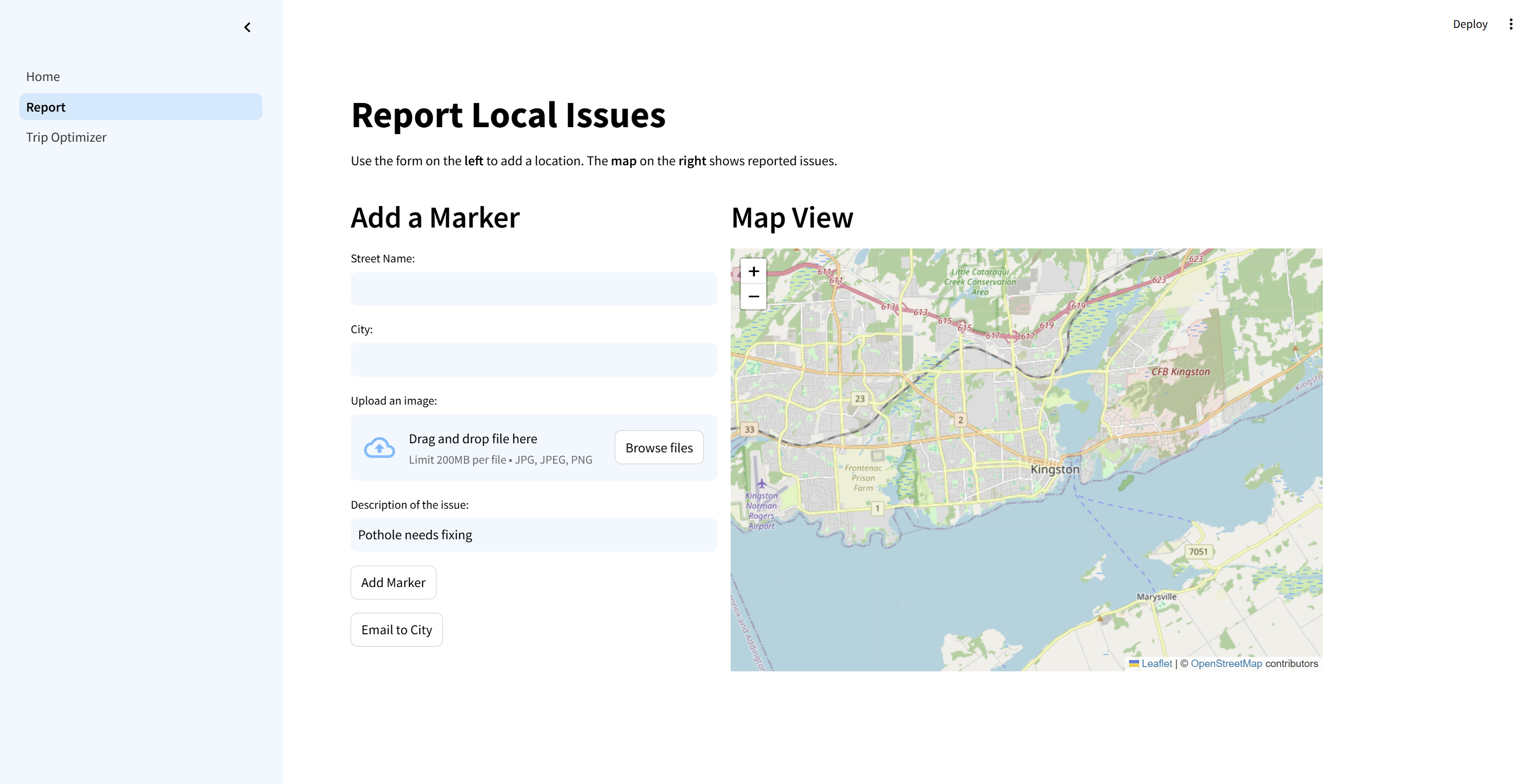
Report Page
-
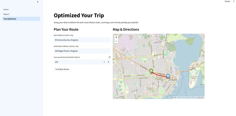
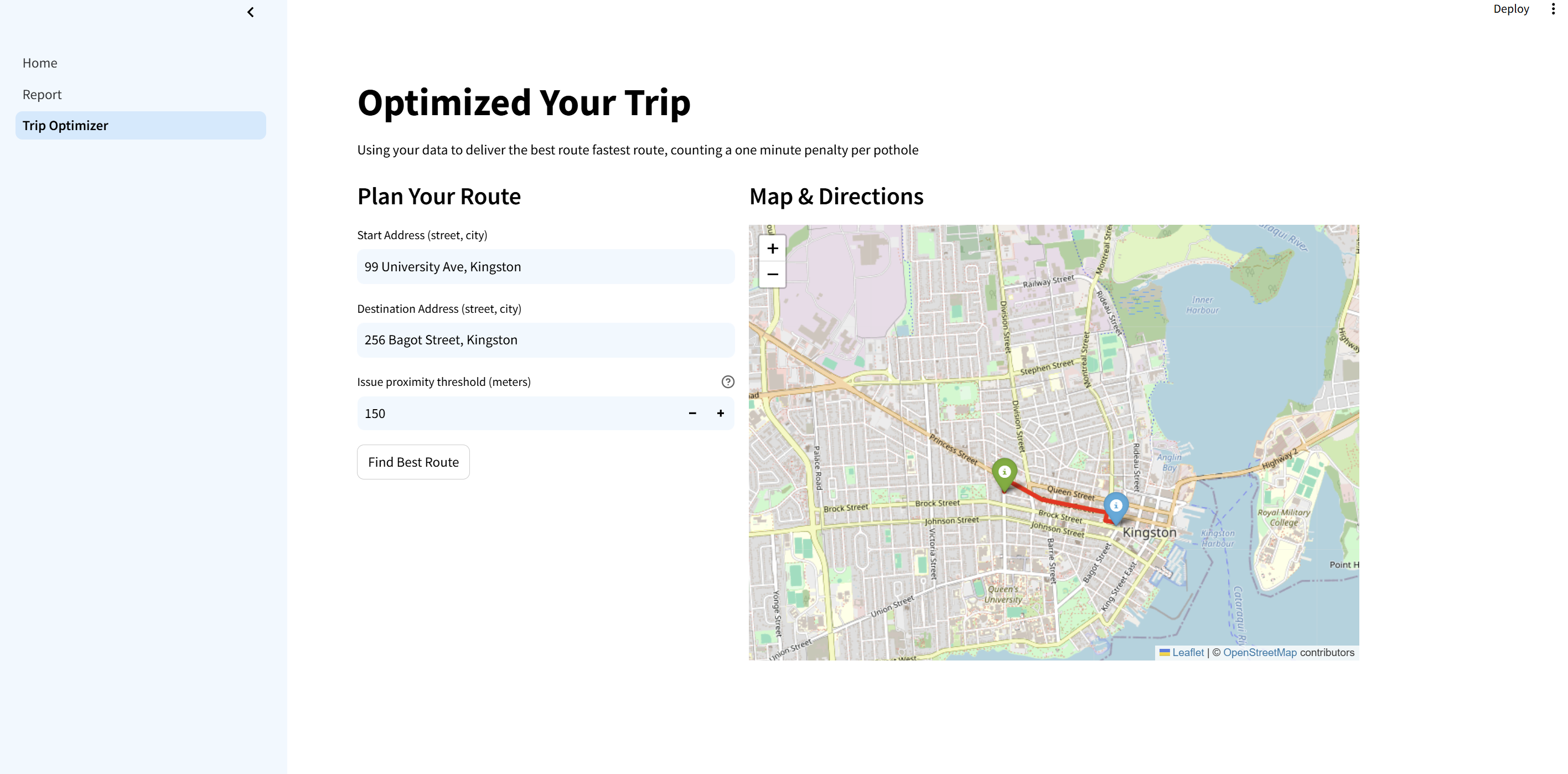
Trip Optimizer
Inspiration
RouteWatch was created to help the Kingston community by providing real-time road hazard reporting, inspired by a friend’s frustrating experience with a pothole. Recognizing the value of timely information, we aimed to empower residents to report issues like potholes and accidents while supporting city officials in addressing them quickly. Using Streamlit’s session state to manage data locally, the app ensures a lightweight, efficient design tailored to meet Kingston’s needs.
What it does
RouteWatch enables Kingston residents to report road issues they encounter, such as potholes, accidents, or other hazards. Users can upload a photo, provide a brief description, and pin the location within the app. These reports are sent to city officials in Kingston for action and are displayed on a live map for public viewing. Problem areas are marked in red, helping users identify hazards. Additionally, the app provides real-time navigation to the safest and most efficient alternative routes, making travel in Kingston faster and safer.
How we built it
RouteWatch was built using Streamlit as the frontend, paired with backend integrations for advanced routing and geolocation. The app uses OSRM for route calculations, Geopy for address-to-coordinate conversion, and Polyline for decoding route geometry. Streamlit handles user interactions, hazard reporting, and map visualizations via Folium, while custom logic evaluates nearby hazards to adjust route times. With all data managed in session state, RouteWatch offers an efficient and scalable solution for Kingston residents.
Challenges we ran into
While building RouteWatch, we encountered challenges specific to tailoring the app for a city like Kingston. Selecting the right APIs was a balancing act, as some offered limited functionality or were cost-prohibitive. Additionally, integrating geolocation data and ensuring hazard reports were displayed accurately on the live map posed difficulties. These challenges helped us refine the app to meet the specific needs of Kingston’s infrastructure.
Accomplishments that we're proud of
We’re proud of creating a fully functional prototype tailored to the needs of Kingston residents. Successfully integrating advanced routing to suggest the best alternative routes was a major achievement, as was building an intuitive interface using Streamlit that makes it easy for users to report hazards in real-time. The app is designed to improve safety and efficiency for Kingston commuters and city officials alike.
What we learned
Through this project, we gained valuable insights into the challenges of building an app tailored to a specific community like Kingston. We learned the importance of selecting APIs that balance functionality and cost, integrating advanced routing for real-time navigation, and designing a user-friendly experience for local residents. We also learned how to collaborate effectively under tight deadlines and solve technical problems as a team.
What's next for RouteWatch
Our next step is to collaborate with the City of Kingston to bring RouteWatch to life. By working with local government, we aim to streamline the process of reporting and addressing road issues, ensuring that hazards are resolved quickly and efficiently. We also plan to refine the app’s features based on user feedback, improving the reporting experience and enhancing real-time navigation for even better alternative route suggestions. Additionally, we want to expand RouteWatch’s functionality by incorporating real-time data from traffic sensors and cameras. Our ultimate goal is to launch RouteWatch as a fully operational platform in Kingston, setting the stage for expansion to other cities and creating safer, smarter communities everywhere.
Built With
- api's
- python
- streamlit

Log in or sign up for Devpost to join the conversation.