

Inspiration
Many people need a bit of a push to get them to exercise. It can be hard to stay motivated and focused to start a routine. With Roundabout, we wanted to provide an easy and motivating way to jog.
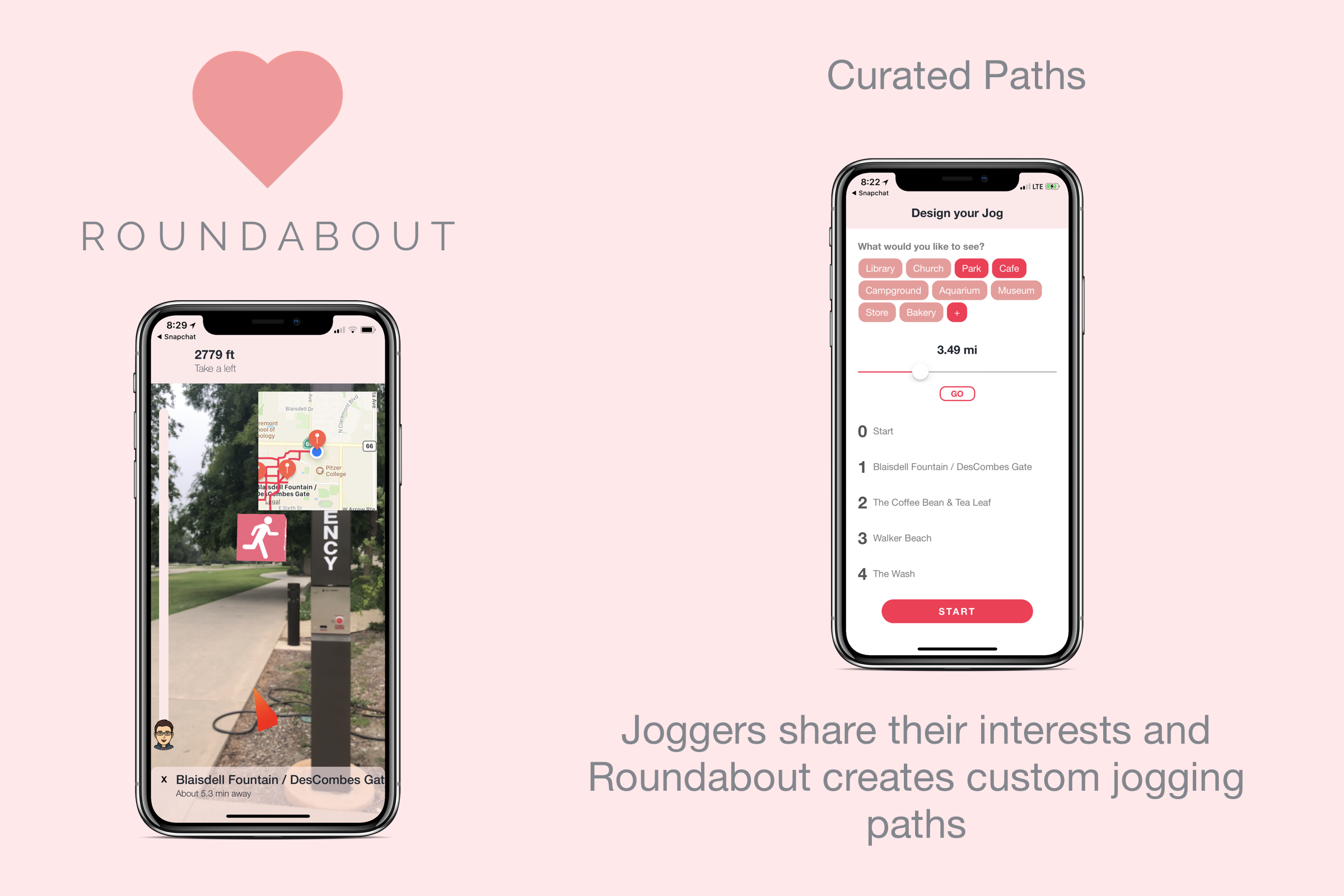
What it does
By incorporating the user's interests and needs into a jog, we generate paths that are new and exciting for users. Our AR and map based navigation system makes the path easy to follow and simultaneously gives the user chances to share their experiences on social media.
How we built it
Our path-making algorithm matches user's interests to locations on Google Maps using Google's Places API. Once a list of relevant places has been fetched, we create a graph and optimize a path that will fit the user's criteria for their jog while allowing them to visit interesting places. The path is then sent to our navigation system. Our navigation system uses ARKit to give the user physical directions which they can view through their camera. A small map in the corner also helps the user get to their destination.
Challenges we ran into
In combining AR with Maps, we ran into a number of issues in translating our coordinates between systems. We essentially had to work in three coordinate systems, AR coordinate (a vector), map coordinates (lat, long), and screen coordinates. We had issues translating between each of these, but luckily were able to figure it out after quite a few pages of scratch work.
What's next for Roundabout
We hope to add the option for companies to sponsor Roundabout and appear on paths for joggers. This will allows us to grow and launch with a valid business model!


Log in or sign up for Devpost to join the conversation.