-
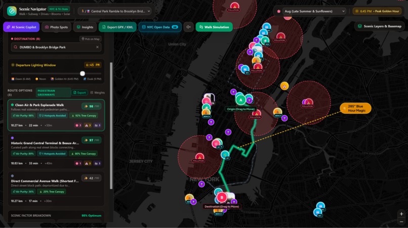
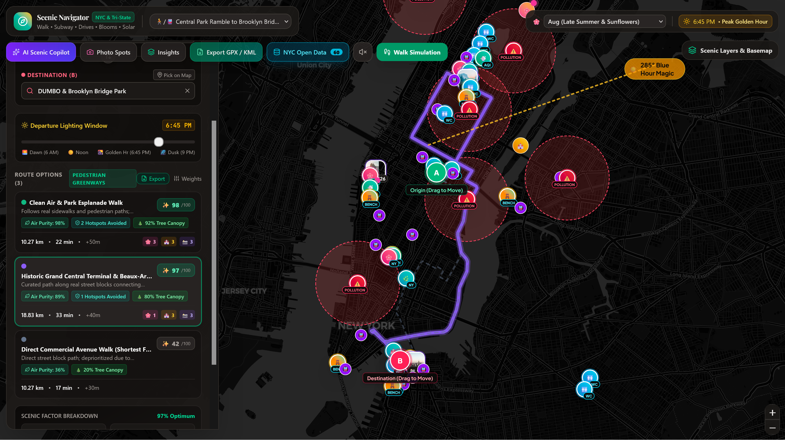
Clean Air Route
-
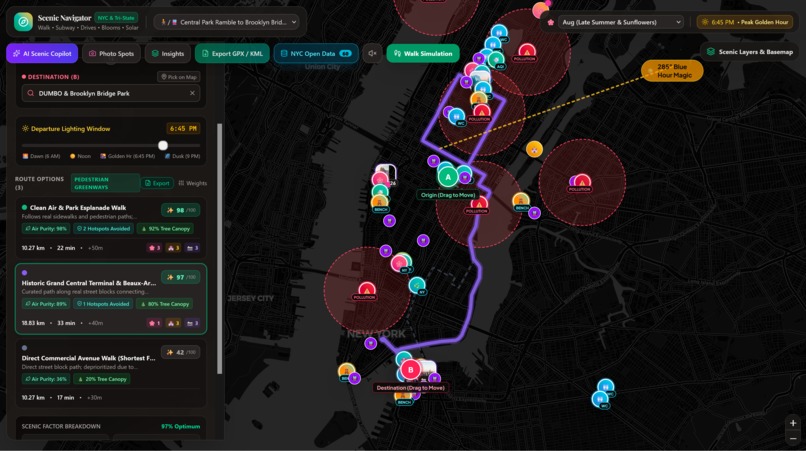
Landmark Route
-
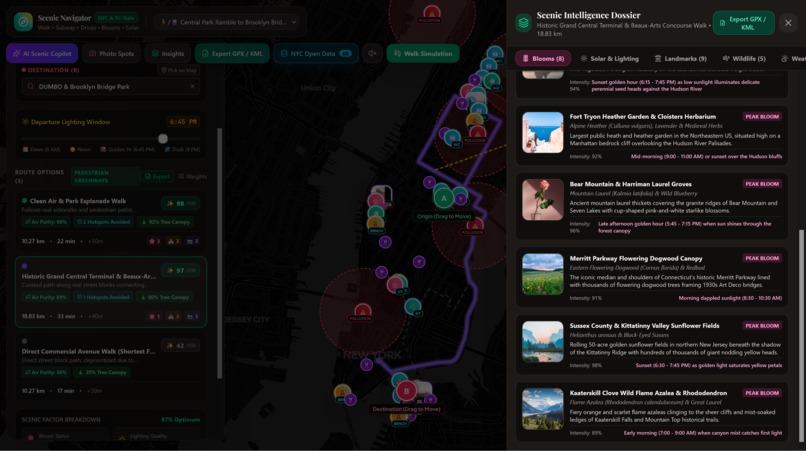
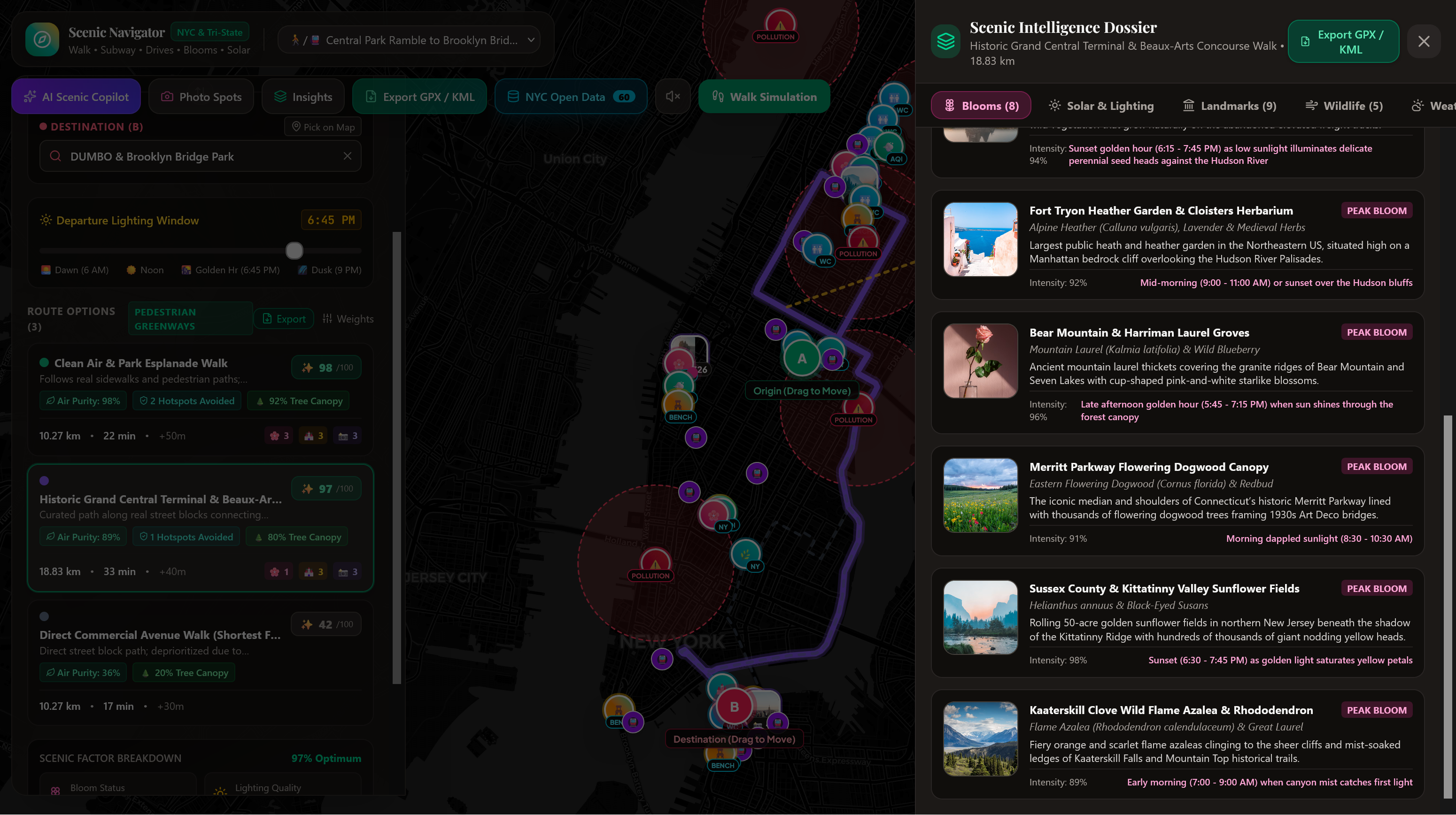
Scenic hotspots
Inspiration
I frequently go on walks with my grandma and one of the biggest issues she runs into is feeling tired midway. So, I started organizing walks along a route that I knew had multiple benches and bathroom breaks along the way. This worked well, but it was a struggle to navigate new spaces when we were on trips or even away from our neighborhood. To combat this, I created Roto.
What it does
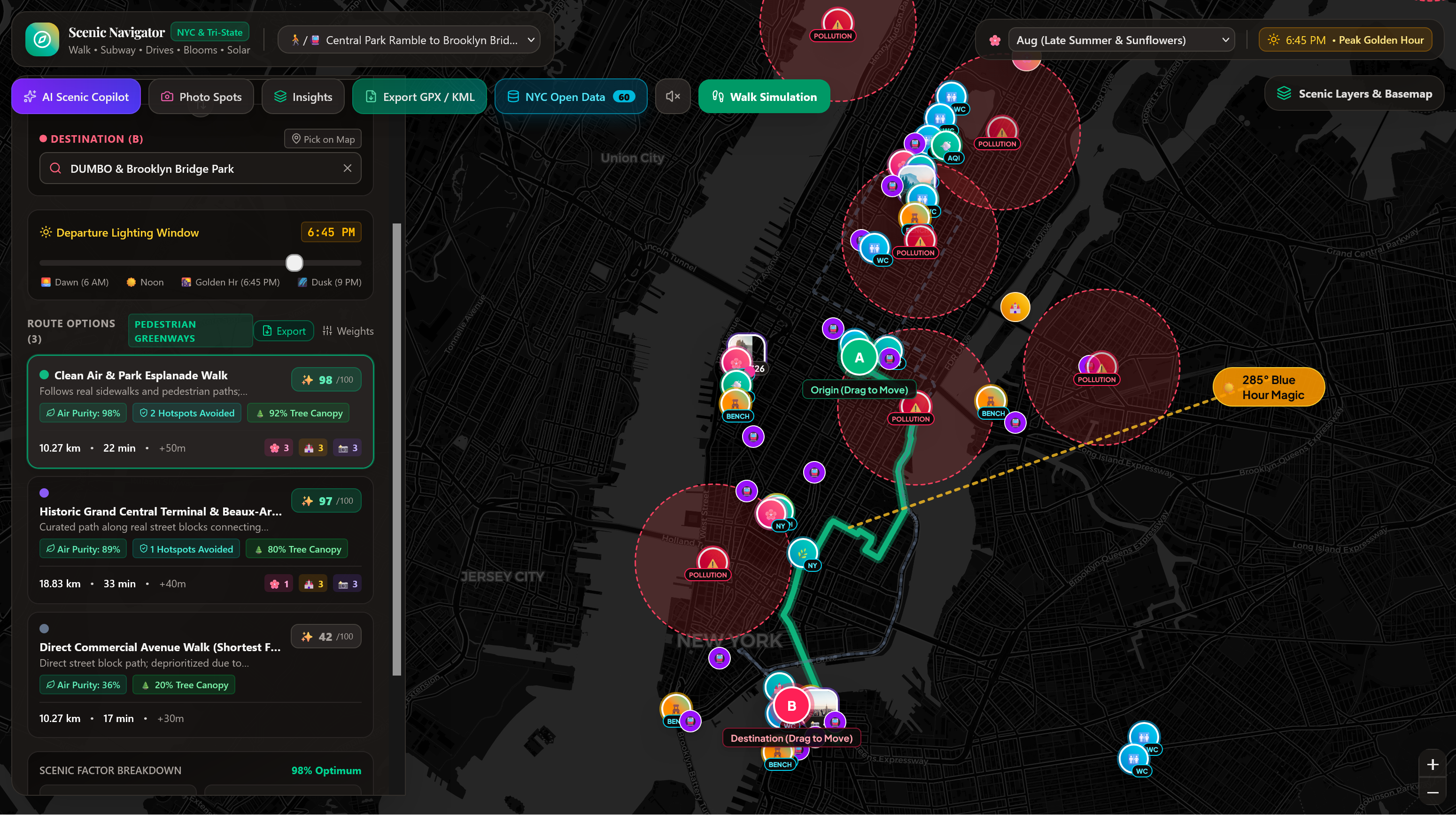
Roto integrates datasets into a traditional map to create a more functional navigator for scenic walks. More importantly, it notes public restrooms and benches for the most accessible walking route.
How we built it
Roto was built primarily using Google AI Studio and NYC Open Data. Through API integration, Roto synthesizes the most current city info to create the best walking route for users. The following datasets were used: 2015 Street Tree Census (Flowering & Canopy Trees), NYC Dot City Bench Locations (CityBench Program), Directory of NYC Public Park Restrooms, NYC Community Air Quality Survey & AQI Surveillance, NYC Parks Monuments & Public Memorials, Landmark Preservation Commission (LPC) Designated Landmarks, Urban Park Rangers Animal Condition & Wildlife Sightings, and GreenThumb Community Gardens & Greenstreets.
Challenges we ran into
Dataset integration was a bit of a hiccup. Initially, I wanted to manually upload the CSV files to save on token usage. However, the files were unsupported. So, I left integration to the end to manage processing. Another issue was implementing functional routes. The AI would create general directions that did not take street geography into account. That had to be re-worked a couple times in the program.
What's next for Roto
Adding more navigation features to support people with walking disabilities. Introducing routes that do not include stairs, or steps that people on wheelchairs can reasonably access without outside support.
Built With
- claude
- gemini
- googleaistudio
- nycopendata

Log in or sign up for Devpost to join the conversation.