-
-
Loading Screen
-
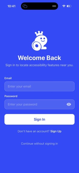
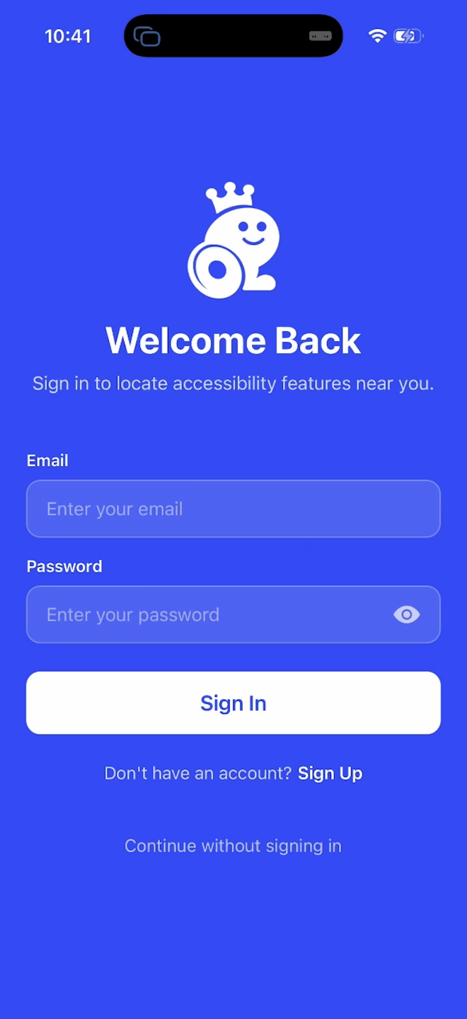
Login Screen
-
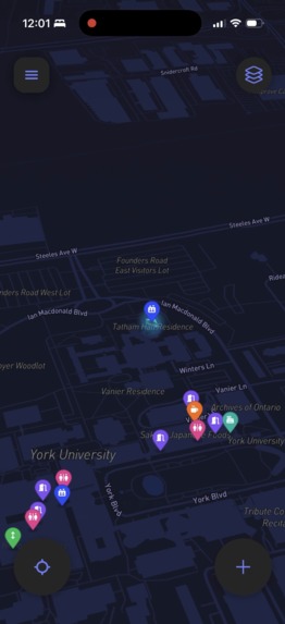
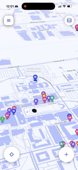
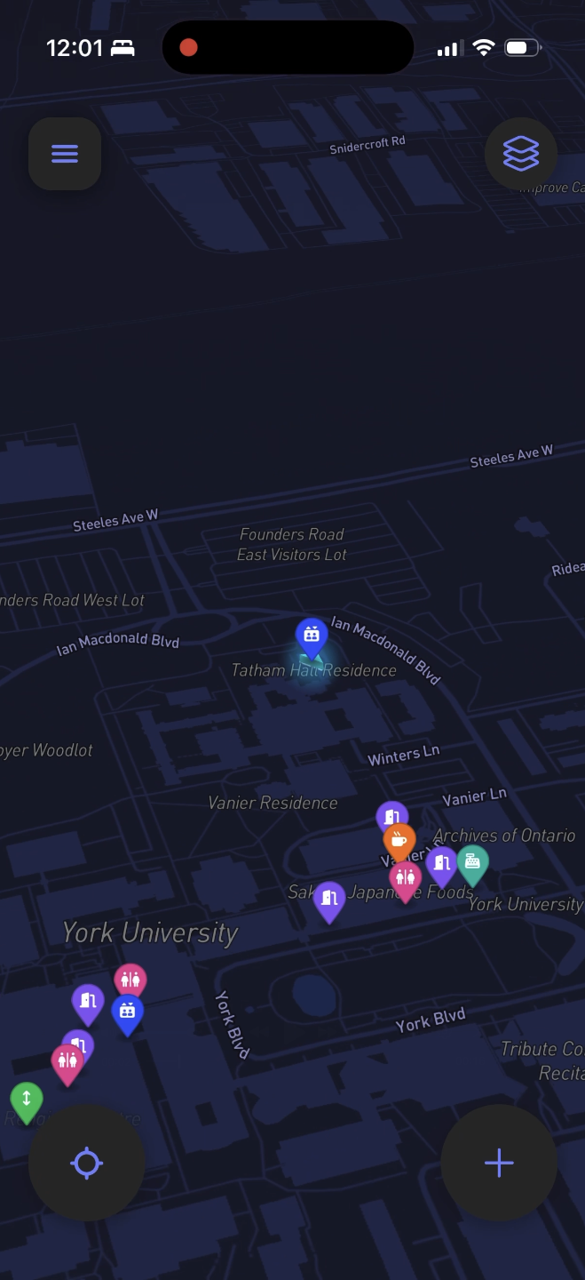
Main map
-
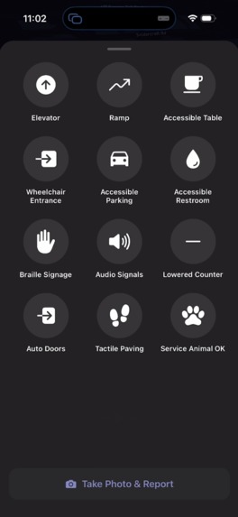
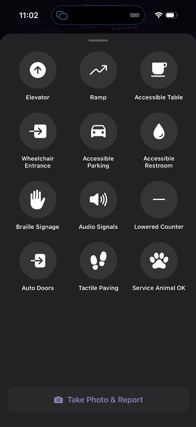
Report options
-
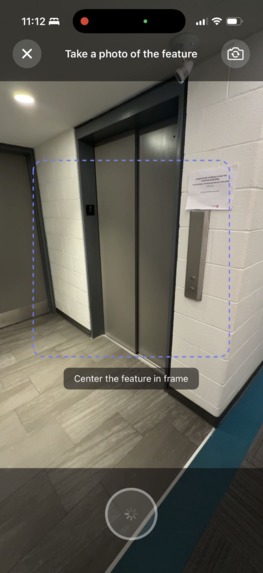
Making a report
-
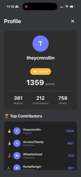
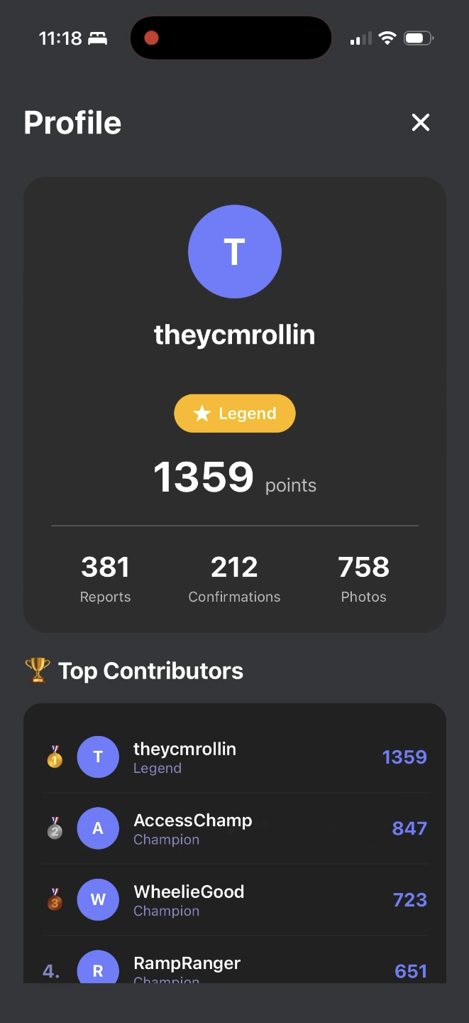
Leaderboard
-
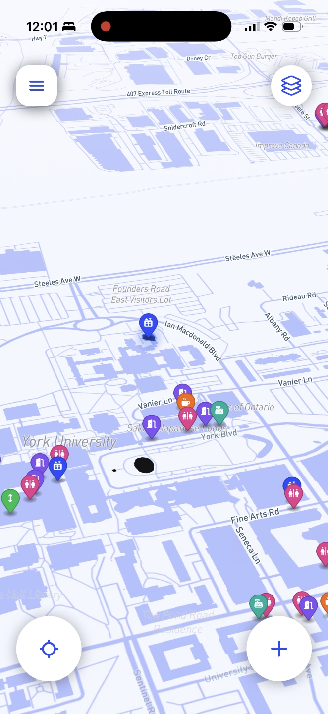
Light mode


Rolla — Making cities easier to navigate
How the project addresses the problem
Accessibility problems are often undocumented or inaccurately represented. A set of stairs, a broken elevator, or a blocked ramp can turn a normal route into a dead end, but that information rarely shows up correctly on maps. Rolla starts with Google Maps API location data to provide baseline coverage, but that data is often incomplete, outdated, or missing visual context, especially for accessibility details.
Rolla relies on users to curate and correct this information. Users can pin obstacles directly on the map and attach photos showing real conditions on the ground. Other users can see these reports immediately and plan around them, rather than relying on assumptions made by static map data.
Photos are summarized using image-based language models, so users can quickly understand the issue without inspecting every image themselves. The result is a map shaped by real usage and real evidence, rather than official accessibility labels that may not reflect current conditions.
Technologies used
- JavaScript
- React Native (Expo)
- Google Maps API for base map data, rendering, and markers
- MongoDB Atlas for data storage
- OpenRouter for image understanding and summaries
- Expo Go for device testing
- Git and GitHub for version control
- Reveal.js for the presentation
What we learned
The project forced us to prioritize reliability over features. We learned how to pass camera images from a mobile client to a backend service, process them with AI models, and return usable summaries without blocking the app. We also learned that relying solely on third-party map data is not enough for accessibility use cases without user validation.
Testing only in simulators hid many real issues, especially around networking and file handling on physical devices. For some team members, this was their first hackathon, which meant learning how to make tradeoffs quickly and decide what was worth finishing within the time limit.
Challenges and fixes
Mobile requests initially failed because the backend was bound to localhost. Phones could not resolve it. Binding the server to 0.0.0.0 and using LAN IPs fixed the issue.
Image uploads failed due to payload size limits. We increased Express JSON limits and reduced camera image quality to preserve useful detail while keeping requests stable.
Expo filesystem changes caused crashes. We switched to supported legacy APIs to avoid runtime errors.
Backend setup issues came from missing or mismatched dependencies. These were resolved by reinstalling and verifying each required package.
What we are most proud of
The project solves a problem that exists outside the hackathon environment. The system works end to end: users can submit reports, images are processed correctly, and results appear on the map in real time. The tool is useful not only for wheelchair users but also for parents with strollers, older adults, and anyone navigating unfamiliar areas.
Rolla turns individual accessibility issues into shared, practical information.
We plan to keep iterating on data quality, moderation, and map coverage.


Log in or sign up for Devpost to join the conversation.