Inspiration
Road hazards are a common part of life in Los Angeles. We have all seen potholes and damaged pavement around our school, and each of us has either been affected personally or watched someone else deal with the consequences. We created RoadWatch because a problem this visible should not be so difficult to report, coordinate, and repair.
What it does
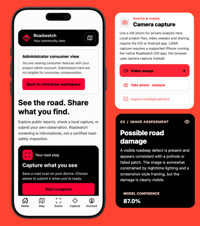
RoadWatch uses AI and street imagery to detect road hazards, classify their type and severity, and identify their location. It turns each detection into repair-ready information that can be prioritized, routed to the responsible stakeholder, assigned to a contractor, and tracked through completion.
How we built it
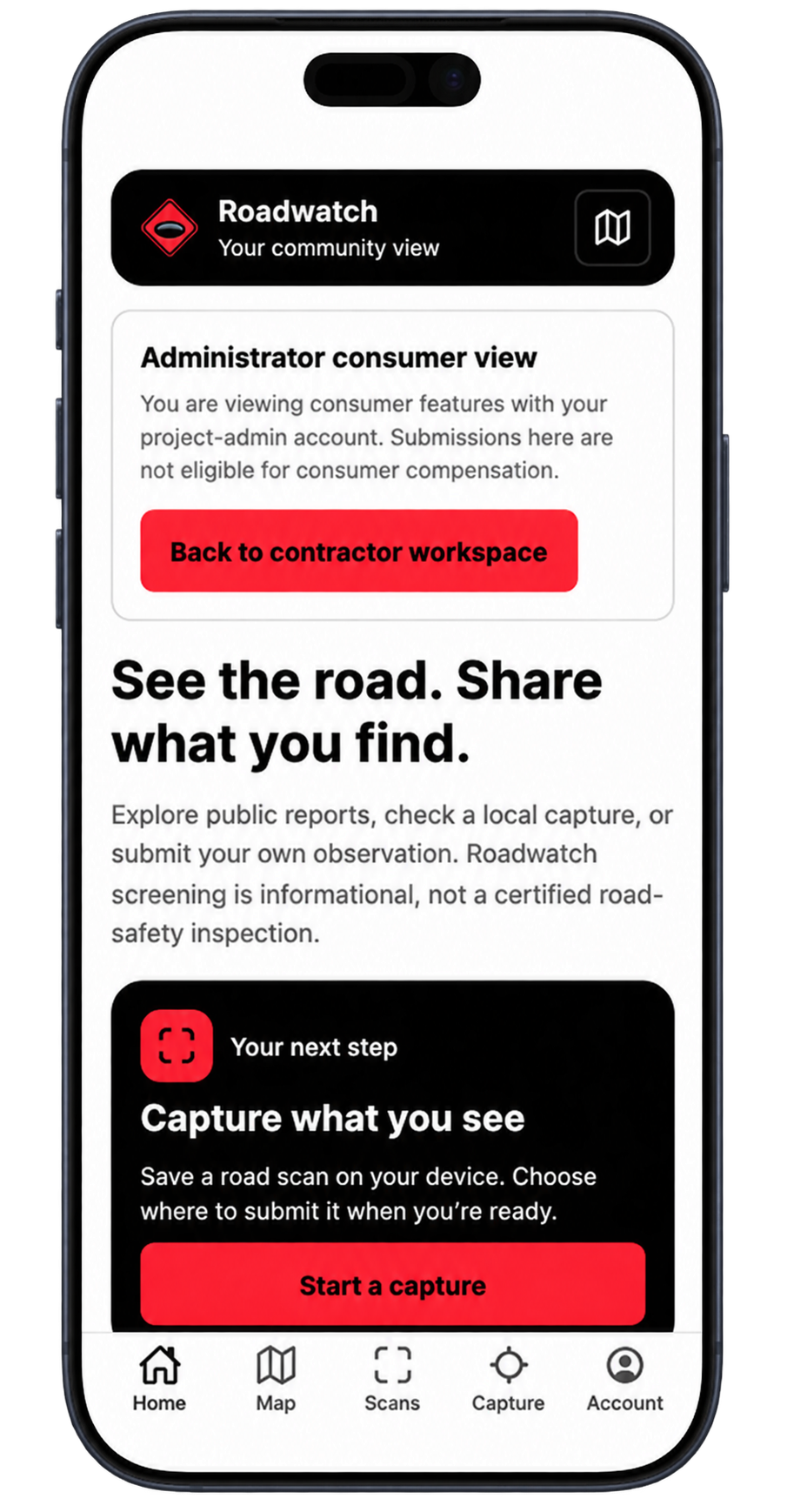
We built RoadWatch in Replit as a mobile-first reporting tool and centralized operations dashboard. Vision-language models analyze submitted road images, while the platform organizes each hazard by location, severity, ownership, repair responsibility, and status.
Our goal was to connect residents, government agencies, infrastructure owners, and contractors within one transparent workflow.
Challenges we ran into
Our biggest challenge was realizing that identifying a pothole is only the beginning. Repair work cannot start until the responsible stakeholder is identified, funding responsibility is established, and the right contractor is connected to the project.
We also had to design an experience that was simple enough for residents to submit reports but detailed enough for agencies and contractors to make repair decisions.
Accomplishments that we're proud of
We created a solution that connects the entire repair process instead of generating another disconnected list of road hazards.
We also completed five full customer interviews with a Caltrans representative, a Whiting-Turner professional, two general contractors, and a real estate developer. We gathered additional insights from Glendale Public Works and personal experiences with Los Angeles roads.
What we learned
We learned that detection accuracy alone will not solve the road-repair problem. Visibility, ownership, funding, and coordination are equally important.
Every stakeholder needs different information, but they all benefit from one shared record showing where the hazard is, how severe it is, who is responsible, who is repairing it, and whether the work has been completed.
What's next for RoadWatch
Next, we plan to test RoadWatch on a larger collection of real road images, improve our severity-ranking system, and integrate infrastructure-ownership data.
We also want to pilot the platform with a local agency or infrastructure owner, validate our pricing model, and expand detection beyond potholes to streetlights, utility poles, walls, and work-zone safety hazards.
Built With
- chatgpt
- claude
- cursoragent
- github
- replit

Log in or sign up for Devpost to join the conversation.