Inspiration
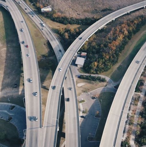
Car accidents are one of the leading causes of death in the US. Often, the ones blamed for such accidents are the ones who were driving, while the ones who created unintuitive, doomed to fail, roads are left unseen. I think roads should be created the way modern UI is; with no possible room for error, to the point where even the drunk and fatigued drivers have no worries.
What it does
Roader Reader is a machine learning based solution to the problem of crappy roads. By using maps of roads and their corresponding accident heatmaps, I plan to teach a convolutional neural network to determine how dangerous a potential road is. This solution not only works large-scale--with city builders to create roads--and short-scale--with mapping applications like Google Maps.
How I built it
The dataset used was Utah's Vehicle Collisions, which recorded all crashes in Utah from the previous 10 years. The images of maps can be generated using Google's Map API. And, most importantly, the machine learning library used was Google's Tensorflow in Python.
Challenges I ran into
Most of my challenges came from the dataset used, and also not knowing how mapping works. The latitude and longitude displayed were in 2 different types ones that ranged from 0-180 and another which I still don't know how it works.
Accomplishments that I'm proud of
The machine learning model that I had planned to use was finished, and in essence, all that's left is just feeding it data and training.
What I learned
I learned the intricacies of Convolutional Neural Networks and their opposite Transposed Convolutional Neural Networks.
What's next for Roader Reader
Moving forward, my project can be improved by switching to a simpler dataset. Also, to improve accuracy and remove errors, other factors can also be tracked, such as weather.
Built With
- python
- tensorflow

Log in or sign up for Devpost to join the conversation.