Inspiration
Cotonou's roads are in critical condition. Every day, potholes cause motorcycle accidents, damage vehicles, and slow emergency response times. Yet city authorities have no systematic way to know which roads are most dangerous or where to intervene first. RoadAI was born from this frustration — and the belief that AI can change that.
What it does
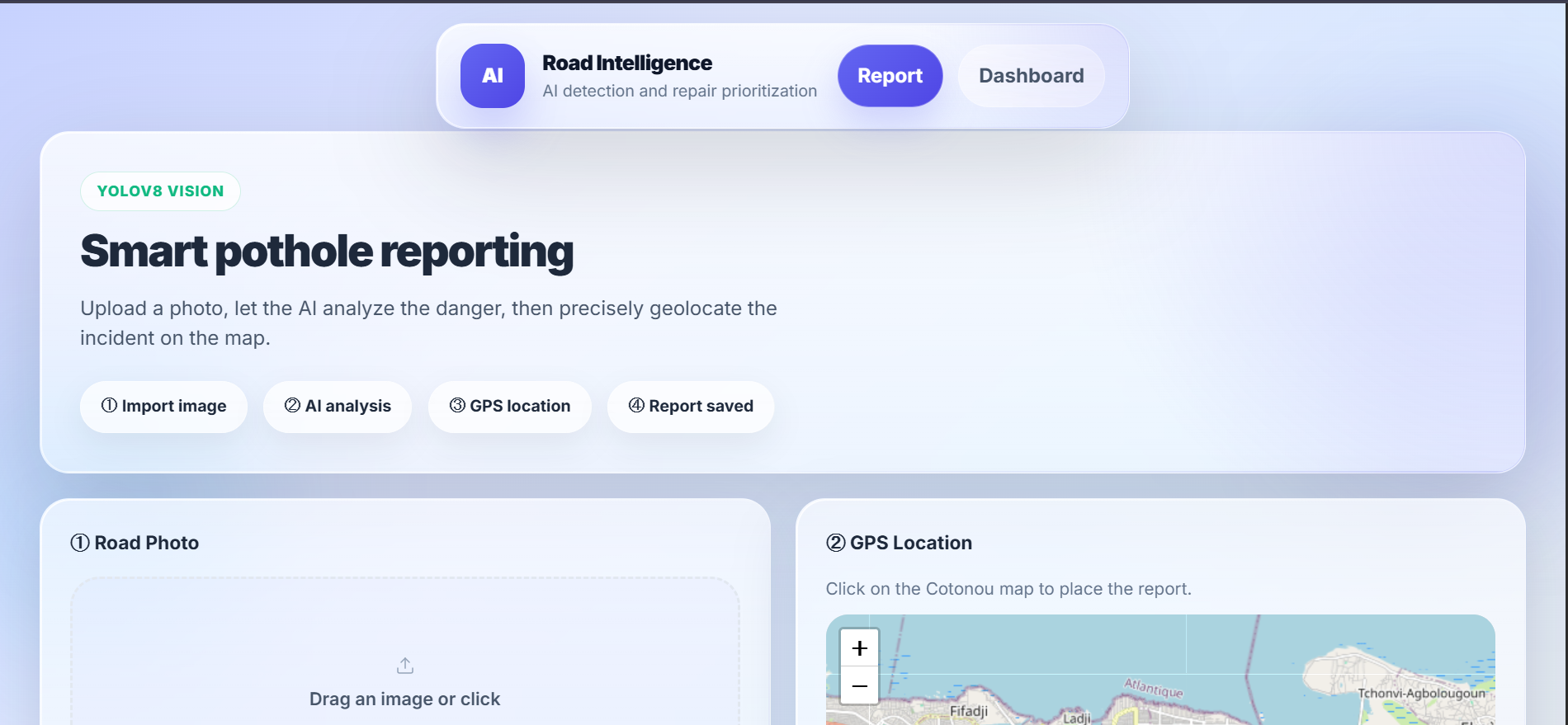
RoadAI is a dual-interface web app: Citizens upload a road photo → YOLOv8 detects potholes and computes a danger score City authorities access a dashboard showing all reports ranked by danger, a map of affected zones, and an optimal repair route generated by a greedy algorithm
How we built it
- YOLOv8 (keremberke/yolov8-pothole) for real-time pothole detection
- FastAPI + SQLite for the backend and data storage
- React + Leaflet.js for the interactive map and UI
- Greedy optimization algorithm to prioritize repair routes by danger score
Challenges we ran into
- Fine-tuning the confidence threshold — too low and motorcycles get flagged as potholes 😅
- Finding a pre-trained model that works on West African road conditions
- Building a full-stack AI app solo in under 48 hours
Accomplishments that we're proud of
- A fully working AI detection pipeline from photo upload to bounding box output
- A real optimization algorithm — not just a list, but an actual computed repair route
- Built and deployed solo in less than 48 hours
What we learned
- How to integrate YOLOv8 into a production FastAPI backend
- The importance of confidence thresholds in real-world computer vision
- That greedy algorithms are surprisingly powerful for route optimization problems
What's next for RoadAI
- Retrain YOLOv8 on Beninese road images for better local accuracy
- React Native mobile app with automatic GPS tagging
- Open API for other African cities to plug in
- Integration with municipal work order systems

Log in or sign up for Devpost to join the conversation.