-
-
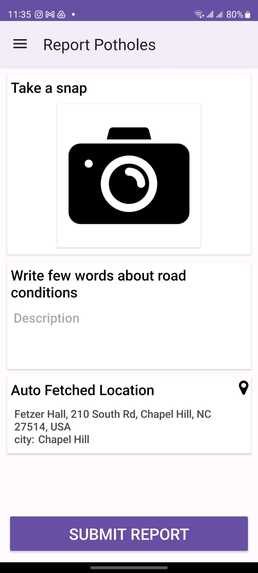
Mobile App Home page
-
-
-

Inspiration
While browsing the internet, we stumbled upon a shocking statistic: from 2018 to 2020, bad road conditions caused over 5,184 deaths in India alone. This staggering number highlighted a global issue that resonated deeply with us. Though there are existing methods to report road issues, such as helplines, their efficiency is often questionable. We saw an opportunity to harness technology to address this dire problem. Our vision? A user-friendly solution that not only simplifies the process of reporting hazardous roads but also empowers local governments with real-time data. This not only boosts community involvement but also offers administrators a dynamic dashboard to monitor issues and act swiftly
What it does
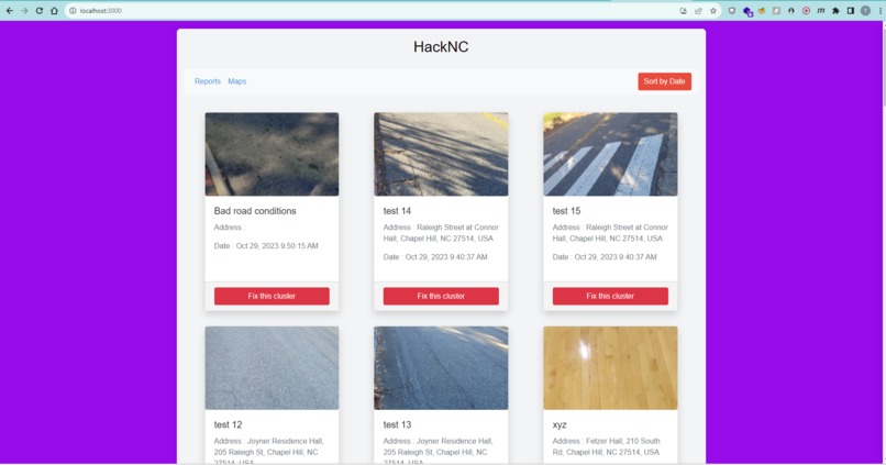
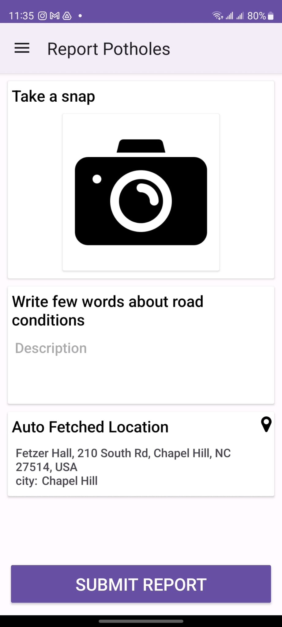
Our application streamlines the process of reporting road issues. With a single tap, users can snap a photo of a pothole or damaged road, and the app automatically logs its location. On the administrative side, a real-time dashboard displays these reports. Officials can then address the problems and once resolved, simply mark them as 'fixed' to update the database. Unique features include the ability to auto-remove duplicate reports or those within a 10m-100m radius, assuming nearby issues get resolved simultaneously. Plus, we've integrated a machine learning model that filters out irrelevant or inappropriate submissions based on image analysis.
How we built it
Building the Platform: Step-by-Step
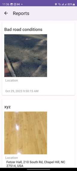
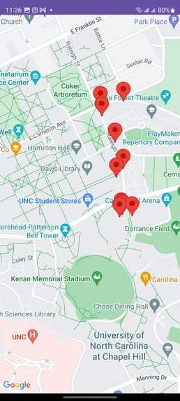
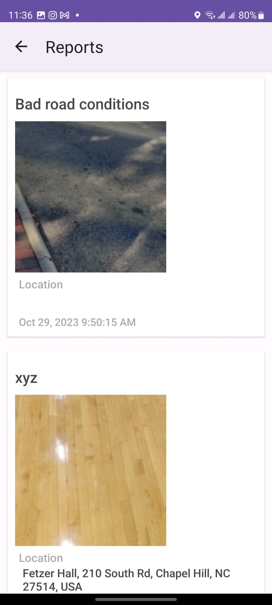
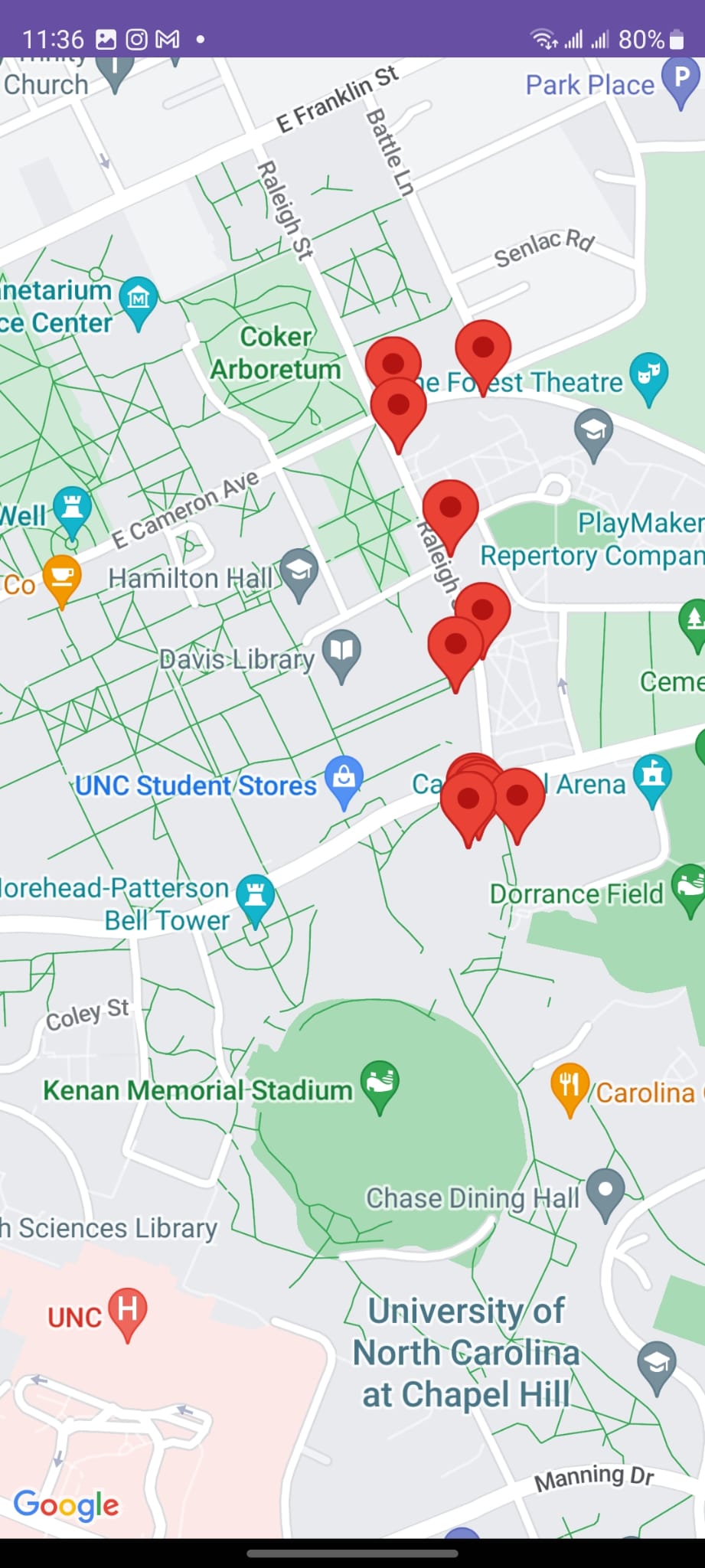
Mobile Application Development: • Utilized Java and the Android SDK to create an app where users can report road issues. • Integrated features for users to view current issues and their respective geo-locations on Google Maps. Web Application Creation: • Frontend: Developed using React.js for dynamic user experiences, with Bootstrap for responsive design. We also have features developed for the admins to sort the data by date , view on map etc. • Backend: Powered by Firebase Cloud Functions to handle real-time data processing tasks. Database & Storage: • Chose Firebase Real-time Database for storing and retrieving road issue reports. • Used Firebase Storage for holding the images of the reported issues. Machine Learning Integration: • Deployed a pre-trained TensorFlow model, named Mobilenet, to classify images. • The model discerns between road-related and non-road-related images, ensuring data relevance. Automated Cloud Functions: • On the web portal, when an admin marks an issue as fixed, a Firebase Cloud Function activates. • This function deletes the addressed report and any related reports within a 10m-100m radius, working on the assumption that addressing one issue likely resolves nearby ones. • Every new image upload triggers another function. This checks the image's relevance using the ML model. If deemed unrelated to roads, the system auto-deletes both the image and its database entry.
Challenges we ran into
ntegrating ML models into Firebase felt like solving a tricky puzzle – challenging but rewarding! We had a few hiccups with our web portal's design, redoing it more times than we'd like to admit. And while our journey started on a sleep-deprived note after our trip from Charlotte, trusty coffee and some One Direction jams kept our spirits high and fingers typing! 🎶☕
Accomplishments that we're proud of
We were able to develop three challenging products Mobile application , web application and well thought backend functions with advanced functionalities in the given time frame , and Our app makes road reporting swift and accurate, bridging communities and officials with real-time data and smart automation
What we learned
Our journey underscored the importance of preparation and collaboration. We discovered that clear planning and seamless communication can make the difference between smooth sailing and choppy waters, especially in hackathon settings.
What's next for Road Guardian
We're gearing up to supercharge our ML models and refine our admin dashboards, aiming for pinpoint accuracy and visually compelling data representation


Log in or sign up for Devpost to join the conversation.