-
-
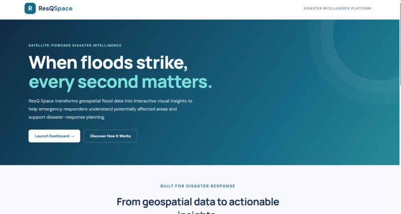
ResQSpace — AI-Powered Flood Response Dashboard
-
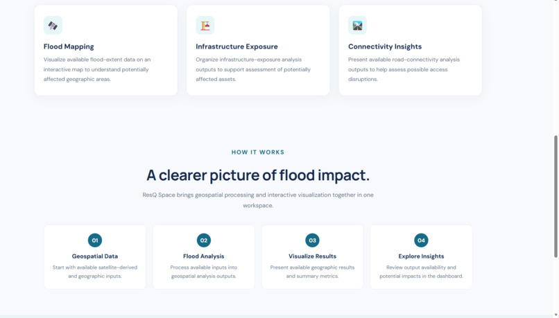
Satellite-Based Flood Mapping and Risk Visualization
-
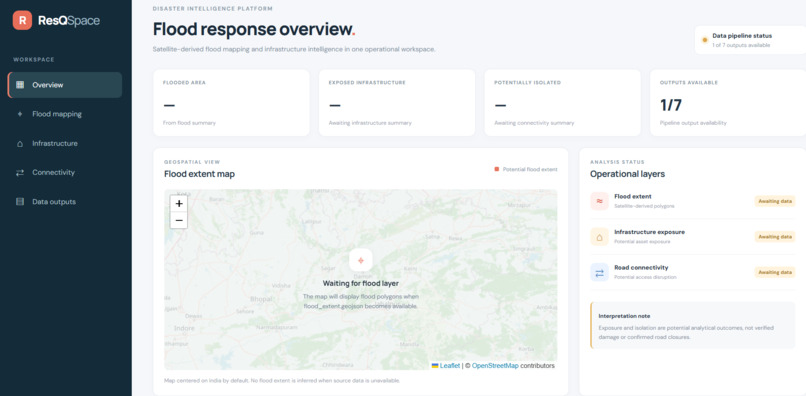
Flood Risk Insights for Smarter Disaster Response
Inspiration
Floods can cause severe damage to homes, infrastructure, and communities. During disasters, emergency responders need timely and reliable information to identify high-risk areas and prioritize rescue efforts. We were inspired to explore how satellite imagery, geospatial technology, and AI-powered analysis could help turn complex disaster data into actionable insights.
What It Does
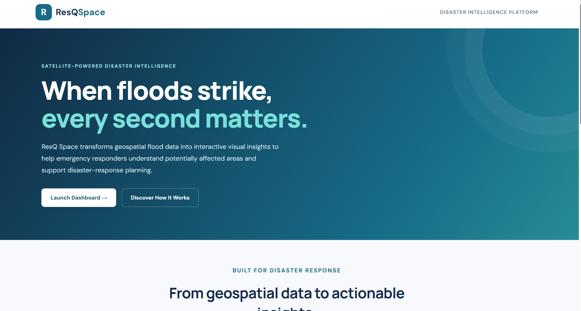
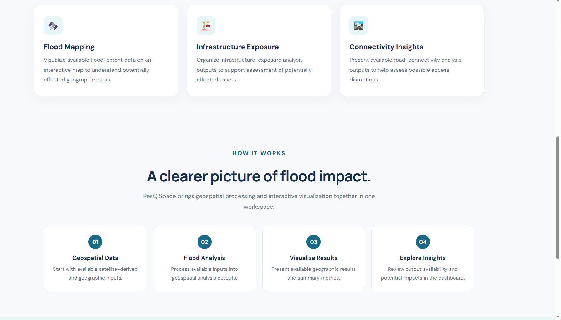
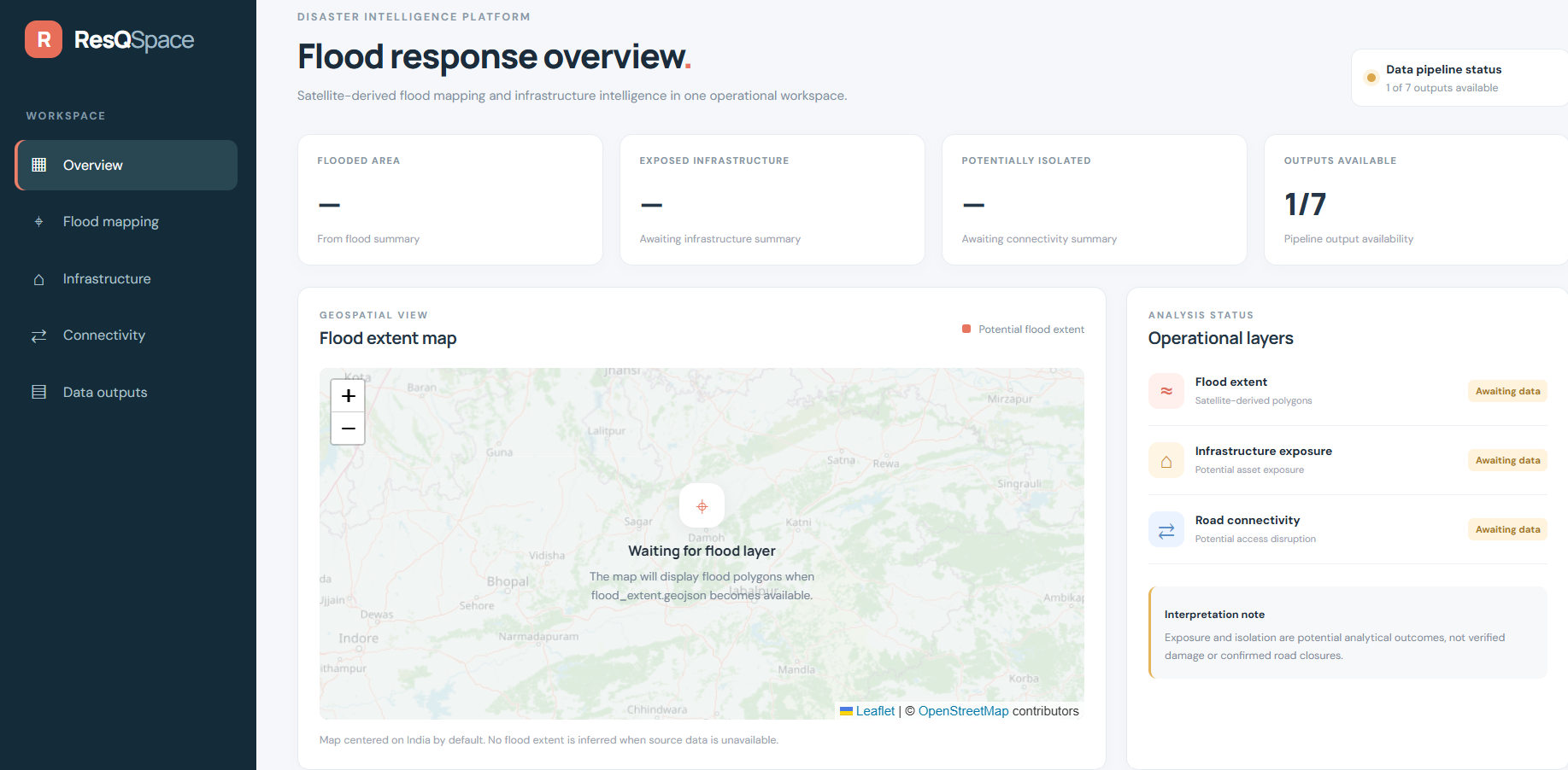
ResQSpace is a flood-response and satellite disaster intelligence platform designed to support disaster monitoring and response. It brings important information into one place through an interactive dashboard.
Key features include:
- Satellite & Geospatial Data: Helps visualize geographical information relevant to flood monitoring.
- Flood Risk Visualization: Displays flood-related information to help identify potentially affected areas.
- Interactive Dashboard: Presents disaster-related insights in an accessible interface.
- AI-Powered Disaster Intelligence: Designed to support the analysis and interpretation of disaster information.
- Situation Report Generation: Helps organize important findings into structured reports for easier review.
How We Built It
We approached ResQSpace as a web-based disaster intelligence platform, combining frontend development, backend integration, geospatial visualization, and AI-oriented functionality. Our goal was to create a clear workflow in which users can explore flood-related information, view insights on a dashboard, and access organized reports.
Challenges We Faced
One of the key challenges was bringing different types of geospatial and disaster-related information into a single, understandable interface. We also considered the importance of presenting risk information clearly, designing a useful dashboard, and connecting the different parts of the application into a cohesive workflow.
What We Learned
Building ResQSpace helped us understand how web development and geospatial technologies can be applied to real-world challenges. We gained experience in project planning, interface design, system integration, and thinking about how technology can support emergency response and decision-making.
What's Next
Our future goals include improving flood-data integration, strengthening geospatial analysis, refining risk visualization, and exploring more advanced AI capabilities to make ResQSpace more useful for disaster-response teams.
ResQSpace — Turning Data Into Faster Help.
Built With
- artificial-intelligence
- data-visualization
- flood-mapping
- geospatial
- javascript
- python
- react
- satellite-imagery
- web
- web-development

Log in or sign up for Devpost to join the conversation.