Inspiration
Disaster response systems are often slow, fragmented, and unable to adapt to real-time conditions like road blockages, congestion, or infrastructure failure. We were inspired by the idea that during emergencies, even a few seconds of delay can cost lives. This led us to build resQNet, a system that uses graph-based optimization to make evacuation and rescue routing faster, smarter, and more adaptive.
What it does
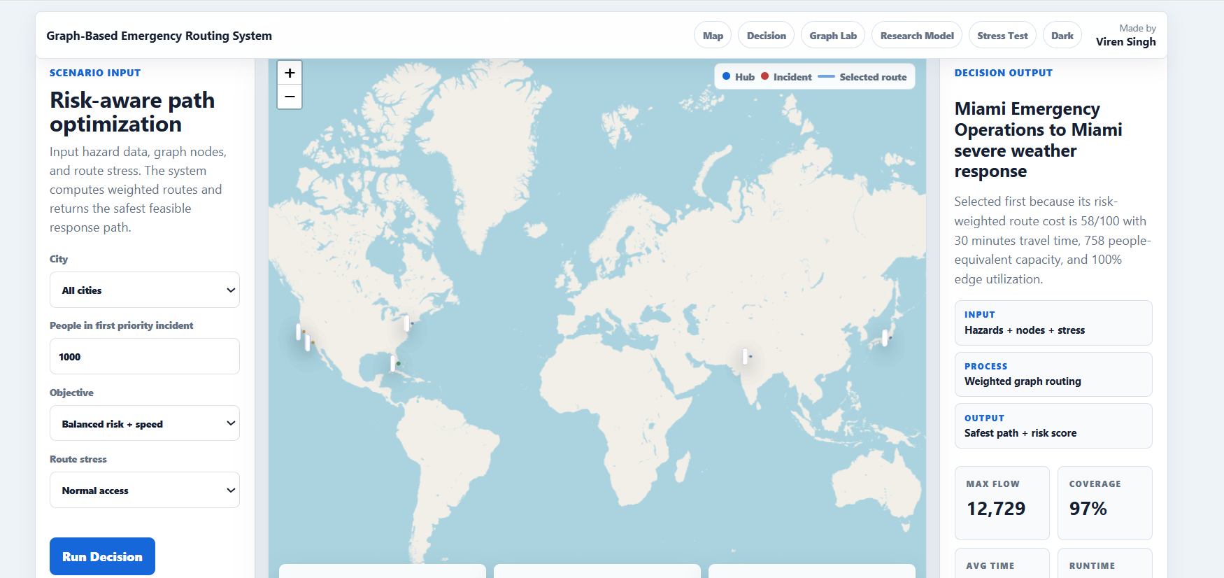
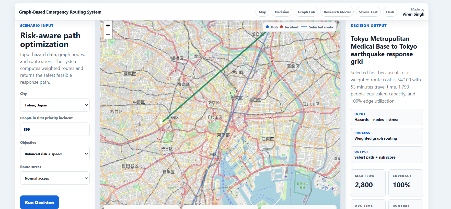
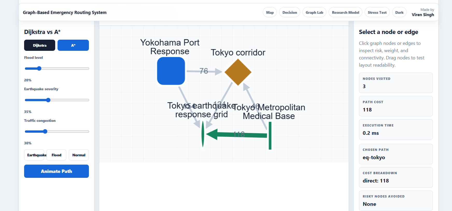
resQNet is a real-time disaster response optimization system that models cities as dynamic graphs, where nodes represent locations and edges represent routes with changing risk levels. It computes optimal evacuation and rescue paths by balancing safety and time efficiency.
How we built it
We built resQNet using a graph-based backend architecture where city maps are converted into weighted graphs. We implemented shortest-path and risk-aware routing algorithms (extensions of Dijkstra/A*) and layered real-time updates for edge weights based on simulated disaster conditions.
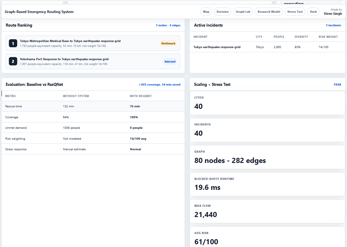
We also integrated data visualization tools to simulate evacuation scenarios and test route stability under dynamic conditions.
Challenges we ran into
One major challenge was handling constantly changing graph weights while maintaining real-time performance. Traditional shortest path algorithms break under frequent updates, so we had to redesign parts of the system to support incremental recalculation without recomputing the entire graph.
Another challenge was balancing safety vs speed in a way that remained mathematically stable under different disaster intensities.
Accomplishments that we're proud of
We successfully built a working prototype that dynamically adjusts routes under simulated disaster conditions and consistently identifies safer and faster evacuation paths compared to baseline shortest-path methods.
We also structured the system to be extensible for real-world integration with GIS and emergency APIs.
What we learned
We learned how to apply graph theory and optimization techniques to real-world crisis scenarios. We also gained experience in handling dynamic systems, algorithm tuning, and trade-offs between computational efficiency and safety constraints.
Most importantly, we learned how system design choices directly impact real-world outcomes in high-stakes environments.
What's next for resQnet
Next, we plan to integrate real-world GIS and live disaster feeds (weather, seismic, traffic APIs) to make the system deployment-ready. We also aim to collaborate with NGOs and emergency response teams for pilot testing and further validation.
Future versions may include multi-agent coordination, predictive disaster modeling, and reinforcement learning-based route optimization.

Log in or sign up for Devpost to join the conversation.