Inspiration
Emergency vehicles often get delayed due to traffic congestion, unplanned roadblocks, and a lack of public awareness. These delays can cost lives. We were inspired to build ResQMap to address this critical problem using AI and the power of the Google Maps Platform.
What it does
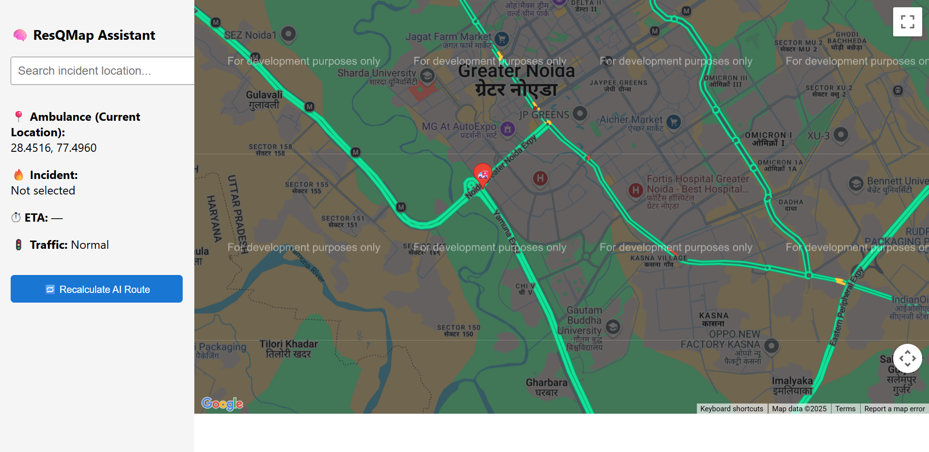
ResQMap is an AI-powered emergency navigation system that: Predicts traffic congestion and roadblocks ahead of time Suggests optimized routes for ambulances and fire trucks Sends geo-fenced alerts to civilians in affected zones Displays real-time high-risk zones using heatmaps
How we built it
Frontend: React + Google Maps JavaScript API Backend: Node.js (Express) + Firebase AI Models: Python (scikit-learn, TensorFlow) for traffic prediction & clustering APIs Used: Google Maps Directions API, Traffic Layer, Places API, Heatmaps, Roads API Database: Firebase Firestore
Challenges we ran into
Accessing and training ML models with limited open traffic data Ensuring accurate congestion prediction across varied geographies Maintaining real-time map updates and low-latency alerts Designing an interface that remains simple during high-stress use cases
Accomplishments that we're proud of
Built an intelligent, scalable system that could save lives Integrated multiple Google Maps services into a cohesive experience Developed an AI model that predicts traffic congestion with promising accuracy Created a public alert mechanism that works in real time with location awareness
What we learned
How to apply AI in real-world geospatial problems How to fully leverage the Google Maps Platform for dynamic routing and visualization Importance of user-friendly design in emergency scenarios Techniques for combining machine learning, maps, and real-time systems
What's next for ResQMap – Intelligent Emergency Navigation System
Integrate with local government or hospital APIs for real-time incident reporting Add voice and SMS-based alerts for accessibility Deploy a mobile app version with public safety features Open source core modules to support civic tech innovation


Log in or sign up for Devpost to join the conversation.