-
-
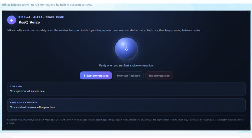
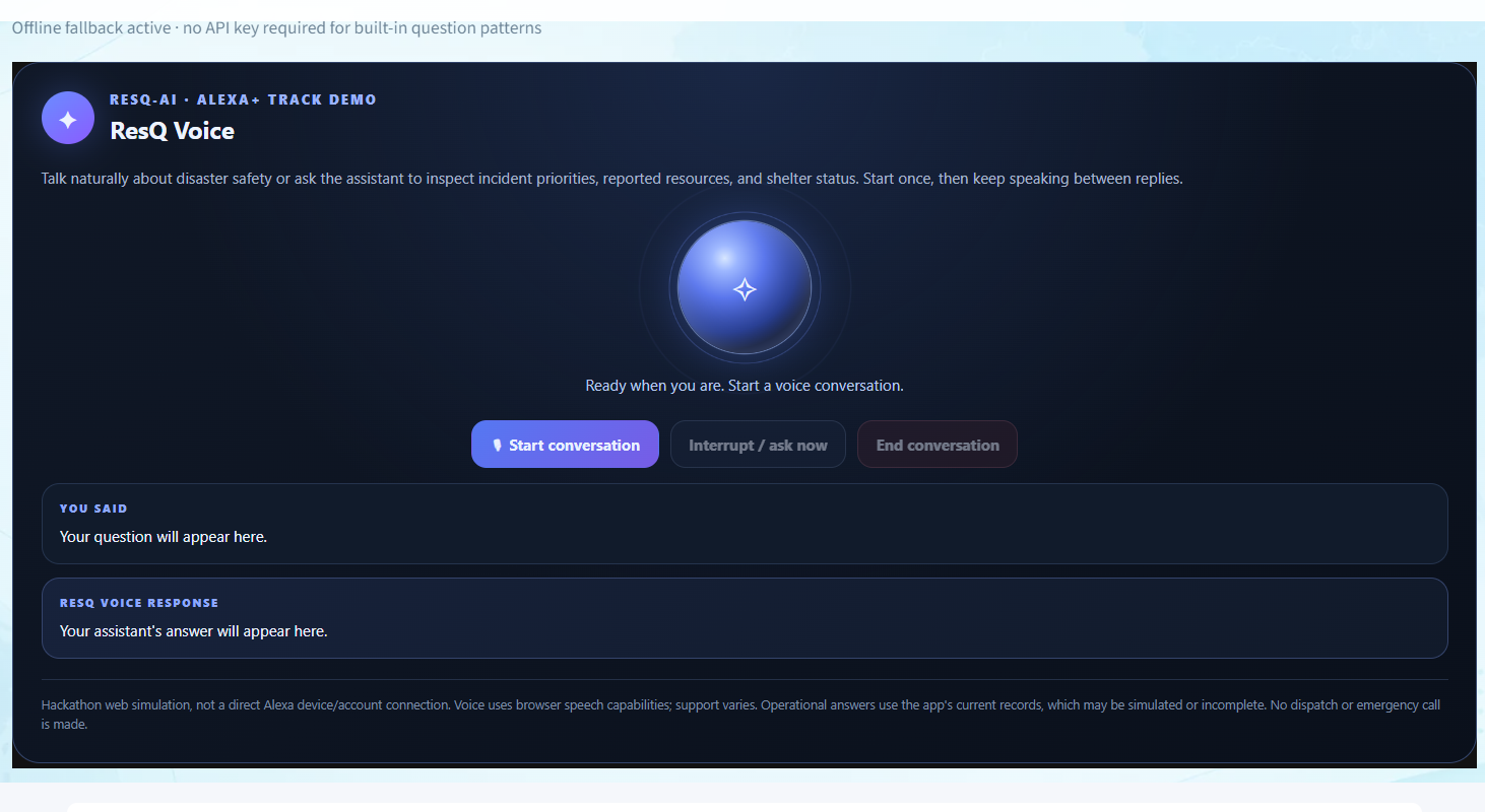
ResQ Assistant & Tools: Built-in assistant interface providing routing, resource tracking, and scenario simulation tools.
-
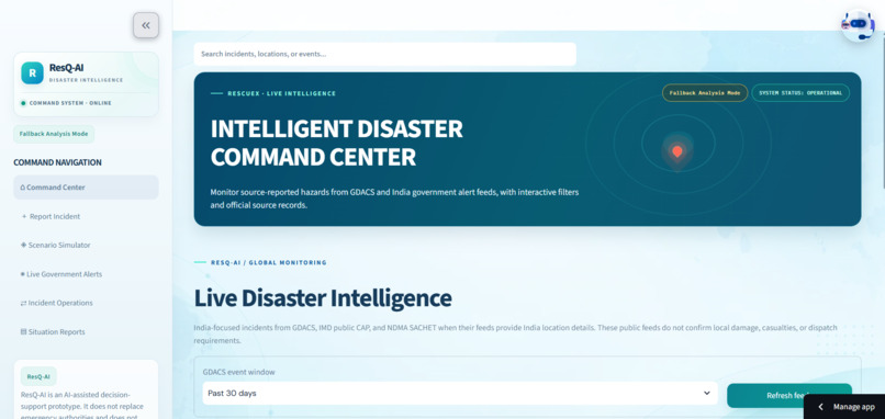
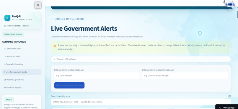
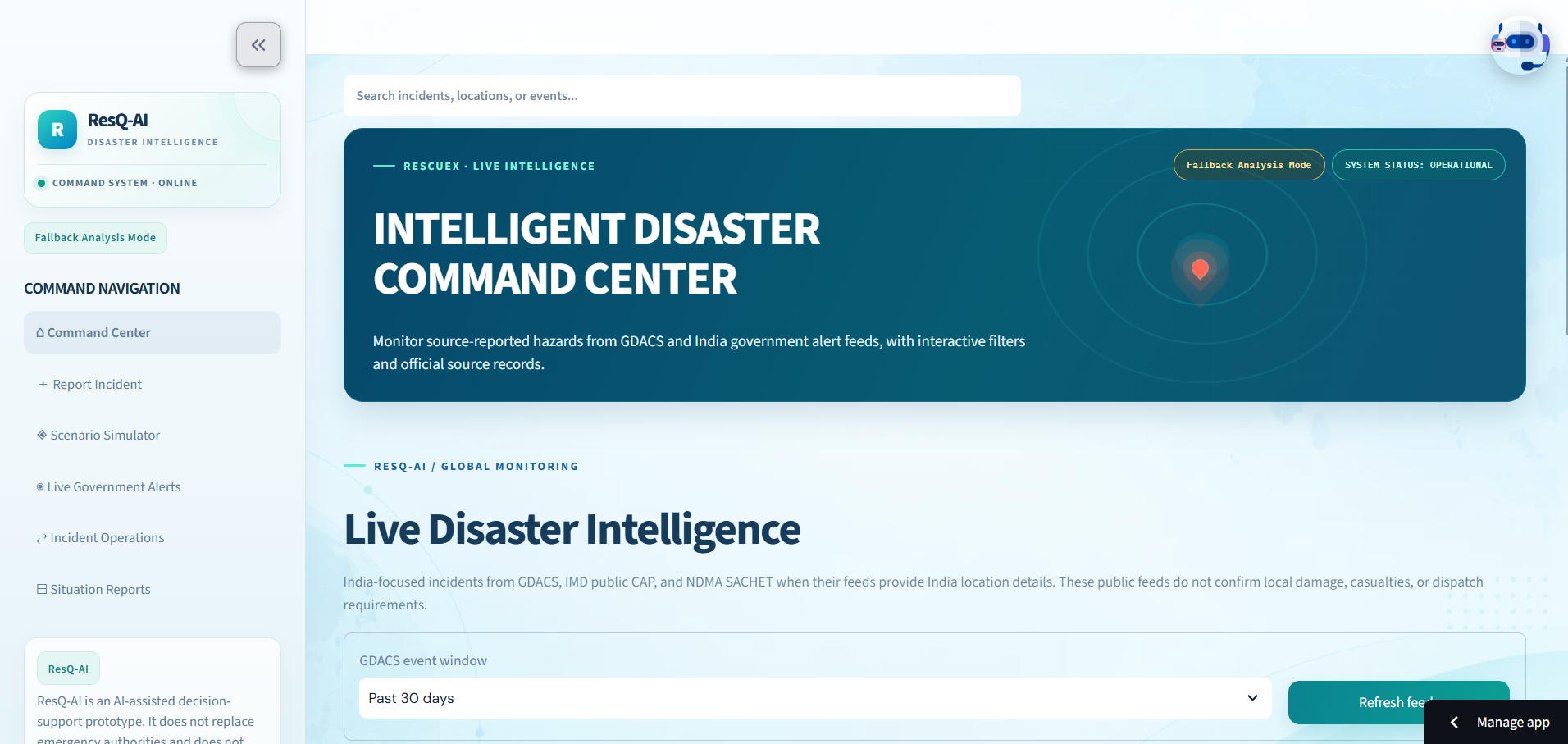
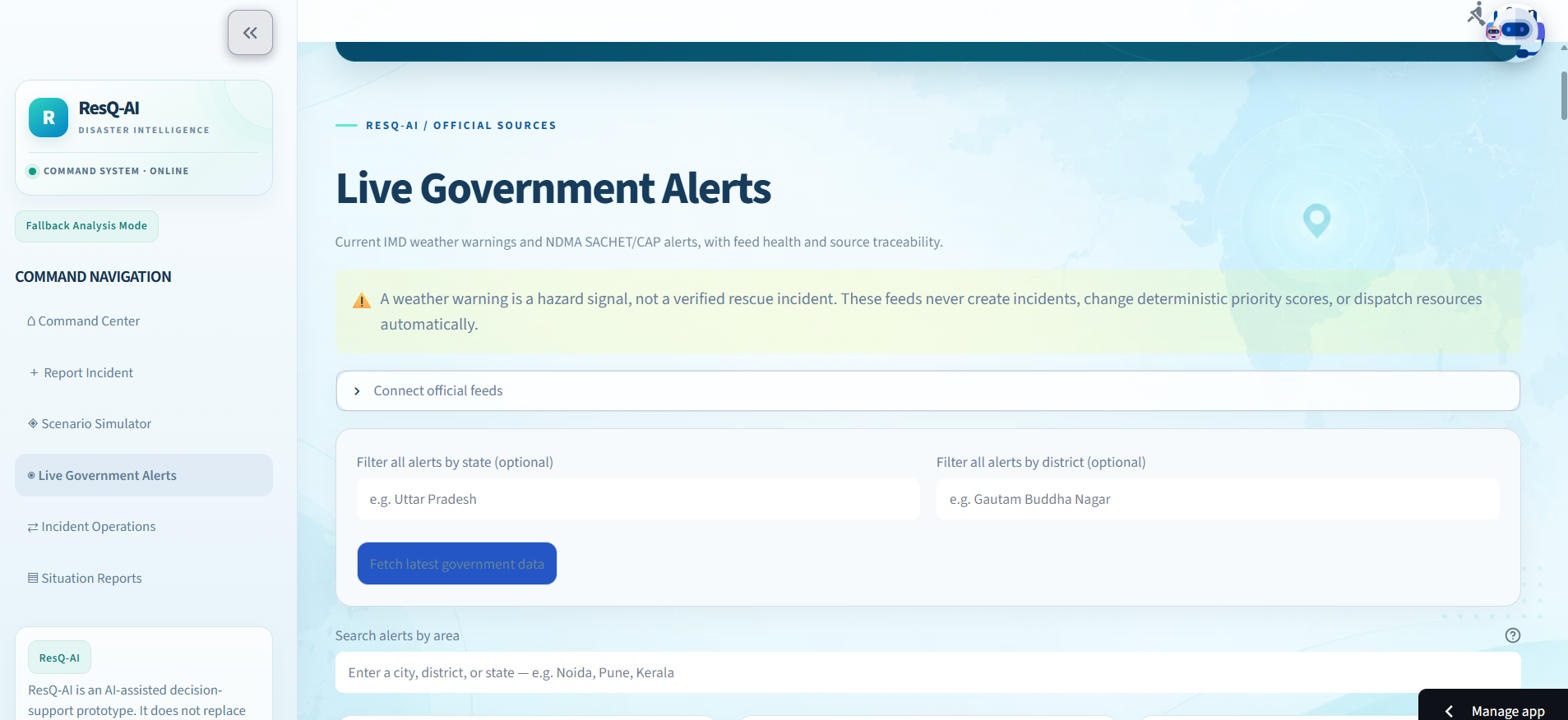
Dashboard Overview: Main disaster intelligence dashboard displaying live alerts, filtering options, and system summaries.
-
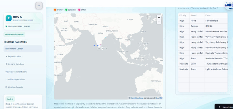
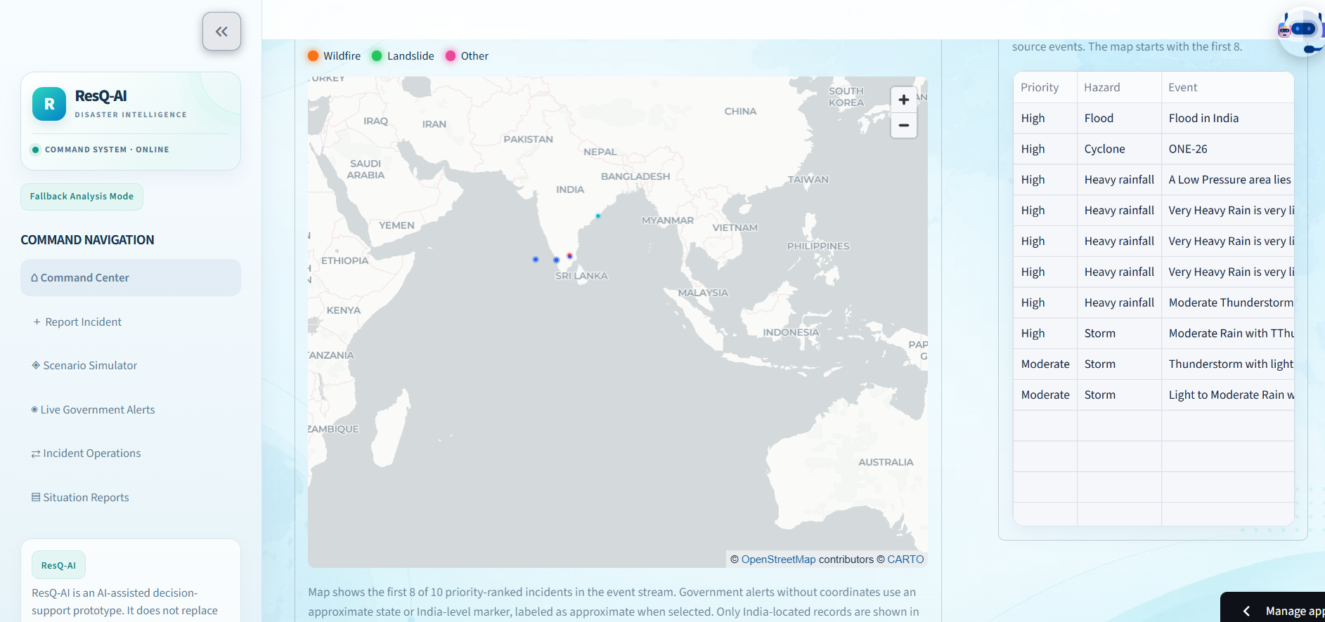
Live Disaster Map: Interactive map interface tracking hazards and incident reports across target regions.
-
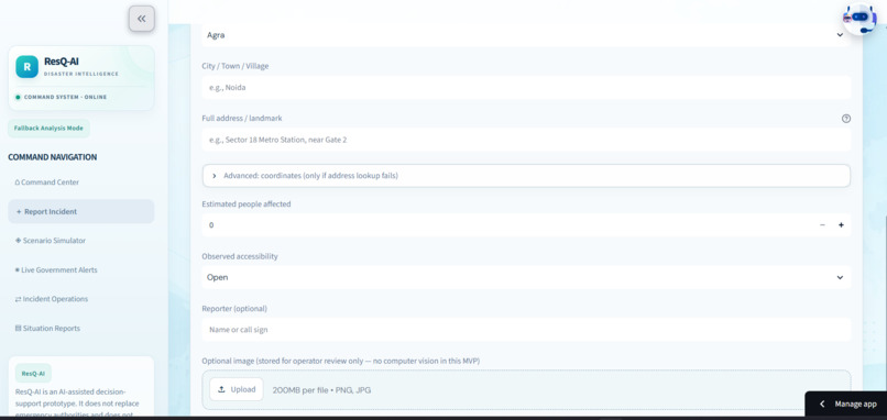
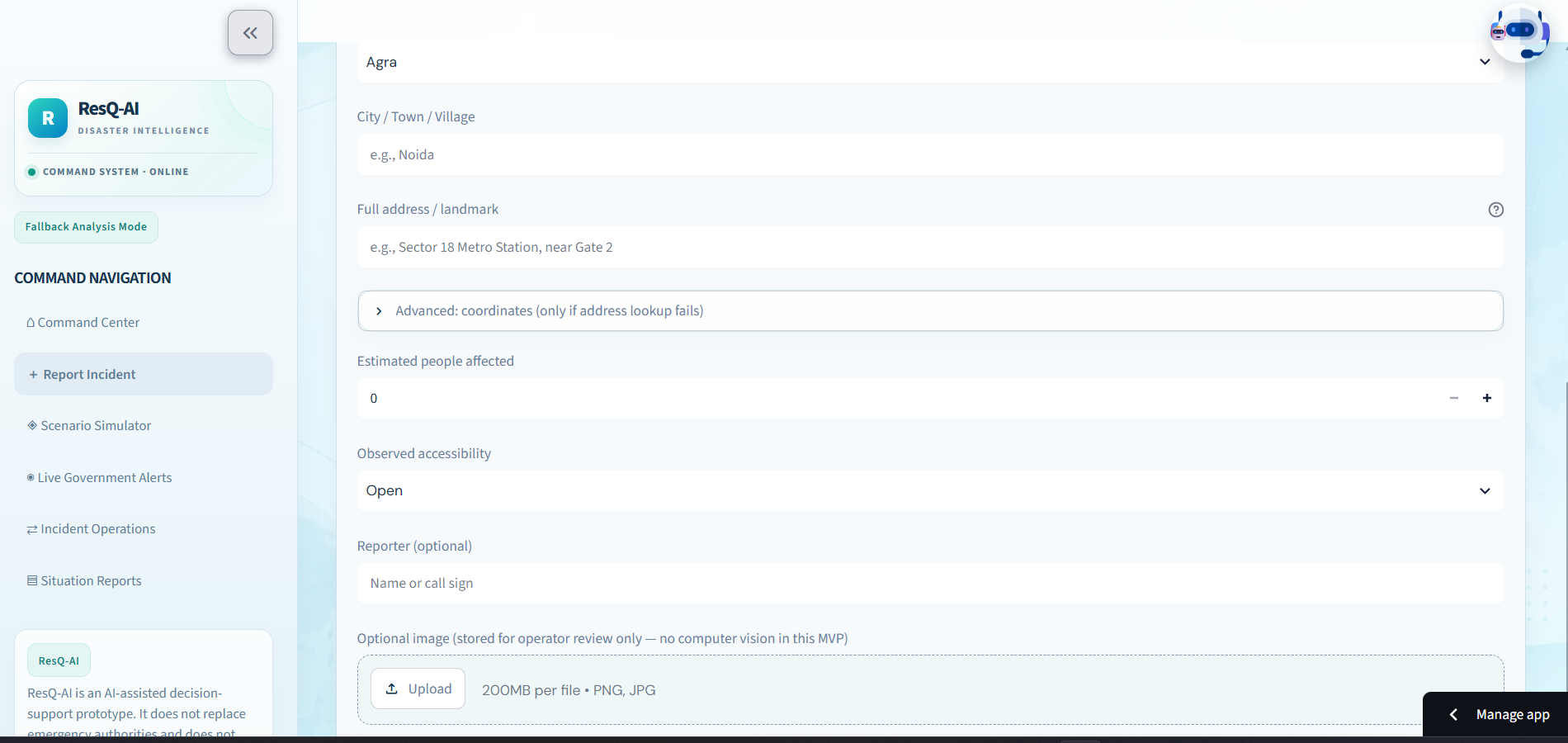
Incident Reporting Panel: Structured form for capturing incident details, severity, and affected population estimates.
-
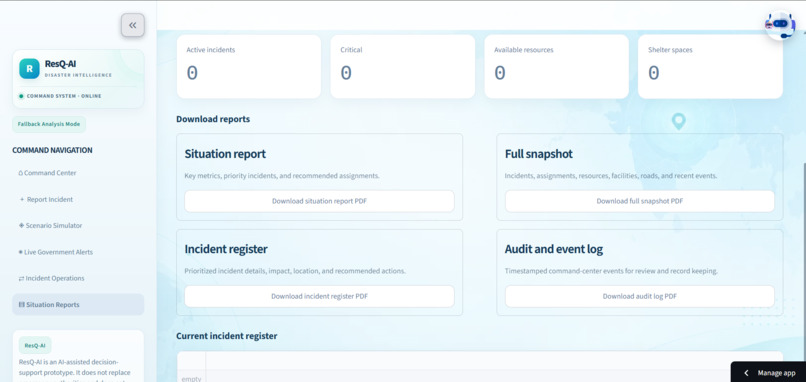
Resource & Shelter Information: Directory view displaying nearby relief camps, medical aid, and available emergency assets.
-
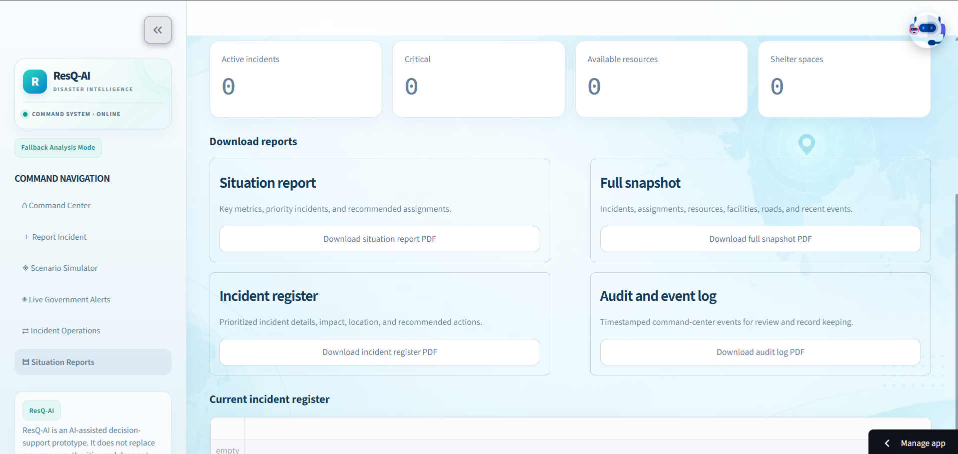
Analytics & Reports Panel: Data summary view providing historical hazard trends and impact metrics.
ResQ-AI: Intelligent Disaster Response
Inspiration
- Floods in Nepal and Bihar highlighted the challenges of identifying affected areas, estimating how many people need help, and coordinating timely rescue efforts.
- We wanted to bring disaster information and incident reports together so users could better understand where help may be needed.
What It Does
-Live Disaster Intelligence: Displays India-focused hazard information from GDACS, IMD, and NDMA-related sources, with 7-, 30-, and 90-day monitoring windows, an event stream, and a map.
- Incident Reporting: Captures incident descriptions, affected population estimates, latitude and longitude, accessibility status, and optional reporter details and images.
- AI-Assisted Prioritization: Analyzes submitted incident details and assigns a priority to support review.
- Additional Tools: Includes scenario simulation, resource and shelter information, route planning, analytics, and a ResQ Assistant.
How We Built It
- Built the web application using Python and Streamlit.
- Integrated disaster-information sources and map-based event visualization.
- Added structured incident reporting and AI-assisted prioritization.
- Tested incident persistence across page refreshes and new sessions.
##Challenges
- Combining information from multiple sources while maintaining reliable geographic coverage.
- Distinguishing reported information from verified incidents.
- Finding dependable location and availability data for nearby rescue services.
- Narrowing our original global vision to an India-focused monitoring system.
What We Learned
- Reliable data is just as important as connecting APIs.
- Accurate locations and incident details are essential for useful response planning.
- AI-generated priorities should support human review, not replace it.
- A focused, testable implementation is more practical than promising capabilities that cannot yet be verified.
What's Next
- Improve incident verification and geographic accuracy.
- Strengthen official data integrations.
- Improve nearby-service discovery and resource information.
- Further test incident prioritization and route-planning capabilities.
Built With
- gdacs
- imd
- imd-(india-meteorological-department)
- llm
- mapping
- ndma
- python
- streamlit

