-
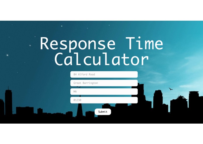
Screenshot of Webpage

Inspiration
We are all affected by the speed of emergency services. Emergency services are put in place to keep us safe from dangerous situations and accidents. For this reason, it is vital that emergency services like paramedic operators, firefighters, or the police can respond quickly.
The speed of emergency services is often variable; however, for those with volatile lifestyles, those who travel, or those who enjoy visiting other places (which is the majority of us), it is vital that a streamlined service exists that helps streamline worst-case response times to help users judge the safety of a location.
What it does
While google allows us to find the time it takes to travel to certain locations, it does not provide a streamlined process to find the time it may take for certain emergency services to reach a given location. For example, there is no easy way to find the time it takes for firefighting services to reach an address.
Input: Address of interest Output: Location of nearest emergency service; worst-case response time (with current traffic).
This takes every address (sorted by zip code or state), and calculates the distance.
How we built it
We obtained data from several data sets denoting the addresses of fire stations and hospitals in the United States. We used the google maps API to calculate the driving distance between the given address, and found the minimum.
Challenges we ran into
We ran into challenges with finding some datasets, like a file of police department locations nationally. While there was a database online, it was not contained in a single data file.
Find the server was difficult; we finally decided on using the Simon’s Rock server after working with the Google Cloud server and development tools.
Version control, API limitations (number of times we could hit the API), as well as optimization also proved troublesome.
Accomplishments that we're proud of
Learning to use Google Cloud allowed us to learn to use a powerful tool. A quick algorithm for an extremely large data set. API integration (Maps-direction, direction-matrix)
What we learned
We learned how to set up a Google Cloud server, parse large data sets, and use APIs.
What's next for Response-Time-Calculator
Using this tool could help people see the discrepancies between certain neighborhoods in access to emergency services. We plan to correlate income levels and government funding of certain locations to the time it takes for emergency services to arrive to those locations.
Our product, given a location, finds the shortest times for emergency services to reach the given location. Emergency services is defined in this case as the fire department and hospitals, though more services like police departments can be added later. Later, we plan to map poverty and income levels in certain locations to the amount of time it takes for emergency services to reach those locations.


Log in or sign up for Devpost to join the conversation.