-

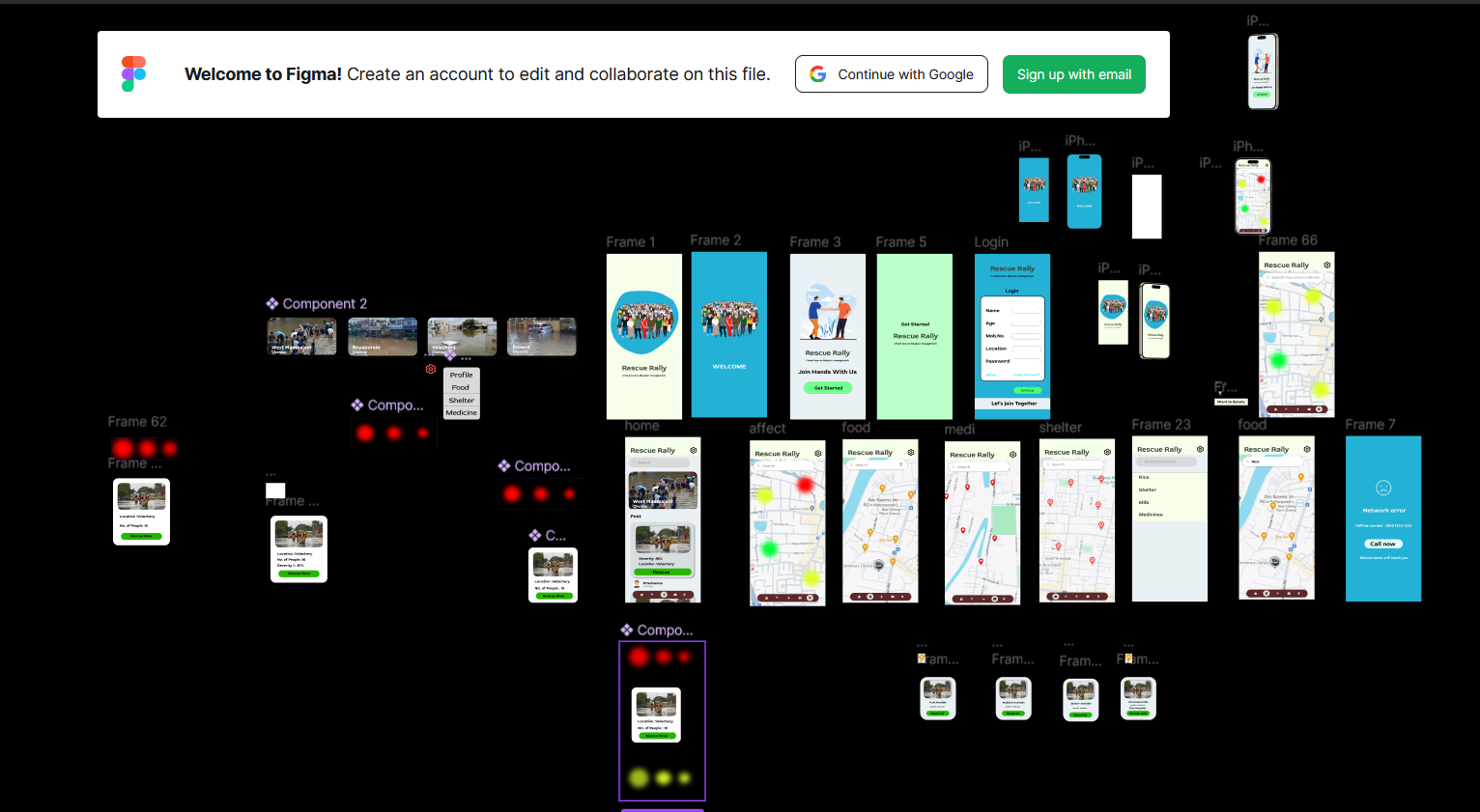
UI/UX Design
Inspiration
The inspiration behind RescueRally is the pressing need for an efficient, real-time, AI-driven disaster management system. Current market solutions lack the ability to leverage AI for accurate severity analysis and resource allocation, often resulting in wasted resources and delayed rescue efforts. Our mission is to revolutionize disaster response by offering a tool that provides actionable insights, facilitates communication, and optimizes resource distribution.
What it does
RescueRally is an AI-powered crowd-sourced disaster management application. It:
- Analyzes user-uploaded images and weather forecast data to assess disaster severity and impact.
- Displays a geographical satellite map with color-coded zones:
- Red Zone: Danger areas where rescue is needed.
- Yellow Zone: Areas where rescue requests are accepted, and teams are on the way.
- Green Zone: Areas that have been successfully rescued.
- Includes features such as a food availability map to locate resources or areas needing donations.
- Allows users to connect with district rescue teams, even in areas with weak internet connectivity.
- Facilitates targeted donations by enabling users to search for specific needs in disaster-stricken areas.
How we built it
- AI Technology: Integrated AI for analyzing images and weather data to predict severity and allocate resources efficiently.
- Geographical Mapping: Implemented real-time satellite maps to visualize affected areas.
- User Interface: Designed a user-friendly UI to ensure accessibility for all, including less tech-savvy individuals.
- Food Map: Built a dynamic database to track food stock levels and donation needs in affected areas.
- Communication Features: Developed emergency contact tools to work in low-connectivity zones.
Challenges we ran into
- Ensuring real-time accuracy of severity predictions and resource allocations.
- Integrating a dynamic food map that updates as requests are processed.
- Designing a conflict-free rescue request system to prevent overlaps in rescue efforts.
- Maintaining a user-friendly interface while incorporating advanced AI features.
Accomplishments that we're proud of
- Successfully developed a real-time disaster severity analysis using AI.
- Implemented a color-coded satellite map to streamline rescue efforts visually.
- Created an innovative food map feature that connects resources with the areas that need them most.
- Ensured accessibility for users across varying technological proficiency levels.
What we learned
- The importance of real-time data accuracy in disaster management.
- How AI can significantly enhance resource allocation and rescue operations.
- Effective integration of user-friendly designs with complex backend processes.
- Challenges in managing connectivity and communication during disasters.
What's next for RescueRally - A Crowd-Source Disaster Management Application
- Expanding AI capabilities to include predictions of long-term disaster impacts.
- Integrating more comprehensive data sources, such as drone footage and IoT devices.
- Enhancing offline functionality to improve usability in areas with zero connectivity.
- Collaborating with government agencies and NGOs for larger-scale adoption.
- Adding multilingual support to broaden the app's accessibility.
Built With
- figma

Log in or sign up for Devpost to join the conversation.