Inspiration
When sudden mass disasters strike—such as flash floods, urban inundations, or earthquakes—traditional emergency communication infrastructure can quickly become overwhelmed:
- 911/112 systems jam within minutes due to call-volume surges.
- First responders lack real-time ground truth because information is fragmented across departments and sources.
- Social media becomes noisy, mixing unverified rumors with genuine SOS calls and making rescue coordination harder.
We asked ourselves:
What if an autonomous digital incident commander could monitor a crisis in real time, filter the noise, identify life-safety hazards, and guide stranded citizens toward verified safe shelters in under 60 seconds?
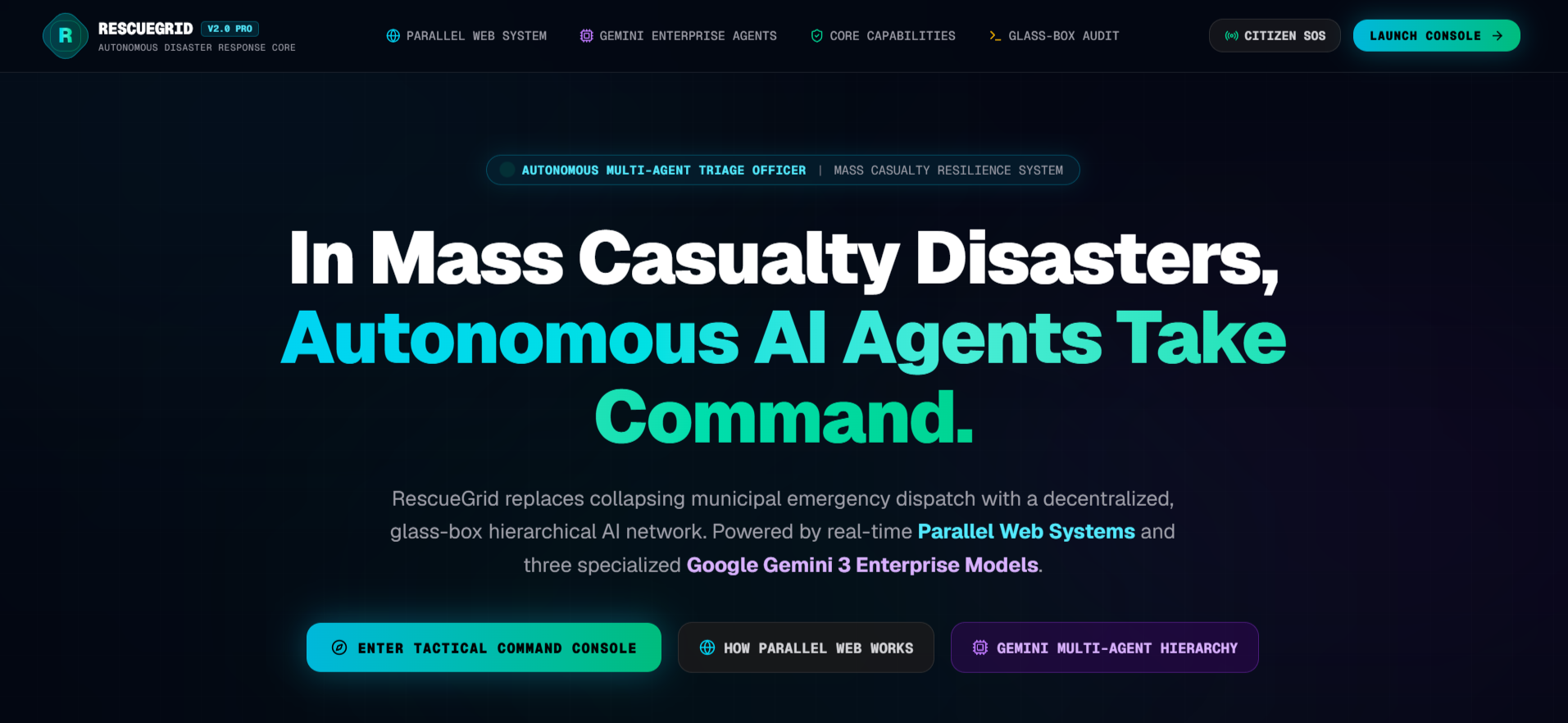
That question led to RescueGrid—a Civilian-to-Command autonomous disaster intelligence and evacuation platform designed to ensure that no distress call goes unanswered.
What it does
RescueGrid acts as a digital incident command center connecting civilian distress with tactical response.
Global Dynamic Theater Operations
Uses the Google Maps Geocoding API to dynamically monitor any country, state, or city without relying on static or mock location datasets.4-Tier Source Verification
Prioritizes trusted information sources:- Tier 1: Government and official agencies such as IMD, ASDMA, CWC, USGS, and NOAA
- Tier 2: Certified organizations such as Red Cross and hospitals
- Tier 3: Registered citizen relays
- Unverified social media content is quarantined instead of being treated as ground truth.
Autonomous Web Intelligence
Powered by the Parallel Web Systems SDK (parallel-web), RescueGrid continuously scans official disaster portals, hydrology data, and civil-defense bulletins.Glass-Box AI with Google Gemini
Gemini 3 Pro & Flash analyze emergency telemetry, identify hidden hazards, classify disaster severity, and estimate the critical Golden Hour Evacuation Window.Deterministic Safe Evacuation Routing
Gemini identifies safe areas and constraints, while Google Maps JavaScript and Directions APIs enforce the real-world road network.
If a major road such as NH-27 becomes blocked, RescueGrid dynamically calculates an alternative route.Human-in-the-Loop Multilingual Alerts
Generates CAP-compliant emergency directives in:- Assamese (
অসমীয়া) - Hindi (
हिन्दी) - English
- Assamese (
Human commanders can review and authorize alerts for SMS, WhatsApp, and Voice IVR.
- 2G Civilian Survival Mode (
/citizen)
A lightweight emergency interface designed for low-bandwidth environments, providing simple shelter navigation without requiring heavy map downloads.
How we built it
RescueGrid was built as an asynchronous, deterministic multi-agent platform.
Core Stack
- Framework: Next.js 16, App Router, Turbopack, React 19
- Language: TypeScript 5.9
- AI: Google Gemini 3 Pro & Flash via
@google/genai - Web Intelligence: Parallel Web Systems SDK
- Maps: Google Maps JavaScript API, Google Directions API, Google Geocoding API
- Mapping UI:
@vis.gl/react-google-maps - State Management: Zustand
- UI: Tailwind CSS + Framer Motion
- IoT Ingestion: REST Webhook API with HMAC verification
Parallel Web Intelligence
We integrated four operational modes:
parallelSearch— searches trusted, domain-whitelisted sources.parallelExtract— converts disaster bulletins into structured facts.parallelDeepResearch— performs multi-hop verification.startParallelMonitor— continuously monitors disaster sources.
Multi-Agent Architecture
We implemented a Google ADK-style parallel agent architecture using a shared asynchronous ParallelAgentBus.
The flow is:
Incident
   ↓
Ingest Agent
   ↓
Verify Agent ─────┐
                  ├──→ Coordinator → Response
Predict Agent ────┘
Built With
- better-sqlite3
- framer-motion
- gemini-3
- google-directions
- google-genai
- google-maps
- nextjs
- parallel-web
- react-19
- rest-api
- tailwindcss
- typescript
- webhooks
- zustand

Log in or sign up for Devpost to join the conversation.