-
-
Thumbnail
-
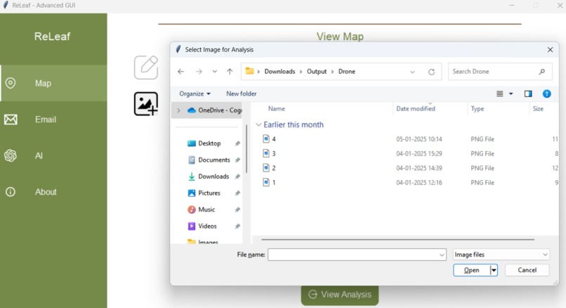
Drone Footage Upload
-

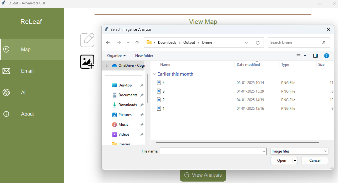
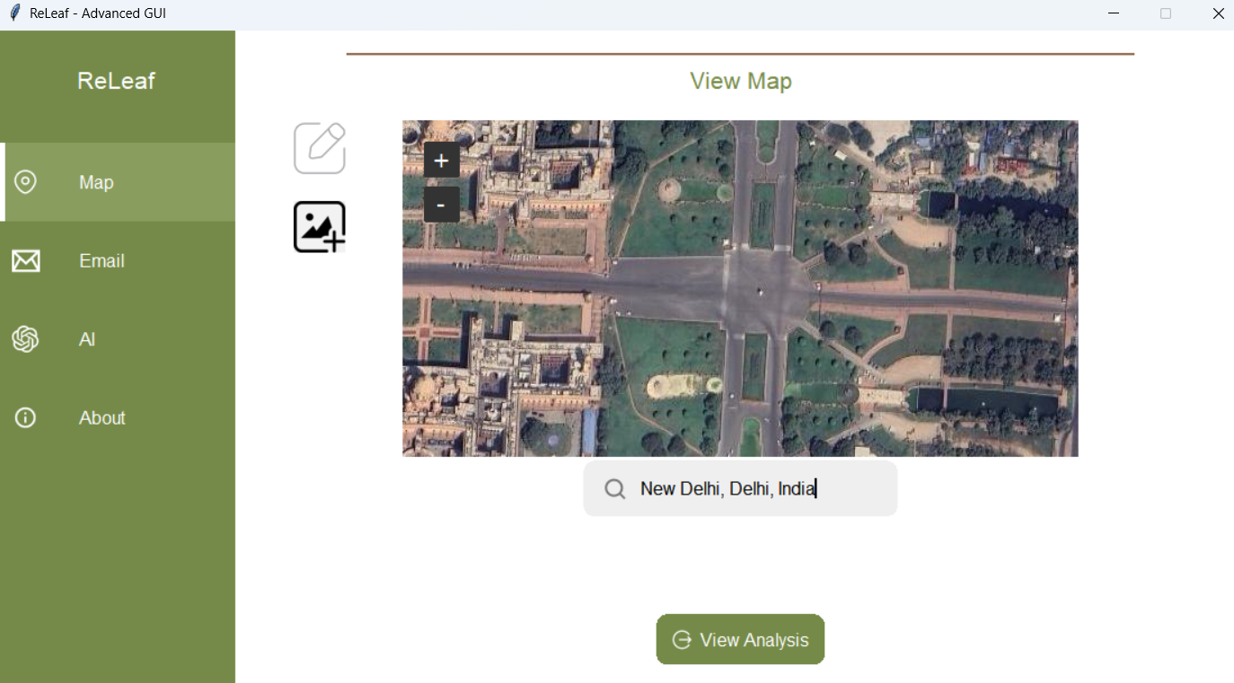
Main Page
-
Poster

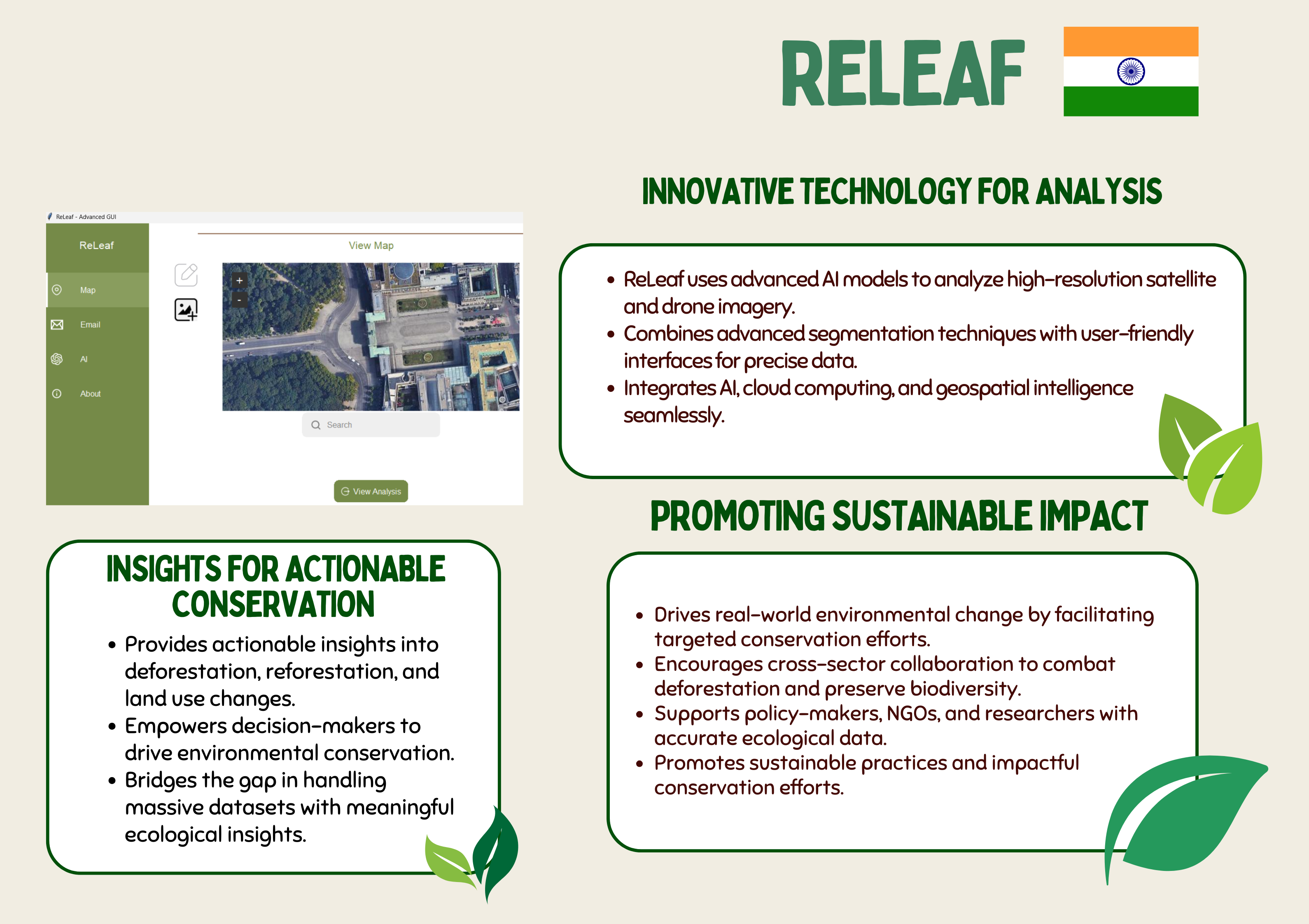
🌱 ReLeaf: Empowering Environmental Conservation with AI
📌 Introduction
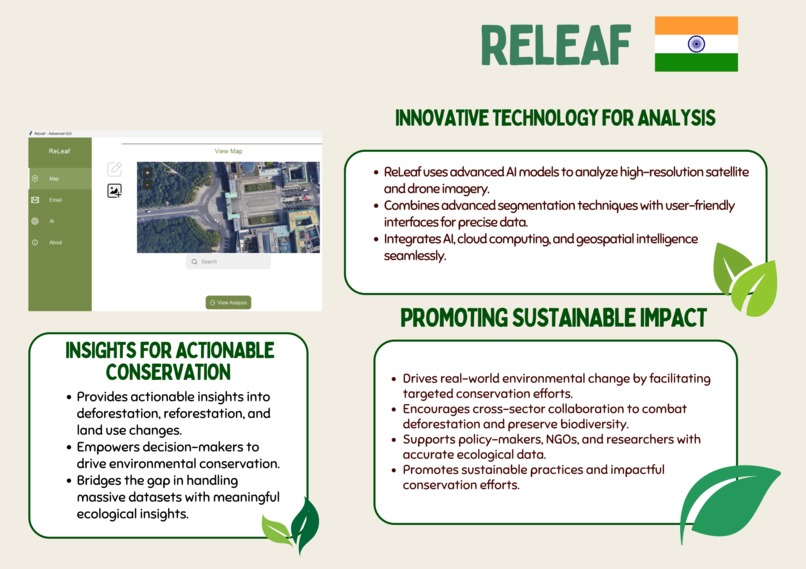
Deforestation and environmental degradation are among the biggest challenges our planet faces today. ReLeaf was born out of a deep passion to leverage cutting-edge technology to combat these pressing issues. By analyzing high-resolution satellite and drone imagery, ReLeaf empowers decision-makers with actionable insights, driving meaningful efforts toward conservation and sustainability.
💡 What Inspired Us
The Problem
Every year, millions of acres of forests are lost due to human activity. Despite having access to vast amounts of satellite and aerial data, decision-makers struggle to derive actionable insights from it. This gap between data and insight inspired us to create ReLeaf — a platform that bridges this divide with the power of artificial intelligence.
Realizing the Potential
As AI enthusiasts and advocates for sustainable development, we envisioned a tool that:
- Extracts detailed information from satellite images.
- Provides instant, user-friendly insights.
- Promotes collaborative efforts for conservation.
We saw an opportunity to not only aid environmental efforts but also push the boundaries of technology’s role in driving sustainability.
🛠️ How We Built ReLeaf
Technology Stack
- Frontend: Developed using Python and Tkinter for an intuitive, modern, and visually engaging user interface.
- Backend: Powered by a server-side application that integrates:
- A refined U-Net architecture optimized for multi-class segmentation.
- Python APIs for efficient server-client communication.
- Data Processing: Images were processed with cloud services such as Google Cloud Platform (GCP) for enhanced computational capabilities.
Workflow Overview
Input: Users upload high-resolution satellite or drone images.

Segmentation: ReLeaf’s AI model classifies land use into 6 distinct classes:
- Buildings, Land, Roads, Vegetation, Water, and Unlabeled regions.
Insights: Output is presented as segmentation masks and actionable analytics.

Export: Users can export results and feedback data to improve future analyses.
🌟 What We Learned
This project was a rewarding journey of discovery and growth. Key takeaways include:
- Teamwork & Collaboration: Balancing skillsets while working remotely to ensure progress was seamless.
- Advanced AI Techniques: Gaining expertise in loss functions (Dice Loss + Cross-Entropy) and model optimizations for large datasets.
- User-Centric Design: Designing a tool that’s not only powerful but also accessible to non-technical users.
⚡ Challenges We Faced
Data Quality: Many publicly available datasets required significant preprocessing to ensure compatibility with our model.
Computational Constraints: Training deep learning models on high-resolution images was resource-intensive. Leveraging cloud solutions helped us overcome this hurdle.
Integrating Drone Footage: Scaling the solution to support dynamic inputs like drone footage introduced complexities in handling various resolutions and formats.

- User Interface: Ensuring a balance between sophistication and simplicity to meet the needs of diverse users was a constant design challenge.
🌍 Impact
ReLeaf serves as a catalyst for meaningful change by:
- Simplifying complex ecological data for actionable results.
- Enhancing collaboration among stakeholders through transparent insights.
- Fostering scalable solutions that adapt to different use cases (e.g., urban planning, reforestation, water body management).
🔮 Future of ReLeaf
We envision expanding ReLeaf’s capabilities to:
- Integrate IoT devices like ground sensors for hybrid data analysis.
- Include predictive modeling to forecast environmental trends.
- Launch an API for developers to build custom solutions using ReLeaf’s core technology.
📣 Join Us on This Journey
Conservation is a collective effort. Together, we can make a difference. Explore, contribute, and collaborate with ReLeaf to drive sustainable futures. 🌿


Log in or sign up for Devpost to join the conversation.