-
Problem people are facing
-
Solution to the Problem
-

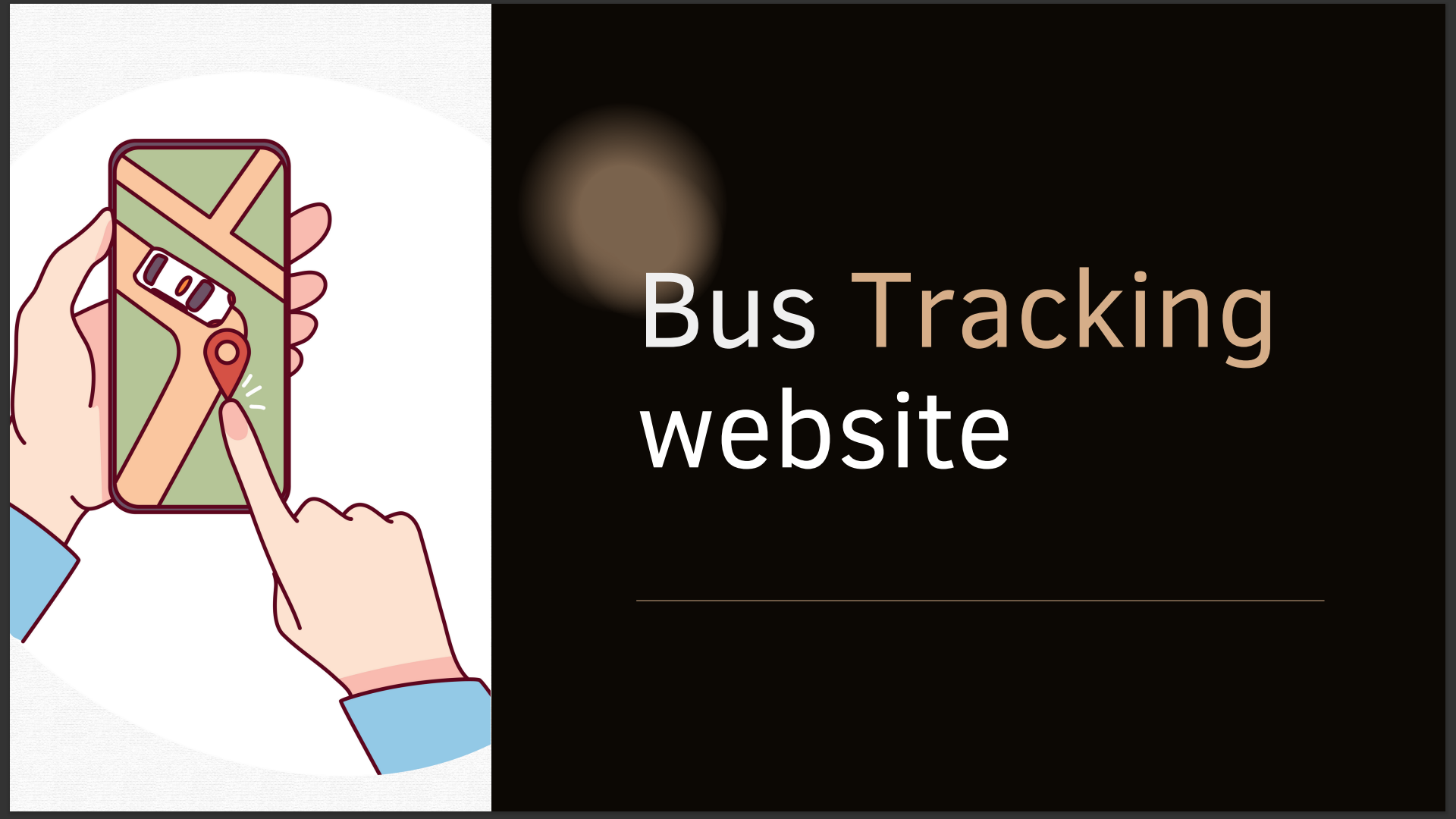
We make Bus Tracking Website
-
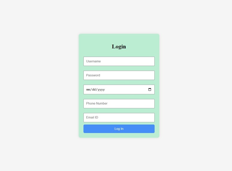
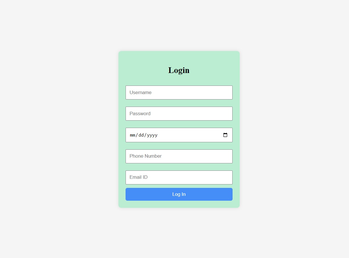
Login Page
-

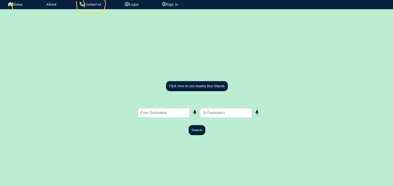
Home Page of our Website
-
Shows buses available at that time
-
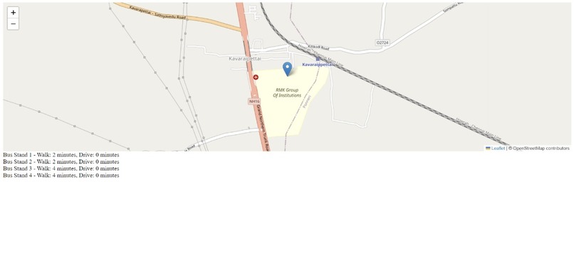
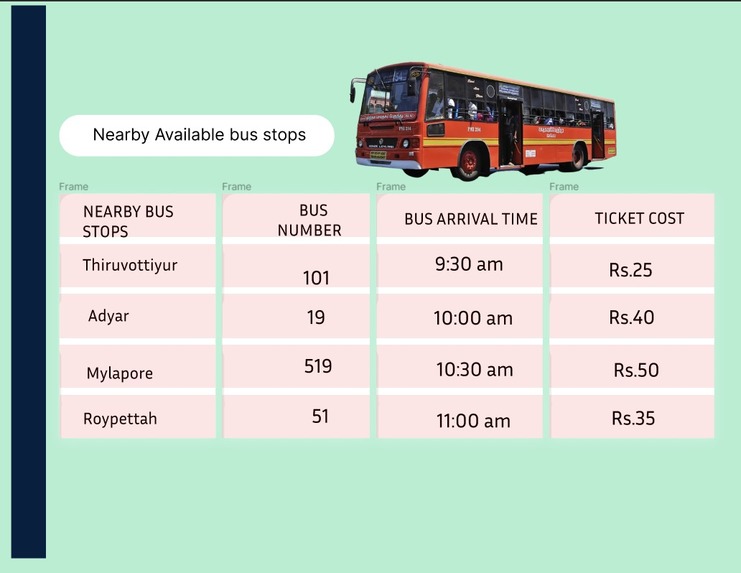
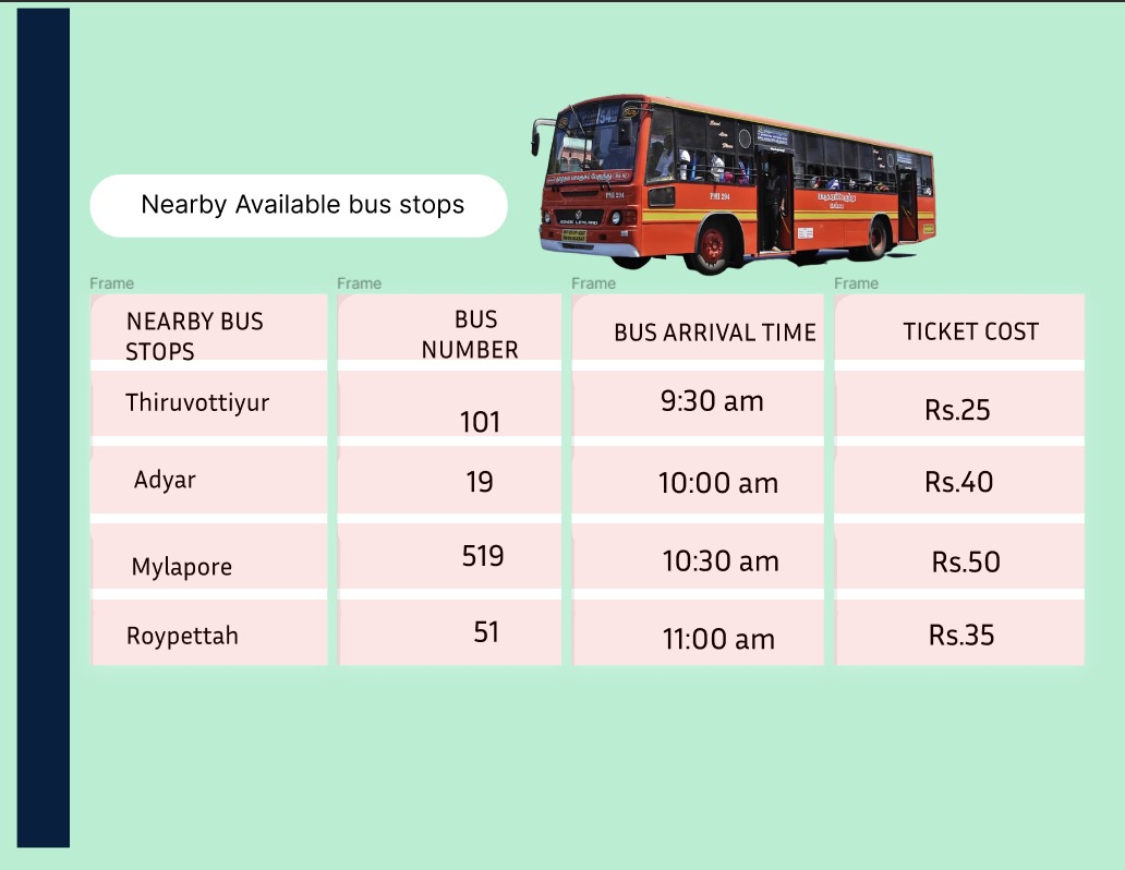
Shows nearby busstands and busstops
-
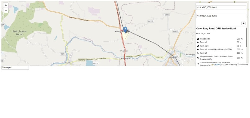
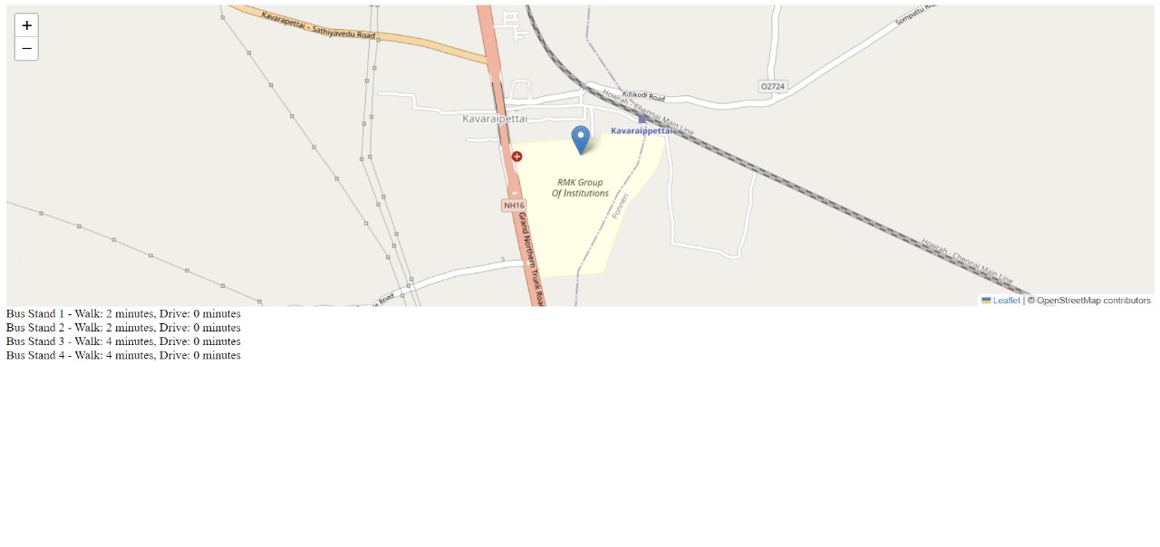
Shows direction to the chosen Busstand or Busstop
-
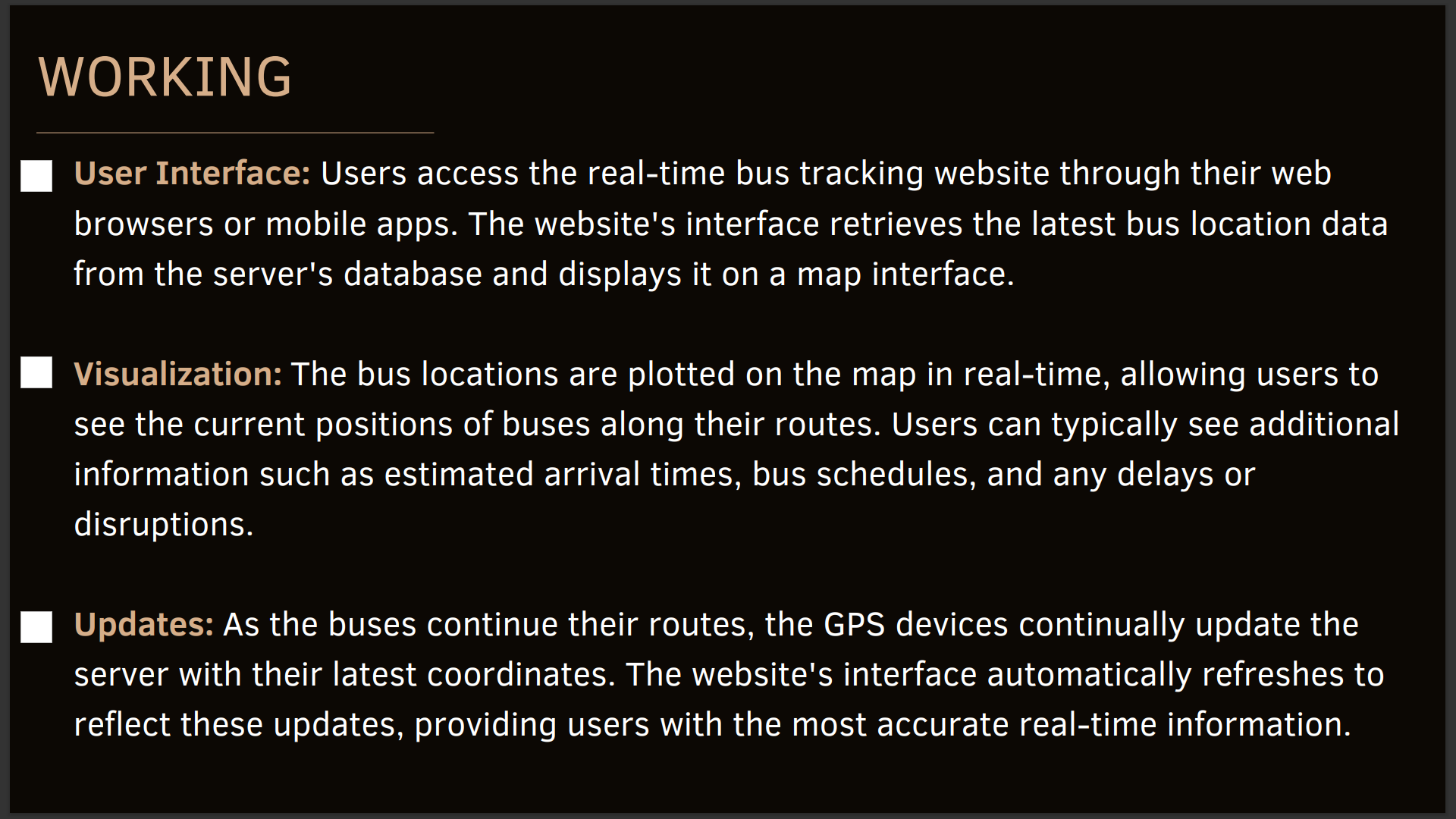
Working
-

Working
-
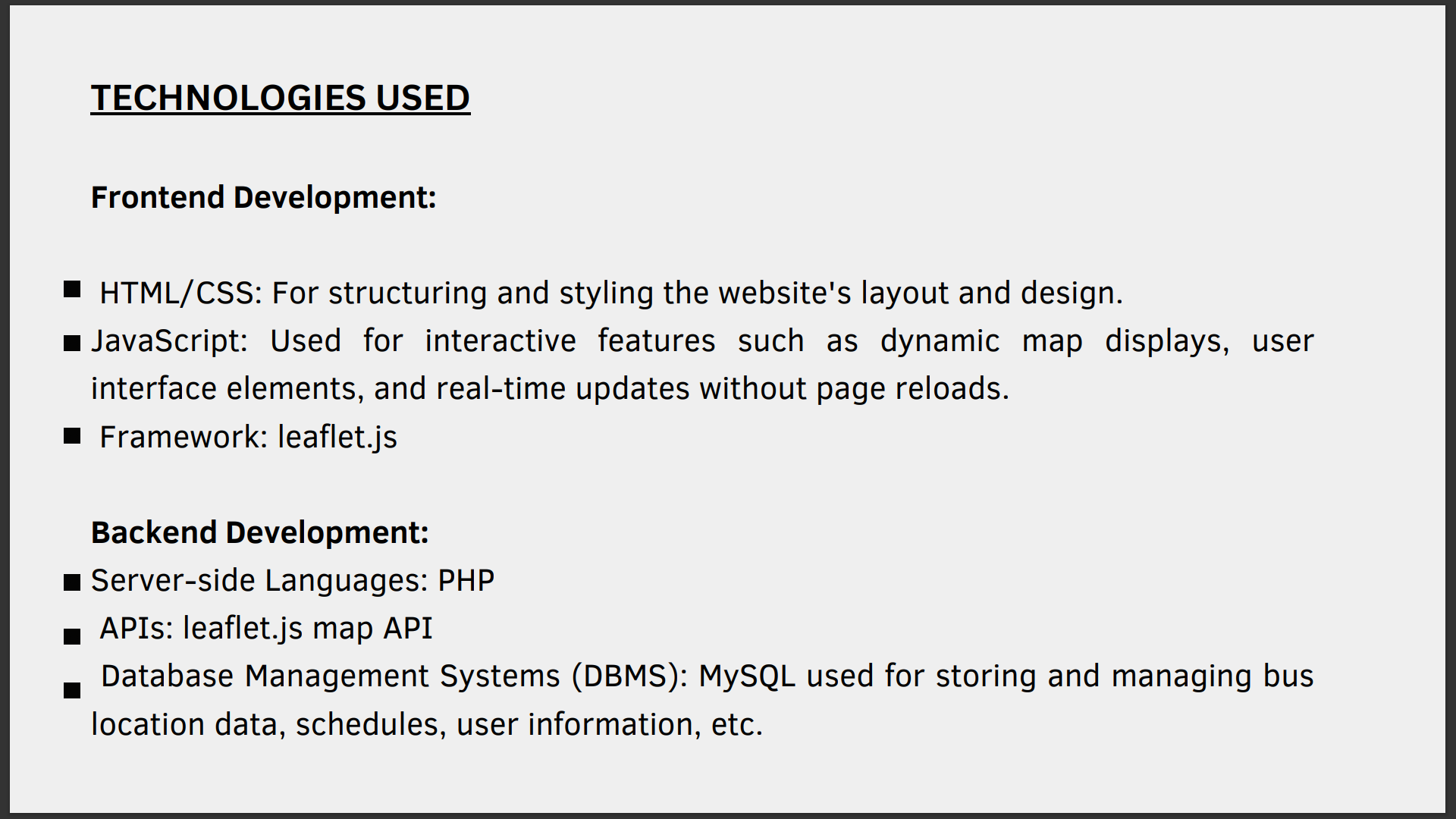
Technologies we are using
-
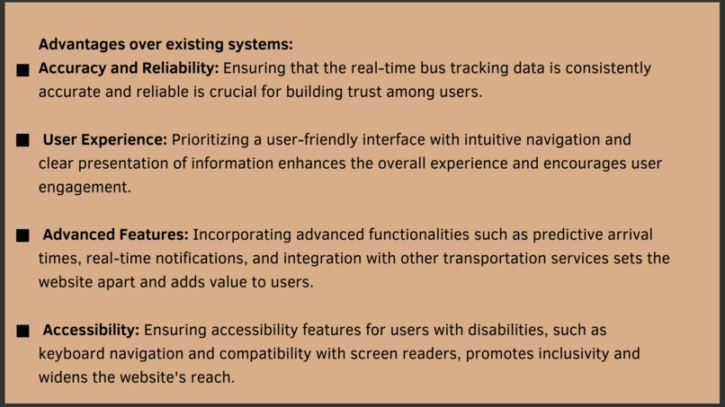
Advantages Over Existing Systems
-
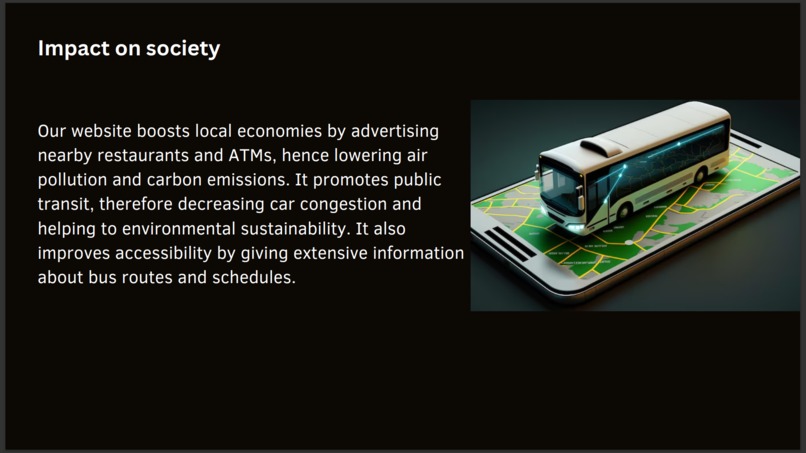
Impact on Society
-
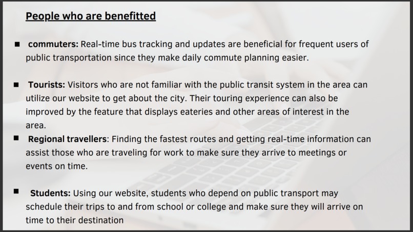
People who are benefitted from our website
-
Overall Conclusion


Inspiration
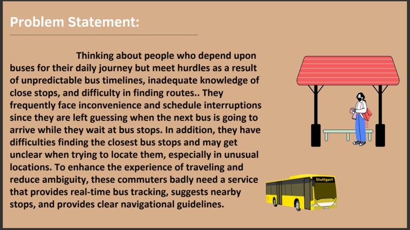
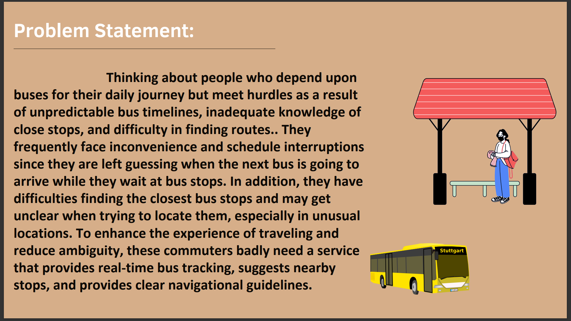
Thinking about people who depend upon buses for their daily journey but meet hurdles as a result of unpredictable bus timelines, inadequate knowledge of close stops, and difficulty in finding routes.. They frequently face inconvenience and schedule interruptions since they are left guessing when the next bus is going to arrive while they wait at bus stops. In addition, they have difficulties finding the closest bus stops and may get unclear when trying to locate them, especially in unusual locations. To enhance the experience of traveling and reduce ambiguity, these commuters badly need a service that provides real-time bus tracking, suggests nearby stops, and provides clear navigational guidelines.
What it does
Because of the fast-paced nature of city living, public transportation needs to be equally dependable and rapid. For this reason, we are building a website for bus tracking and location services that will provide you with up-to-date information on bus whereabouts, timetables, and arrival times. Whether you use the bus frequently or not, our website is made to make using public transportation a breeze for you. It has simple features and easy navigation that will transform the way you commute.
How we built it
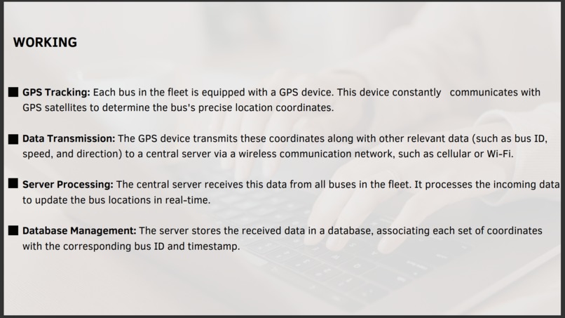
GPS Tracking: Each bus in the fleet is equipped with a GPS device. This device constantly communicates with GPS satellites to determine the bus's precise location coordinates. Data Transmission: The GPS device transmits these coordinates along with other relevant data (such as bus ID, speed, and direction) to a central server via a wireless communication network, such as cellular or Wi-Fi. Server Processing: The central server receives this data from all buses in the fleet. It processes the incoming data to update the bus locations in real-time. Database Management: The server stores the received data in a database, associating each set of coordinates with the corresponding bus ID and timestamp. User Interface: Users access the real-time bus tracking website through their web browsers or mobile apps. The website's interface retrieves the latest bus location data from the server's database and displays it on a map interface. Visualization: The bus locations are plotted on the map in real-time, allowing users to see the current positions of buses along their routes. Users can typically see additional information such as estimated arrival times, bus schedules, and any delays or disruptions. Updates: As the buses continue their routes, the GPS devices continually update the server with their latest coordinates. The website's interface automatically refreshes to reflect these updates, providing users with the most accurate real-time information
Challenges we ran into
We face challenges like Real-time data handling. Push Notifications: Technologies like Web Sockets or server-sent events (SSE) can be used to push updates to the client whenever new bus location data is available. Message Queues: Systems like RabbitMQ or Apache Kafka may be employed for handling large volumes of real-time data and ensuring efficient message delivery. Linking database to the webpage and accessing them.
Accomplishments that we're proud of
1.With real-time tracking public transport can be made effective and dependent. It makes travel arrangements more efficient for commuters by decreasing wait times by improving predictability.
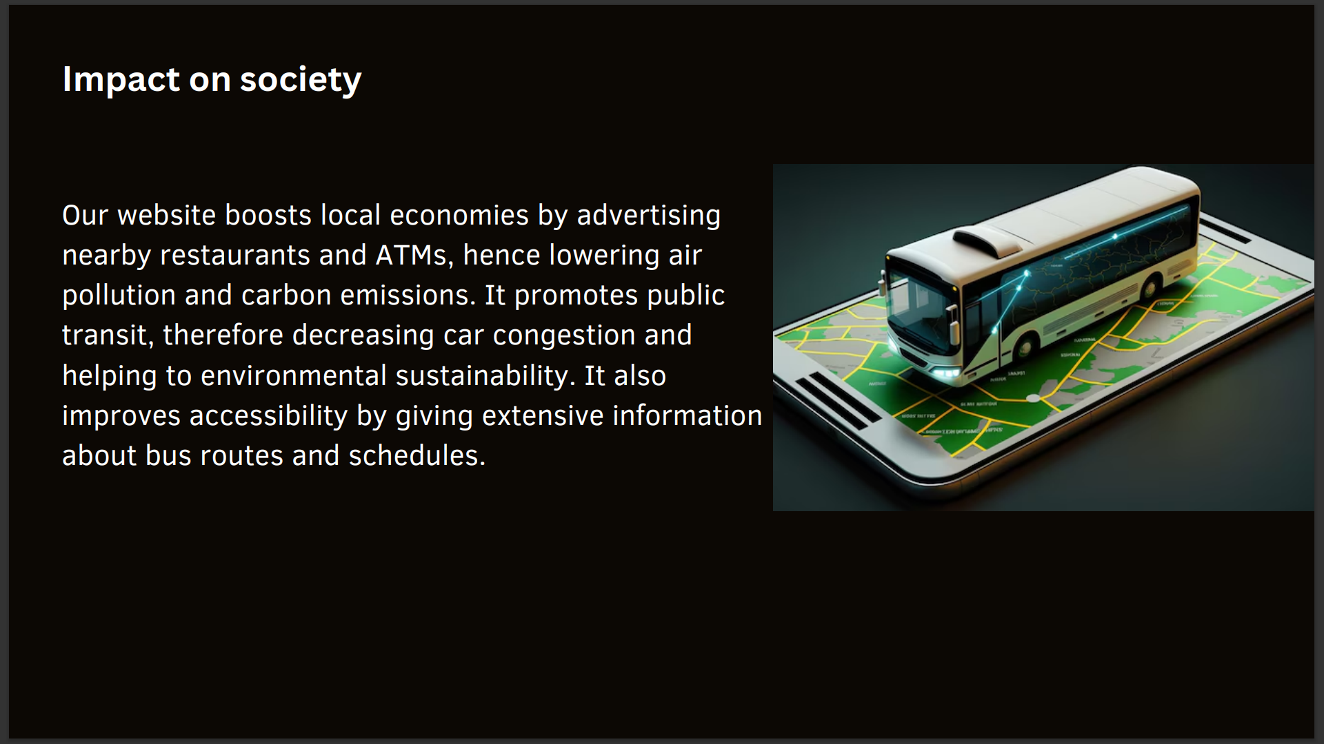
- By advertising neighboring eateries, ATMs, and other businesses, our website promotes foot traffic to these locations, so helping local economies and lowering air pollution. Encouraging the use of public transportation can aid in lowering air pollution, carbon emissions, and traffic congestion—all of which are factors that support the sustainability of the environment.
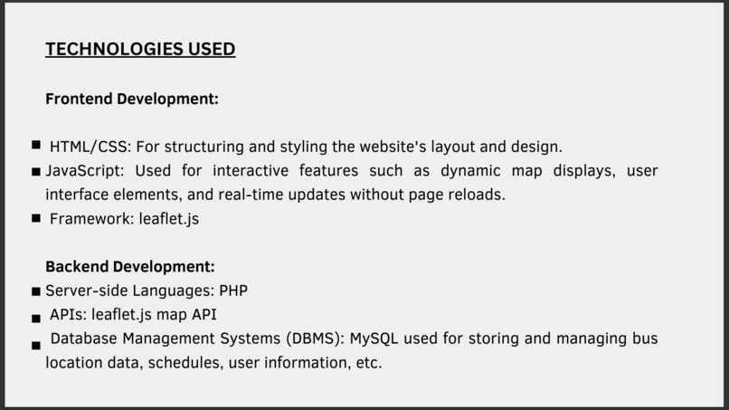
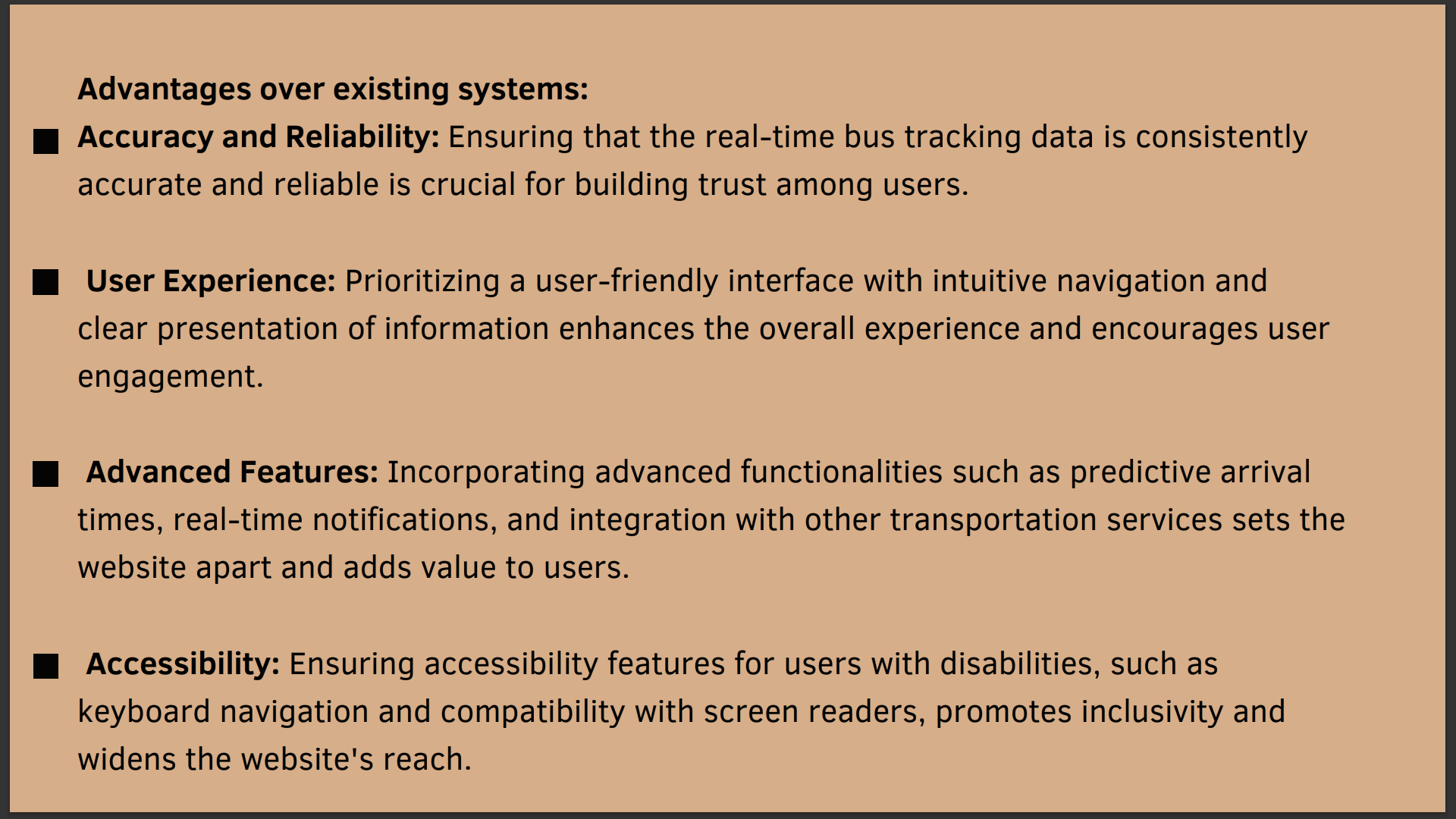
- Our website improves public transportation's accessibility for all users, including visitors and those who are new to the area, by offering thorough details regarding bus routes, stations, and schedules. ## What we learned we learnt HTML/CSS: For structuring and styling the website's layout and design. JavaScript: Used for interactive features such as dynamic map displays, user interface elements, and real-time updates without page reloads. Framework: leaflet.js Server-side Languages: PHP For Database Management Systems (DBMS): we learnt MySQL used for storing and managing bus location data, schedules, user information, etc. ## What's next for RealTime Tracking and Seamless Navigation for Public Transit Advantages over existing systems: Accuracy and Reliability: Ensuring that the real-time bus tracking data is consistently accurate and reliable is crucial for building trust among users. User Experience: Prioritizing a user-friendly interface with intuitive navigation and clear presentation of information enhances the overall experience and encourages user engagement. Advanced Features: Incorporating advanced functionalities such as predictive arrival times, real-time notifications, and integration with other transportation services sets the website apart and adds value to users. Accessibility: Ensuring accessibility features for users with disabilities, such as keyboard navigation and compatibility with screen readers, promotes inclusivity and widens the website's reach.

Log in or sign up for Devpost to join the conversation.