Inspiration
Our inspiration for this project came from the devasting California wild fires currently happening. We decided to design our web app as a form of aid to anyone who could be in danger due to wildfires and who may not know how they should act based on the fires in their areas.
What it does
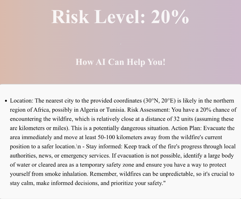
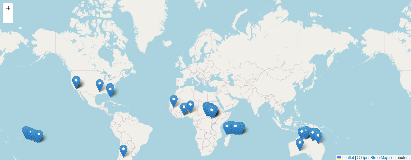
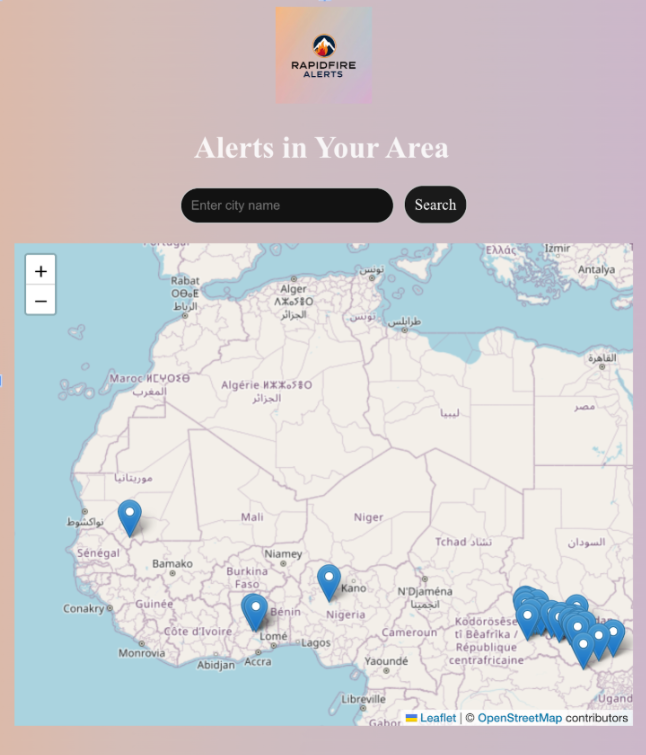
Our web application takes a user's location through location requesting or through a users input, then uses an existing fire map to calculate the nearest fire to a user and the distance from the user to the fire. Then, the system uses an algorithm to determine a percentage score that indicates how much danger the user may be in depending on how close a fire is to them. Furthermore, a chat bot powered by Cohere is then prompted to give the user next steps based on their current location, danger level, and distance from a fire. The model is prompted to help the user on their next steps, and is prompted to give the user information that is specific to their location and news that may be given by government officials. Lastly, the user can continue to send messages with the chat bot, asking for more assistance.
How we built it
To begin, our front-end system was built with React.js, and back-end with Django in Python. Primarily, NASA's FIRMS API was used for the fire map, providing exact coordinates for the longitude and latitude of fires across the globe. Another API, OpenCage, was used to convert the location that users entered into coordinates. Moreover, OpenStreetMap API was used in order to display the map on the webpage, along with the NASA coordinates. Finally, Cohere was used to power our chat bot.
Challenges we ran into
A particular challenge we ran into multiple times throughout the project was transferring data to and from the back-end and front-end. We often found that we would get bad-requests, and a lot of time, we had type errors that were difficult to spot, thus leaving us puzzled. Also, we found that parsing data that we obtained from our APIs was initially hard to set up. One particular case was coordinates of fires that was obtained from the NASA API, which had a very confusing structure for us to understand, and was much easier to figure out in JavaScript compared to Python.
Accomplishments that we're proud of
We are proud that we were able to create a service that could be used to ensure the safety of many people around the world. We believe our web app could genuinely help many people, and that knowledge leaves us with much satisfaction. Overall, we are also accomplished with how we were all able to spend our time doing something we love, and making an influential project.
What we learned
Throughout the project, we each developed a deeper understanding for each of the frameworks and languages that we were least familiar with. We also have all deepened our understanding of using useful APIs and most importantly, we have all understood much better on how web development works by connecting a front-end and back-end and using both independently.
What's next for Rapidfire Alerts
Next, Rapidfire Alerts hopes to continuously improve our web app. Some ideas we have had for our web app include adding air quality statistics into the app as well as into our danger algorithm. Also, we hope we can make our app more interactive, perhaps by adding a map that follows your exact location and shows a pin on the nearest fire to you.

Log in or sign up for Devpost to join the conversation.