Inspiration
To empower land acquisition decisions by providing a comprehensive risk assessment platform that delivers insights on crime rates, nearby points of interest, etc., enabling clients to make informed, data-driven choices for safer and more valuable investments.
What it does
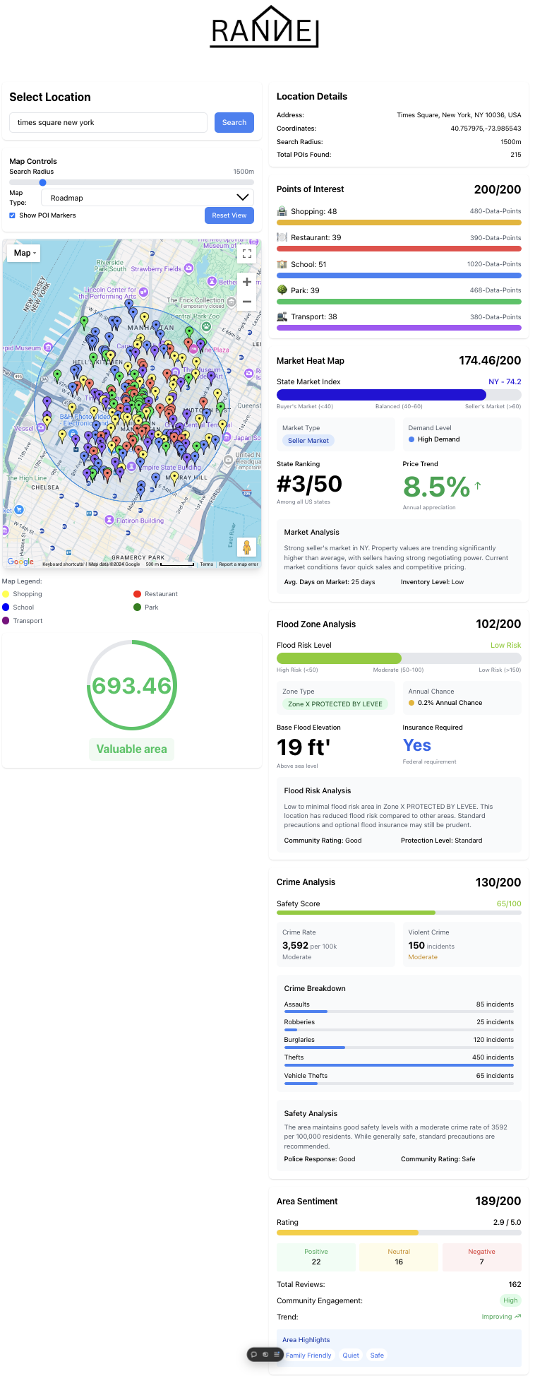
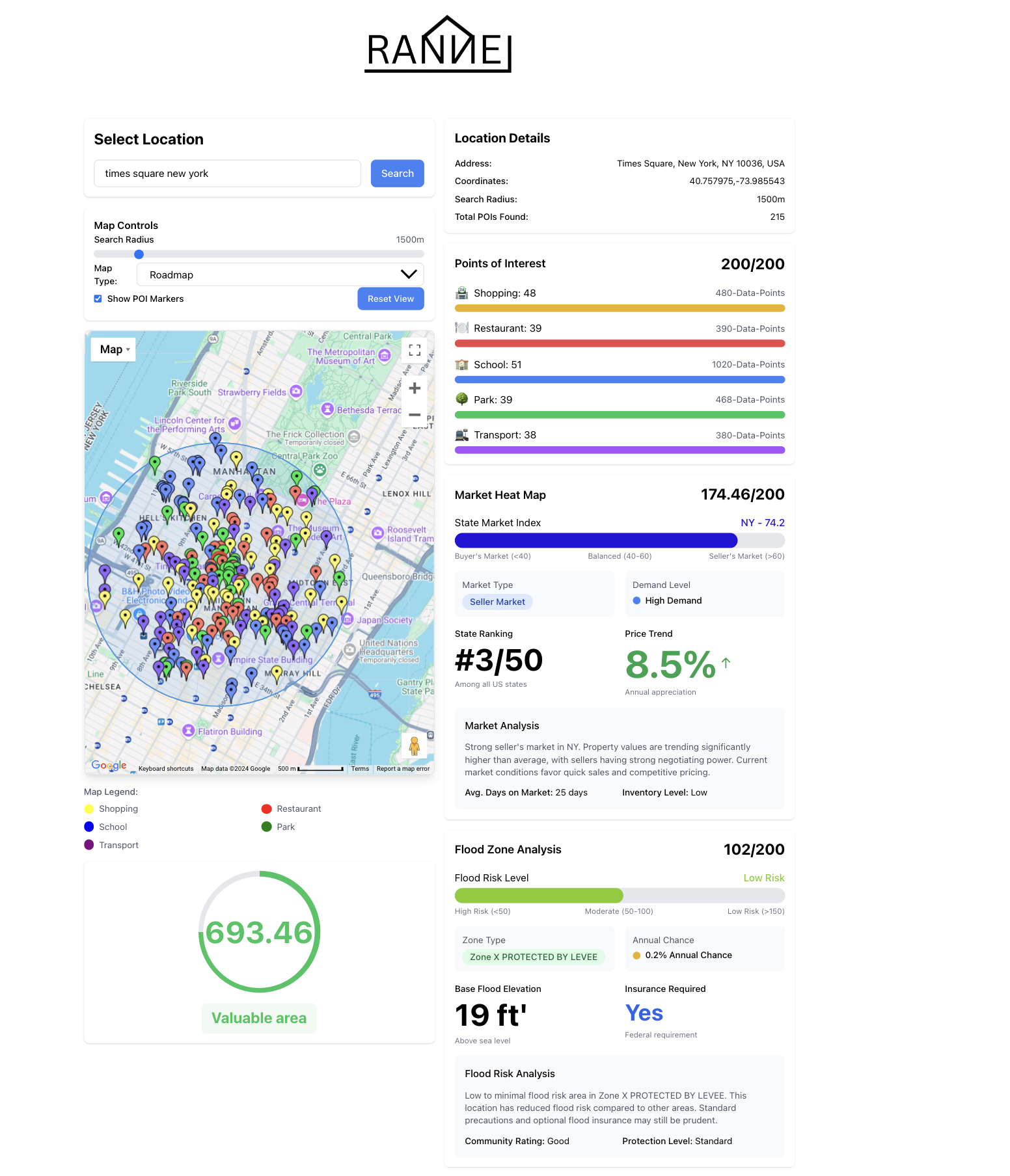
Utilizes various APIs in order to seamlessly integrate all kinds of metrics used in order to valuate a possible real estate investment. From flood risks, crime analytics, flood data, to individual point of interest spots in the area, our software utilizes all of the data.
How we built it
To develop a functional and beautiful interface, we utilized React and Tailwind CSS. To manipulate our data we used pandas in python. For our back end we used JavaScript and TypeScript.
Challenges we ran into
We ran into challenges trying to access all of the different APIs all of the same time as well as accessing and parsing all of the data into the software locally which was strenuous on the computer
Accomplishments that we're proud of
Were proud of the sheer computing we were able to achieve with all of the different factors included, the APIs, data sets, etc.
What we learned
We learned how to integrate APIs efficiently, how to create cards in react, and develop the front end better.
What's next for Rannel Land Value RISK assessment
The future of Rannel Land Value RISK assessment has many goals. The primary goals are: predictive analysis, scalability, AI-driven solutions, and expanded data factors.
Built With
- javascript
- python
- react
- tailwind
- typescript

Log in or sign up for Devpost to join the conversation.