RADAR: Rapid Assessment and Damage Analysis for Relief
Inspiration
The L.A. Wildfires. Hurricane Helene. The tsunami of earthquakes in Greece.
These are three of the largest natural disasters that have afflicted Earth in the past six months. The damage caused to infrastructure and human lives was devastating, and unfortunately, as climate change accelerates, these disasters will only become more frequent and severe.
Our team was inspired to tackle this problem while looking at the relief efforts for the L.A. Wildfires. Identifying risk zones in surrounding areas is critical to protecting neighboring communities. With better damage assessment, relief efforts can be deployed faster and more efficiently.
In every disaster, time is the difference between life and death. Emergency responders rely on damage reports to allocate resources, but traditional assessments can take hours—or even days. We wanted to change that.
What it does
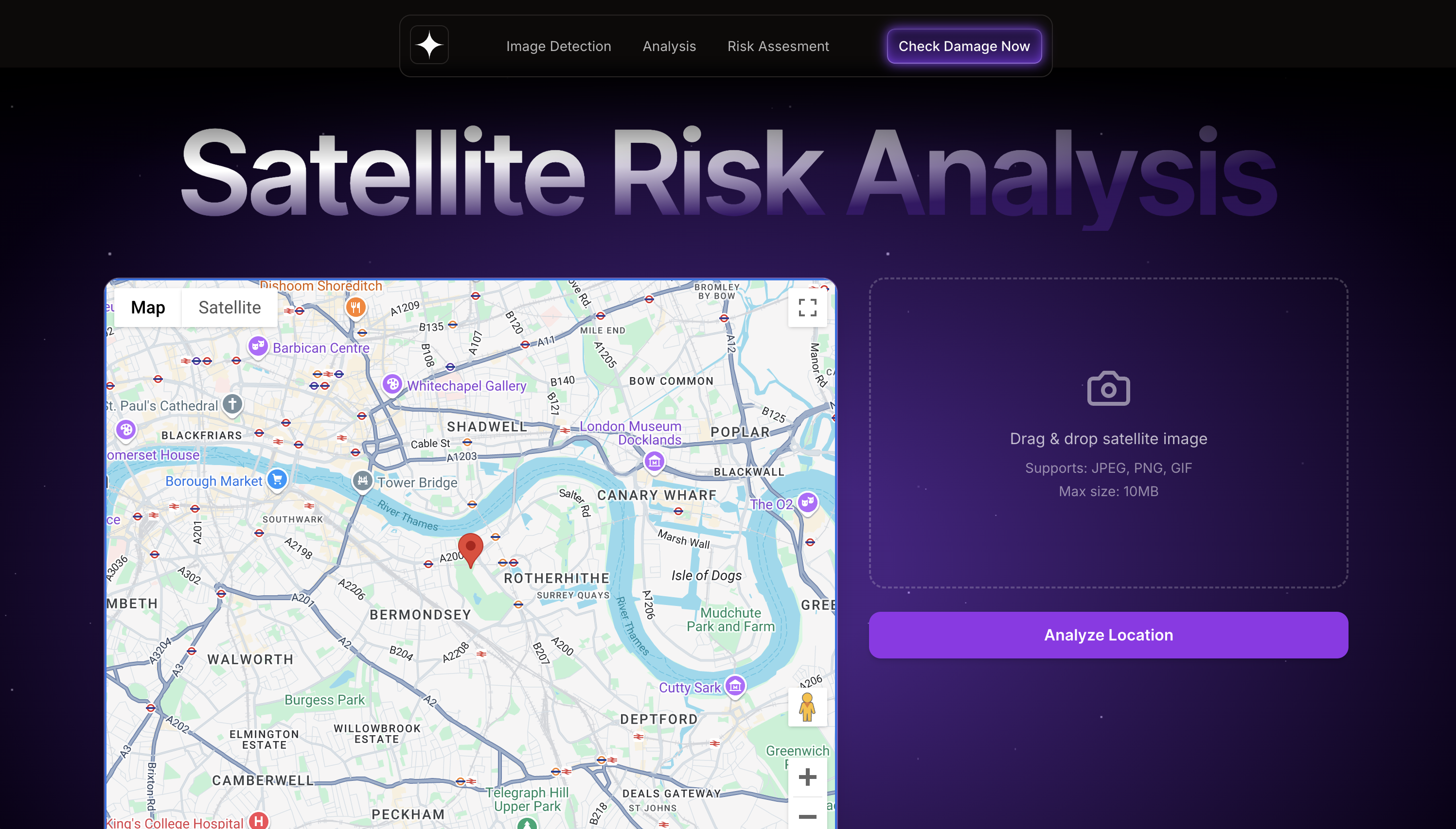
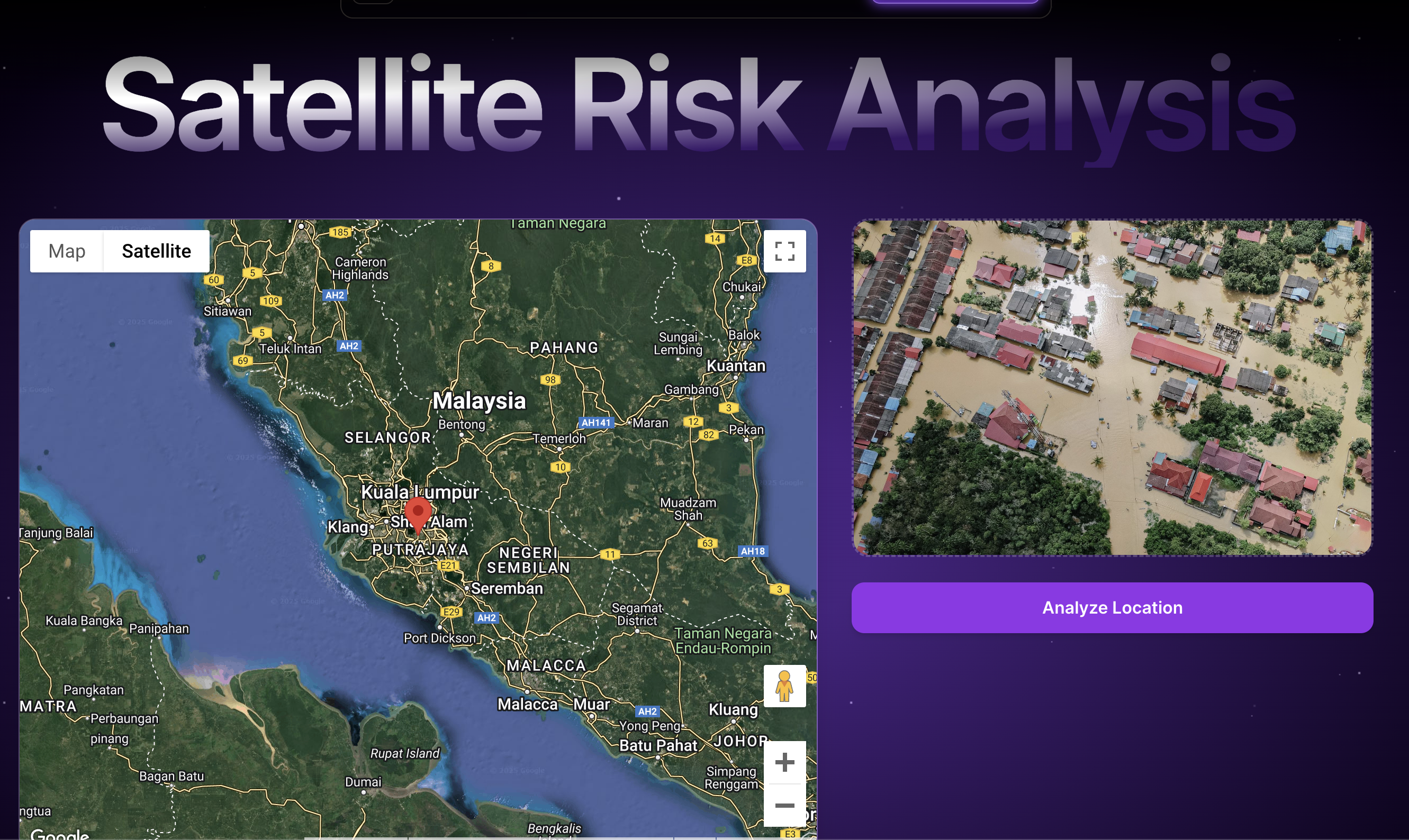
RADAR is an AI-powered tool designed to analyze post-disaster satellite images and rapidly assess damage severity. Using machine learning models trained on real-world satellite data from past natural disasters, RADAR assigns severity ratings based on destruction levels, economic impact, and environmental conditions.
By automating the damage assessment process, RADAR significantly reduces the time emergency responders need to collect accurate data. Governments, NGOs, and first responders can access real-time insights, allowing them to allocate resources efficiently and prioritize aid for the most affected areas.
Before a disaster, RADAR can help identify vulnerable regions, aiding in evacuation planning and resource staging. After a disaster strikes, RADAR helps emergency teams pinpoint high-risk zones in real time, ensuring life-saving aid reaches those who need it most—quickly and effectively.
How we built it
To develop RADAR, we combined multiple technologies, including:
- Machine Learning & AI: We built a Convolutional Neural Network (CNN) using TensorFlow and Keras, trained on satellite images from past disasters to classify damage severity.
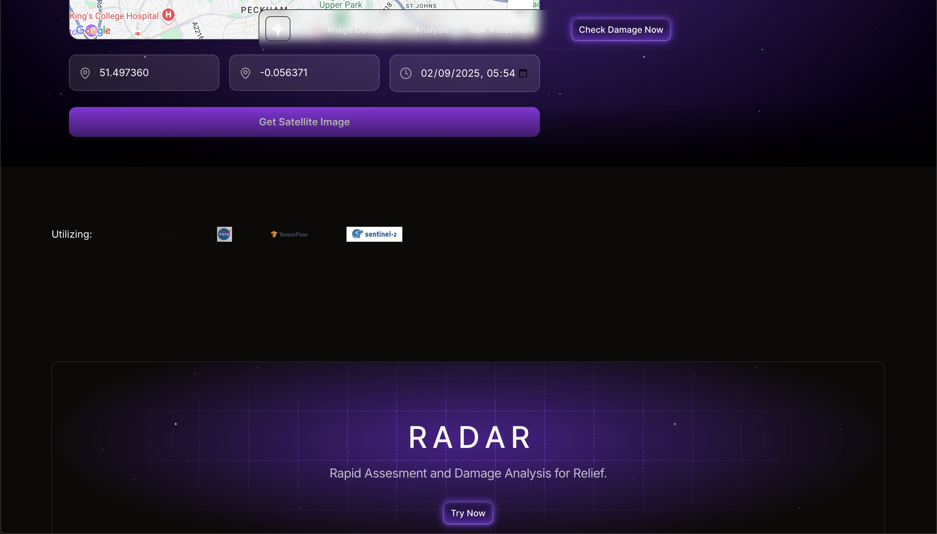
- Satellite Data Integration: We used Google Earth Engine and Copernicus Sentinel-2 imagery to access high-resolution post-disaster satellite images.
- Frontend Development: Built with React, TypeScript, and Next.js for a seamless and interactive user experience.
- Backend Architecture: Developed with Node.js, Express, and Flask, with the AI model hosted via a Flask API.
- Google Maps API: Integrated for location selection, enabling users to assess damage at specific coordinates.
- Styling & Animations: Designed with Tailwind CSS and Framer Motion for smooth UI interactions.
- File Handling: Implemented React Dropzone for image uploads, allowing users to manually upload satellite images.
Our system is designed for scalability and speed, ensuring that emergency response teams can get immediate access to damage assessments when time is critical.
Challenges we ran into
- Settling on an idea: Disaster relief is a vast field with many pressing problems. Initially, we struggled to decide on the most impactful solution before choosing wildfire damage assessment after reading a news article on the subject.
- Finding reliable satellite data: Publicly available post-disaster images are often limited. We overcame this by utilizing Sentinel-2 satellite imagery, which provided high-quality disaster coverage.
- Bias in AI models: Since our dataset was influenced by recent disasters like Hurricane Helene and the L.A. Wildfires, there was a risk of bias in the model’s predictions. To mitigate this, we expanded our dataset to include a variety of disasters from different regions, ensuring better generalizability.
- Processing large satellite images: High-resolution images require extensive processing power. We optimized our model and infrastructure to handle large-scale data efficiently.
Accomplishments that we're proud of
- Successfully developing an AI-powered damage assessment tool that can help speed up disaster response.
- Integrating real-time satellite data with machine learning-based analysis, bringing an innovative approach to emergency response.
- Overcoming technical challenges like satellite image processing and building an intuitive and accessible platform for first responders.
- Creating a scalable solution that can be expanded to include different types of natural disasters, increasing its impact.
What we learned
- Understanding disaster response: Working on RADAR gave us insight into how emergency relief efforts rely on data-driven decision-making.
- Satellite image processing & ML classification: We learned advanced techniques in computer vision, AI ethics, and model generalization to prevent biases in disaster assessments.
- Real-time mapping technologies: Integrating Google Maps API and Sentinel-2 satellite imagery taught us how to handle geospatial data effectively.
- AI fairness and ethical considerations: We became more aware of the risks of bias in AI models and the importance of training datasets that accurately represent global disaster scenarios.
References
"Natural disasters can be land, atmospheric, or oceanic in origin, and may also include undersea earthquakes and tsunamis."
PMC Article on Sentinel Satellites for Disaster Response, 2021
Read more"AI-based satellite data analysis can help identify critical infrastructure and human settlements most affected by natural disasters, enabling more efficient humanitarian responses."
Using AI to Analyze Satellite Imagery, ScienceDirect, 2020
Read more"Ensuring fairness and minimizing bias in AI models is essential, especially in disaster scenarios where decisions can impact vulnerable populations."
Ethical Issues in AI for Disaster Management, IGI Global, 2021
Read more"Data quality, coverage, and resolution are critical in disaster relief, and Sentinel-2 provides high-resolution data that helps accurately assess the impact of disasters like wildfires and floods."
Sentinel-2 Imagery for Disaster Impact Analysis, ScienceDirect, 2021
Read more"Machine learning and satellite imagery can dramatically improve real-time decision-making and disaster recovery efforts."
Machine Learning for Disaster Response, SpringerLink, 2020
Read more
Ethical Considerations: Fairness and Bias in AI
As with any AI-driven system, ensuring fairness and minimizing bias was a key priority in developing RADAR.
- Dataset Diversity: We expanded our dataset to include a variety of disaster types and regions to prevent the model from overfitting to specific disaster scenarios.
- Bias Mitigation: Since our dataset initially included recent disasters like Hurricane Helene and the L.A. Wildfires, we worked to ensure the model wouldn’t disproportionately favor these disaster types.
- Ethical Disaster Response: Since RADAR influences how aid is allocated, ensuring accuracy and fairness was critical. Misallocation of resources could worsen suffering, so we validated our model against diverse datasets and sought expert feedback from disaster response professionals.
Our goal is to continuously improve RADAR to make it more accurate, fair, and useful in helping relief organizations respond to disasters efficiently.
Built With
- cnn-model
- express.js
- flask
- framer-motion
- google-maps
- keras
- next.js
- node.js
- react
- react-dropzone
- risk-assessment
- satellite-imagery
- scalable
- tailwind-css
- tensorflow
- typescript


Log in or sign up for Devpost to join the conversation.