-
-
PostgreSQL
-
PostgreSQL
-
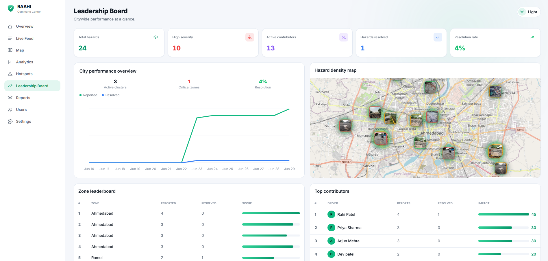
Leadership board
-
Overview of the Dashboard
-
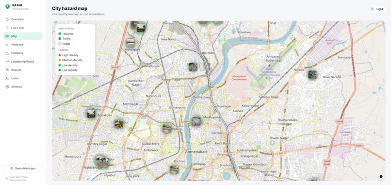
Map of the Dashboard
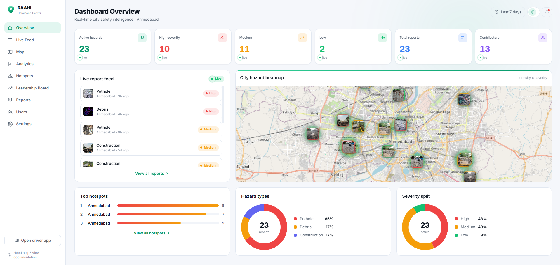
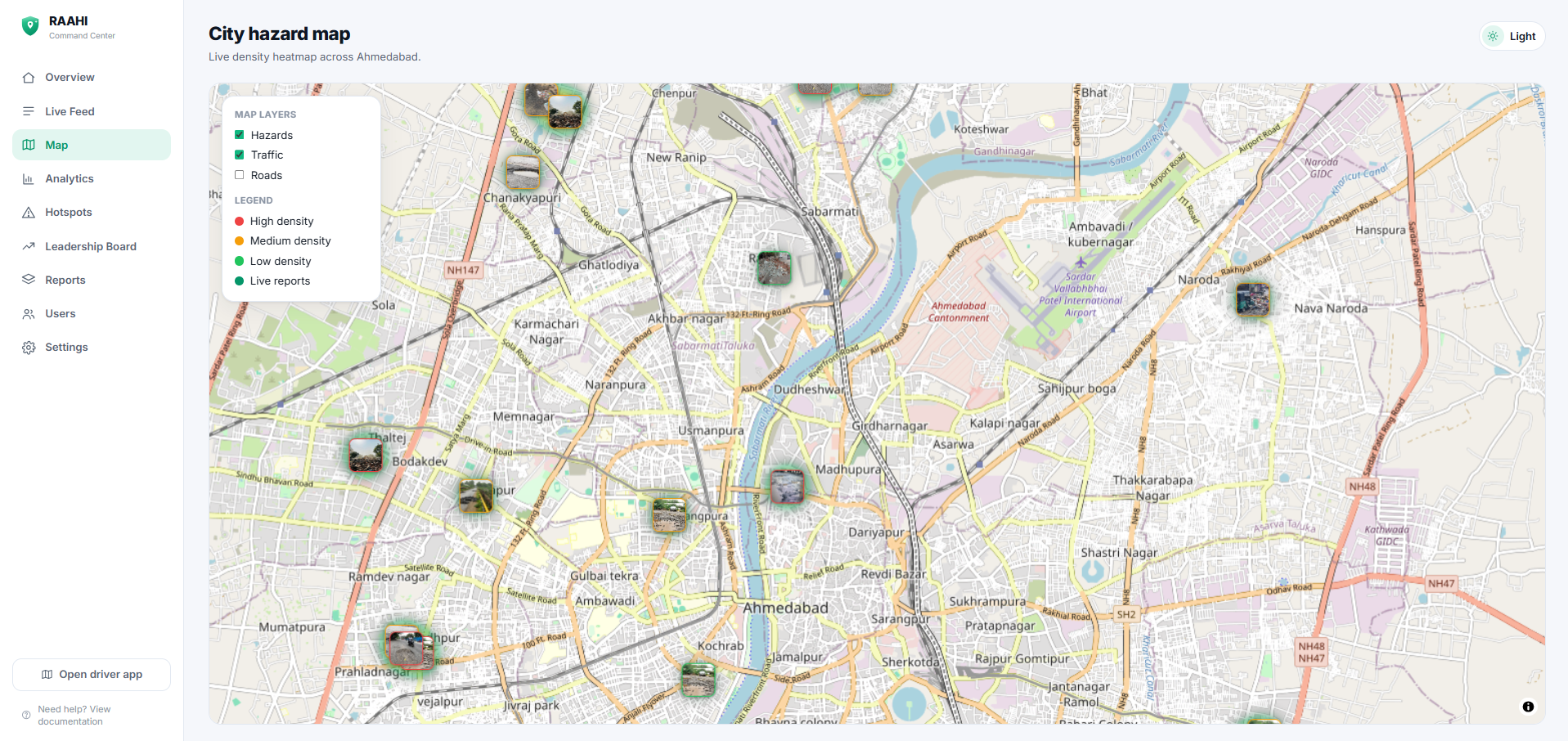
Inspiration: Every commute in Ahmedabad means dodging potholes, debris, and surprise roadwork. The danger is never a secret — someone always hits it first. I wanted a way for that first person to warn everyone behind them.
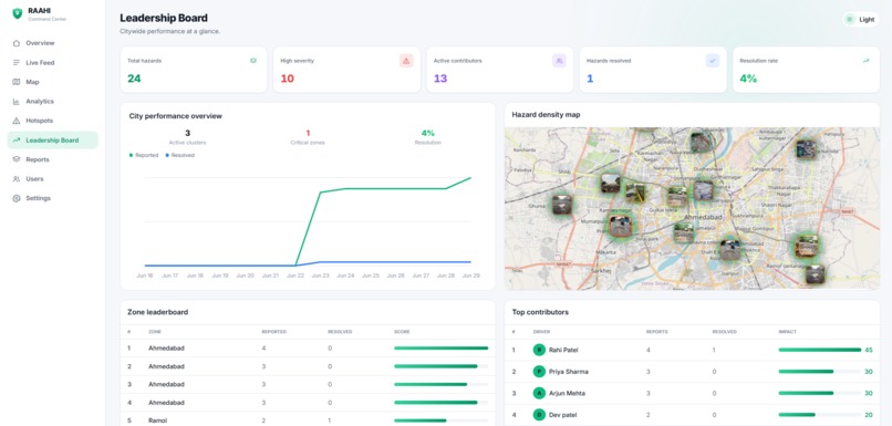
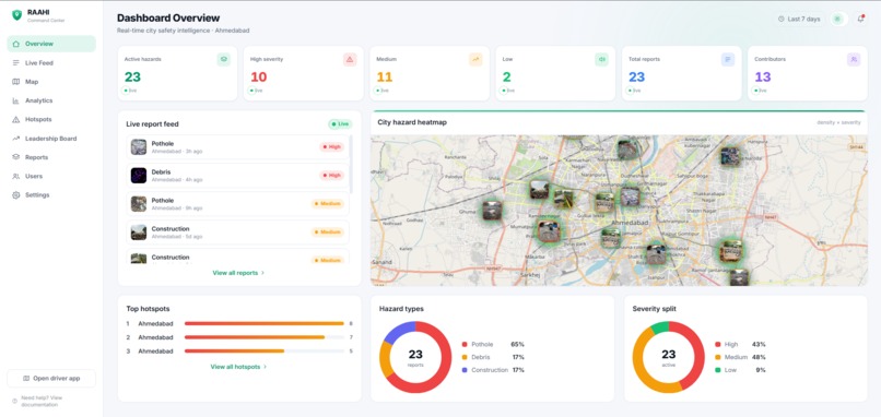
What it does: Drivers report a hazard in seconds (type, severity, photo, GPS). Every other driver near it gets a voice warning before they reach it, and a safer route if one exists. A civic Command Center gives the city a live heatmap, ranked hotspots, analytics, and a community leaderboard.
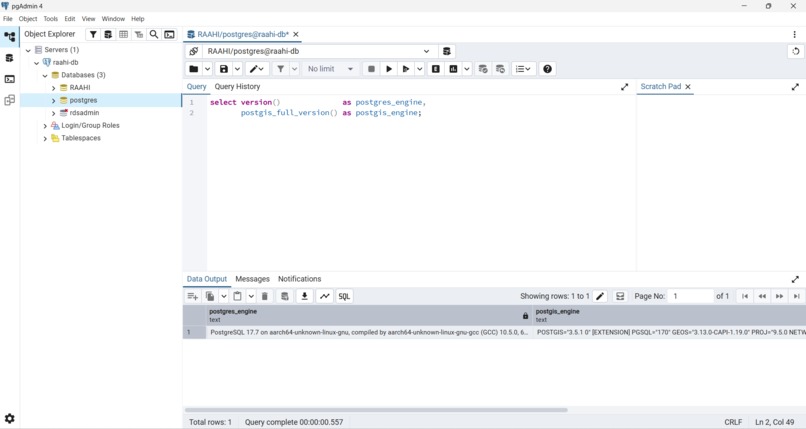
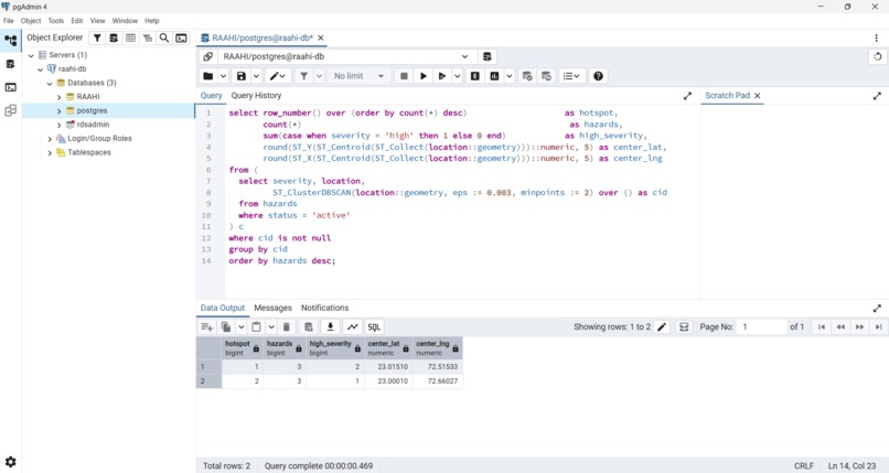
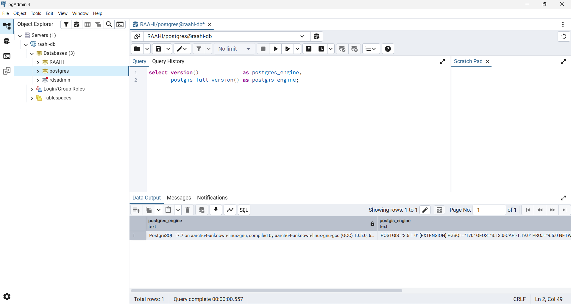
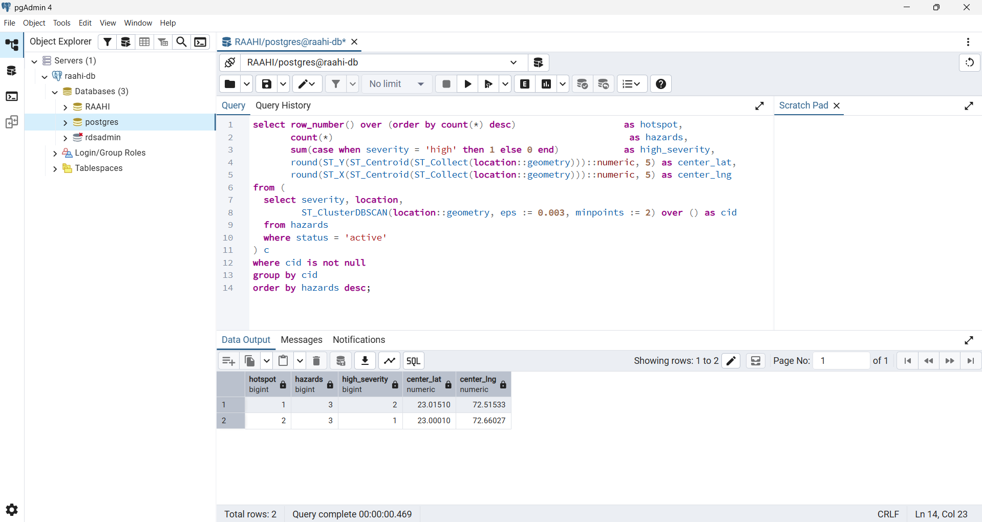
How I built it: Next.js on Vercel for the app and serverless API; Amazon Aurora PostgreSQL with PostGIS as the spatial engine — every hazard is a geography(Point) with a GiST index. ST_DWithin powers proximity warnings and hazard-aware routing, ST_ClusterDBSCAN finds hotspots, and routes are turned into LINESTRINGs to scan for danger. Photos live in Vercel Blob; maps and routing via Ola Maps.
Challenges: Migrating to Aurora and getting SSL/connectivity right, and tuning the PostGIS spatial queries to stay fast as data grows.
What's next: More cities beyond Ahmedabad, and an official feed to city repair crews.
Built With
- amazon-aurora
- maplibre
- next.js
- node-postgres
- ola-maps
- postgis
- postgresql
- react
- typescript
- vercel
- vercel-blob

Log in or sign up for Devpost to join the conversation.