Inspiration
Living in a coastal US town, I watched neighbors lose homes to hurricanes—many blind-sided by outdated FEMA flood maps and insufficient insurance. European friends shared similar struggles with wildfires and heatwaves. I realized homeowners needed clear, location-specific guidance to protect their biggest asset: their home. That’s where WeatherResilience was born.
What it does
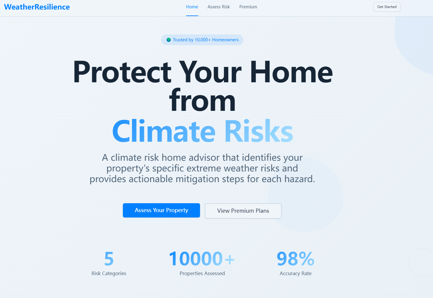
WeatherResilience delivers personalized climate risk profiles for US and European properties, scoring flood, wildfire, heat, hurricane, and tornado risks. It compares official risk data with on-the-ground reality, provides prioritized home hardening steps, analyzes insurance gaps, and forecasts resale value impacts from climate risks. Premium users get real-time weather alerts and unlimited reports.
How we built it
We started by mapping regional climate risk patterns across the US and Europe, then built a React frontend for intuitive UX—designing custom gauges, charts, and icons for clarity. The Node.js backend handles address validation (via Google Maps API) and risk score logic, with PostgreSQL storing location-specific risk data. We integrated Stripe for payment processing and Chart.js for data visualization.
Challenges we ran into
Aligning risk data standards across US and European regions was tough—each has unique hazard reporting systems. We also struggled to simplify technical risk data into plain language for non-experts, and ensuring address validation worked seamlessly for both US postal codes and European address formats required iterative testing.
Accomplishments that we're proud of
We created a tool that demystifies climate risk for everyday homeowners—turning complex data into actionable steps. The side-by-side FEMA vs. actual risk comparison has already helped users identify critical gaps, and our prioritized mitigation checklists make home hardening manageable, not overwhelming.
What we learned
We deepened our understanding of climate risk disparities across regions and how to translate technical data into user-centric design. We also learned the importance of localizing tools for different geographic markets (US vs. Europe) and balancing accuracy with accessibility in non-technical language.
What's next for this project
We plan to expand risk categories to include drought and hail, integrate real-time weather data feeds, and add multi-language support for European users. We’re also exploring partnerships with real estate platforms to embed risk insights into property listings, and building a mobile app for on-the-go access to alerts and reports.

Log in or sign up for Devpost to join the conversation.