-
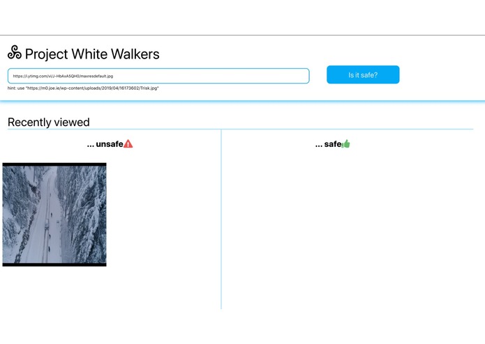
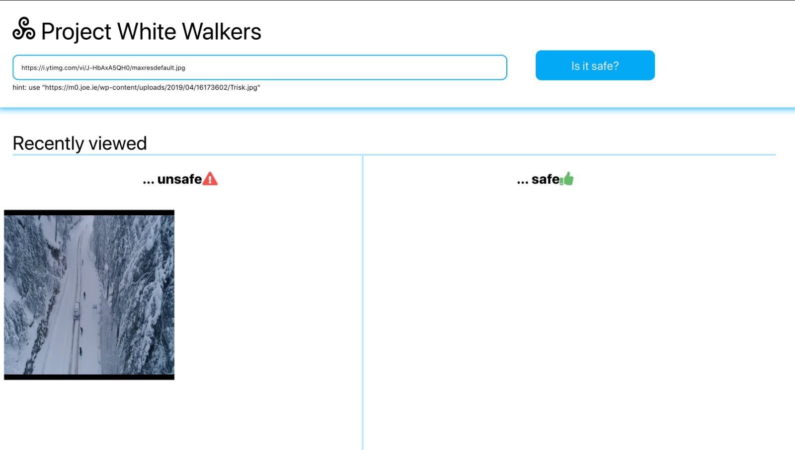
Screenshot of Project White Walker Home Page
Inspiration
As students living in Buffalo, we experience heavy snowfall during the winter. Extreme weather causes a lot of hinderance to the people living in extreme snowfall locations and are not able to travel to different locations due to heavy snow. We therefore created a Web App to help find which roads or areas are inaccessible and therefore help speed up the recovery process by informing appropriate authorities to clean the roads affected by the weather.
What it does
This is a Web Application to classify images taken by a drone in these extreme conditions to determine whether roads are covered in snow or not.
How we built it
We were inspired by how powerful the IBM Machine Learning APIs were in the Demos that was showcased. So we decided to use the IBM Visual Recognition library to build an app which aims to speed up the recovery process after extreme weather conditions. We used Image Classification to classify images of roads taken from drones as covered in snow or not. We created our own dataset taking images from google and divided it into 3 classes: i) Roads covered in snow ii) Roads clear of snow iii) Non-roads (Negative images)
We created and trained the model using IBM Watson and Visual Recognition and tested the results on a couple of images. The backend is built using Node.js and the Express.js framework. For the frontend, we wanted to build modular components, hence we used React.js.
To classify new images as safe or unsafe, we input the image url in the Web Application. The image is then fed as input to the Machine Learning model he and classified as safe or unsafe. The output of the model is then displayed on the web Application. The front-end also keeps track of the previous images classified.
Challenges we ran into
We took a lot of time to come up with a solution to one of the problems faced naturally. We needed drone images of snow covered areas, but we could not find the appropriate dataset available online. Hence we had to create our own dataset using images found online.
Accomplishments that we're proud of
We were able to get reasonable response with the Machine Learning model with the images found online.
What's next for Project White Walker
We plan on providing the location of the images taken from the drones so that the authorities could be notified about the exact locations where the roads need to be deiced. We also plan to extend this to other disasters such as, tornadoes, hurricanes, floods, etc.


Log in or sign up for Devpost to join the conversation.