


Inspiration
In advance of our study, we wanted to challenge ourselves, especially as a team we were curious to face new hurdles and explore more.
What it does
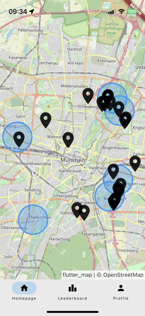
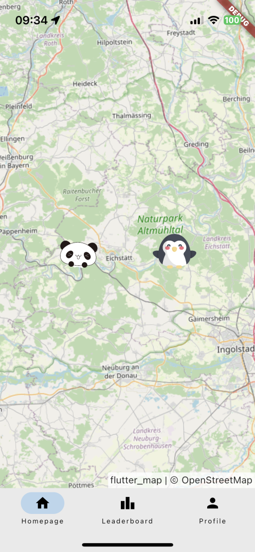
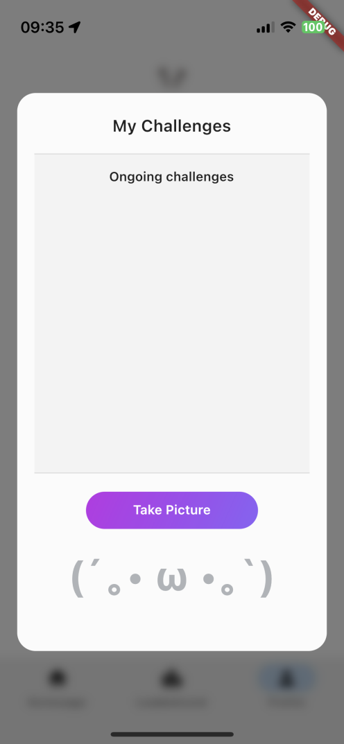
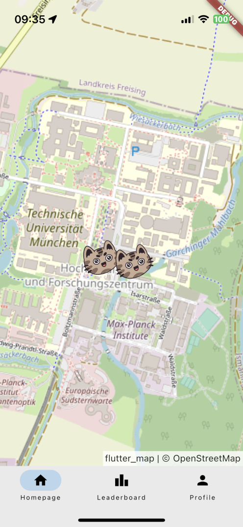
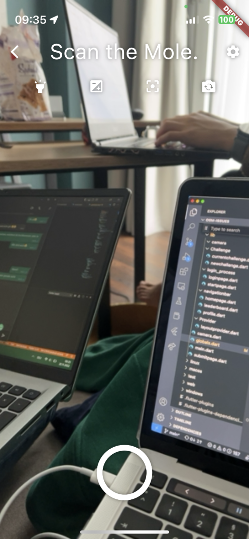
Our App combines the concept of improving open digital map infrastructures with a funny and creative game idea for young people. The goal is to fix tagging issues of the Open Street Map. On the home tab, our app displays these issues on the map. The user position is marked by his own animal avatar. Other users can also share their live locations and be seen on the map with their avatars. A user can start a challenge by clicking on an open issue. When the user is near the issue, the app allows him to take a picture of the street. This is feeded into a ML model, and with the result the app fixes the issue.
How we built it
For the Front End we mainly used Flutter framework (Dart) to be able to offer our service cross platform, for Android and IOS. For the backend and Database we used python with sqlite. For the Machine Learning Model we trained a CNN using PyTorch. For more details check out or GitHub Repo.
Challenges we ran into
It was really hard to decide on the features and functionalities of the app in a limited amount of time because everyone in the team had many creative and funny ideas. The process involved many new 'first experiences' for all of us and it was a challenging weekend but also really fulfilling and rewarding.
Accomplishments that we're proud of
We are really proud to design, program and even make it happen zu make an application run embedding and OMS which was completely new for us. Even though we didn't catch a lot of sleep we are really proud to deliver a fully functional app.
What we learned
We have learned that time management was really important, especially when facing such an extensive task. Also it was super interesting to learn from each other, especially how other team mates approached different tasks and the support we gave each other.
What's next for MapIt
New features like Multi Class Classification, Hard Issue Mode, Route planning, Health statistics and much more ;)

Log in or sign up for Devpost to join the conversation.