-
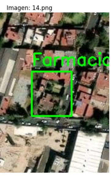
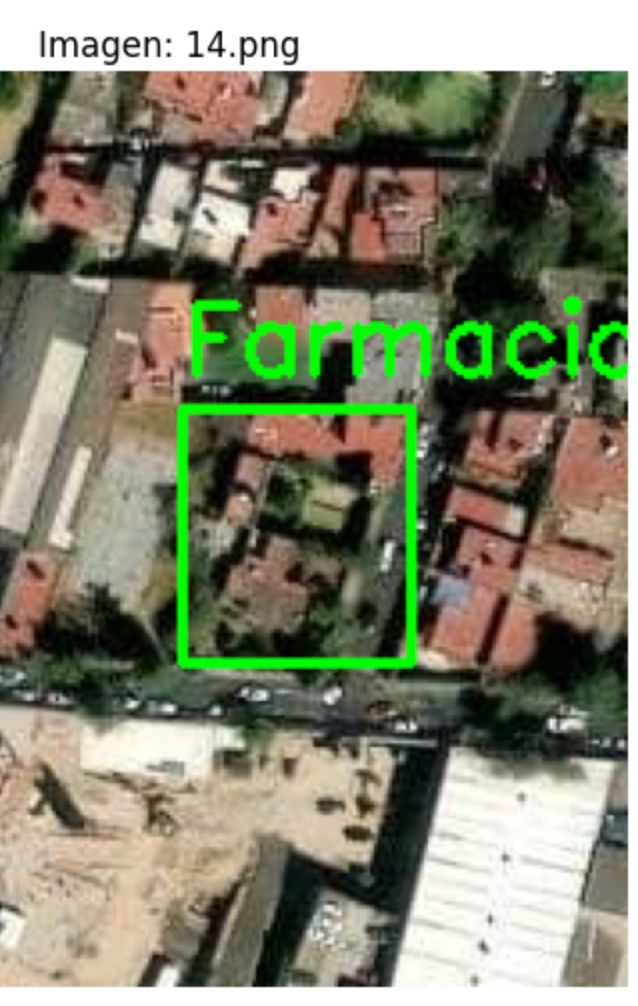
Drug Store Detection
-
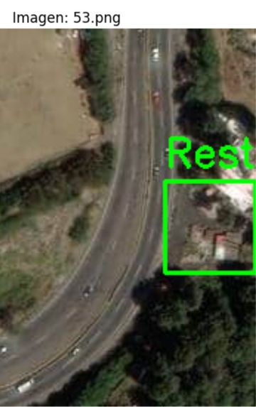
Restaurant Detection
-
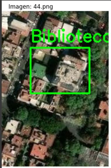
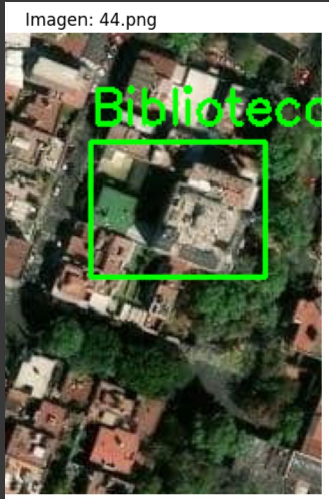
Library Detection

📖 About the Project
💡 Inspiration
This project was created as part of an initiative with HERE Technologies, who provided access to a rich geospatial database of roads and Points of Interest (POIs). The complexity of validating spatial data—especially when POIs are located near multi-digitized roads—inspired us to explore a hybrid solution that leverages both geospatial analysis and computer vision.
🧠 What I Learned
- Deepened my understanding of spatial relationships using libraries like GeoPandas and Shapely.
- Gained experience with HERE's APIs for retrieving satellite imagery.
- Learned how to apply YOLO (You Only Look Once) object detection to satellite images.
- Improved my skills in Python scripting, data cleaning, and coordinate-based logic.
🛠️ How We Built It
- Used Python as the primary programming language.
- Implemented spatial validation using
geopandas,pandas,BallTree(fromsklearn.neighbors), andshapely.geometry. - Integrated HERE’s API to fetch satellite imagery for further inspection of flagged POIs.
- Applied YOLO (from
ultralytics) for image-based object detection on the satellite views. - Managed image preprocessing with
cv2,PIL.Image,matplotlib, and utility scripts.
🚧 Challenges Faced
- Accurately modeling the spatial logic required to detect misplaced POIs near complex, multi-digitized roads.
- Balancing false positives and false negatives in image detection using YOLO.
- Handling varied coordinate systems and making sure spatial joins were consistent and precise.
- Ensuring file paths and dependencies were flexible enough to support different environments.
Built With
- and-jupyter-for-geospatial
- api
- built-with-python-(pandas
- geopandas
- here-api
- image-processing
- matplotlib
- numpy
- opencv
- pathlib
- pil
- python-dotenv
- requests
- scikit-learn
- shapely)
- yolo

Log in or sign up for Devpost to join the conversation.