Inspiration
What it does## Inspiration
Buying land is one of the biggest financial decisions a person can make, yet verifying a land document can still involve lengthy manual checks. A document may look legitimate while containing inconsistent information or boundaries that conflict with another plot.
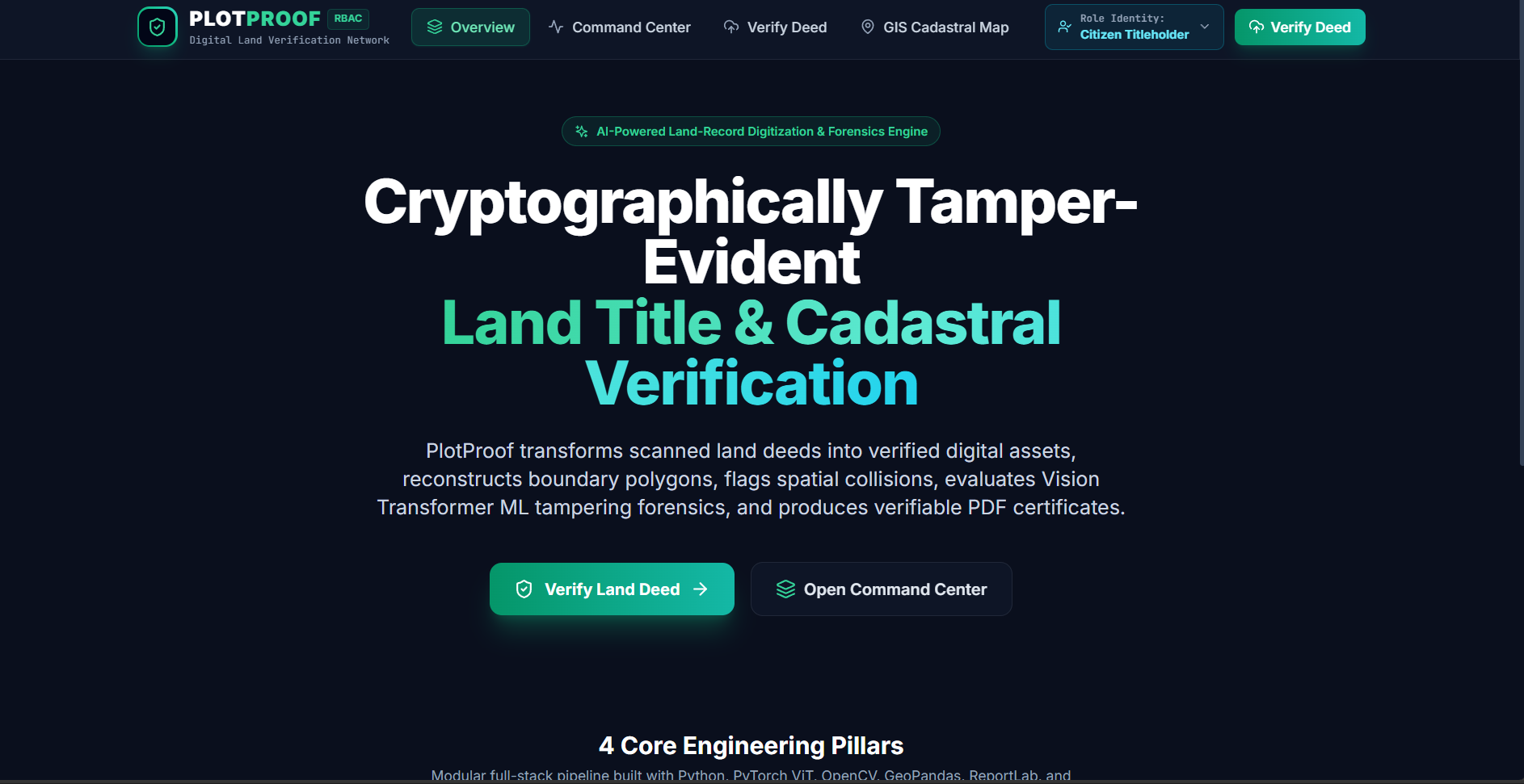
We wanted to build a system that helps identify these issues before a land transaction takes place. This led to PlotProof — an intelligent verification system that combines document understanding with geospatial validation.
What We Learned
Building PlotProof helped us understand how AI can be combined with traditional software and geospatial technologies to solve a real-world problem.
We learned how to:
- Extract meaningful information from scanned documents using OCR.
- Process and validate geographical data using GIS techniques.
- Use spatial operations to identify potential boundary conflicts.
- Combine AI-based document understanding with deterministic validation.
- Generate cryptographic fingerprints and QR-based verification for documents.
- Design a complete workflow from document upload to a user-readable verification result.
How We Built It
PlotProof starts when a user uploads a land deed or land record.
The document is processed using OpenCV and EasyOCR to extract relevant information. The extracted data is then structured and validated.
For geographical validation, we use GeoPandas and Shapely to process plot geometries and identify potential boundary overlaps or conflicts.
A FastAPI backend connects these components and manages the verification workflow. After processing, PlotProof generates a verification result explaining whether the document can proceed normally or requires further review.
A cryptographic document fingerprint and QR code can also be generated to provide a tamper-evident reference for the verification record.
Challenges We Faced
One of the biggest challenges was dealing with land documents that are often scanned, inconsistently formatted, or difficult for conventional text extraction systems to understand.
Another challenge was connecting information extracted from documents with geographical data. Text-based boundaries and spatial coordinates need to be handled carefully because even small inconsistencies can affect the validation result.
We also wanted to avoid making the system falsely claim ownership or automatically reject a transaction. Instead, PlotProof is designed to identify potential discrepancies and flag them for authorized review.
Why PlotProof
PlotProof brings together AI, OCR, document intelligence, GIS, and cryptographic verification into a single workflow.
The goal is simple:
Verify before you buy.
How we built it
Challenges we ran into
Accomplishments that we're proud of
What we learned
What's next for PLOTPROOF
Built With
- antigravity

Log in or sign up for Devpost to join the conversation.