-
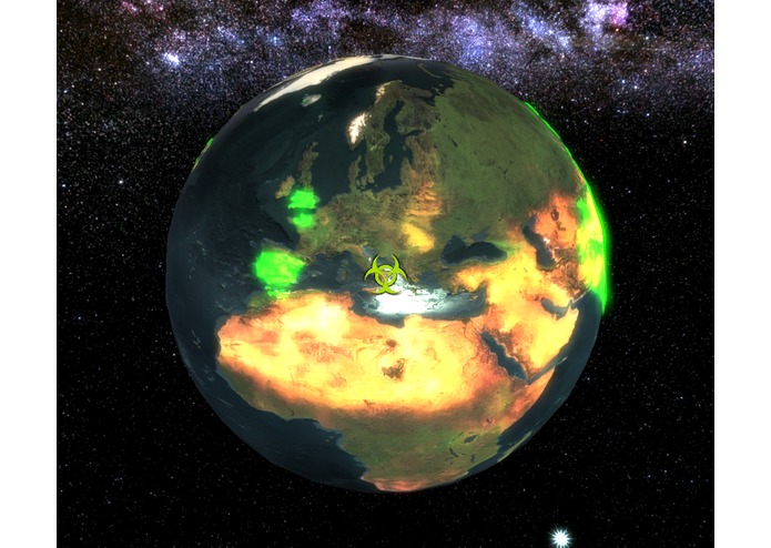
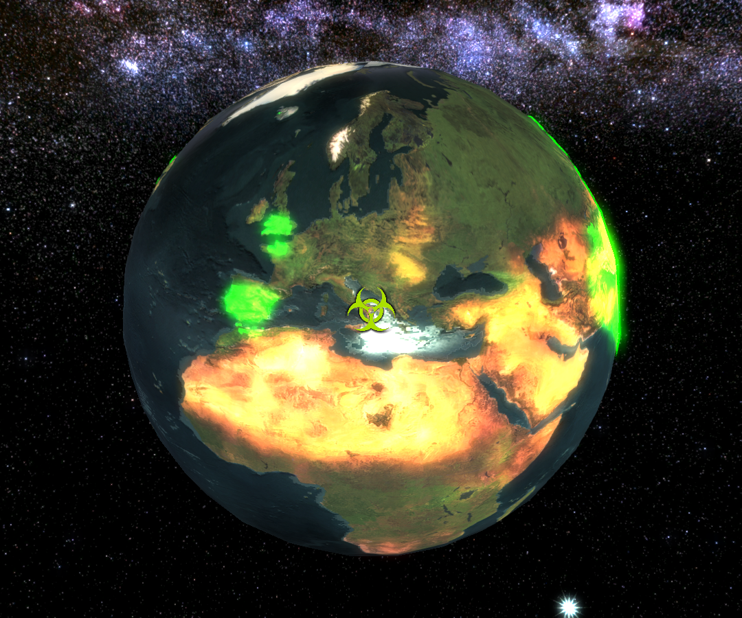
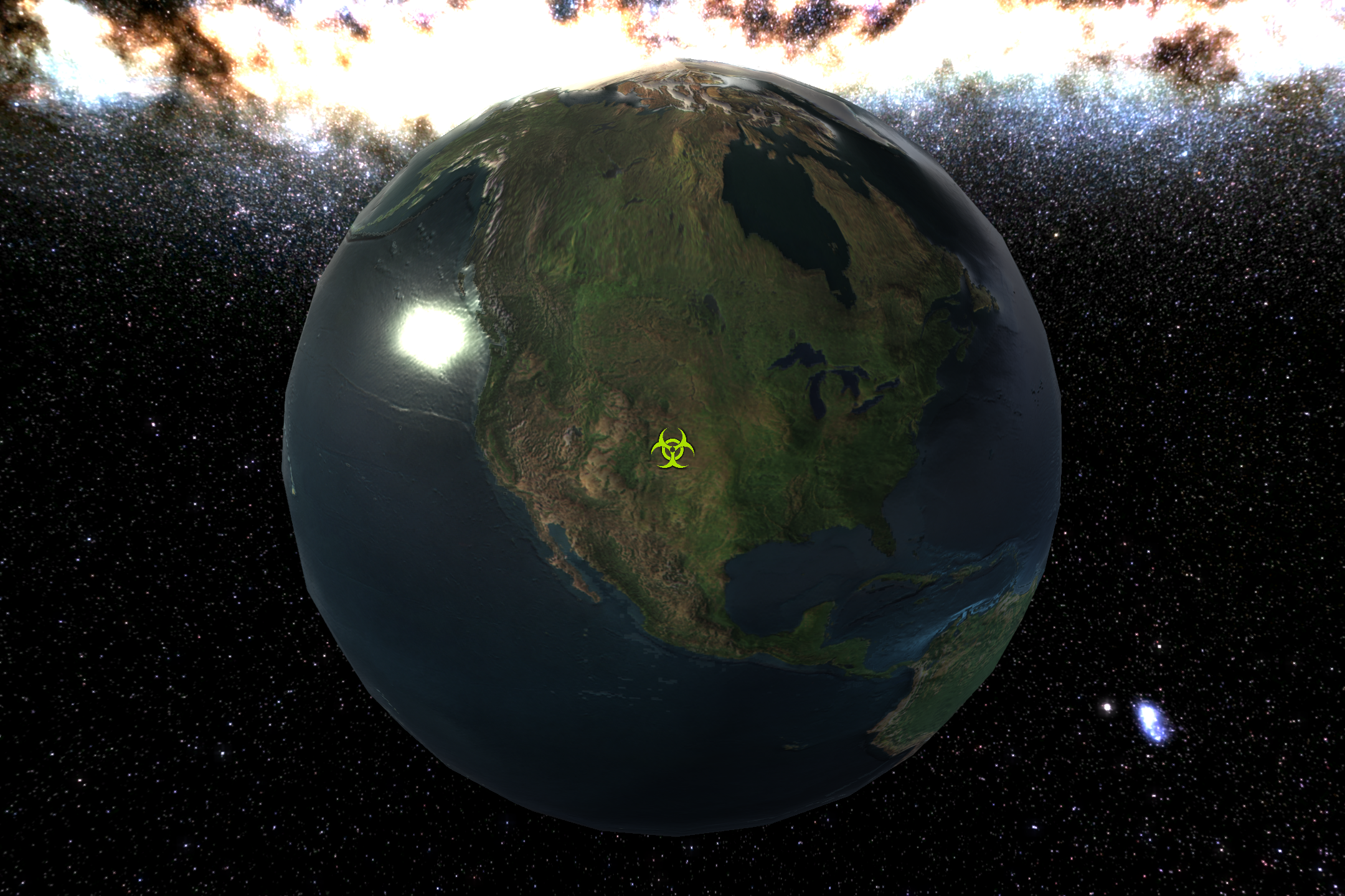
The earth visualization showing a simulated result affecting Spain, the UK, France, and various other portions of the earth.
-
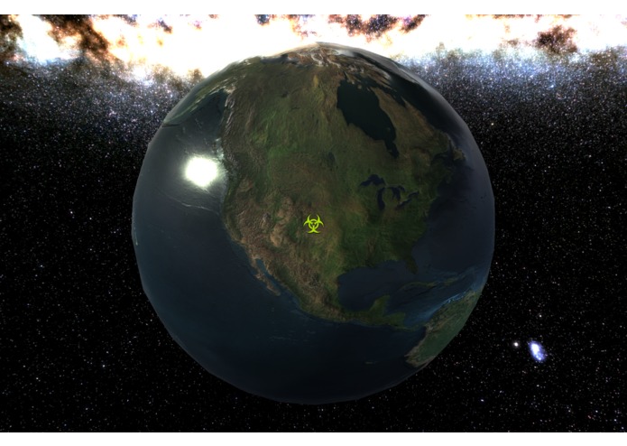
A pristine, untouched earth.
-
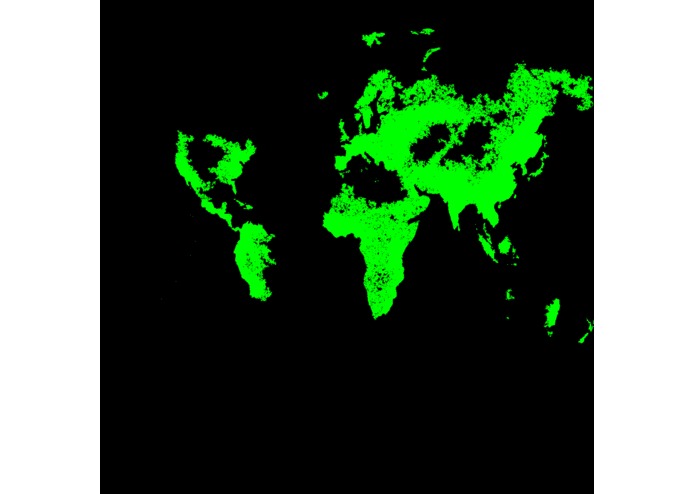
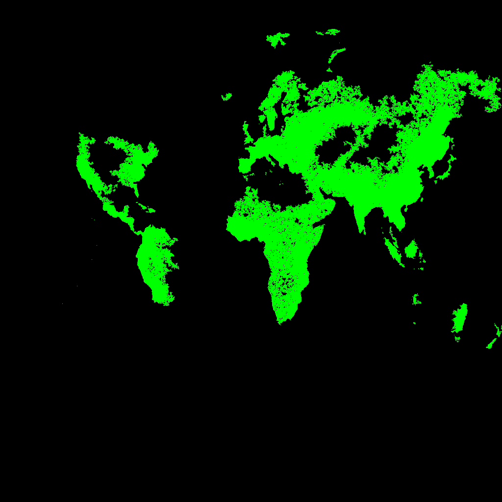
Raw output from the python file.
What it does
This project has two main parts. The first is a Python application that takes in a set of coordinates and generates an image visualizing the simulated spread of an infectious disease of some sort, taking the population density and average lifespan (as a proxy for quality of healthcare) into account. The second is a Unity project that takes in the results from the Python application and superimposes it on a detailed model of the earth.
How I built it
The visualization app was built in Unity using C#, making strong use of its features to create a dramatic impression.
Texture assets were made by heavily manipulating satellite photography of the Earth released by NASA.
Challenges I ran into
Initially, the plan was for the Unity application to open a compiled python application and send it the coordinates (based on where the user is 'looking') so that it could receive the map showing the spread of the 'disease' from the newly opened application. All of the infrastructure was set up, except for one thing... Python is an interpreted language with few options for compilation, and after hours of wrestling with Pyinstall; defeat was admitted.
Accomplishments that I'm proud of
We managed to create a reasonably fast algorithm for roughly simulating the spread of illness. I also really like how the 3d visual turned out in terms of lighting (less so in terms of texture UVs).
What I learned
Lots of python, and a bunch of SYSTEM functions in C#.
And that there's a python library for everything.
Pandemics can be scary, yo.
And a bunch of cool stuff during the Lockheed talk (unrelated).
What's next for Plague Earth
More wrestling with Pyinstall until it b r e a k s!


Log in or sign up for Devpost to join the conversation.