-
-

a logo for v1 of the name
-
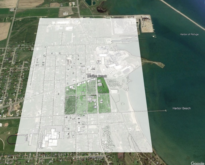
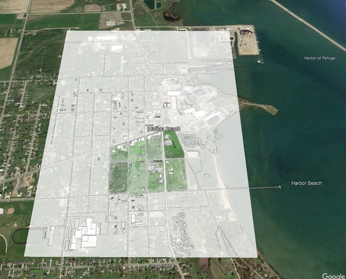
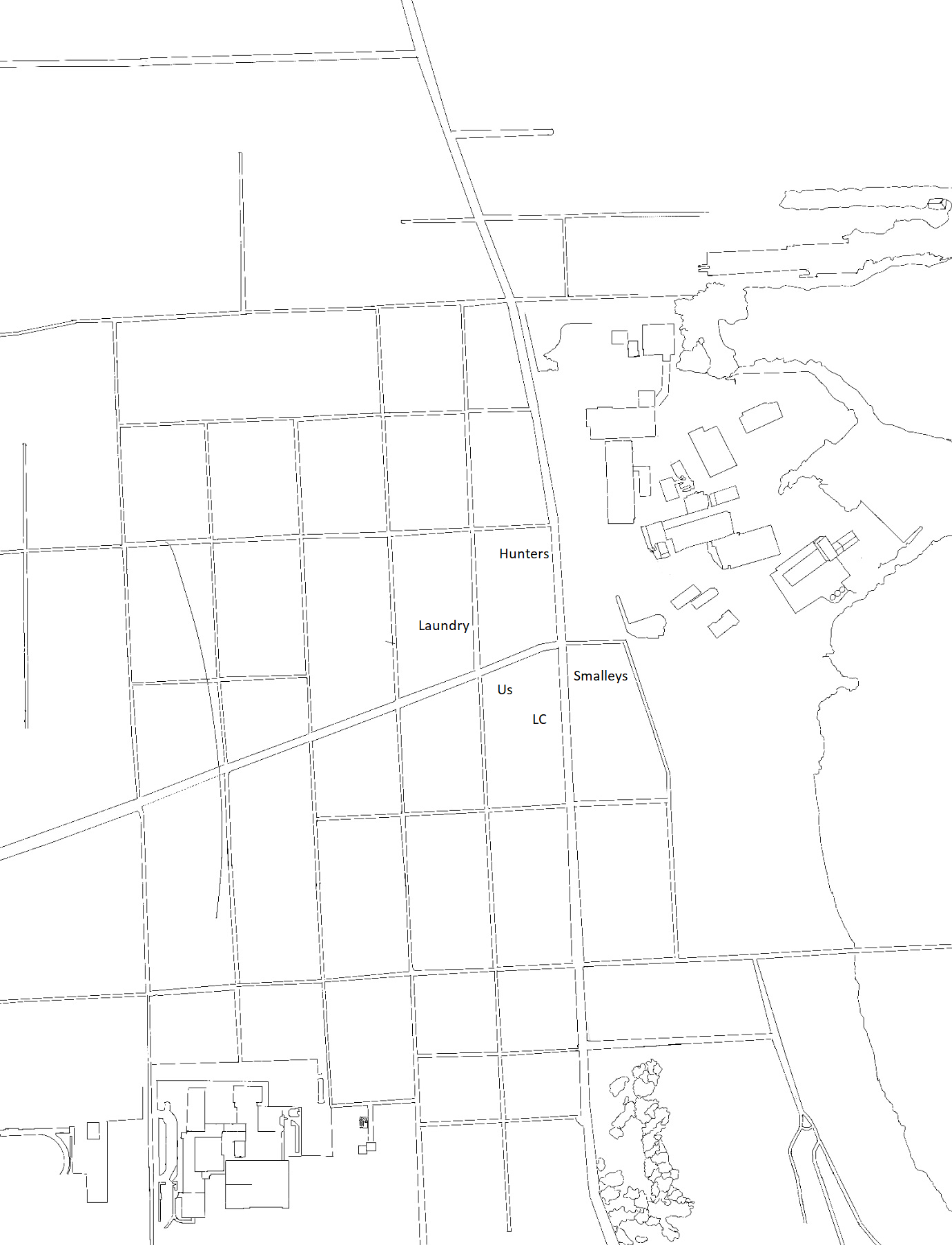
an overlay of v3 of the map in Google Earth
-

-

-
-


Inspiration
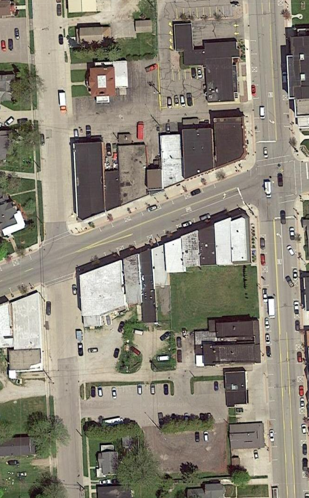
We wanted to work on some kind of project, saw this, and spent a couple days working on a related project. Inspiration for the actual map? Maps, here, isn't very accurate. Maybe 30% of the businesses are listed properly, the satellite imagry is at least 6 years old, and maps could/should be more focused on City centers, for economic development purposes.
What it does
Vector, or "Hometown"(still figuring out name) puts a hand-drawn, up-to-date, visually-appealing local map on top of existing Google Maps technology, with a complete index of local businesses & attractions, and simple contact/info features.
How we built it
Jordan worked with ProCreate to sketch the road grid of our city, and make the map. Chad used the Maps API to overlay that map onto the Google Map, turned that into a webapp with HTML & JavaScript. Stripped the UI, limited the users ability to zoom*, and started the map in the center of the business district, rather than the users GPS position. Figured out a dozen things, made the app, or at least a good start on the app.
Challenges we ran into
Didn't find out about this until it was almost over, so time was the biggest challenge. Not much of a coder, so had to learn the Maps API and a lot of JavaScript in a short period of time. "GroundOverlay" was challenging; had to import the map image into Google Earth and line it up with Earth to get coordinates, then learn how to convert coordinates from DMS to LatLng...
Accomplishments that we're proud of
Built a hyper-local map, in an artistic format, with some new features & UI ideas, in a couple days.
What we learned
Learned a lot of JavaScript, and (some of) the Maps API. Learned Google satellite imagery is at least 6 years old (here, anyways). Learned it feels nice to sit down for a couple days and bust a project out with minimal distractions.
What's next for Vector
This could be our cities map app, come summer, so we need to spend more time on the art & the code, get it tuned in, and "launch" it properly to the community.
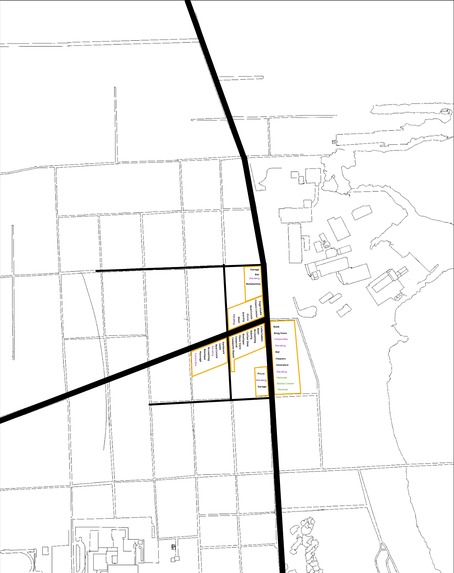
I got the 'Markers' started, but wasn't able to display the Places API in time. One of the uploaded images includes all of the current active businesses, so all of that needs to be manually added.
Can take it to the next Chamber of Commerce meeting to show them, possible customer opportunity.
A screenshot of the map can be taken and printed in an upcoming collaborative brochure effort by our local museums, as a local attractions map.
Built With
- google-cloud
- google-maps
- groundoverlay
- javascript

Log in or sign up for Devpost to join the conversation.