Inspiration
You scroll through your photo gallery or have images that are untagged for location. You see a friends vacation photos and you want to know exactly where the picture was taken on a map so you can plan your next travel destinations. That's where Pixs and Places comes in!
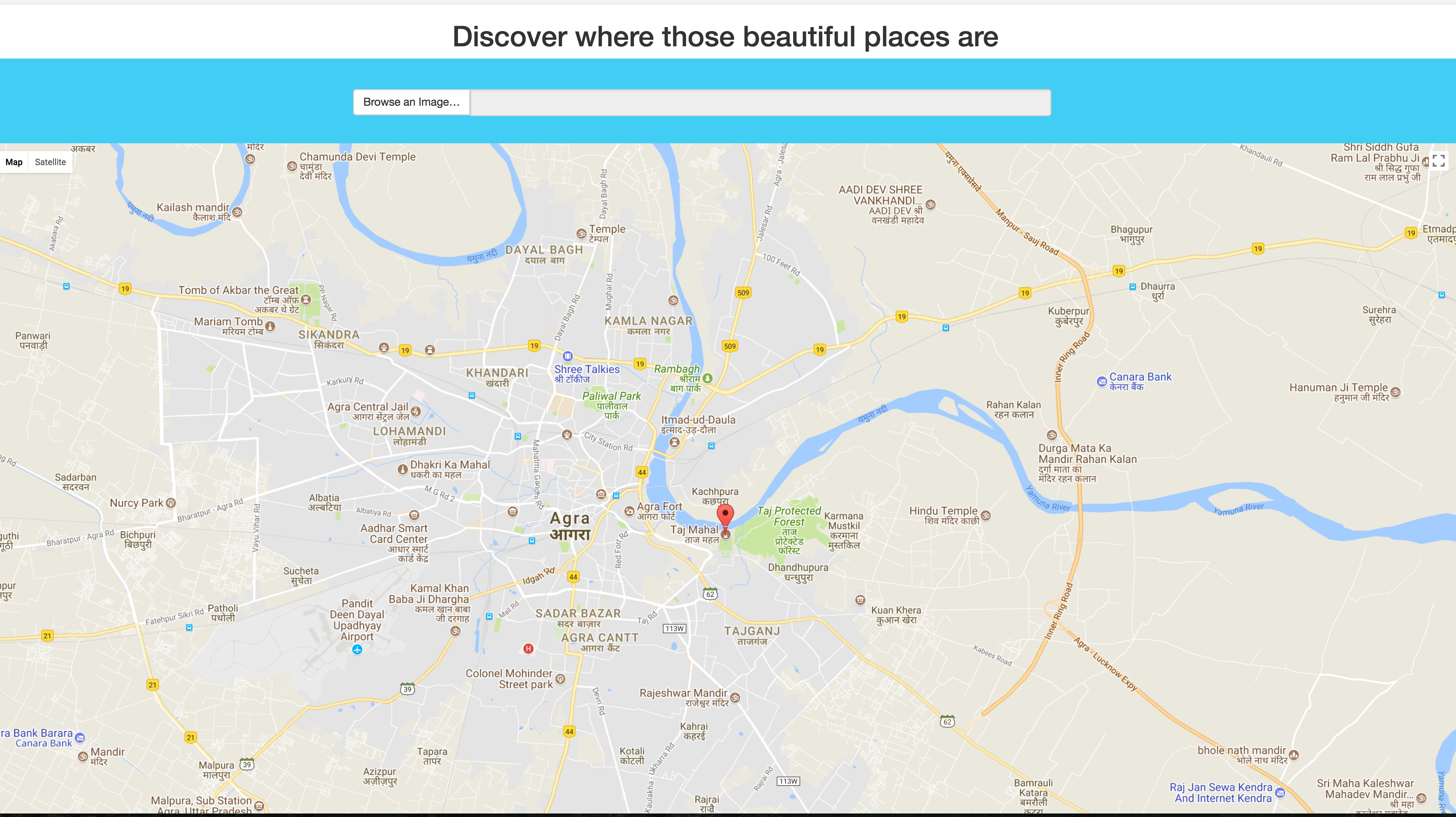
What it does
You can upload a picture to our web app and within milliseconds, we map the location using Google AI rendered to the page.
How we built it
We leveraged the Google Vision API and Google Maps API. On the front-end, we used HTML/CSS/JS. On the backend, we used Python and Flask to run our server.
Challenges we ran into
We had difficulty communicating between the front-end and back-end as well as understanding the use and idea behind base60 binary image files
Accomplishments that we're proud of
We were able to complete a working web app which completes the task we aimed to complete
What we learned
We learned about HTTP protocols, AJAX, parsing JSON files, the Google Cloud Platform, Debugging and Teamwork!
What's next for Pixs and Places
We hope to take pictures of food and map their locations to help people find the places/restaurants they love. Additionally, we are working on an ML model that will learn how to detect the occupancy of bicycle parking spots to assist in traffic flows and convenience. Since this takes a lot of time for us to tag images and train the algorithms, we weren't able to fully complete that feature during the hackathon, but were able to detect bicycles.

Log in or sign up for Devpost to join the conversation.