-

A sample of our code
-

Sebastian Braun working hard
-

A quick team photo
-
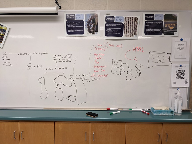
A small drawing of Pinpoint in its first rendition
-

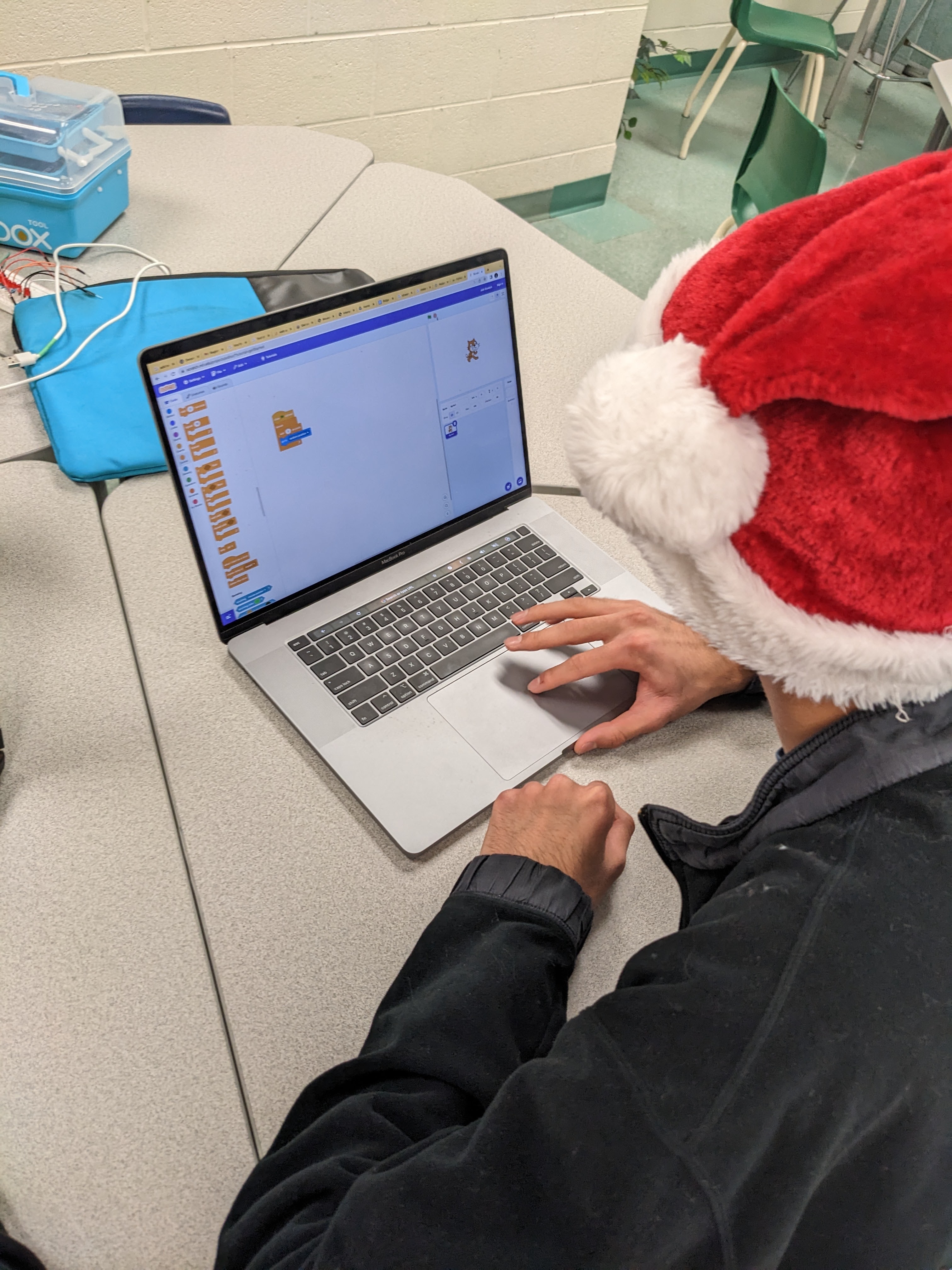
Owen Crick working hard
-

Mekyle Hemani working hard


Our inspiration for Pinpoint was making those long hours of country research and history regarding them down to a single local python program.
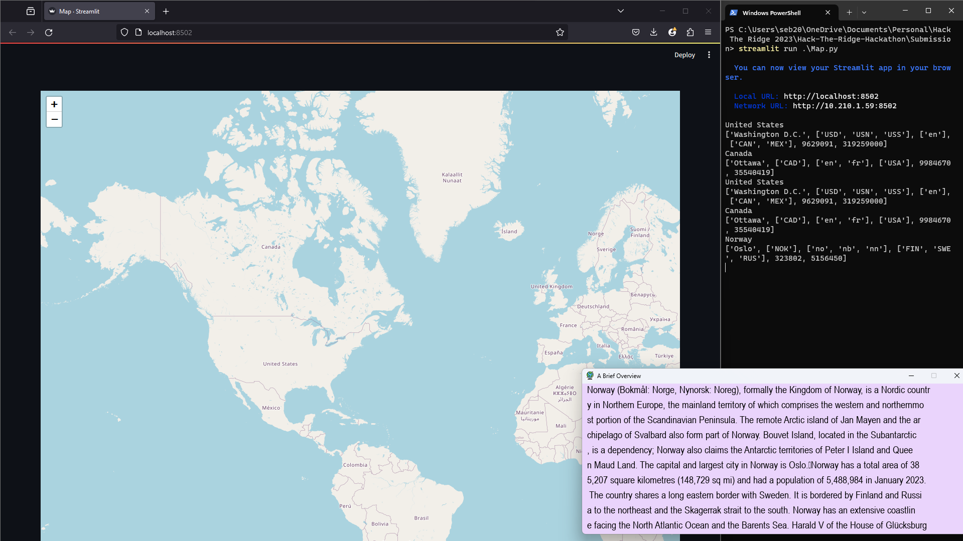
Pinpoint is an easy to use python script that displays a point-and-click map allowing all users of all ages and different OS to gather informational data for home research or projects that take those longs hours of school.
We used Folium, Streamlit, Wikipedia, Pygame, Pathlib, Platform and Countryinfo and imported them all into a mass python script with hours of work. This took multiple different variations including switching from basic Folium to Steamlit_Folium.
Our original thought was to use Google Earth's API however we instantly noticed that this was much too complicated of a library to work with. We also had problems with integrating some HTML for our integrated map with python as well as .JSON files.
Pinpoint is a tool that we spent lots of time working on and refined it to be the best possible version that we could have made it in this time. We are proud of how it is available and usable to all people and how intuitive and simple it is to operate.
We learned that you should always take a few minutes before you get started to really think "Can you get this project done?" and that sometimes your project wont always come out perfect, but no matter how the clock is ticking, you have to keep pushing, GIT pushing.
What's next for Pinpoint? Pinpoint could have some flaws in terms of getting inaccurate or outdated information. We would definitely implement reliable AI to get the most accurate information through compiling from multiple sources on the WEB.

Log in or sign up for Devpost to join the conversation.