-
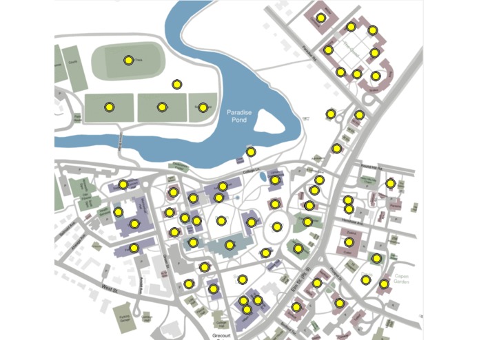
map not clicked
-
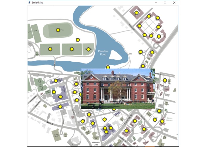
map after clicked a certain point
photoMap
a map that presents pictures to help people navigate around the campus better

Updates

Leave feedback in the comments!
a map that presents pictures to help people navigate around the campus better
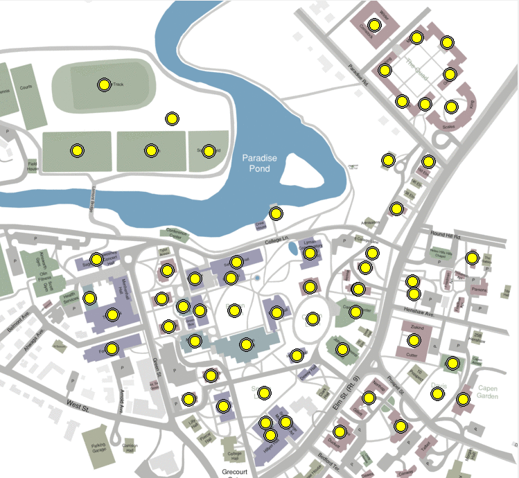
map not clicked
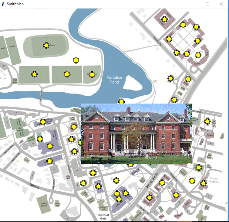
map after clicked a certain point
Leave feedback in the comments!
Log in or sign up for Devpost to join the conversation.