-
-
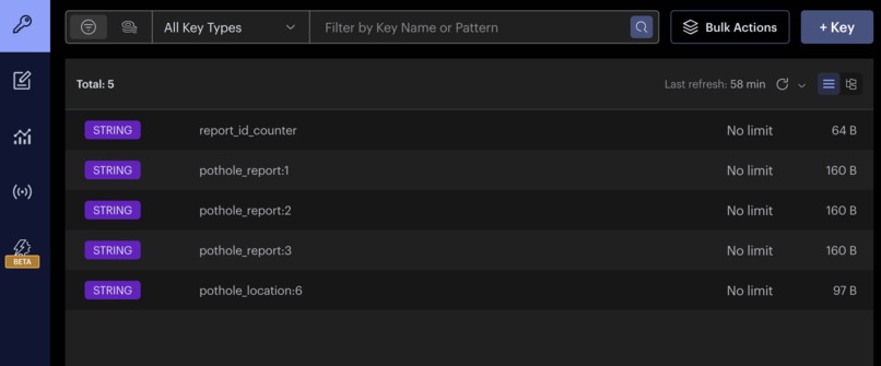
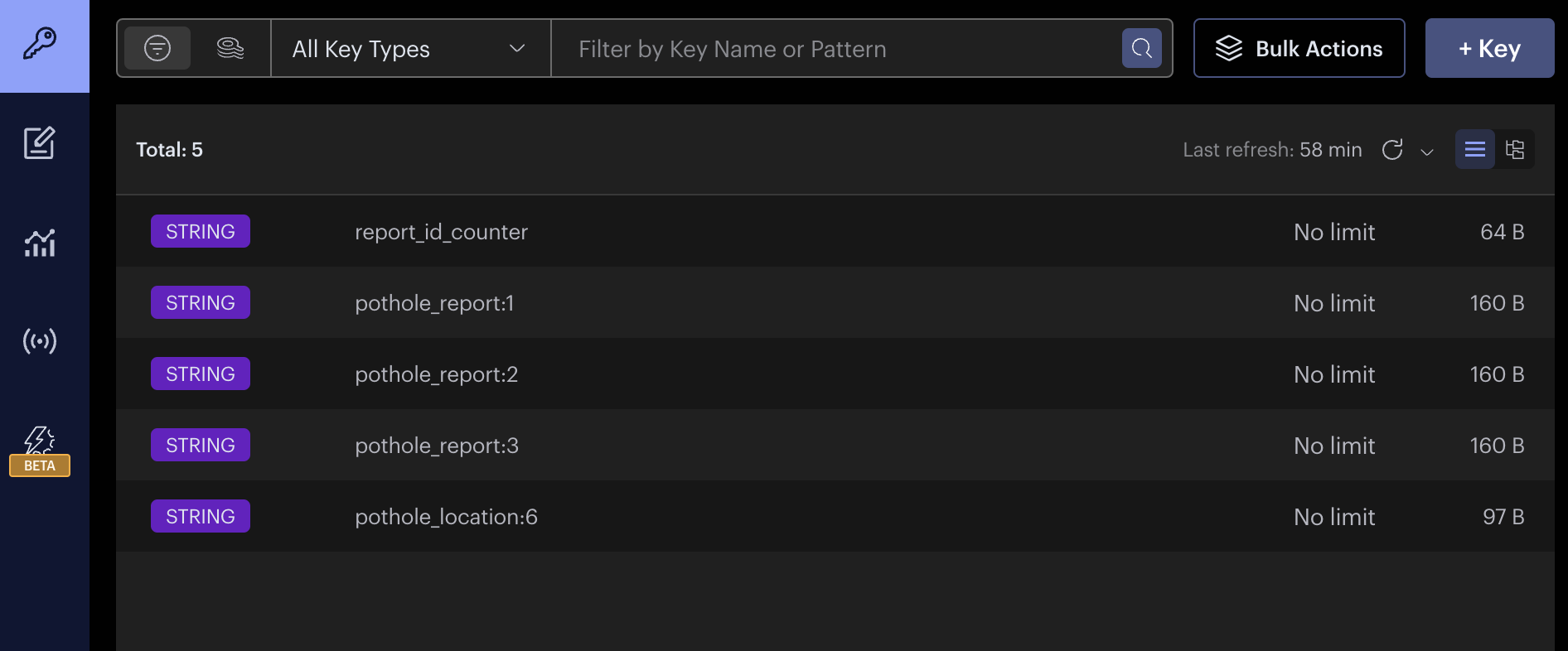
RedisInsight
-
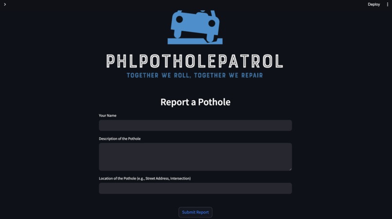
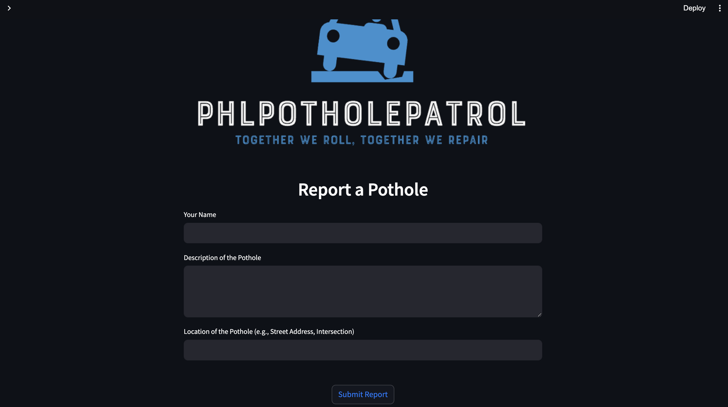
Pothole Form Submission
-
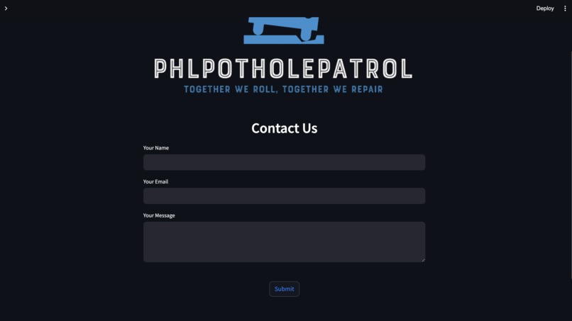
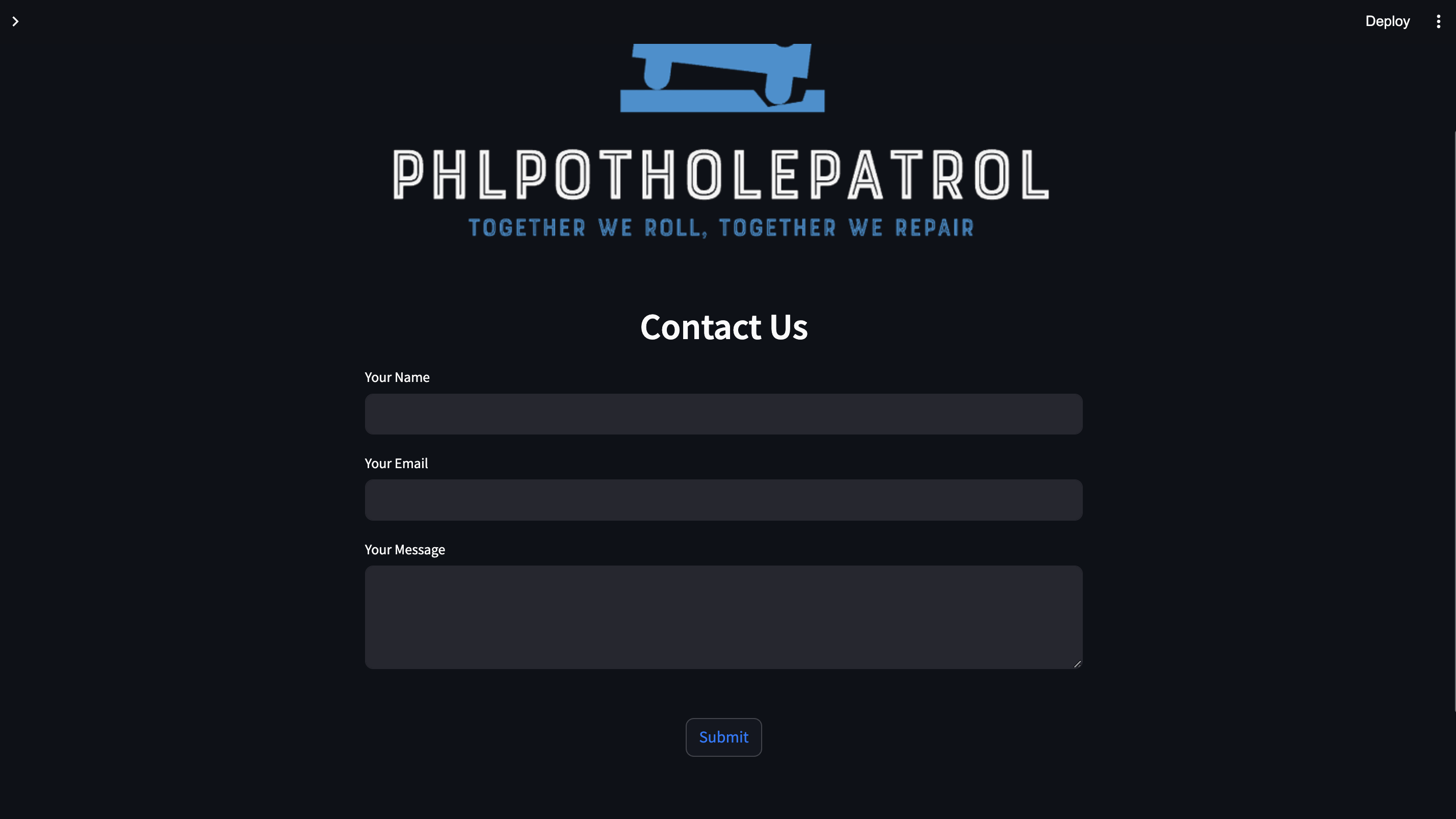
Contact Page
-
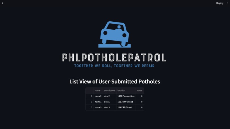
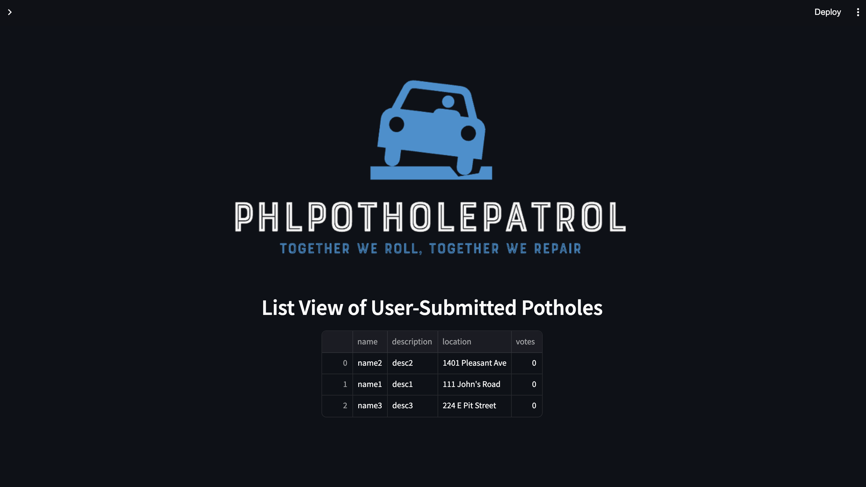
List View
-
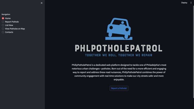
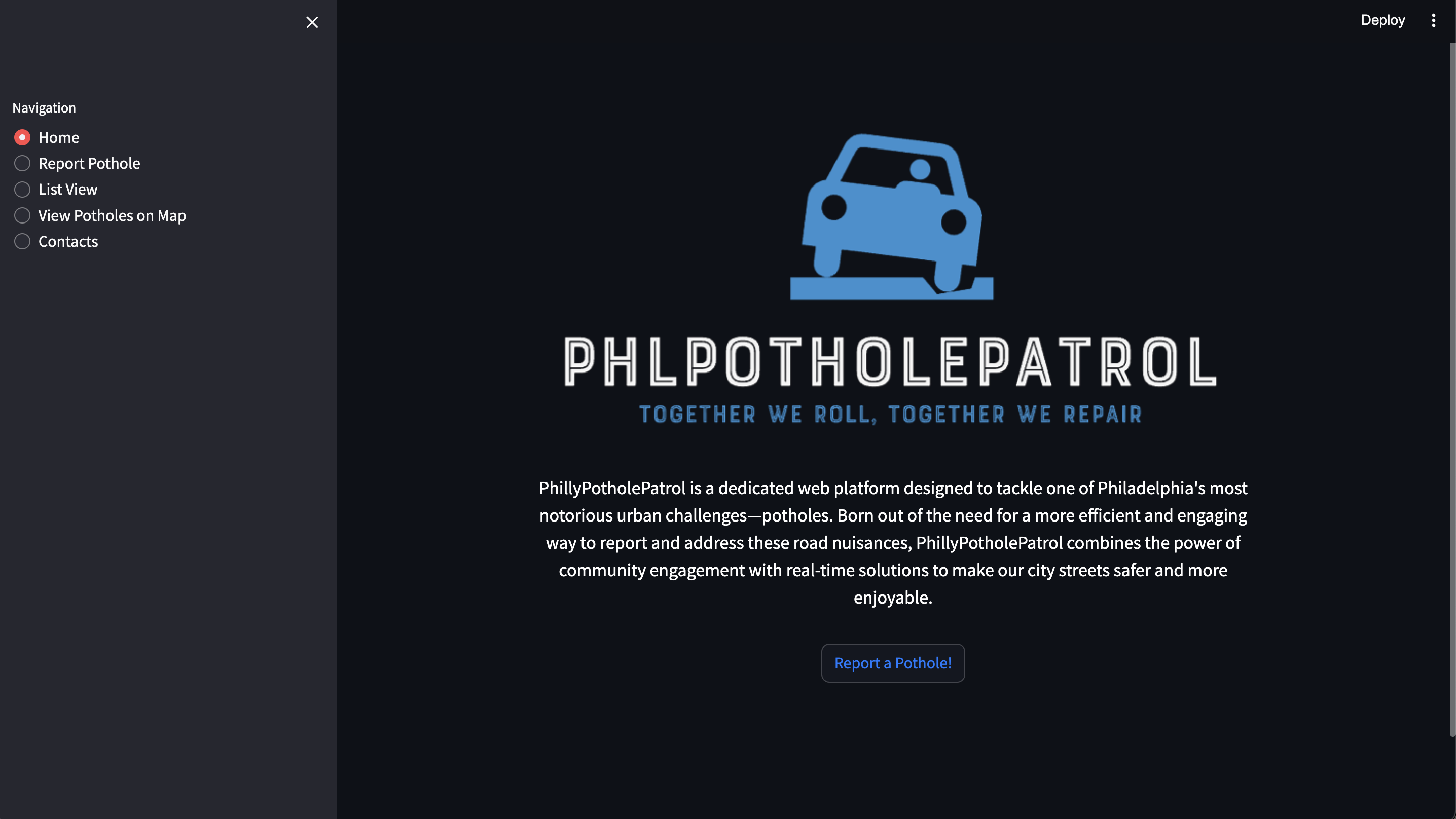
Home page and Sidebar
-
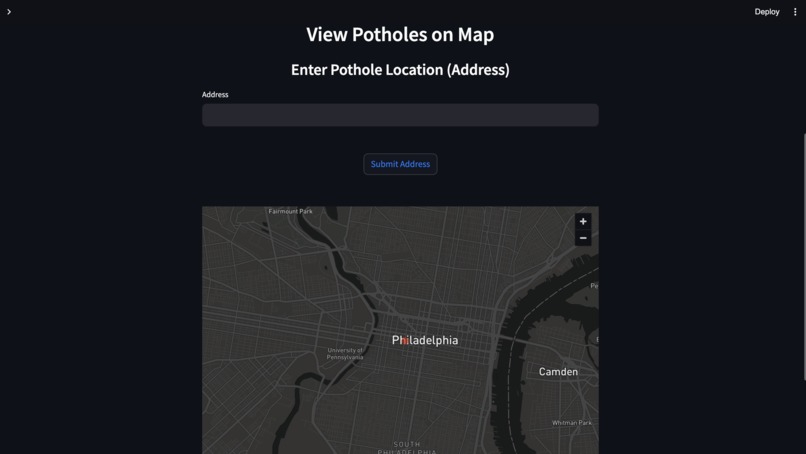
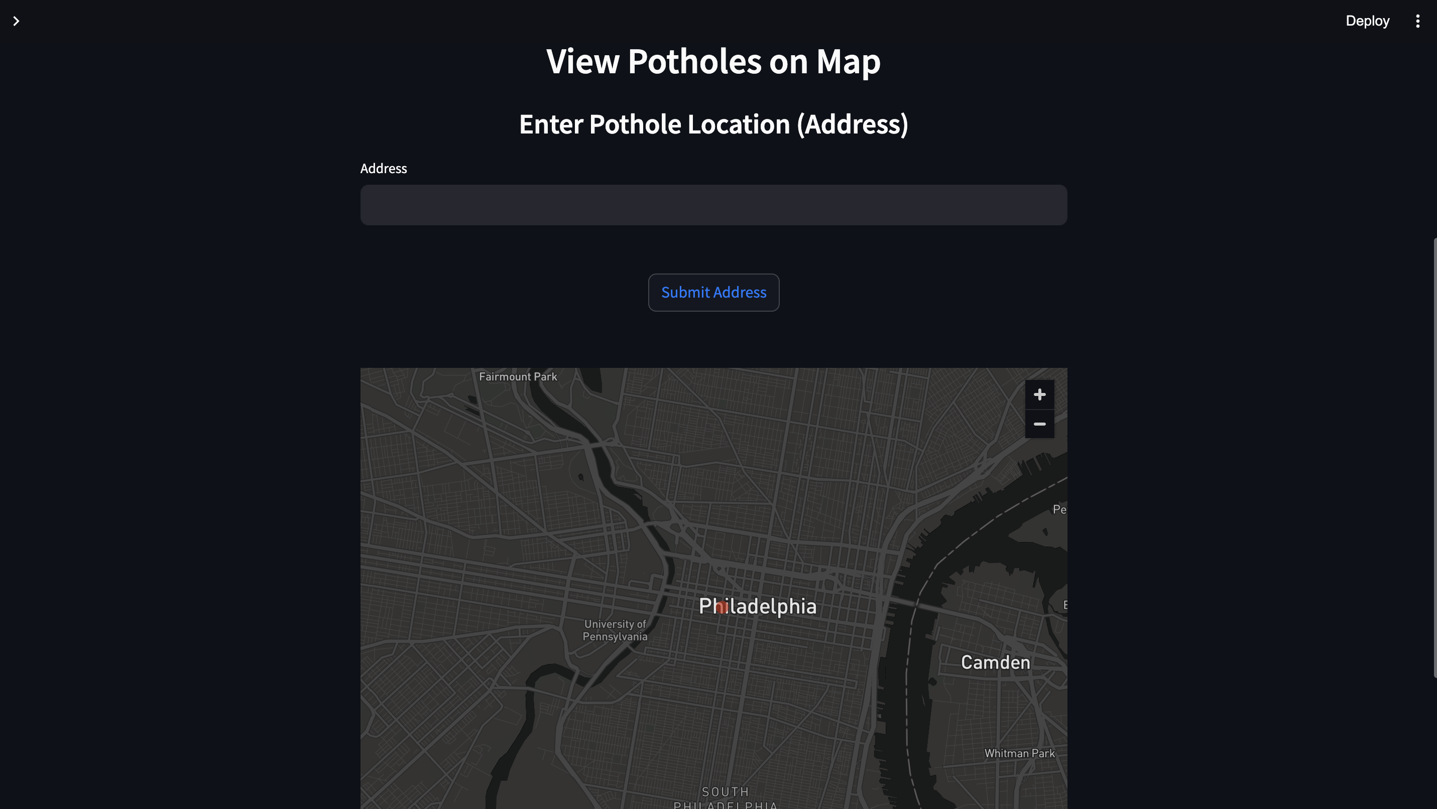
Interactive Map View
Inspiration
My project, PhillyPotholePatrol, was inspired by the need for a more efficient way to address the persistent issue of potholes in Philadelphia. As a Philly native, I wanted to empower the community to actively participate in making our city's streets safer and more enjoyable.
What it does
PhillyPotholePatrol simplifies reporting and visualizing potholes in Philadelphia. Our user-friendly platform, powered by Streamlit, stores data in Redis, and employs Nominatim for geocoding. It streamlines the process of reporting potholes and viewing them on a map, promoting civic responsibility.
How we built it
I built PhillyPotholePatrol using Streamlit, HTML, and CSS for the front-end interface. The back end relies on Redis Cloud for data storage. User-submitted potholes are stored onto the database and can be viewed as both a list and on an interactive map. The back end also relies on Nominatim for geocoding user-inputted addresses into latitude and longitude coordinates.
Challenges we ran into
One significant challenge was integrating geocoding services securely due to SSL verification issues. I also had to ensure that user-submitted addresses were accurately converted into coordinates and displayed on the map effectively. Another challenge was programmatically creating the keys to store the user-submitted potholes to display on a map. Overall, the project taught me valuable lessons in web development, data storage, and user engagement.
Accomplishments that we're proud of
I'm proud of the progress I was able to make as a solo on this project. I was able to incorporate all the main features that makes the vision I had for the project come true. I'm also proud of being able to learn Redis Cloud in a day and implement its database into my own project.
What we learned
During the development process, I gained insights into leveraging cloud-based databases like Redis Cloud for data storage and fetching. Additionally, I learned the importance of user-friendly interfaces with the use of Streamlit and geocoding services like Geopy.
What's next for PhillyPotholePatrol
There were so many things I wanted to implement, but didn’t have the time to due to the 24 hour constraint. One future step is to make this web app into a mobile application for easier access and push notifications. Another step is to improve the social aspect by creating a comment system and allow users to share submissions for wider reach. The last step is to connect this project with city authorities, so that the community and officials can work together to find a solution for a common problem.

Log in or sign up for Devpost to join the conversation.