-
-

Travel Safely with Path Pal!
-
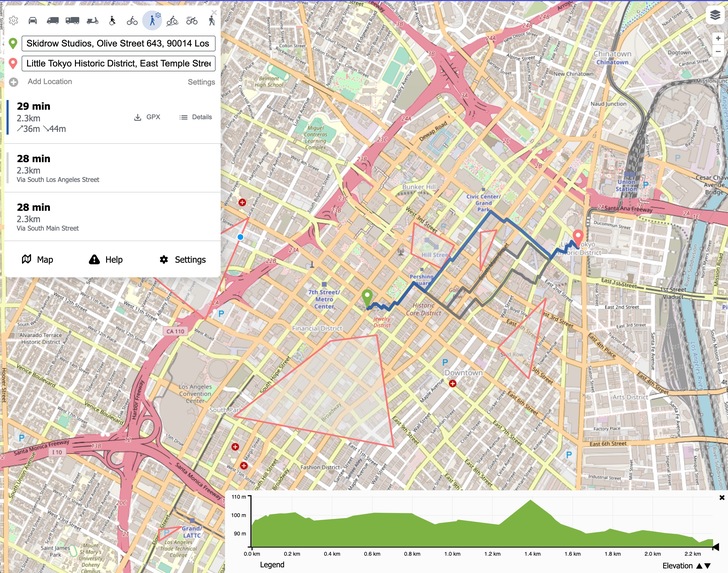
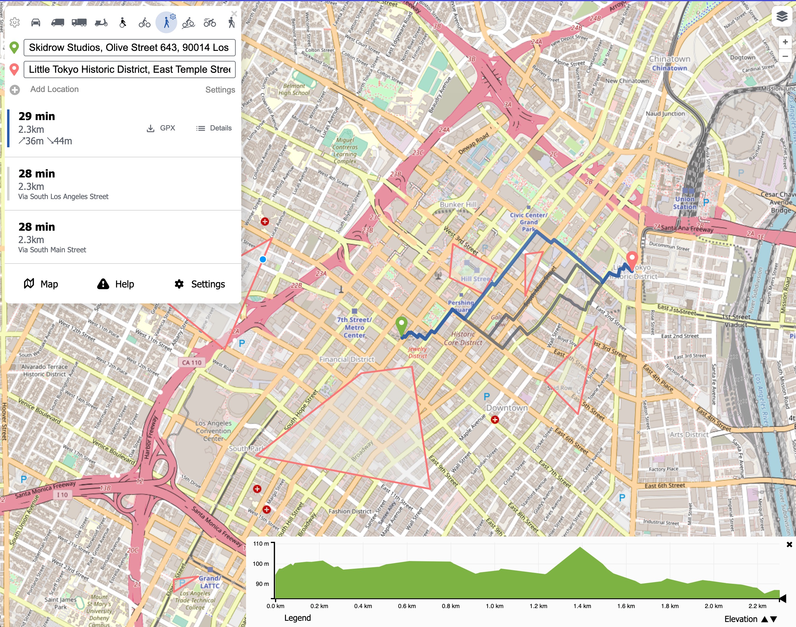
Navigation avoiding Danger Zones
-
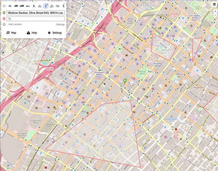
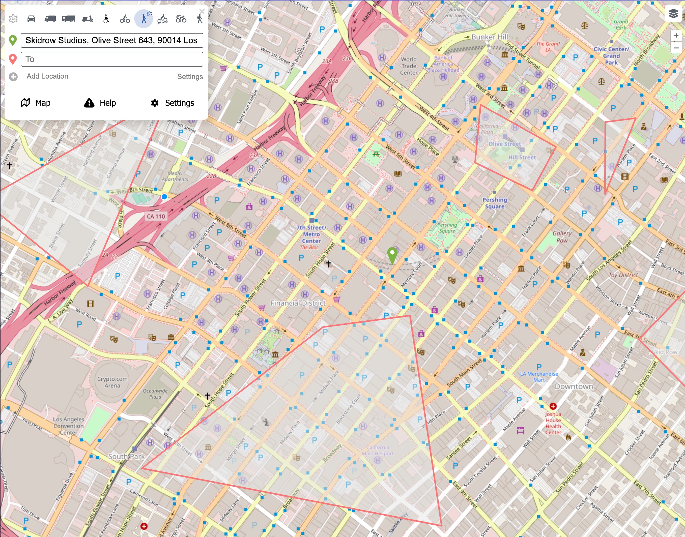
Landing Page w/Danger Zones

Inspiration
Los Angeles isn't exactly the most friendly city for commuters, especially for women. We decided to spring into action by creating an app that helps to find the most optimal path to your destination while keeping in account crimes committed in the area.
What it does
Our app increases our users' safety by providing them with the most optimal path that prevents them from walking through high-crime areas. We also have a functionality where users can access a panic button that will automatically contact their emergency contact to alert them of trouble.
How we built it
Technologies used:
- ReactJS
- Python + Java
- Typescript
- GraphHopper (Route Optimization)
- Auth0
Challenges we ran into
The main challenge we ran into was figuring out how to aggregate the data and then apply our data to the edge weights in the map.
Accomplishments that we're proud of
We analyzed data from police reports from within the last year and found patterns in criminal activity in the area depending on the time of day.
What we learned
We learned more about the applications of shortest-path algorithms and how to analyze data.
What's next for PathPal
We hope to make a map overlay that displays hotspots of crime to avoid and also create more resources to ensure the safety of our users.


Log in or sign up for Devpost to join the conversation.