-
-

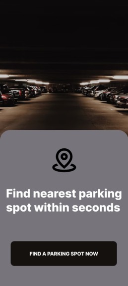
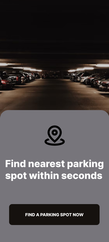
User interface of our application
-

This is logo of our application.
-
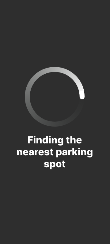
User interface of our application
-

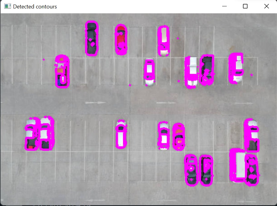
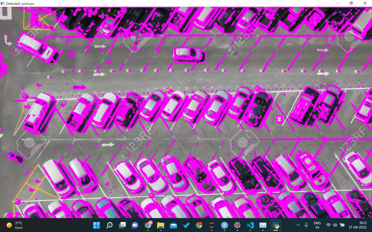
output we got using python ml open cv.
-

output we got using python.
-
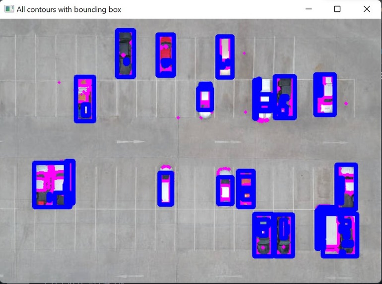
output we got using python ml open cv.

Inspiration : Travelling to faraway places has become more comfortable and quicker due to the boom in the automobile industry. But it comes with the limitations of the availability of parking lots. One of the perils of living in the cities is the insufficient space for parking our cars in the neighbourhood. Delays in finding a parking spot leads to late arrivals, unnecessary fuel consumption and unwanted chaos. Wasting fuel increases air pollution and carbon dioxide emissions owing to increased friction by tyres .Blocked traffic on sideline roads may encourage road rage. So, to avoid such issues, we hereby bring you our application : "ParkXPRT"
What it does this application is based on machine learning and deep learning. Initially ,detects your current location . Then it loads the satellite images of your location. Finally using machine learning and deep learning concept it marks the already parked spots and leaves the parking spots unmarked. This process makes it easy to locate. It also promotes sustainable development by saving time and hence, saving fuel.
How we built it This project is a three-tier architecture program which focuses on applying CNN using opencv of python to focus upon the availability of parking spots in the area. The user can access through the User Interface end to apply for a quick spot to find through which our algorithm using Satellite Imaging applies CNN algorithm providing our User the exact location.
Challenges we ran into :- 1. )first, to get the images of real-time information of the area by scanning for the parking. 2.) second was to mark the parking spots correctly. It is important to mark the spots where the cars are parked and to leave the spots unmarked where the cars are not parked. 3. To not breach anyone's privacy, we restricted ourselves to use drones or any live-capturing real time equipment
Accomplishments that we are proud of we were able explore in depth the power of machine learning and deep learning. We were able to explore what satellite images look like and witness its power.
What we learned machine learning and deep learning using opencv package.
What's next for ParkXPRT - ParkXPRT is at a very raw stage now it needs more refining. First of all technology required for real time satellite images is not available now but when it will be then our app would be more practical. We can also add features like paying for parking through app and reserving parking spots for better user experience. As we would be using satellite images so it has a lot of potential as far as scalability is concerned and in the future our idea would prove to be very useful.
Built With
- angular.js
- figma
- node.js
- opencv
- pycharm
- python
- visual-studio


Log in or sign up for Devpost to join the conversation.