-
-
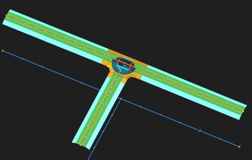
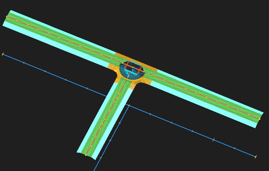
T Intersection
-
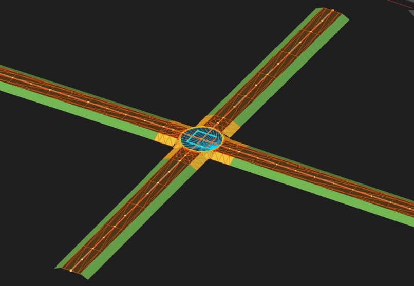
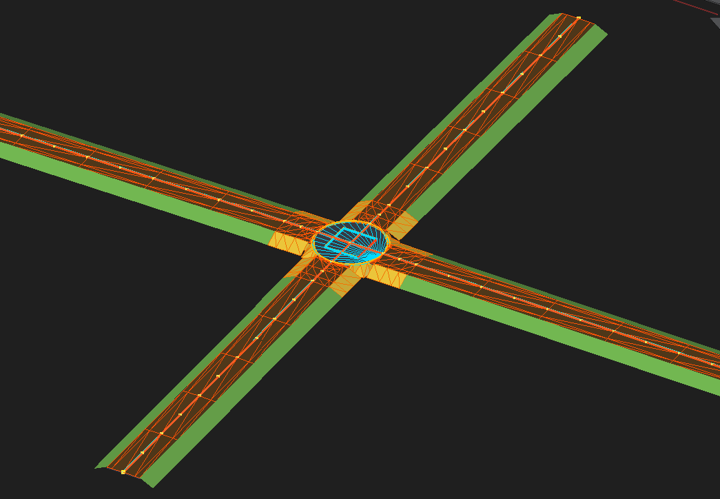
Cross Intersection
-
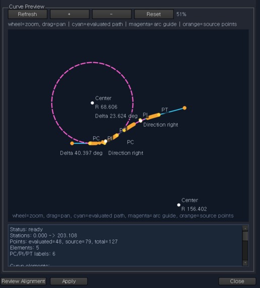
Alignment
-
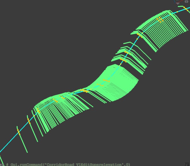
Applied Sections
-
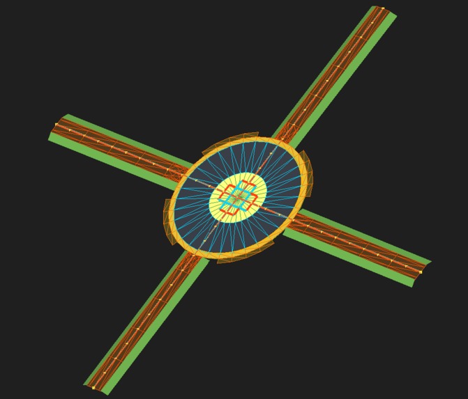
Roundabout Intersection
-
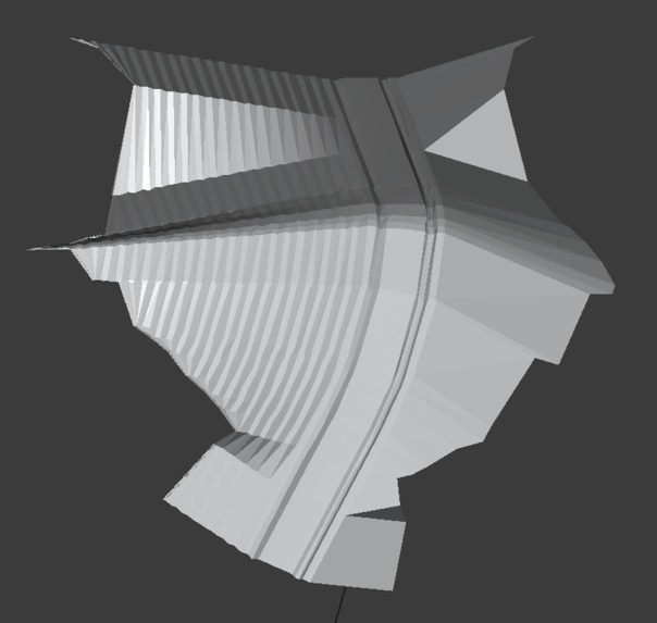
normal road with material
-
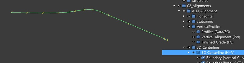
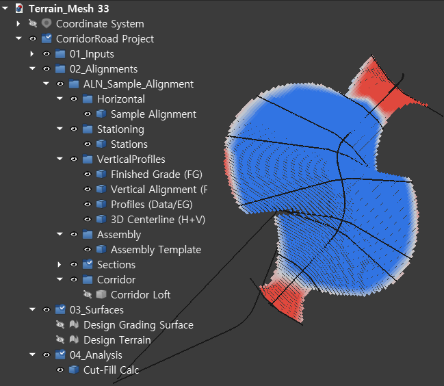
Tree View
-
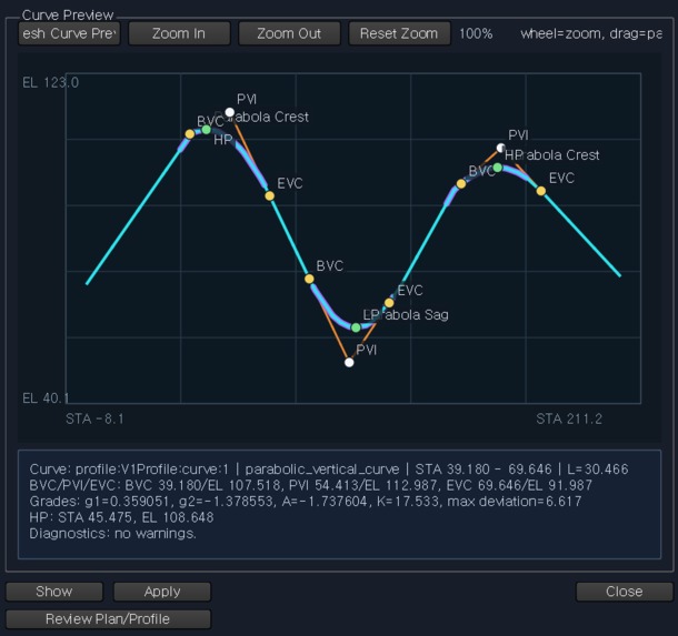
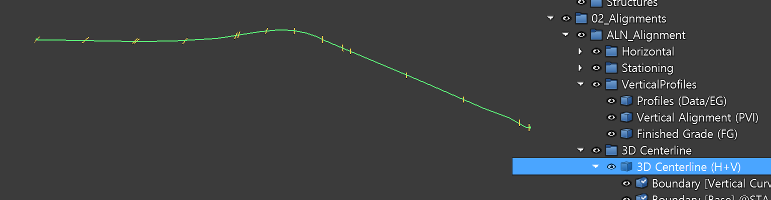
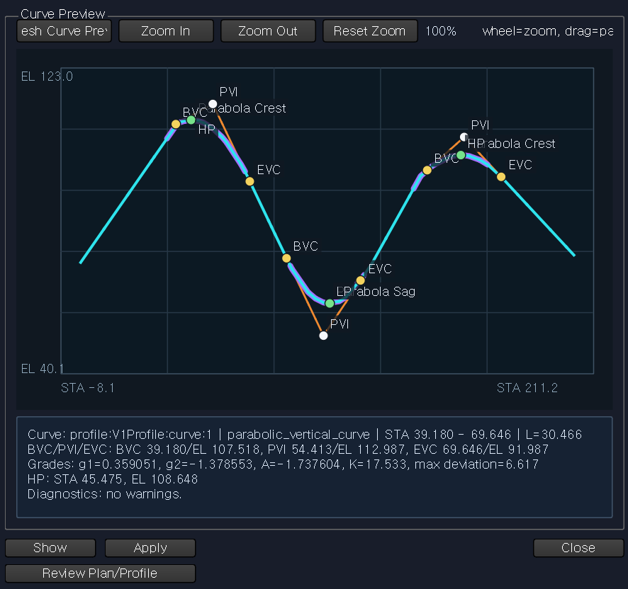
Profile
-
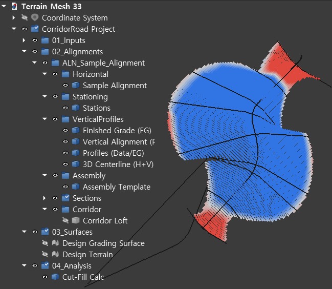
Cut and Fill
-
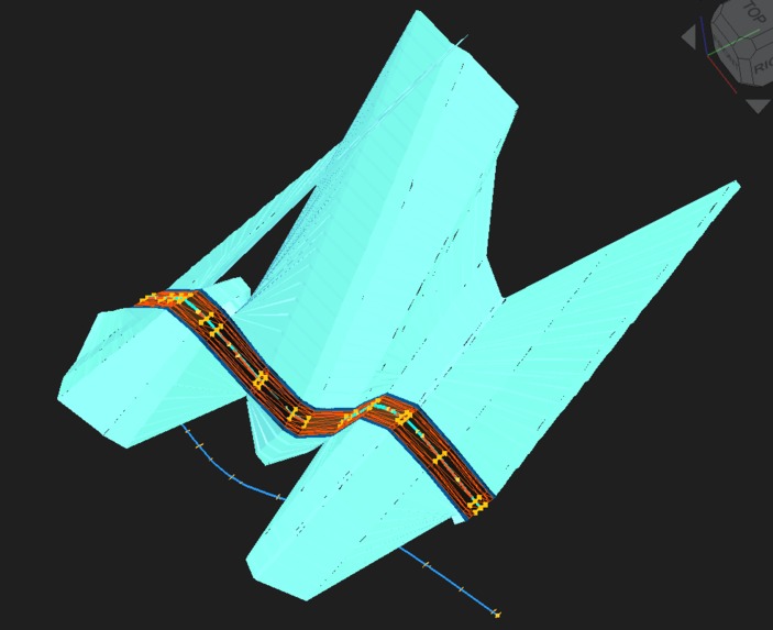
Normal Road with side slope
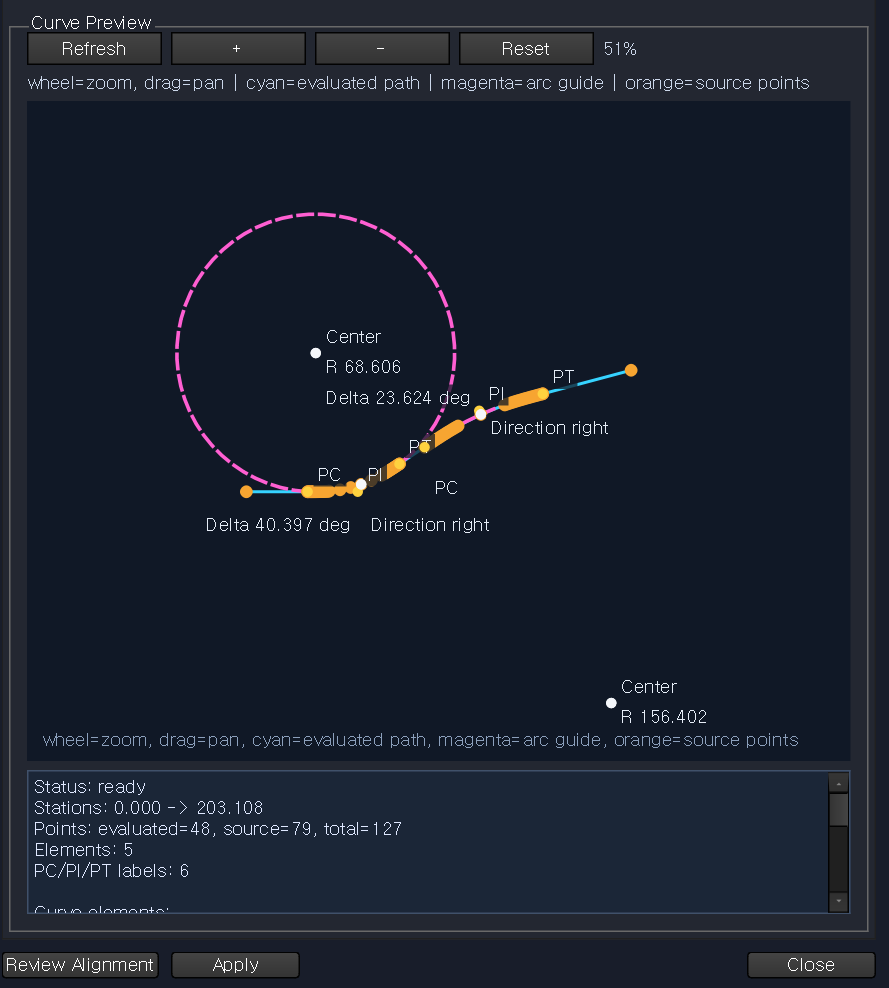
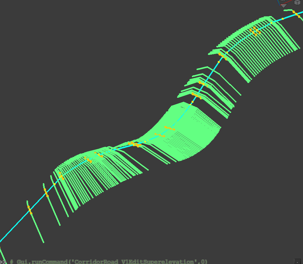
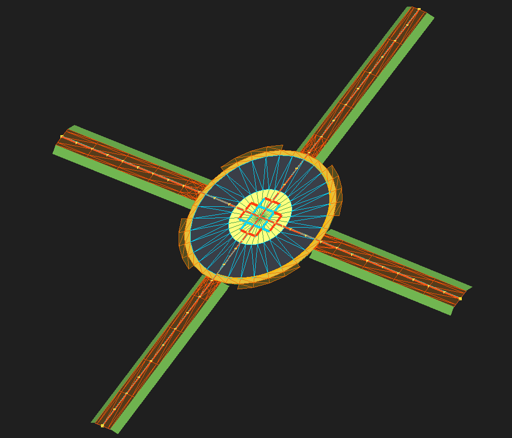
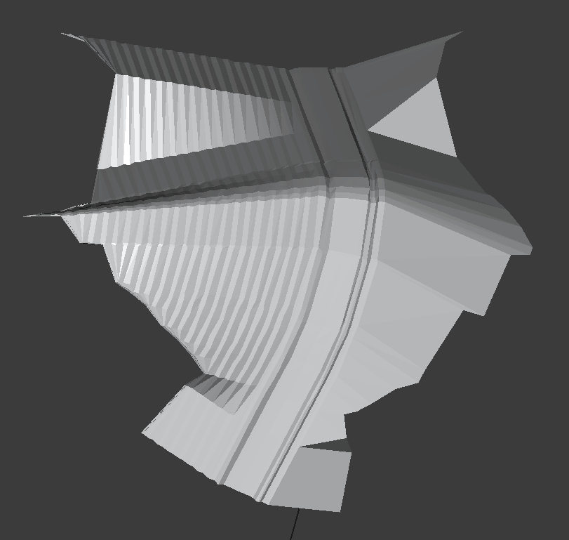
Inspiration
Parametric Road was inspired by the high cost, limited flexibility, and proprietary workflows of conventional road-design software. We wanted to create an open and programmable alternative that could automate practical road modeling using FreeCAD and Python.
What it does
Parametric Road is an open-source road-design platform that automates:
- Horizontal and vertical alignments
- Existing and finished-grade profiles
- 3D centerlines
- Parametric cross-sections
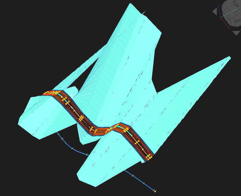
- Corridor modeling
- Cut and fill analysis
- Engineering and BIM-ready outputs
Its core workflow is:
Terrain
→ Alignment
→ Profiles
→ 3D Centerline
→ Assembly
→ Cross-Sections
→ Corridor
→ Quantities
How we built it
We developed Parametric Road as a custom FreeCAD Workbench using Python and the FreeCAD API.
The system combines horizontal alignment coordinates with vertical elevations by station to generate a 3D centerline:
[ \mathbf{C}(s)= \begin{bmatrix} x(s) \ y(s) \ z(s) \end{bmatrix} ]
Road assemblies are placed along the centerline, oriented to the local road direction, and connected to create corridor geometry. CSV and LandXML workflows are also used for data exchange and testing.
Challenges we ran into
The main challenges included:
- Combining horizontal and vertical geometry accurately
- Maintaining stable cross-section orientation along curved 3D paths
- Preventing twisted or invalid loft geometry
- Creating valid shells and watertight solids
- Managing FreeCAD object dependencies and recomputation
- Calculating reliable cut and fill quantities from terrain data
Accomplishments that we're proud of
We successfully built an integrated parametric workflow that connects terrain, alignments, profiles, 3D centerlines, assemblies, cross-sections, and corridor models.
We are especially proud that the project can generate road geometry from engineering parameters instead of relying on repetitive manual modeling. It also demonstrates that FreeCAD can be extended into a practical civil-engineering platform.
What we learned
We learned that road design software requires more than visible 3D geometry. Reliable topology, object dependencies, recomputation order, and engineering outputs are equally important.
We also learned how civil engineering rules, computational geometry, parametric CAD, and open data standards must work together in one consistent system.
What's next for Parametric Road Design for Practical Road Construction
The next stage is to make Parametric Road suitable for practical road-construction workflows by adding:
- Superelevation and crossfall
- Cut and fill side slopes
- Intersections and ramps
- Drainage structures
- Automated cross-section drawings
- Quantity and earthwork reports
- IFC 4.3 and OpenDRIVE export
- Watertight solid validation
- AI-assisted design review and automation
Our long-term goal is to make road design more open, programmable, reproducible, and accessible.
Built With
- codex
- freecad
- python

Log in or sign up for Devpost to join the conversation.